Gallow Hill

Hill, Mountain in Midlothian

Scotland

Gallow Hill

Dubious doorway, Currie House Beyond is an extended garden, the danger however is obvious.
Dubious doorway, Currie House Credit: Richard Webb

Gallow Hill is a prominent geographical feature located in Midlothian, Scotland. Situated within the Scottish Lowlands, this hill is part of the wider Pentland Hills range, renowned for its scenic beauty and outdoor recreational opportunities.

Rising to an elevation of approximately 460 meters (1,509 feet), Gallow Hill offers breathtaking panoramic views of the surrounding countryside. It is characterized by its gently sloping sides, covered in a patchwork of greenery and heather, which makes it a popular destination for hikers, nature enthusiasts, and photographers. The hill's exposed rocky outcrops add to its rugged charm and provide opportunities for rock climbing and scrambling.

Gallow Hill holds historical significance as well. It is believed that the name "Gallow" originates from the gallows that once stood on the hill during medieval times. These gallows served as a site for public executions, a grim reminder of the area's past. Today, the hill serves as a place of reflection and remembrance for those interested in the region's history.

Access to Gallow Hill is relatively straightforward, with various walking routes and trails leading to its summit. The nearby towns of Penicuik and Loanhead provide convenient starting points for those planning to explore the hill. Additionally, the Pentland Hills Regional Park, of which Gallow Hill is a part, offers a range of amenities and visitor facilities to enhance the outdoor experience.

Gallow Hill in Midlothian is a scenic and historically significant destination, attracting visitors with its natural beauty, recreational opportunities, and reminders of the region's past.

If you have any feedback on the listing, please let us know in the comments section below.
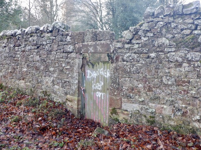
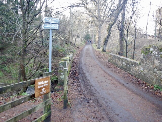
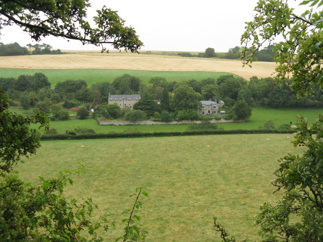
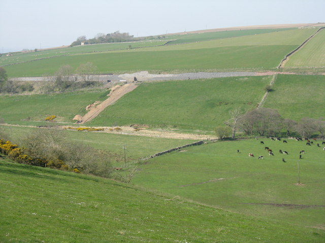
Gallow Hill Images

Images are sourced within 2km of 55.841161/-3.0220269 or Grid Reference NT3661. Thanks to Geograph Open Source API. All images are credited.

Dubious doorway, Currie House Beyond is an extended garden, the danger however is obvious.
Dubious doorway, Currie House
Beyond is an extended garden, the danger however is obvious.
Currie Bridge Crossing Middleton South Burn / Gore Water by Borthwick Castle. There are two path entrances here which form a 2km loop of high quality woodland and gorge scenery.
Currie Bridge
Crossing Middleton South Burn / Gore Water by Borthwick Castle. There are two path entrances here which form a 2km loop of high quality woodland and gorge scenery.
West from Borthwick Bank Looking to Borthwick Castle with the valley of the Gore Water beyond and the Pentland Hills on the horizon.
West from Borthwick Bank
Looking to Borthwick Castle with the valley of the Gore Water beyond and the Pentland Hills on the horizon.
Fields at Haughhead Looking across to Catcune House.
Fields at Haughhead
Looking across to Catcune House.
Borthwick Farm And bridge over the Gore Water. Other views for comparison, 4 and 6 years earlier, are <a href="https://www.geograph.org.uk/photo/608186">NT3659 : Borthwick Farm and the bridge over Gore Water</a> and <a href="https://www.geograph.org.uk/photo/105951">NT3659 : Borthwick village</a>.
Borthwick Farm
And bridge over the Gore Water. Other views for comparison, 4 and 6 years earlier, are NT3659 : Borthwick Farm and the bridge over Gore Water and NT3659 : Borthwick village.
Currie Wood The entrance to this Woodland Trust property that runs alongside the Gore Water at Borthwick.
Currie Wood
The entrance to this Woodland Trust property that runs alongside the Gore Water at Borthwick.
Scout hut at Borthwick With playing field, and with no large population nearby, it looks as if it could be a 'camp' site facility.
Scout hut at Borthwick
With playing field, and with no large population nearby, it looks as if it could be a 'camp' site facility.
Borthwick Castle, from the bridge over the Gore Water A 15thC castle set in an imposing position above the Gore Water.
Borthwick Castle, from the bridge over the Gore Water
A 15thC castle set in an imposing position above the Gore Water.
Borthwick Farm buildings By the bridge over the Gore Water.
Borthwick Farm buildings
By the bridge over the Gore Water.
Borthwick Castle from Borthwick Mains Showing the damage inflicted by Cromwell and his supporters - for more details see Kim Traynor's detailed coverage of the subject, e.g. <a href="https://www.geograph.org.uk/photo/2049746">NT3659 : Oliver Cromwell's calling card, Borthwick Castle</a>.
Borthwick Castle from Borthwick Mains
Showing the damage inflicted by Cromwell and his supporters - for more details see Kim Traynor's detailed coverage of the subject, e.g. NT3659 : Oliver Cromwell's calling card, Borthwick Castle.
The entrance gates to Borthwick Parish Churchyard The gates and pillars double up as a World War One memorial.
The entrance gates to Borthwick Parish Churchyard
The gates and pillars double up as a World War One memorial.
New embankment for the Borders Railway Overlooking the Gore Water at Borthwick'
New embankment for the Borders Railway
Overlooking the Gore Water at Borthwick'
Sunlit pasture at Borthwick On a grey day a brief shaft of sun illuminates a field of cattle across the Gore Water at Borthwick Farm. Borthwick Castle and the kirk enrich the landscape of this secluded valley.
Sunlit pasture at Borthwick
On a grey day a brief shaft of sun illuminates a field of cattle across the Gore Water at Borthwick Farm. Borthwick Castle and the kirk enrich the landscape of this secluded valley.
The entrance to Borthwick Castle Looking north-eastward.
The entrance to Borthwick Castle
Looking north-eastward.
Road to Currie Mains Narrow road by Borthwick, Midlothian.
Road to Currie Mains
Narrow road by Borthwick, Midlothian.
Borthwick Castle
Borthwick Castle
The church at Borthwick
The road to Currie House, Borthwick
Show me another place!

Gallow Hill is located at Grid Ref: NT3661 (Lat: 55.841161, Lng: -3.0220269)

Unitary Authority: Midlothian

Police Authority: The Lothians and Scottish Borders

What 3 Words

///pylon.uttering.journals. Near Gorebridge, Midlothian

Nearby Locations

Gallow Hill Mountskip Wood

Related Wikis

Fushiebridge railway station

Fushiebridge railway station served the area of Fushiebridge, Gorebridge, from 1847 to 1959 on the Waverley Route. == History == The station opened on...

Catcune Castle

Catcune Castle was a castle around 1 mile (1.6 km) south of Gorebridge, north of the Gore Water, in Midlothian, Scotland. == History == This was originally...

Gorebridge railway station

Gorebridge is a railway station on the Borders Railway, which runs between Edinburgh Waverley and Tweedbank. The station, situated 11 miles 77 chains...

Newbyres Castle

Newbyres Castle was a 16th-century tower house, in Gorebridge, Midlothian, Scotland, west of the main street. The tower occupied a roughly triangular position...

Birkenside, Midlothian

Birkenside is a village, adjacent to the A7 road, at the south of Gorebridge in Midlothian, Scotland. == See also == List of places in Midlothian List...

Gorebridge

Gorebridge is a former mining village in Midlothian, Scotland. Gorebridge has an annual Gala Day which always takes place on the 3rd Saturday in June....

Borthwick Castle

Borthwick Castle is one of the largest and best-preserved surviving medieval Scottish fortifications. It is located twelve miles (19 km) south-east of...

Borthwick

Borthwick is a hamlet, parish and stream in Midlothian, Scotland. The parish includes the 15th century Borthwick Castle, which is to the east of the village...

Nearby Amenities

Located within 500m of 55.841161,-3.0220269
Power: pole
Lat/Long: 55.8447014/-3.0172171
Power: pole
Lat/Long: 55.8450613/-3.018741
Power: pole
Lat/Long: 55.8454781/-3.0203489
Barrier: block
Lat/Long: 55.8406362/-3.0289873
The data included in this document is from www.openstreetmap.org. The data is made available under ODbL.

Have you been to Gallow Hill?

Leave your review of Gallow Hill below (or comments, questions and feedback).