Brierley Hill
Hill, Mountain in Herefordshire
England
Brierley Hill
Brierley Hill is a small hill located in Herefordshire, a county in England. Rising to an elevation of approximately 250 meters, it is considered a prominent landmark in the region. Situated just a few miles west of the town of Hereford, Brierley Hill offers picturesque views of the surrounding countryside.
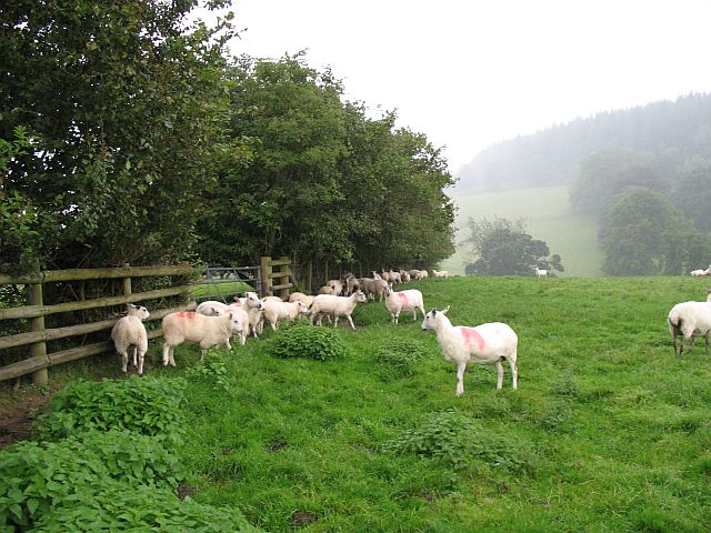
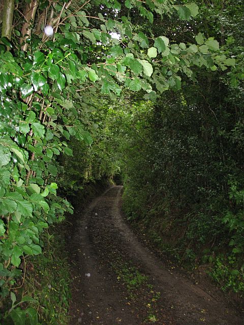
The hill itself is characterized by gentle slopes covered in lush green vegetation, predominantly grasses and shrubs. It is a popular destination among locals and tourists alike, who visit the area for recreational activities such as hiking, picnicking, and photography. The hill's well-maintained footpaths make it easily accessible to visitors of all ages and fitness levels.
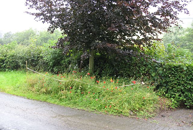
Flora and fauna are abundant on Brierley Hill, with a diverse range of plant and animal species thriving in its ecosystem. Wildflowers, including bluebells and primroses, can be spotted during the spring months, adding vibrant colors to the landscape. Small mammals like rabbits and foxes can also be seen darting through the undergrowth.
In addition to its natural beauty, Brierley Hill also holds historical significance. The remains of an Iron Age hillfort can be found at the summit, offering a glimpse into the area's ancient past. Archaeological excavations have revealed artifacts, pottery, and evidence of human habitation, indicating that the hill played a vital role in the region's history.
Overall, Brierley Hill is a captivating natural feature in Herefordshire, offering visitors the opportunity to explore its scenic surroundings and learn about its rich historical heritage.
If you have any feedback on the listing, please let us know in the comments section below.
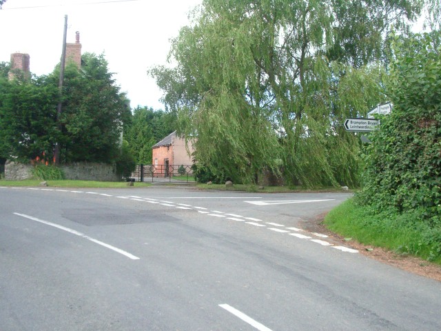
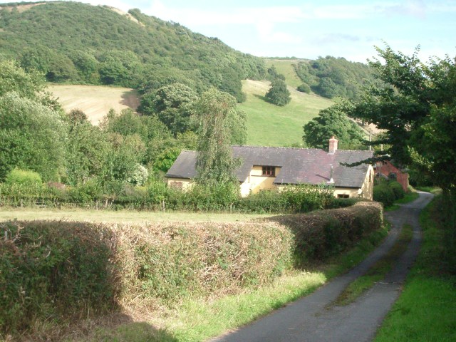
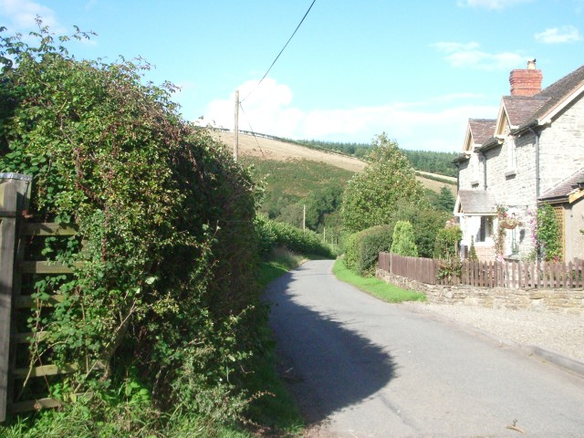
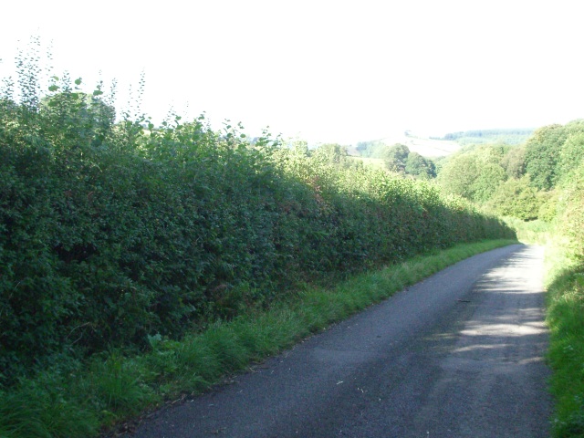
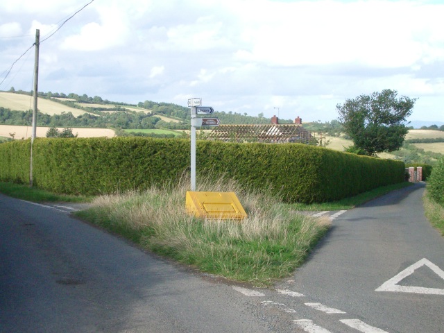
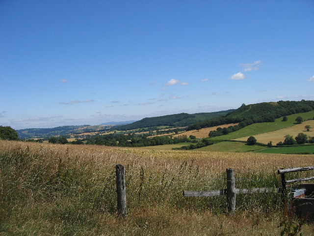
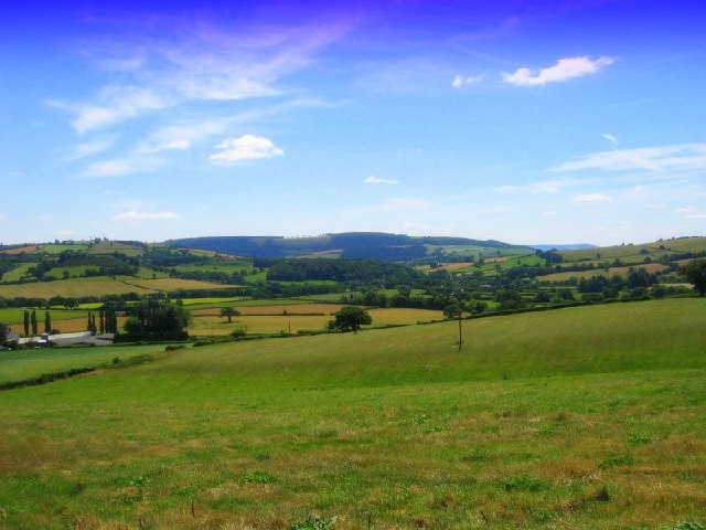
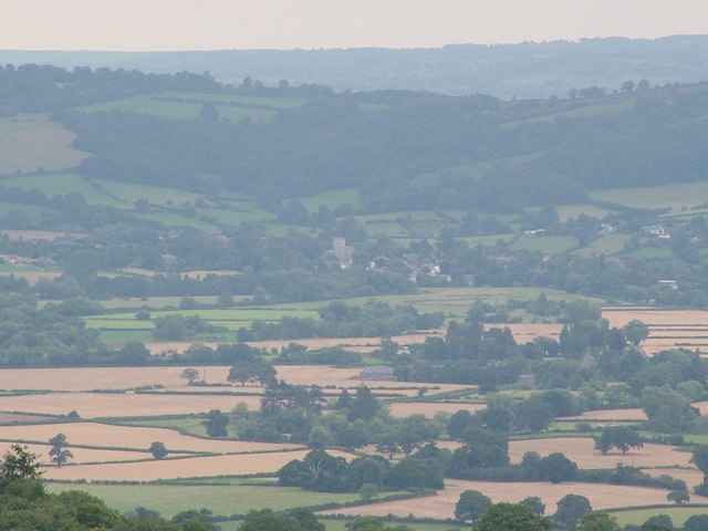
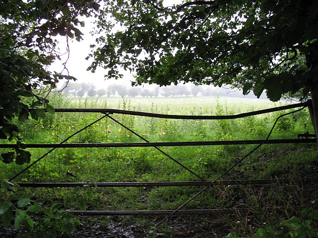
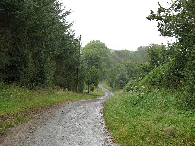
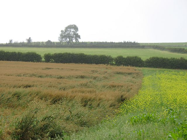
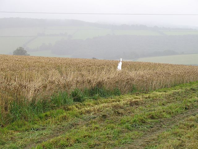
Brierley Hill Images
Images are sourced within 2km of 52.302536/-2.9584817 or Grid Reference SO3467. Thanks to Geograph Open Source API. All images are credited.


Brierley Hill is located at Grid Ref: SO3467 (Lat: 52.302536, Lng: -2.9584817)
Unitary Authority: County of Herefordshire
Police Authority: West Mercia
What 3 Words
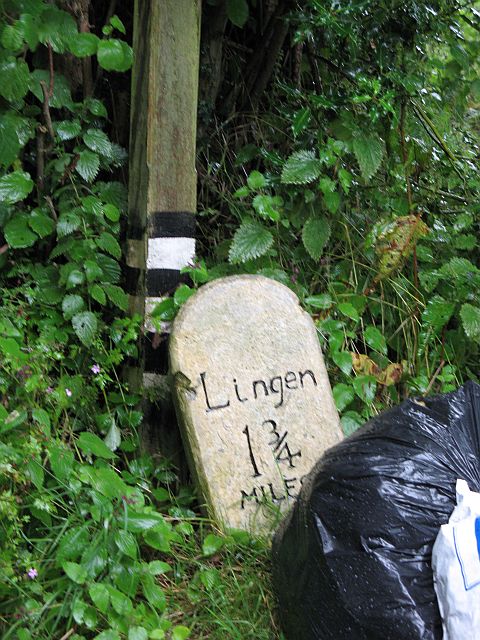
///farmed.popping.chum. Near Lingen, Herefordshire
Nearby Locations
Related Wikis

Willey, Herefordshire
Willey is a civil parish in Herefordshire, on the Welsh-English borders. The main source of employment is farming and there were a total of 61 residents...
Stapleton, Herefordshire
Stapleton is a small village and civil parish in Herefordshire near the border town of Presteigne in Wales. The parish borders on Willey, Kinsham and Presteigne...
Lingen, Herefordshire
Lingen is a village and civil parish, situated in the wooded hills of Herefordshire, England in the Welsh Marches near to the border with Wales and close...
Birtley, Herefordshire
Birtley is a hamlet in north Herefordshire, in England. It is situated to the west of Ludlow and Leominster, approximately 16 km (9.9 mi) from both towns...
Limebrook Priory
Limebrook Priory was a priory in Lingen, Herefordshire, England at grid reference SO37386604. == History == === Origins === Situated in Lingen, Herefordshire...
Kinsham
Kinsham is a civil parish which lies in the wooded hills of Herefordshire, England in the Marches near to the border with Wales, about 3 miles (5 km) east...
Combe, Herefordshire
Combe is a small village and civil parish in the English county of Herefordshire. The village lies 4 km (2 mi) east of Presteigne near the confluence...
Kinsham Grange
Kinsham Grange may have been a priory near the River Lugg in Herefordshire, England at grid reference SO380652. It now seems likely that an error by John...
Have you been to Brierley Hill?
Leave your review of Brierley Hill below (or comments, questions and feedback).