Cults Hill
Hill, Mountain in Fife
Scotland
Cults Hill

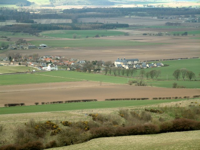
Cults Hill is a small hill located in the region of Fife, Scotland. It is situated about 3 miles northeast of the town of Cupar and approximately 7 miles southwest of the city of St. Andrews. The hill rises to an elevation of around 176 meters, providing panoramic views of the surrounding countryside.
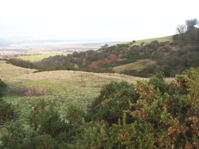
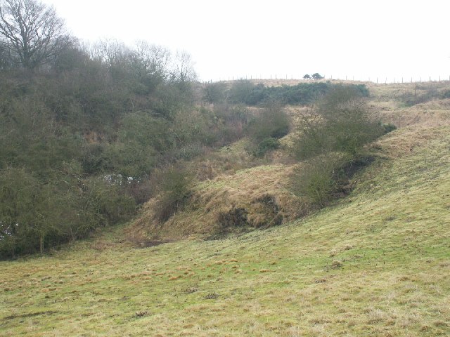
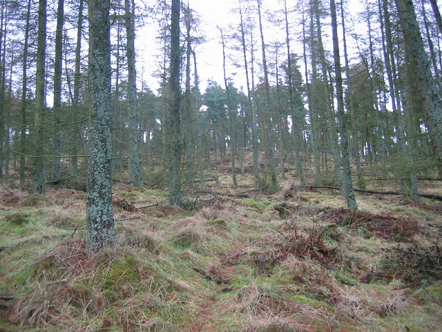
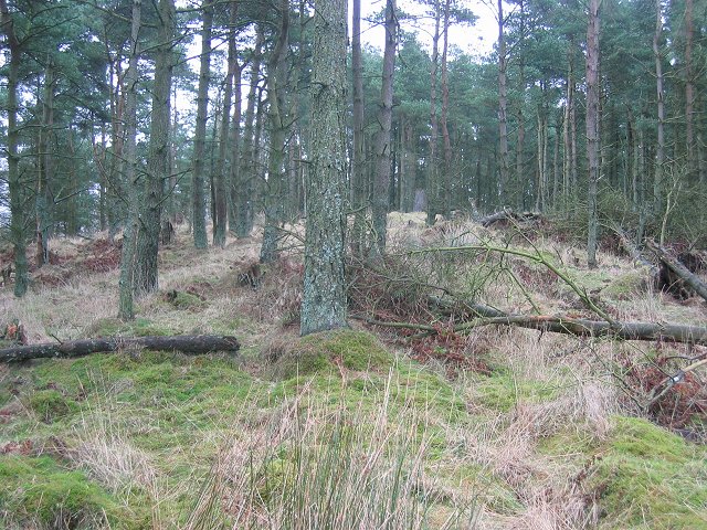
Cults Hill is a popular destination for hikers and nature enthusiasts due to its accessible location and stunning vistas. The hill is covered in lush greenery, with a variety of plant and animal species thriving in its vicinity. Visitors can expect to encounter a diverse range of flora and fauna, including wildflowers, birds, and small mammals.
The summit of Cults Hill is marked by a trig point, which serves as a navigational aid and is often used as a reference point by hikers. From this vantage point, one can enjoy breathtaking views of the rolling Fife countryside, with its patchwork fields, charming villages, and distant mountains.
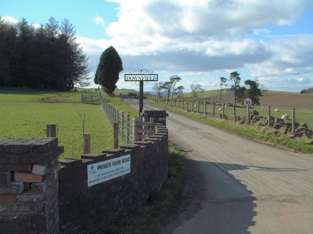
Access to Cults Hill is relatively straightforward, with various footpaths leading up to the summit. These trails are well-maintained and suitable for walkers of all abilities. The hill is a popular spot for outdoor activities such as walking, picnicking, and photography, offering a peaceful and tranquil escape from the bustle of nearby towns.
Overall, Cults Hill is a picturesque and accessible natural landmark in Fife, offering visitors the opportunity to connect with nature and enjoy stunning views of the surrounding countryside.
If you have any feedback on the listing, please let us know in the comments section below.
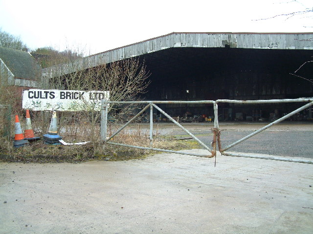
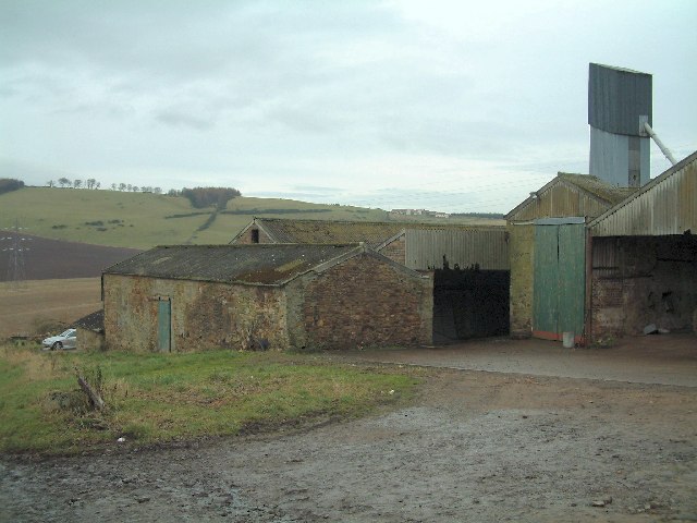
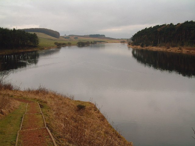
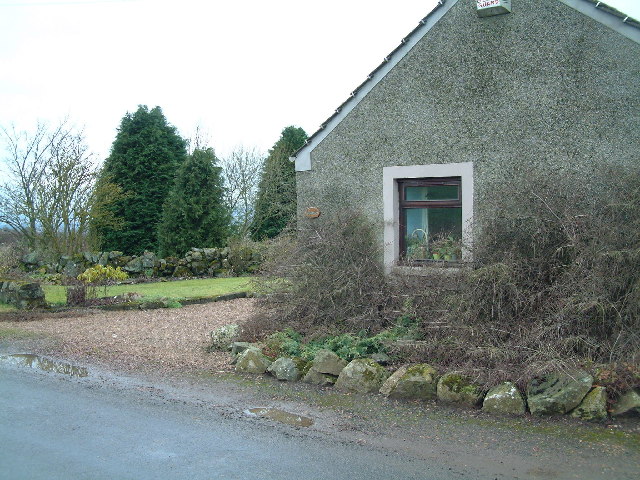
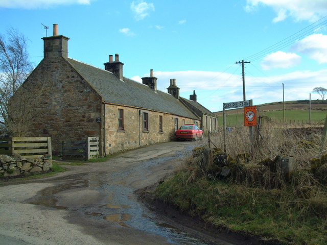
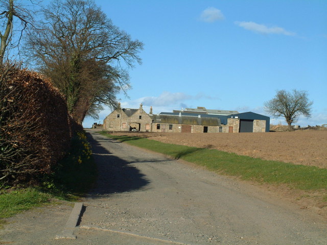
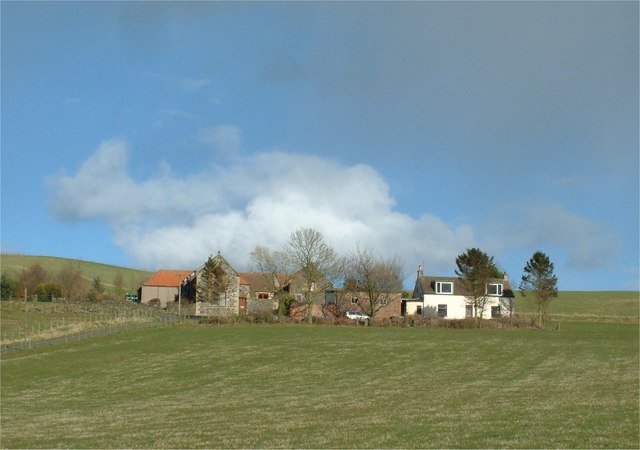
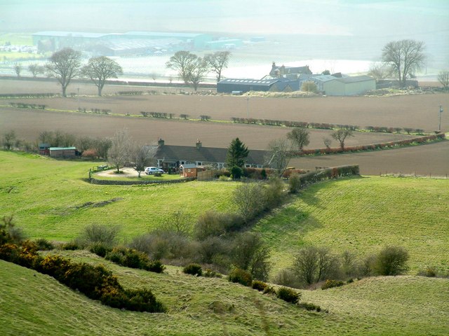
Cults Hill Images
Images are sourced within 2km of 56.261279/-3.0551714 or Grid Reference NO3408. Thanks to Geograph Open Source API. All images are credited.


Cults Hill is located at Grid Ref: NO3408 (Lat: 56.261279, Lng: -3.0551714)
Unitary Authority: Fife
Police Authority: Fife
What 3 Words
///wildfires.huddling.boards. Near Kingskettle, Fife
Nearby Locations
Related Wikis

Priestfield House
Priestfield House was a Victorian Country House near Cults, Fife, Scotland. == History == The estate, originally an outlying property of Crawford Priory...

Pitlessie
Pitlessie is a small village in Cults, Fife, Scotland. It is roughly 4+1⁄2 miles (7 km) southwest of the nearest large town, Cupar, and 23 miles (37 kilometres...

Balmalcolm
Balmalcolm is a small village in the Kettle parish of Fife, Scotland. Encompassed by the low-lying Howe of Fife, the village is roughly 5+1⁄2 miles (9...
St Andrews Burghs (UK Parliament constituency)
St Andrews Burghs was a district of burghs constituency, representing various burghs of Fife, Scotland, in the House of Commons of the Parliament of the...

Springfield, Fife
Springfield is a village that lies at the edge of the Howe of Fife, to the south-west of the town of Cupar, Fife, Scotland. The origin of the community...
Springfield railway station (Scotland)
Springfield railway station serves the village of Springfield in Fife, Scotland. The station has two platforms and is unstaffed. Services are operated...

Kingskettle
Kingskettle or often simply Kettle is a village and parish in Fife, Scotland. Encompassed by the Howe of Fife, the village is approximately 5.5 miles...

Scotstarvit Tower
Scotstarvit Tower is a tower house in Fife, Scotland. It is situated 2 miles (3.2 km) south of Cupar, between Tarvit Hill and Walton Hill, south of the...
Nearby Amenities
Located within 500m of 56.261279,-3.0551714Have you been to Cults Hill?
Leave your review of Cults Hill below (or comments, questions and feedback).