Hell Peak
Hill, Mountain in Herefordshire
England
Hell Peak
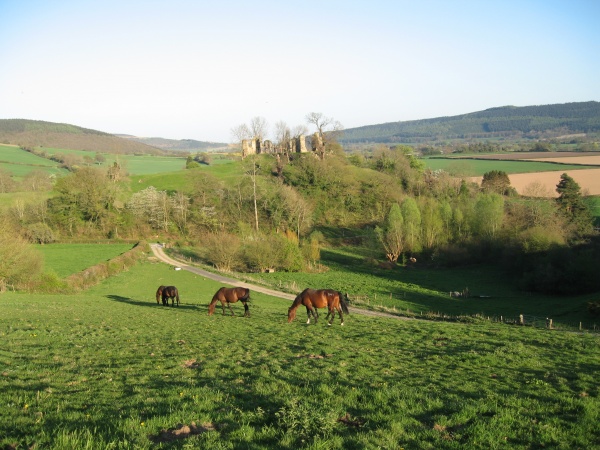
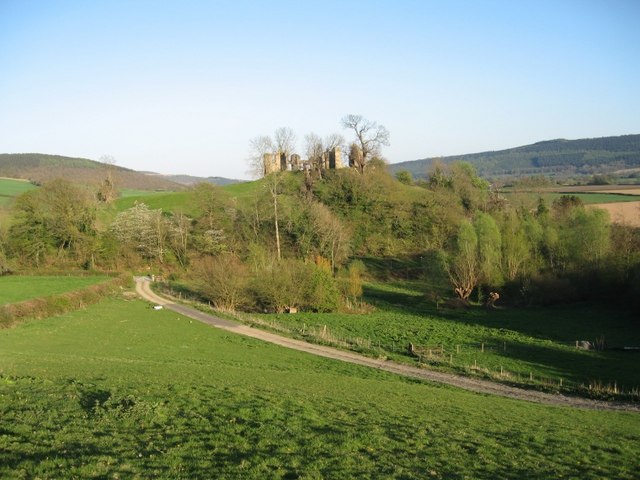
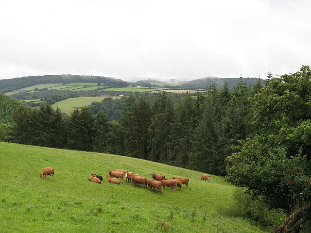
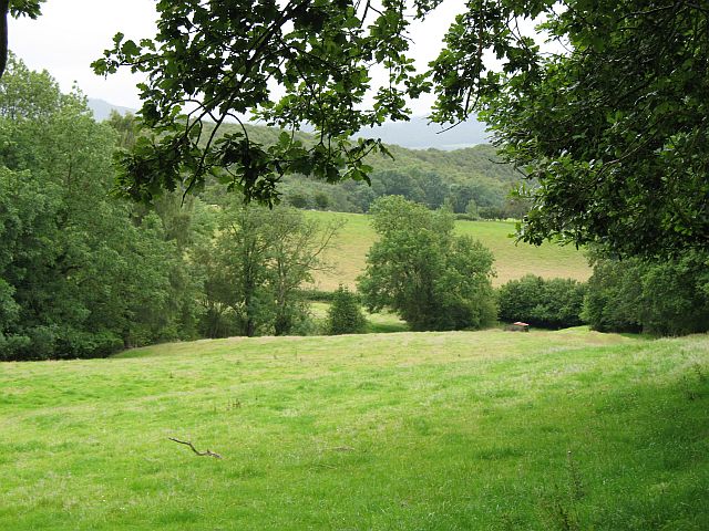
Hell Peak is a prominent hill located in the county of Herefordshire, England. Situated in the picturesque countryside, it forms part of the larger Malvern Hills range. Despite its ominous name, Hell Peak offers breathtaking views and is a popular destination for hikers, nature enthusiasts, and those seeking a challenging outdoor experience.
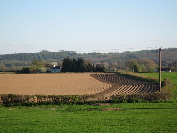
Rising to an elevation of approximately 1,500 feet (457 meters), Hell Peak offers panoramic vistas of the surrounding landscape. From its summit, visitors can admire the rolling hills, lush green valleys, and quaint villages that dot the countryside. On clear days, it is even possible to catch glimpses of the distant Welsh mountains.
The hill is characterized by its rugged terrain, with steep slopes and rocky outcrops. This makes it a thrilling challenge for experienced climbers and adventurers looking to test their stamina and skills. The ascent to Hell Peak is rewarded by the awe-inspiring natural beauty that unfolds along the way.
The area surrounding Hell Peak is rich in flora and fauna, with a diverse range of plant species and wildlife. The hill is covered in heather, bracken, and grasses, creating a vibrant mosaic of colors throughout the seasons. It is not uncommon to spot birds of prey, such as kestrels and buzzards, soaring overhead, adding to the enchanting ambiance of the place.
Overall, Hell Peak in Herefordshire offers nature lovers a unique and captivating experience. With its challenging terrain and stunning vistas, it continues to attract visitors from far and wide who are eager to explore its natural wonders and embrace the sense of adventure it offers.
If you have any feedback on the listing, please let us know in the comments section below.
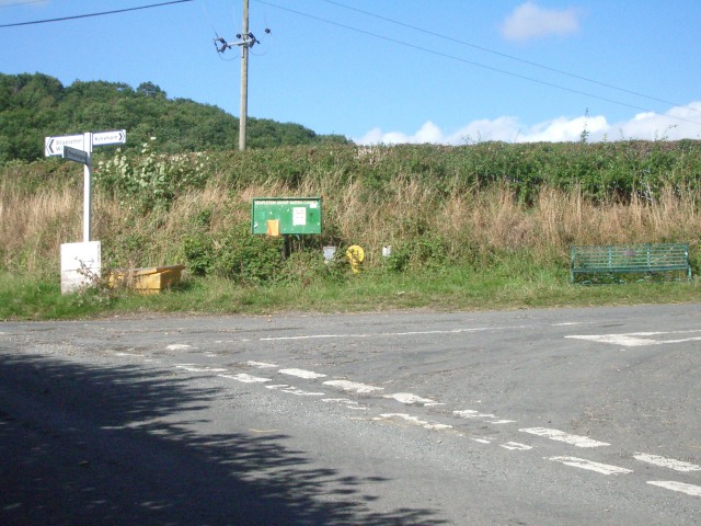
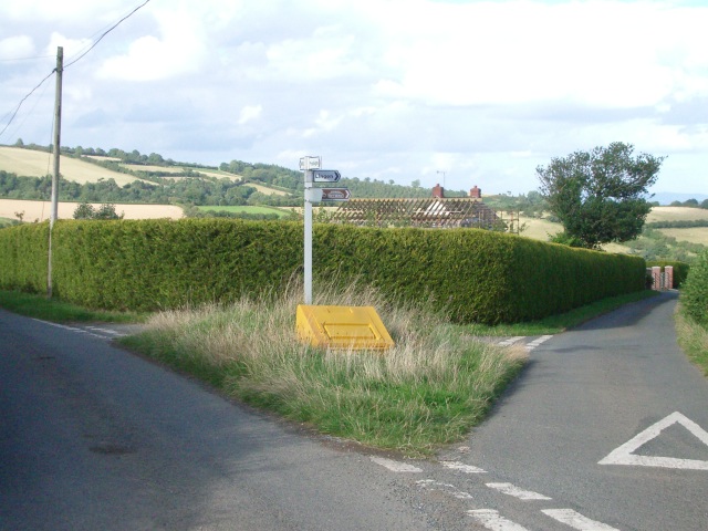
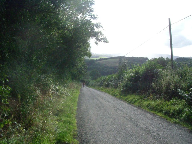
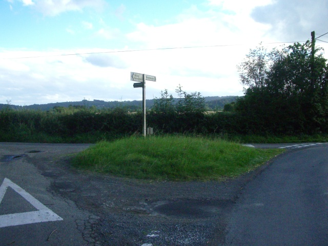
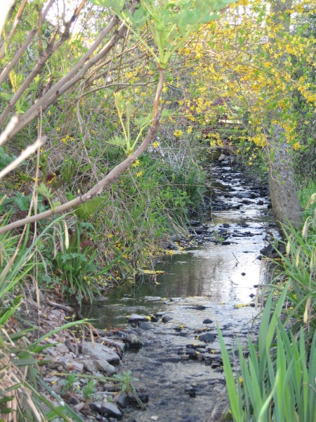
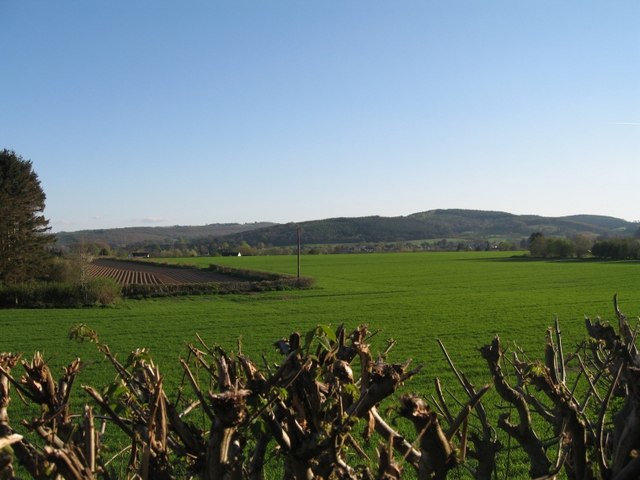
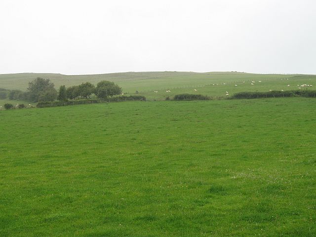
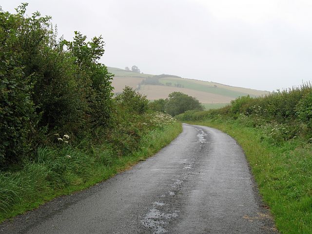
Hell Peak Images
Images are sourced within 2km of 52.292955/-2.9907377 or Grid Reference SO3266. Thanks to Geograph Open Source API. All images are credited.


Hell Peak is located at Grid Ref: SO3266 (Lat: 52.292955, Lng: -2.9907377)
Unitary Authority: County of Herefordshire
Police Authority: West Mercia
What 3 Words
///musician.bandwagon.imported. Near Presteigne, Powys
Nearby Locations
Related Wikis

Stapleton, Herefordshire
Stapleton is a small village and civil parish in Herefordshire near the border town of Presteigne in Wales. The parish borders on Willey, Kinsham and Presteigne...

St Andrew's Church, Presteigne
St Andrew's Church is a Church of England parish church in Presteigne, Powys, Wales. It was first constructed in the 9th century by the Anglo-Saxons and...
Willey, Herefordshire
Willey is a civil parish in Herefordshire, on the Welsh-English borders. The main source of employment is farming and there were a total of 61 residents...
Norton, Powys
Norton is a village in Powys within the historic boundaries of Radnorshire, Wales. In 1086, Norton was recorded as a settlement within the hundred of Leintwardine...

Presteigne
Presteigne (; Welsh: Llanandras: the church of St. Andrew) is a town and community in Radnorshire, Powys, Wales on the south bank of the River Lugg. Formerly...

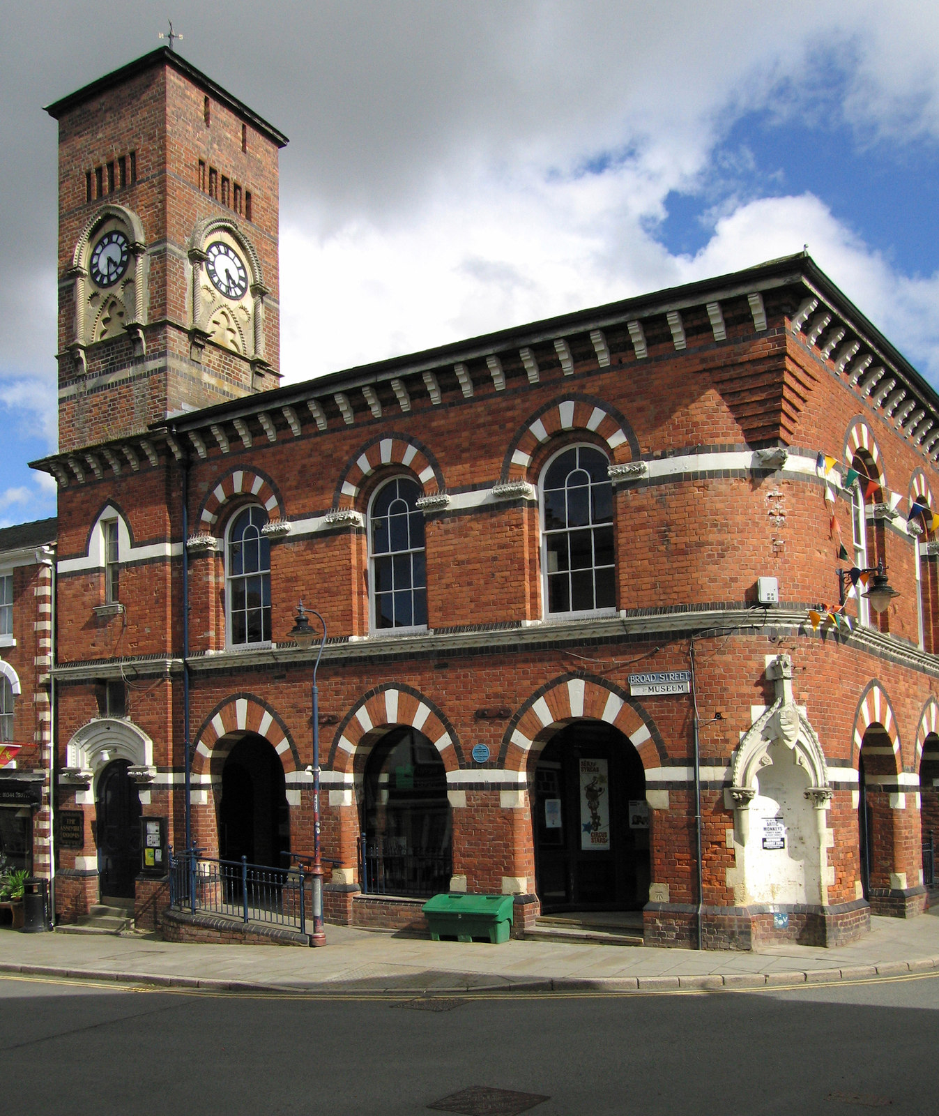
Shire Hall, Presteigne
The Shire Hall is a municipal structure in Broad Street, Presteigne, Powys, Wales. The building incorporates a well-preserved courtroom and a museum known...

Radnorshire Arms
The Radnorshire Arms is a well-preserved Jacobean building in the Welsh border town of Presteigne, in Powys. The building has the date 1616 over its door...
Assembly Rooms, Presteigne
The Assembly Rooms in Presteigne (Welsh: Ystafelloedd Cynnull Llanandras), formerly Presteigne Town Hall (Welsh: Neuadd y Dref Llanandras), is a municipal...
Have you been to Hell Peak?
Leave your review of Hell Peak below (or comments, questions and feedback).