Hangman's Acre
Wood, Forest in Herefordshire
England
Hangman's Acre
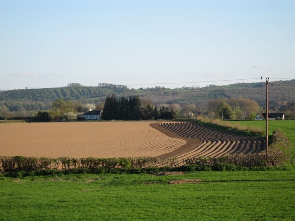
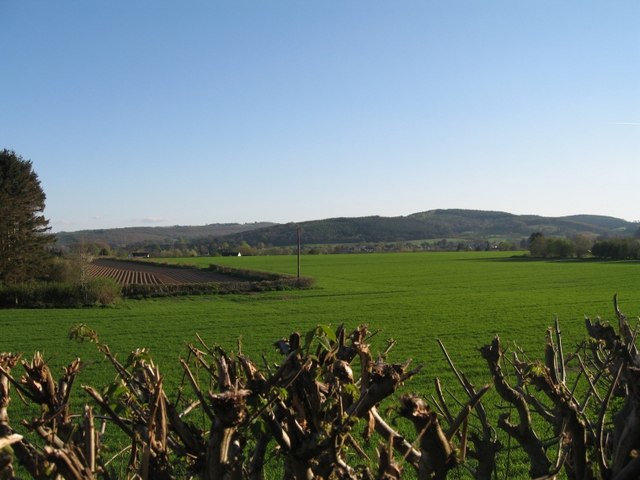
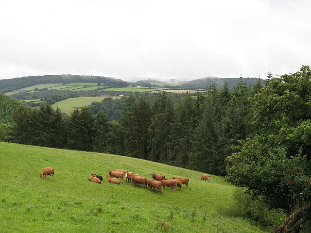
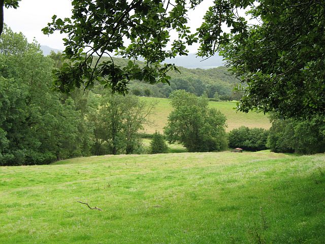
Hangman's Acre is a small woodland area located in Herefordshire, England. Nestled within the picturesque countryside, it is known for its dense and ancient forest, making it a popular destination for nature enthusiasts and hikers alike. The woodland covers an area of approximately 100 acres, providing a serene and tranquil escape from the hustle and bustle of everyday life.
The name "Hangman's Acre" is steeped in history and folklore. Legends suggest that the area was once used as a site for public executions, hence the macabre name. However, there is little historical evidence to support this claim, and the name may simply be a result of local folklore and imagination.
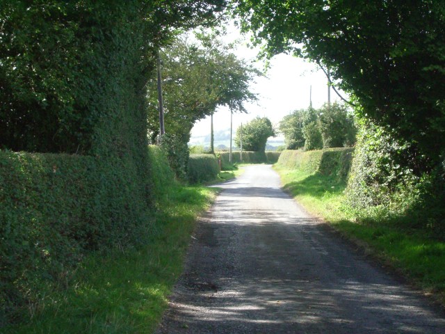
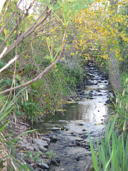
The forest itself is characterized by a diverse range of tree species, including oak, beech, and birch. The dense canopy provides ample shade, creating a cool and refreshing atmosphere even on the hottest summer days. The forest floor is adorned with a rich carpet of mosses, ferns, and wildflowers, adding to the area's natural beauty.
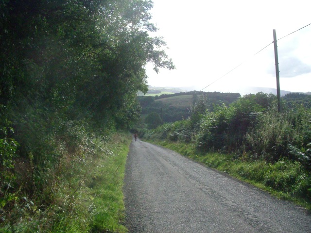
Wildlife thrives in Hangman's Acre, with various species calling the woodland home. Visitors may spot grey squirrels darting between branches, while birdwatchers can delight in the sight of woodpeckers and songbirds flitting through the trees. Deer and foxes are known to roam the area, further enhancing the sense of wilderness.
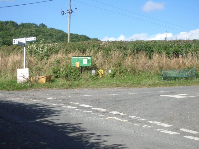
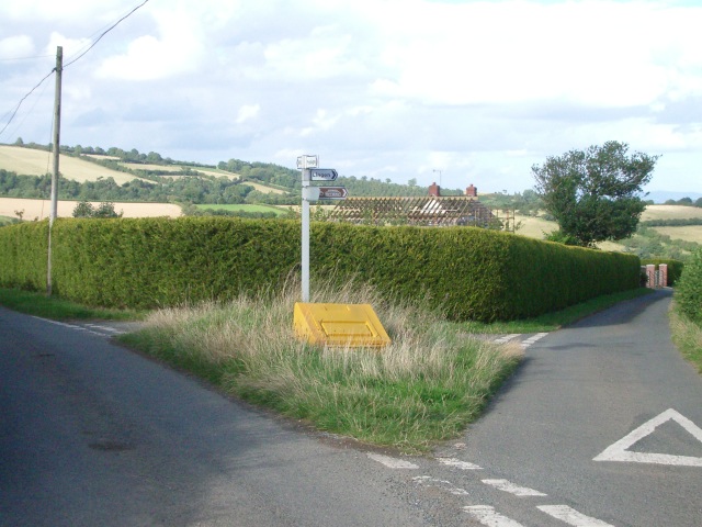
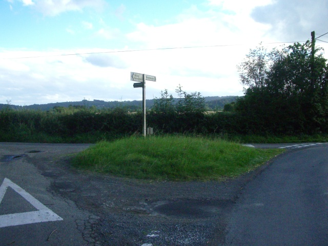
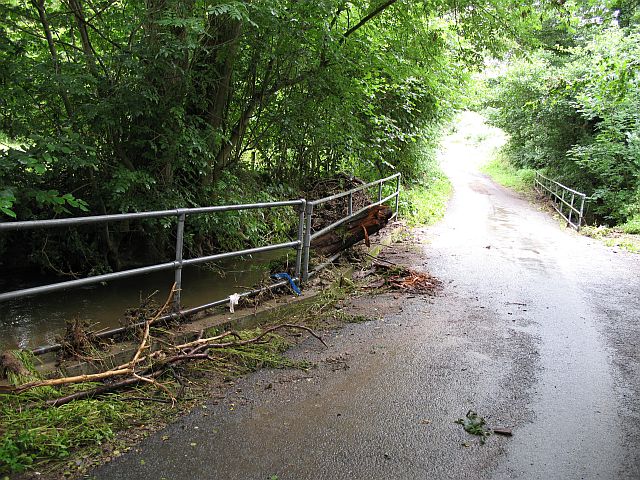
A network of well-marked trails crisscrosses the woodland, offering visitors the opportunity to explore its hidden corners. These paths cater to all levels of fitness, from leisurely strolls to more challenging hikes. Information boards along the way provide interesting facts about the flora and fauna, as well as the history of the area.
Overall, Hangman's Acre in Herefordshire is a captivating woodland that impresses visitors with its natural beauty, diverse wildlife, and intriguing folklore. It is a haven for nature lovers and a place to immerse oneself in the serenity of the forest
If you have any feedback on the listing, please let us know in the comments section below.
Hangman's Acre Images
Images are sourced within 2km of 52.291059/-2.9906074 or Grid Reference SO3266. Thanks to Geograph Open Source API. All images are credited.


Hangman's Acre is located at Grid Ref: SO3266 (Lat: 52.291059, Lng: -2.9906074)
Unitary Authority: County of Herefordshire
Police Authority: West Mercia
What 3 Words
///freedom.gliding.compiler. Near Presteigne, Powys
Nearby Locations
Related Wikis

Stapleton, Herefordshire
Stapleton is a small village and civil parish in Herefordshire near the border town of Presteigne in Wales. The parish borders on Willey, Kinsham and Presteigne...

Presteigne
Presteigne (; Welsh: Llanandras: the church of St. Andrew) is a town and community in Radnorshire, Powys, Wales on the south bank of the River Lugg. Formerly...

Shire Hall, Presteigne
The Shire Hall is a municipal structure in Broad Street, Presteigne, Powys, Wales. The building incorporates a well-preserved courtroom and a museum known...

Radnorshire Arms
The Radnorshire Arms is a well-preserved Jacobean building in the Welsh border town of Presteigne, in Powys. The building has the date 1616 over its door...

Assembly Rooms, Presteigne
The Assembly Rooms in Presteigne (Welsh: Ystafelloedd Cynnull Llanandras), formerly Presteigne Town Hall (Welsh: Neuadd y Dref Llanandras), is a municipal...
Willey, Herefordshire
Willey is a civil parish in Herefordshire, on the Welsh-English borders. The main source of employment is farming and there were a total of 61 residents...

St Andrew's Church, Presteigne
St Andrew's Church is a Church of England parish church in Presteigne, Powys, Wales. It was first constructed in the 9th century by the Anglo-Saxons and...
Norton, Powys
Norton is a village in Powys within the historic boundaries of Radnorshire, Wales. In 1086, Norton was recorded as a settlement within the hundred of Leintwardine...
Have you been to Hangman's Acre?
Leave your review of Hangman's Acre below (or comments, questions and feedback).