Landhead Hill

Hill, Mountain in Angus

Scotland

Landhead Hill

View from above Audallan This is interesting scenery. A steep sided valley with a small burn and flat floor. The valley runs along the base of the higher hills rather than away from them and gives one the impression that this must have been some sort of glacial meltwater channel.
View from above Audallan Credit: Gordon Hatton

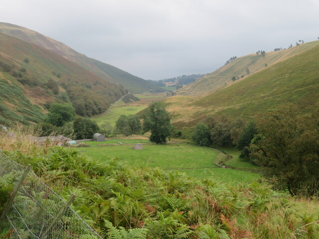
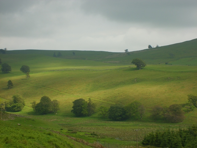
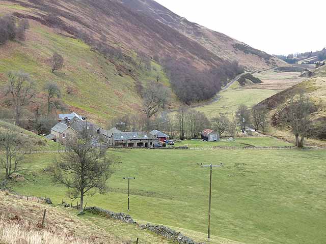
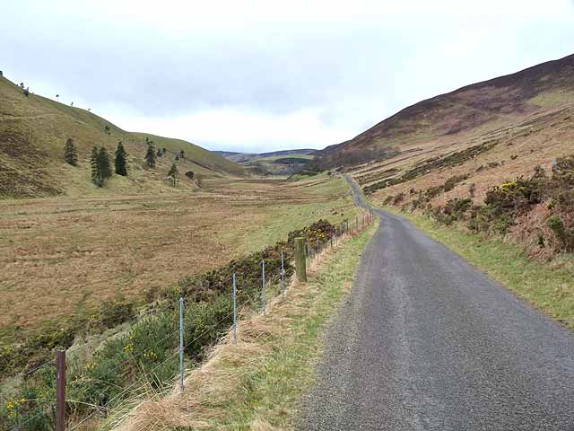
Landhead Hill is a prominent hill located in Angus, Scotland. Standing at an elevation of 406 meters, it offers stunning panoramic views of the surrounding countryside and coastline. The hill is a popular destination for hikers and outdoor enthusiasts seeking to enjoy the natural beauty of the area.

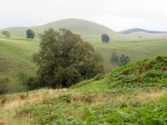
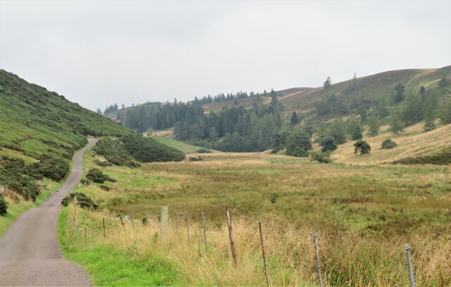
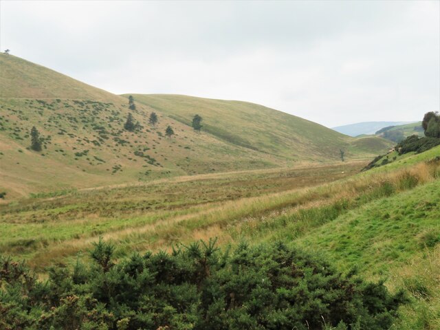
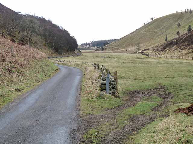
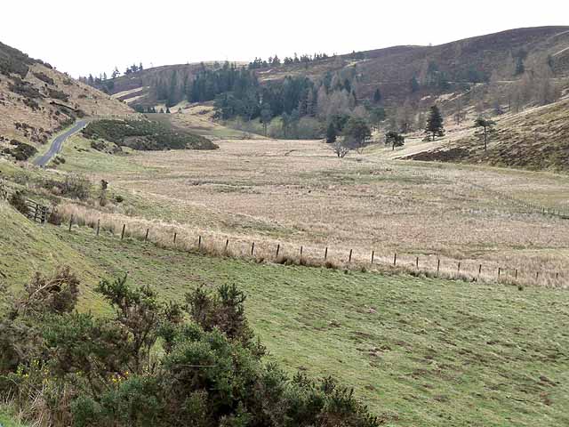
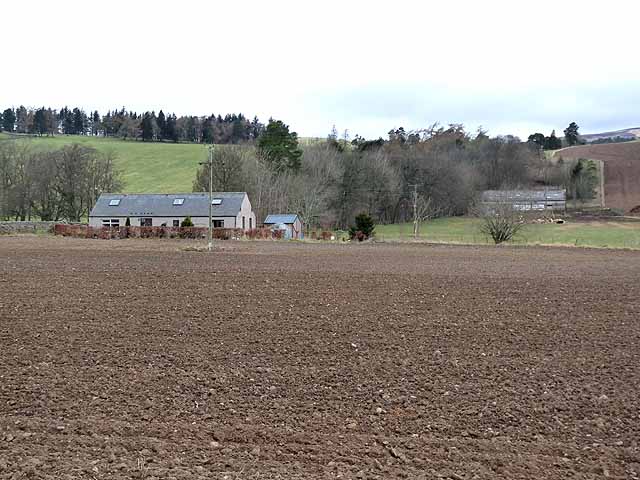
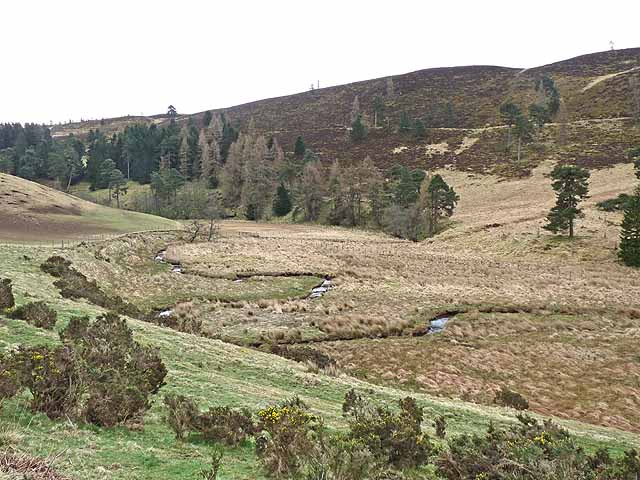
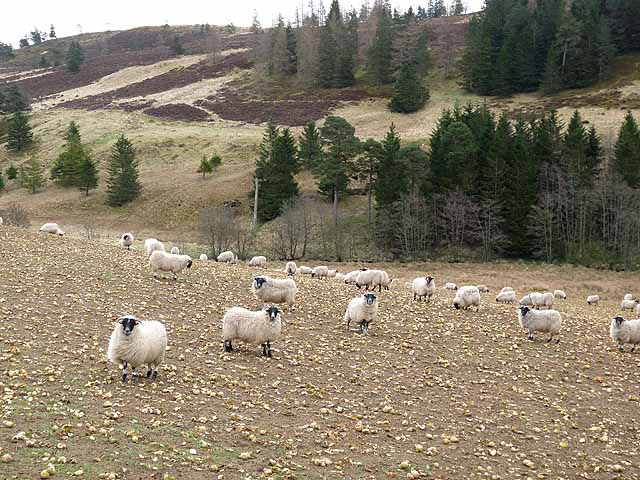
Covered in lush green vegetation and dotted with rocky outcrops, Landhead Hill is home to a variety of plant and animal species. The hill is part of the Angus Glens, a series of picturesque valleys and hills that are renowned for their scenic beauty and opportunities for outdoor recreation.

Visitors to Landhead Hill can explore a network of hiking trails that wind their way to the summit, where they can take in breathtaking views of the surrounding landscape. On a clear day, it is possible to see as far as the North Sea and the nearby town of Montrose.

Overall, Landhead Hill is a must-visit destination for nature lovers and outdoor adventurers looking to experience the rugged beauty of the Scottish countryside.

If you have any feedback on the listing, please let us know in the comments section below.

Landhead Hill Images

Images are sourced within 2km of 56.707707/-3.1096822 or Grid Reference NO3257. Thanks to Geograph Open Source API. All images are credited.

View from above Audallan This is interesting scenery. A steep sided valley with a small burn and flat floor. The valley runs along the base of the higher hills rather than away from them and gives one the impression that this must have been some sort of glacial meltwater channel.
View from above Audallan
This is interesting scenery. A steep sided valley with a small burn and flat floor. The valley runs along the base of the higher hills rather than away from them and gives one the impression that this must have been some sort of glacial meltwater channel.
A southward view near Audallan Interesting country, not quite highland and not quite lowland. There's grassland, moorland and forest around here and a curious number of mature trees scattered across the hillside. The rounded pudding shaped hill in the distance is Mile Hill at 410m.
A southward view near Audallan
Interesting country, not quite highland and not quite lowland. There's grassland, moorland and forest around here and a curious number of mature trees scattered across the hillside. The rounded pudding shaped hill in the distance is Mile Hill at 410m.
Valley of the Quharity Burn The minor road keeps to the slopes on the left of this flat bottomed valley where the little Quharity Burn meanders slowly along. This must be a misfit stream in an oversized valley, which in turn must have seen glacial action and may well have once held a lake.
Valley of the Quharity Burn
The minor road keeps to the slopes on the left of this flat bottomed valley where the little Quharity Burn meanders slowly along. This must be a misfit stream in an oversized valley, which in turn must have seen glacial action and may well have once held a lake.
Looking west along the valley towards Audallan The curious valley of the Quharity Burn, a very small stream in an impressive, steep sided valley which runs west to east along the base of the big hills instead of away from them. This bears all the hallmarks of a glacial spillway or overflow channel carved out at a time when the ice age was coming to an end.
Looking west along the valley towards Audallan
The curious valley of the Quharity Burn, a very small stream in an impressive, steep sided valley which runs west to east along the base of the big hills instead of away from them. This bears all the hallmarks of a glacial spillway or overflow channel carved out at a time when the ice age was coming to an end.
Sunny pastures at Gairlaw
Valley of the Quharity Burn This valley which runs along the foot of the Highlands to the north (left) gives the strong impression of having been a glacial overflow channel dating from the Ice Age. Mile Hill <a href="https://www.geograph.org.uk/gridref/NO3157">NO3157</a> with its top in cloud on the skyline.
Valley of the Quharity Burn
This valley which runs along the foot of the Highlands to the north (left) gives the strong impression of having been a glacial overflow channel dating from the Ice Age. Mile Hill NO3157 with its top in cloud on the skyline.
Auldallan and the valley of the Quharity Burn This valley which runs along the foot of the Highlands to the north (left) gives the strong impression of having been a glacial overflow channel dating from the Ice Age.
Auldallan and the valley of the Quharity Burn
This valley which runs along the foot of the Highlands to the north (left) gives the strong impression of having been a glacial overflow channel dating from the Ice Age.
The "High Road" at Auldallan The valley of the Quharity Burn which runs along the foot of the Highlands to the north (left) gives the strong impression of having been a glacial overflow channel dating from the Ice Age.
The "High Road" at Auldallan
The valley of the Quharity Burn which runs along the foot of the Highlands to the north (left) gives the strong impression of having been a glacial overflow channel dating from the Ice Age.
The "High Road" and the valley of the Quharity Burn The valley of the Quharity Burn which runs along the foot of the Highlands to the north (left) gives the strong impression of having been a glacial overflow channel dating from the Ice Age.
The "High Road" and the valley of the Quharity Burn
The valley of the Quharity Burn which runs along the foot of the Highlands to the north (left) gives the strong impression of having been a glacial overflow channel dating from the Ice Age.
The "High Road" and the valley of the Quharity Burn The valley of the Quharity Burn which runs along the foot of the Highlands to the north (right) gives the strong impression of having been a glacial overflow channel dating from the Ice Age.
The "High Road" and the valley of the Quharity Burn
The valley of the Quharity Burn which runs along the foot of the Highlands to the north (right) gives the strong impression of having been a glacial overflow channel dating from the Ice Age.
Aucharroch Farm
Aucharroch Farm
Meanders in the Quharity Burn The valley of the Quharity Burn which runs along the foot of the Highlands to the north (left) gives the strong impression of having been a glacial overflow channel dating from the Ice Age.
Meanders in the Quharity Burn
The valley of the Quharity Burn which runs along the foot of the Highlands to the north (left) gives the strong impression of having been a glacial overflow channel dating from the Ice Age.
Sheep folded on root crops In the valley of the Quharity Burn.
Sheep folded on root crops
In the valley of the Quharity Burn.
Minor road at Auldallan Looking eastward.
Minor road at Auldallan
Looking eastward.
Minor road between Auldallan and Turniemuick Looking south-eastward.
Minor road between Auldallan and Turniemuick
Looking south-eastward.
Minor road between Turniemuick and Auldallan Looking south-westward.
Minor road between Turniemuick and Auldallan
Looking south-westward.
Woodland by the Quharity Burn Looking south-easterly towards woodland lining the Quharity Burn.
Woodland by the Quharity Burn
Looking south-easterly towards woodland lining the Quharity Burn.
Valley of the Quharity Burn Looking westwards along the flat-bottomed valley of the Quharity Burn.
Valley of the Quharity Burn
Looking westwards along the flat-bottomed valley of the Quharity Burn.
Show me another place!

Landhead Hill is located at Grid Ref: NO3257 (Lat: 56.707707, Lng: -3.1096822)

Unitary Authority: Angus

Police Authority: Tayside

What 3 Words

///cascaded.lease.occurs. Near Kirriemuir, Angus

Related Wikis

Mile Hill (Marilyn)

Mile Hill is a hill in Angus, Scotland, lying about 2 miles north west of Kirkton of Kingoldrum and a similar distance north east of Bridgend of Lintrathen...

Ascreavie

Ascreavie is a country house in Angus, Scotland. It is located 2 kilometres (1.2 mi) north of Kirkton of Kingoldrum, and 6 kilometres (3.7 mi) north-west...

Cat Law

Cat Law (671 m) is a hill in the southern Mounth of Scotland, north of Kirriemuir in Angus. A rounded peak, it lies above Strathmore in the south and offers...

Kirkton of Kingoldrum

Kirkton of Kingoldrum is a village in Angus, Scotland. It lies in approximately four miles (6 km) west of Kirriemuir on the B951 road. == References ==

Have you been to Landhead Hill?

Leave your review of Landhead Hill below (or comments, questions and feedback).