Cefn Mynog
Hill, Mountain in Monmouthshire
Wales
Cefn Mynog

Cefn Mynog is a prominent hill located in Monmouthshire, Wales. It lies within the Brecon Beacons National Park, offering stunning views of the surrounding countryside. Standing at an elevation of approximately 450 meters (1,480 feet), it is considered a notable landmark in the area.
The hill is a popular destination for hikers and outdoor enthusiasts due to its accessibility and scenic beauty. It features well-defined footpaths that allow visitors to explore its slopes, making it suitable for people of various fitness levels. The trail to the summit is relatively straightforward, with a gradual incline and clear signage.
From the top of Cefn Mynog, one can enjoy panoramic vistas of the surrounding landscape, including the rolling hills and valleys of Monmouthshire. On a clear day, it is even possible to catch a glimpse of the Bristol Channel and the distant Welsh mountains.
The area around Cefn Mynog is rich in wildlife, providing opportunities for nature lovers to observe a variety of species. The hill is home to several bird species, including red kites, buzzards, and peregrine falcons. Additionally, the nearby woodlands and meadows offer habitats for a diverse range of flora and fauna.
Cefn Mynog is easily accessible by road, with ample parking available at the base of the hill. It is a popular destination for locals and tourists alike, offering a peaceful retreat and an opportunity to connect with nature in the heart of Monmouthshire.
If you have any feedback on the listing, please let us know in the comments section below.
Cefn Mynog Images
Images are sourced within 2km of 51.756952/-2.9914492 or Grid Reference SO3106. Thanks to Geograph Open Source API. All images are credited.


Cefn Mynog is located at Grid Ref: SO3106 (Lat: 51.756952, Lng: -2.9914492)
Unitary Authority: Monmouthshire
Police Authority: Gwent
What 3 Words
///forklift.stacks.profiled. Near Blaenavon, Torfaen
Nearby Locations
Related Wikis

Llanover
Llanover (; Welsh: Llanofer) Welsh pronunciation: [ɬaˈnɔvɛr] is a village in the community of Goetre Fawr in Monmouthshire, Wales. == Name == The name...

Llanvair railway station
Llanvair railway station served the village of Llanvair Discoed, in the historical county of Monmouthshire, Wales, in 1854 on the Newport, Abergavenny...
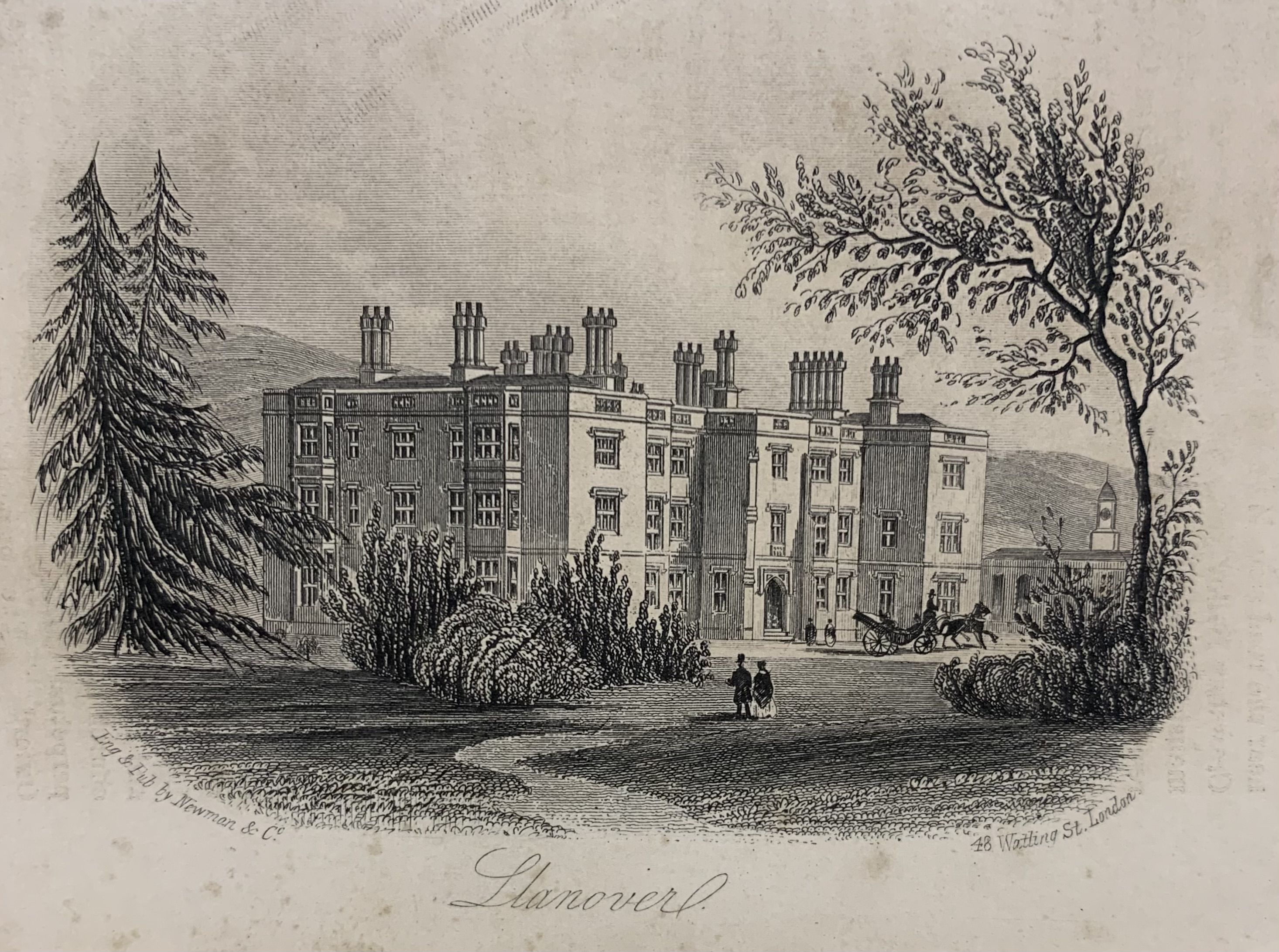
Llanover House
Llanover House, Llanover, Monmouthshire, Wales, was a country house dating from the mid-19th century. Commissioned by Augusta Waddington, and her husband...
Llanfair Grange
Llanfair Grange, Nant-y-derry, Monmouthshire is a country house dating from the 18th century. It was extensively remodelled in the early 19th century in...

Nantyderry railway station
Nantyderry railway station was a former station which served the Monmouthshire village of Nant-y-derry. It was located on the Welsh Marches Line between...
Nant-y-derry
Nant-y-derry (Welsh: Nant-y-deri) is a village in the county of Monmouthshire, Wales, located six miles south east of Abergavenny and four miles northwest...

Ty-Cooke Farmhouse, Mamhilad
Ty-Cooke Farmhouse, Mamhilad, Monmouthshire is a large farmhouse dating from 1710. The farmhouse forms a group with an earlier farmhouse, dating from circa...

Goytre (Monmouthshire)
Goytre (; Welsh: Goetre) is a village in the community of Goetre Fawr in Monmouthshire, south east Wales, United Kingdom. The population of the whole of...
Related Videos

Lunch time part 1 #travel #reels #vlog
Harley-Davidson ride to the Baffle haus for lunchtime travelling in summer enjoying life experiences.
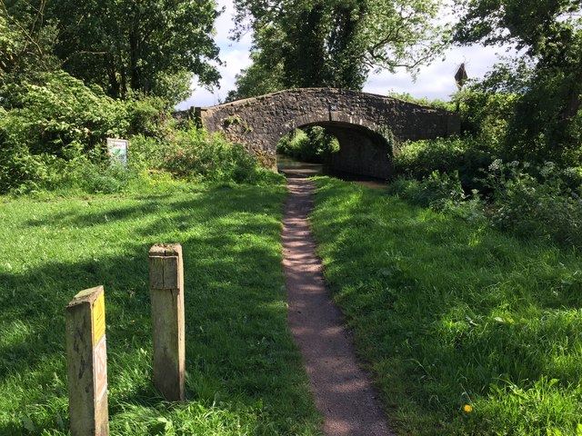
Goytre Wharf
A nice early morning walk Along the Canal at Goytre Wharf ,hope you enjoy feel free to share on your media webpage and ...

Lunch Part 2 #travel #reels #vlog #biker
Baffle haus lunchtime burgers and chips washed down with a diet coke Traveling south for a day living the dream before returning ...
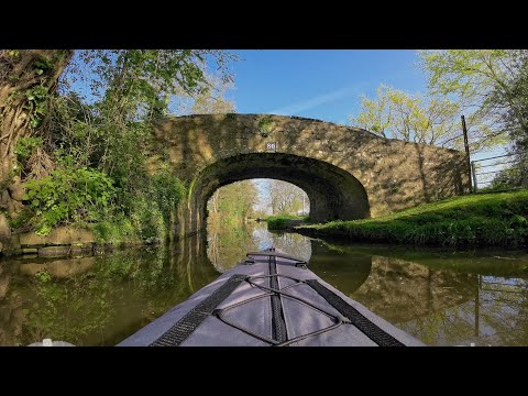
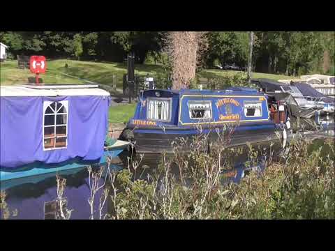
Kayaking from Goytre Wharf along the Brecon and Monmouthshire Canal
From Goytre Wharf, there are multiple miles of the Monmouthshire Canal to travel. if you get out early, it's very quiet and even ...
Nearby Amenities
Located within 500m of 51.756952,-2.9914492Have you been to Cefn Mynog?
Leave your review of Cefn Mynog below (or comments, questions and feedback).