Huntingfield

Settlement in Suffolk East Suffolk

England

Huntingfield

Cut Mark Heveningham St Margaret's Church Cut Mark Heveningham St Margaret's Church NW buttress.
Cut Mark Heveningham St Margaret's Church Credit: Cud05

Huntingfield is a small village located in the county of Suffolk, England. Situated approximately 4 miles south-east of the town of Halesworth, it is nestled amidst the picturesque countryside of East Anglia. The village is part of the East Suffolk district and falls under the jurisdiction of the Civil Parish of Huntingfield.

With a population of around 300 residents, Huntingfield is known for its tranquil and rural atmosphere, attracting those seeking a peaceful lifestyle away from the hustle and bustle of larger towns and cities. The village is characterized by its charming thatched-roof cottages, traditional red-brick houses, and beautiful gardens.

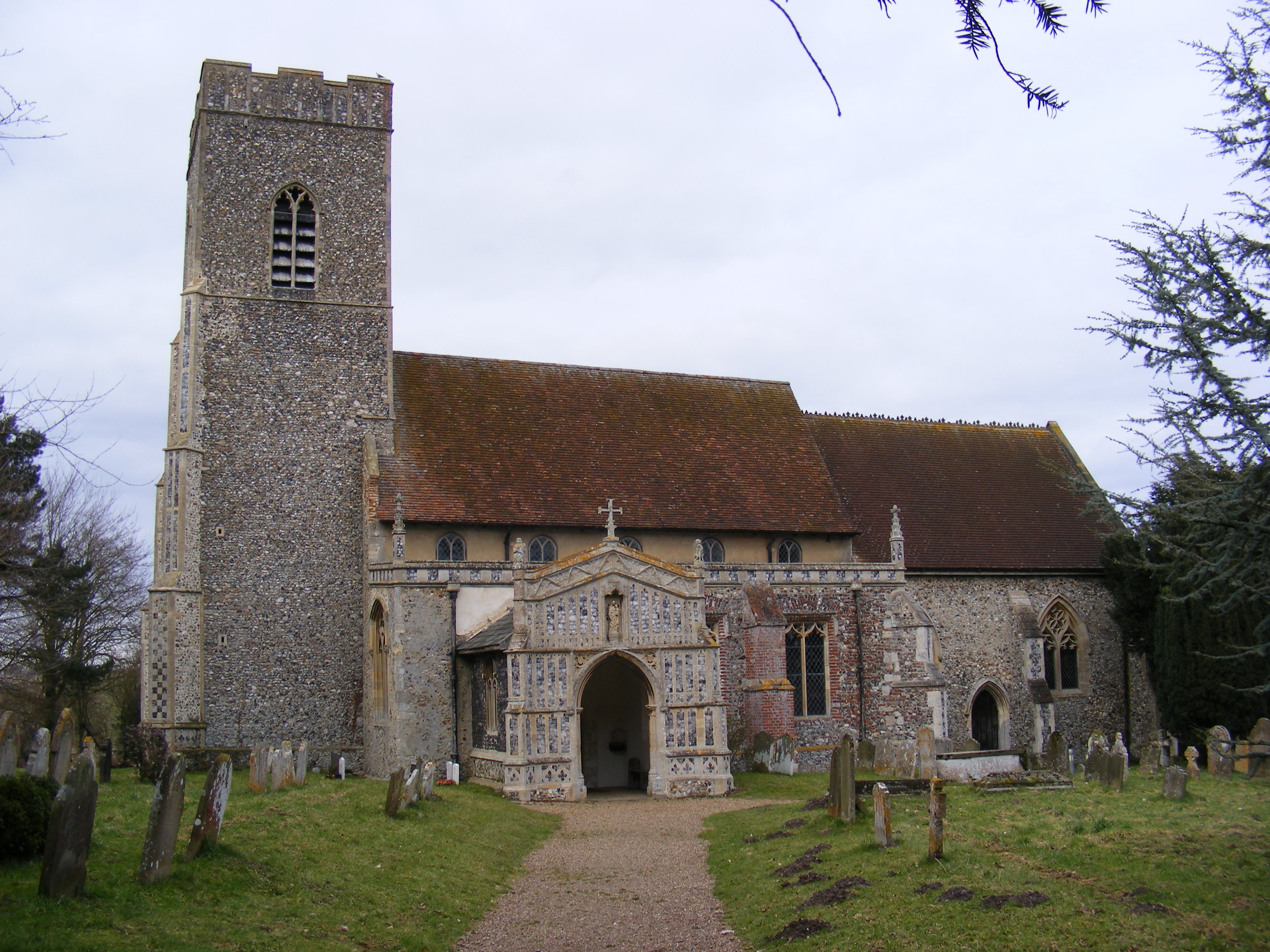
Huntingfield boasts a rich history, with evidence of human settlement dating back to ancient times. The village is home to the Grade I listed All Saints Church, a stunning medieval building that serves as a testament to the area's heritage. The church features a Norman font and a 15th-century painted rood screen, which are of significant historical and architectural importance.

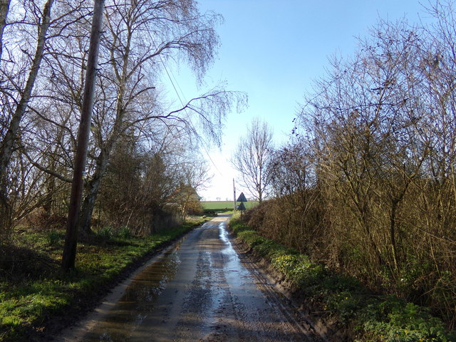
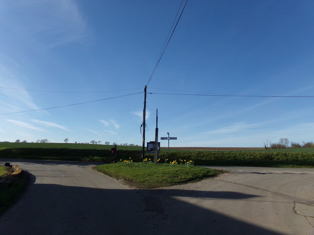
Despite its small size, Huntingfield offers a range of amenities to its residents. These include a village hall, a primary school, and a local pub that serves as a social hub for the community. The village is also surrounded by picturesque countryside, offering opportunities for outdoor activities such as walking, cycling, and exploring the nearby nature reserves.

Overall, Huntingfield, Suffolk, is a delightful village that exudes charm and tranquility. Its rich history, picturesque surroundings, and close-knit community make it an attractive place to call home for those seeking a peaceful and idyllic lifestyle.

If you have any feedback on the listing, please let us know in the comments section below.
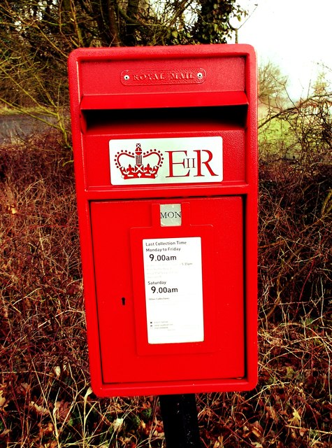
Huntingfield Images

Images are sourced within 2km of 52.312578/1.434719 or Grid Reference TM3473. Thanks to Geograph Open Source API. All images are credited.

Cut Mark Heveningham St Margaret's Church Cut Mark Heveningham St Margaret's Church NW buttress.
Cut Mark Heveningham St Margaret's Church
Cut Mark Heveningham St Margaret's Church NW buttress.
The Street, Heveningham Road No.U2717
The Street, Heveningham
Road No.U2717
Cut Mark Heveningham Village School Cut Mark Heveningham Village School NW face, N angle.
Cut Mark Heveningham Village School
Cut Mark Heveningham Village School NW face, N angle.
Heveningham Long Lane Heveningham Long Lane Junc.
Heveningham Long Lane
Heveningham Long Lane Junc.
Huntingfield Brick Kiln Lane Post Box Huntingfield Brick Kiln Lane Post Box.
Huntingfield Brick Kiln Lane Post Box
Huntingfield Brick Kiln Lane Post Box.
Cut Mark Huntingfield The Forge Cut Mark Huntingfield The Forge NW face.
Cut Mark Huntingfield The Forge
Cut Mark Huntingfield The Forge NW face.
Cut Mark Huntingfield St Marys Church Cut Mark Huntingfield St Marys Church NW angle of tower buttress.
Cut Mark Huntingfield St Marys Church
Cut Mark Huntingfield St Marys Church NW angle of tower buttress.
Cut Mark Cookley St Michaels Church Cut Mark Cookley St Michaels Church W angle of tower, SW face.
Cut Mark Cookley St Michaels Church
Cut Mark Cookley St Michaels Church W angle of tower, SW face.
Cookley Road, Cookley Looking towards the junction with Cookley Street
Road No.C218
Cookley Road, Cookley
Looking towards the junction with Cookley Street Road No.C218
Communication Cabinet off Cookley Road At the junction with Cookley Street
Communication Cabinet off Cookley Road
At the junction with Cookley Street
Cookley Road, Cookley At the junction with Cookley Street
Road No.C218
Cookley Road, Cookley
At the junction with Cookley Street Road No.C218
Cookley Road, Cookley At the junction with Cookley Street
Cookley Road, Cookley
At the junction with Cookley Street
Cookley Village sign On Cookley Road at the junction with Cookley Street
Cookley Village sign
On Cookley Road at the junction with Cookley Street
Cookley Village Notice Board & Signpost On Cookley Street at the junction with Cookley Road
<span class="nowrap"><a title="http://cookpolenews.onesuffolk.net/" rel="nofollow ugc noopener" href="http://cookpolenews.onesuffolk.net/">Link</a><img style="margin-left:2px;" alt="External link" title="External link - shift click to open in new window" src="https://s1.geograph.org.uk/img/external.png" width="10" height="10"/></span>
Cookley Village Notice Board & Signpost
On Cookley Street at the junction with Cookley Road LinkExternal link
Cookley Village Notice Board On Cookley Street at the junction with Cookley Road
(Close up)
<span class="nowrap"><a title="http://cookpolenews.onesuffolk.net/" rel="nofollow ugc noopener" href="http://cookpolenews.onesuffolk.net/">Link</a><img style="margin-left:2px;" alt="External link" title="External link - shift click to open in new window" src="https://s1.geograph.org.uk/img/external.png" width="10" height="10"/></span>
Cookley Village Notice Board
On Cookley Street at the junction with Cookley Road (Close up) LinkExternal link
Cookley Street, Cookley At the junction with Cookley Road
Road No.U2703
Cookley Street, Cookley
At the junction with Cookley Road Road No.U2703
Cookley Street & Cookley Corner Postbox At the junction with Cookley Road
Postbox No.IP19 5511
Cookley Street & Cookley Corner Postbox
At the junction with Cookley Road Postbox No.IP19 5511
Cookley Corner Postbox On Cookley Street at the junction with Cookley Road
Postbox No.IP19 5511
Cookley Corner Postbox
On Cookley Street at the junction with Cookley Road Postbox No.IP19 5511
Show me another place!

Huntingfield is located at Grid Ref: TM3473 (Lat: 52.312578, Lng: 1.434719)

Administrative County: Suffolk

District: East Suffolk

Police Authority: Suffolk

What 3 Words

///extensive.sailor.ethic. Near Cookley, Suffolk

Nearby Locations

Huntingfield

Related Wikis

Huntingfield, Suffolk

Huntingfield is a village near the B1117 road, in the East Suffolk district, in the county of Suffolk, England. The village is close to the source of the...
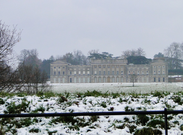
Heveningham Hall

Heveningham Hall is a Grade I listed building in Heveningham, Suffolk. The first house on the site was built for the politician and regicide William Heveningham...

Heveningham

Heveningham is a village and civil parish in the East Suffolk district of Suffolk in eastern England. Located four miles south-west of Halesworth, in 2005...

Cookley, Suffolk

Cookley is a small village and civil parish in the East Suffolk district, in the east of the county of Suffolk, England. Nearby settlements include the...

Nearby Amenities

Located within 500m of 52.312578,1.434719
The Arms
Naptan AtcoCode: 390060005
Naptan Bearing: N
Naptan BusStopType: CUS
Naptan CommonName: The Arms
Naptan Indicator: adj
Naptan Landmark: The Arms
Naptan NaptanCode: sufgmgtw
Naptan Street: The Street
Naptan Verified: no
Source: naptan_import
Lat/Long: 52.3130808/1.4339298
The Arms
Naptan AtcoCode: 390060006
Naptan Bearing: S
Naptan BusStopType: CUS
Naptan CommonName: The Arms
Naptan Indicator: opp
Naptan Landmark: The Arms
Naptan NaptanCode: sufgmgwa
Naptan Street: The Street
Naptan Verified: no
Source: naptan_import
Lat/Long: 52.3131231/1.4340211
Parking Space
Lat/Long: 52.3125382/1.4346954
The data included in this document is from www.openstreetmap.org. The data is made available under ODbL.

Have you been to Huntingfield?

Leave your review of Huntingfield below (or comments, questions and feedback).