Urishay Common
Hill, Mountain in Herefordshire
England
Urishay Common
The requested URL returned error: 429 Too Many Requests
If you have any feedback on the listing, please let us know in the comments section below.
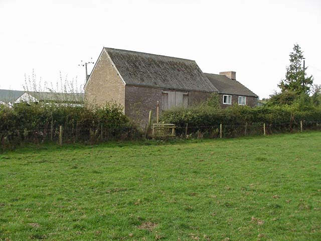
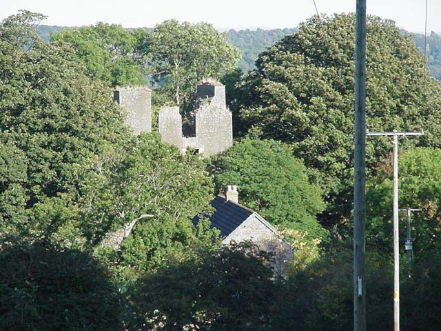
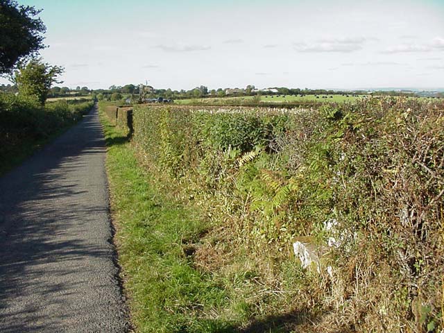
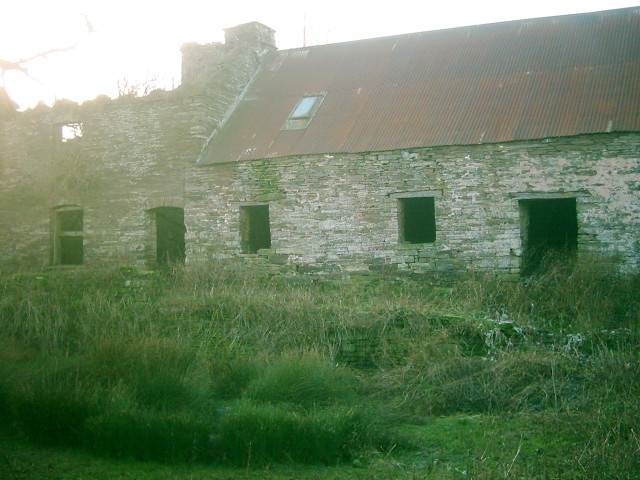
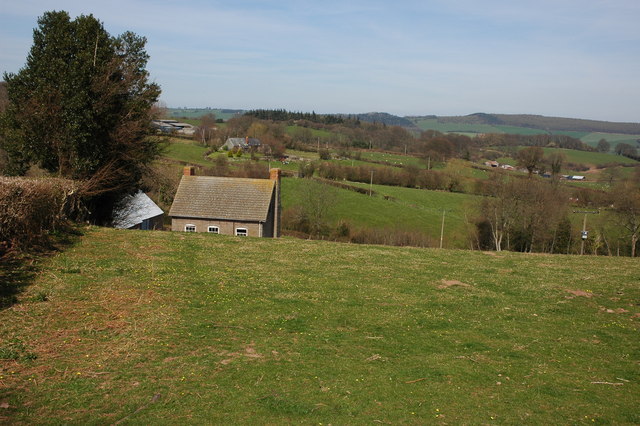
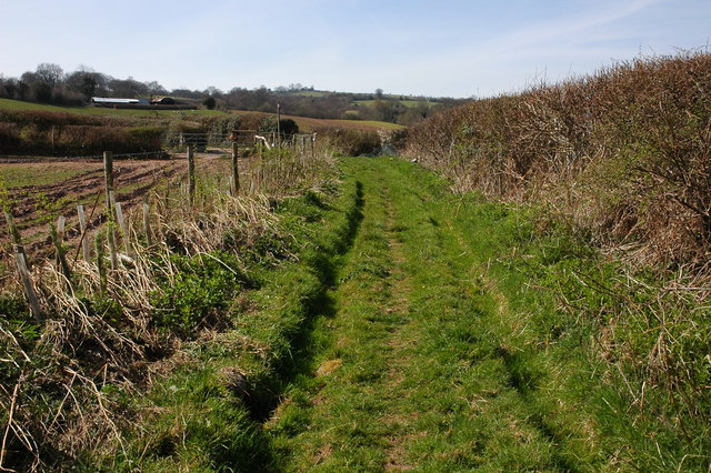
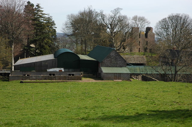
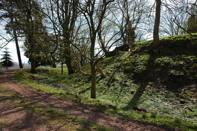
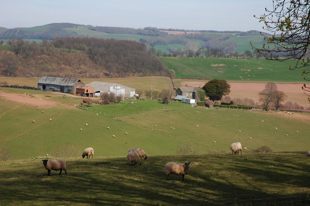
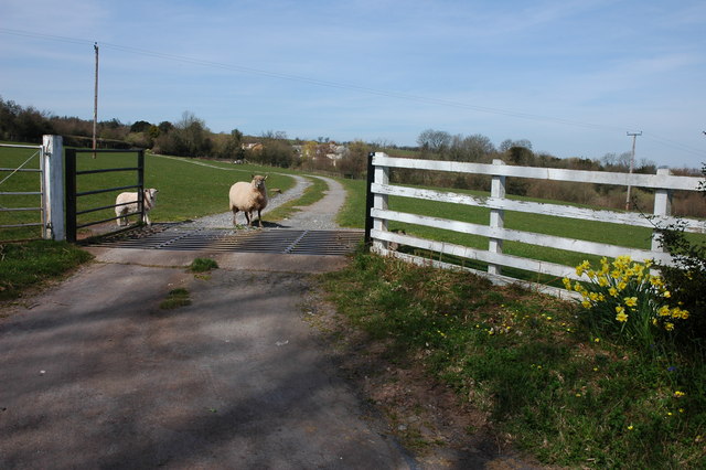
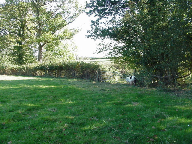
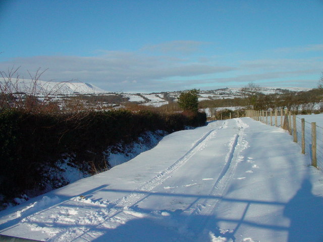
Urishay Common Images
Images are sourced within 2km of 52.028215/-3.005339 or Grid Reference SO3137. Thanks to Geograph Open Source API. All images are credited.


Urishay Common is located at Grid Ref: SO3137 (Lat: 52.028215, Lng: -3.005339)
Unitary Authority: County of Herefordshire
Police Authority: West Mercia
What 3 Words
///billiard.circus.crystals. Near Turnastone, Herefordshire
Nearby Locations
Related Wikis

Urishay Castle
Urishay constitutes the remains of a castle, 16th century chapel and 17th century house located about 2.5 km west of Peterchurch in Herefordshire, England...
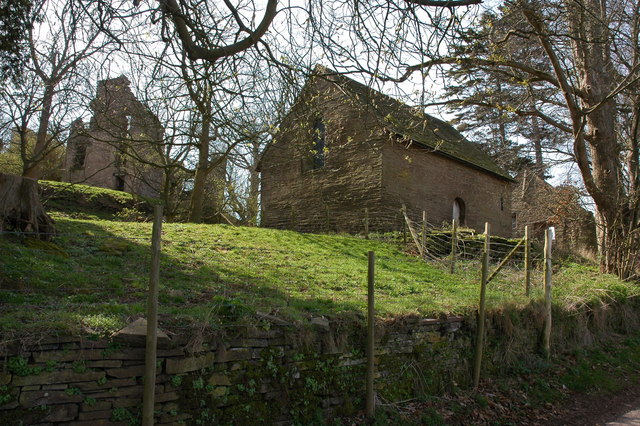
Urishay Castle Chapel
Urishay Castle Chapel is a redundant chapel to the north of Urishay Castle, some 2.5 kilometres (2 mi) west of the village of Peterchurch in Herefordshire...

Ewyas Lacy
Ewyas Lacy was an ancient hundred in south-west Herefordshire. It was part of the ancient Welsh region of Ewyas claimed by the de Lacy family following...

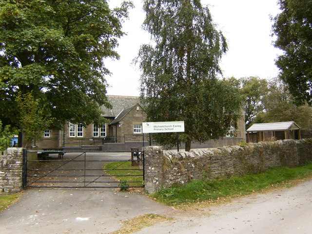
Michaelchurch Escley
Michaelchurch Escley is a village and civil parish 13 miles (21 km) west of Hereford, in the county of Herefordshire, England. In 2011 the parish had a...
Have you been to Urishay Common?
Leave your review of Urishay Common below (or comments, questions and feedback).