Cormaud

Hill, Mountain in Angus

Scotland

Cormaud

Glen Uig, Braes of Angus The overgrown sheep fank to the left of the picture shows how grouse moors have replaced sheep runs in this part of the Grampians.
Glen Uig, Braes of Angus Credit: Iain A Robertson

The requested URL returned error: 429 Too Many Requests

If you have any feedback on the listing, please let us know in the comments section below.
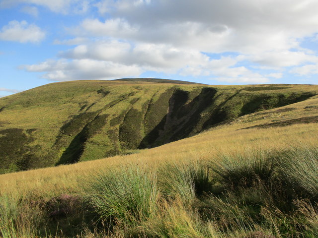
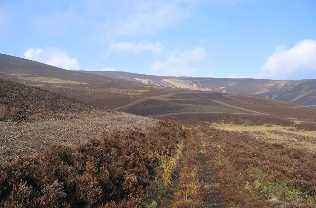
Cormaud Images

Images are sourced within 2km of 56.752064/-3.1354062 or Grid Reference NO3062. Thanks to Geograph Open Source API. All images are credited.

Glen Uig, Braes of Angus The overgrown sheep fank to the left of the picture shows how grouse moors have replaced sheep runs in this part of the Grampians.
Glen Uig, Braes of Angus
The overgrown sheep fank to the left of the picture shows how grouse moors have replaced sheep runs in this part of the Grampians.
Setting off from Wester Lednathie A Duke of Edinburgh expedition heads for the hills.
Setting off from Wester Lednathie
A Duke of Edinburgh expedition heads for the hills.
Hill track on Monthrey Part of an extensive network of hill tracks on these rolling heathery hills.
Hill track on Monthrey
Part of an extensive network of hill tracks on these rolling heathery hills.
Heughs of Machirn Heugh is a Scots word meaning either a steep bank or precipice, or a glen or ravine with steep overhanging sides.  In this case it seems to refer to the  small gullies carved into the hillside named Machirn.
Heughs of Machirn
Heugh is a Scots word meaning either a steep bank or precipice, or a glen or ravine with steep overhanging sides. In this case it seems to refer to the small gullies carved into the hillside named Machirn.
Corrie Burn, Cat Law A view from the track between Lerg Wood and Wester Lednathie.
Corrie Burn, Cat Law
A view from the track between Lerg Wood and Wester Lednathie.
The head of Glen Quharity Snow starts to fall near the pass between Glen Quharity and Glen Uig.
The head of Glen Quharity
Snow starts to fall near the pass between Glen Quharity and Glen Uig.
Adder leaving the track This adder crossed the track in front of me and disappeared into the heather
Adder leaving the track
This adder crossed the track in front of me and disappeared into the heather
Hill of Stanks Looking north from the ridge across Glen Dye
Hill of Stanks
Looking north from the ridge across Glen Dye
On Clinking Cauldron Clinking Cauldron is an interesting name for this unexceptional hill. Here an area of heather next to the path has been burnt to provide new growth for grouse.
On Clinking Cauldron
Clinking Cauldron is an interesting name for this unexceptional hill. Here an area of heather next to the path has been burnt to provide new growth for grouse.
Footpath in Glen Uig The sign indicates it is 1.9 miles to Glenuig, 3.2 miles to Easter Lednathie, 2.1 miles to Longdrum or 3.7 miles to Balintore.  This is grouse country and the ground is managed for the shooting with many larsen traps in the surrounding area.
Footpath in Glen Uig
The sign indicates it is 1.9 miles to Glenuig, 3.2 miles to Easter Lednathie, 2.1 miles to Longdrum or 3.7 miles to Balintore. This is grouse country and the ground is managed for the shooting with many larsen traps in the surrounding area.
Glen Uig Farmland in Glen Uig, with Glen Prosen in the background. Taken at about 300m above sealevel on the way up Cat Law.
Glen Uig
Farmland in Glen Uig, with Glen Prosen in the background. Taken at about 300m above sealevel on the way up Cat Law.
Monthrey Moorland above Glen Uig with clear views to the Ben Tirran plateau above Glen Clova to the North.
The track links Glen Prosen with the Lintrathen area.
Monthrey
Moorland above Glen Uig with clear views to the Ben Tirran plateau above Glen Clova to the North. The track links Glen Prosen with the Lintrathen area.
Boundary stone, Cat Law. Summits are often on boundaries between communities or land holdings.
Sometimes boundaries are marked with inscribed stones, and this is an example at the top of Cat Law (671m).
The summit is also marked by fences. Three holdings meet here.
Boundary stone, Cat Law.
Summits are often on boundaries between communities or land holdings. Sometimes boundaries are marked with inscribed stones, and this is an example at the top of Cat Law (671m). The summit is also marked by fences. Three holdings meet here.
Glen Uig A narrow section of Glen Uig below Corwharn. The burn is very small for such an imposing glen. The glen was probably deepened by meltwater in the iceage, or an alternative outflow to an ice dammed lake.
Glen Uig
A narrow section of Glen Uig below Corwharn. The burn is very small for such an imposing glen. The glen was probably deepened by meltwater in the iceage, or an alternative outflow to an ice dammed lake.
View along Glack of Corraich Looking down into Glen Uig
View along Glack of Corraich
Looking down into Glen Uig
On Cormaud The track lead on to Monthrey. Beyond is Cat Law.
On Cormaud
The track lead on to Monthrey. Beyond is Cat Law.
On Bodandere Hill The track round Bodandere Hill before heading towards Craig Marloch. Although none of these hills are dramatic, this area provides easy walking with good views all round.
On Bodandere Hill
The track round Bodandere Hill before heading towards Craig Marloch. Although none of these hills are dramatic, this area provides easy walking with good views all round.
Sheep, Glenuig Glen floor grazing, Glen Uig.
Sheep, Glenuig
Glen floor grazing, Glen Uig.
Show me another place!

Cormaud is located at Grid Ref: NO3062 (Lat: 56.752064, Lng: -3.1354062)

Unitary Authority: Angus

Police Authority: Tayside

What 3 Words

///available.chimp.guard. Near Kirriemuir, Angus

Nearby Locations

Cormaud

Related Wikis

Cat Law

Cat Law (671 m) is a hill in the southern Mounth of Scotland, north of Kirriemuir in Angus. A rounded peak, it lies above Strathmore in the south and offers...

Balintore Castle

Balintore Castle is a Victorian Category A listed building in Scotland. The castle occupies an elevated site in moorland above Balintore village, a few...

Balintore, Angus

Balintore (Scottish Gaelic: Baile an Todhair) is a village in Angus, Scotland. It lies in Glen Isla, four miles north of the Loch of Lintrathen and seven...

Ascreavie

Ascreavie is a country house in Angus, Scotland. It is located 2 kilometres (1.2 mi) north of Kirkton of Kingoldrum, and 6 kilometres (3.7 mi) north-west...

Nearby Amenities

Located within 500m of 56.752064,-3.1354062
Cormaud
Ele: 506
Name Gd: Coire Madaidh
Natural: peak
Lat/Long: 56.7520175/-3.1369349
The data included in this document is from www.openstreetmap.org. The data is made available under ODbL.

Have you been to Cormaud?

Leave your review of Cormaud below (or comments, questions and feedback).