Bowhouse Hill

Hill, Mountain in Angus

Scotland

Bowhouse Hill

Farmland at Kirkton of Lundie
Farmland at Kirkton of Lundie Credit: Douglas Nelson

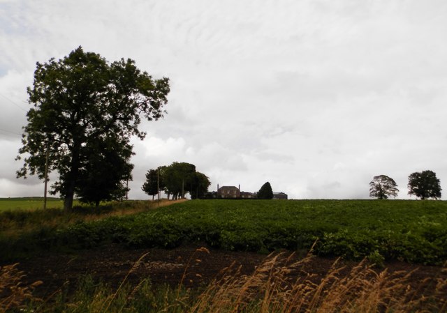
Bowhouse Hill, located in Angus, Scotland, is a prominent hill that boasts stunning natural beauty and historical significance. With an elevation of approximately 174 meters (570 feet), it is not classified as a mountain but is often referred to as such due to its significant presence in the surrounding landscape.

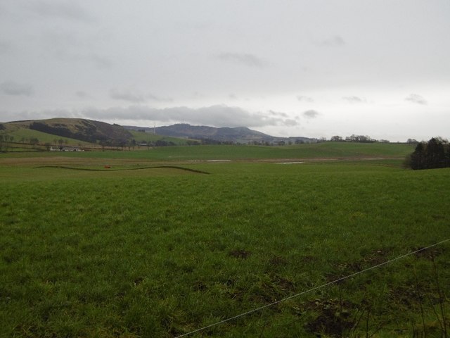
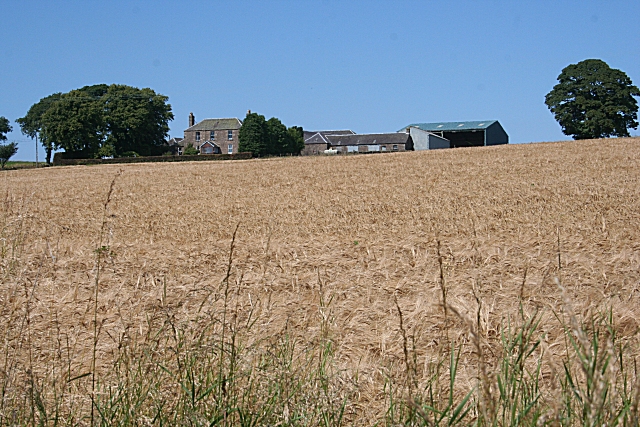
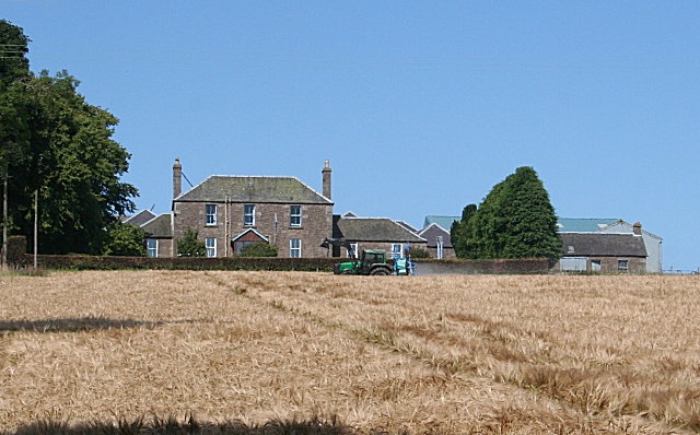
Situated near the village of Inverkeilor, Bowhouse Hill offers breathtaking panoramic views of the surrounding area, including the nearby North Sea coastline and the rolling hills of Angus. Its position on the eastern coast of Scotland allows visitors to witness stunning sunrises and sunsets, creating a picturesque setting for photography enthusiasts.

This hill has a rich historical background, and evidence of Iron Age settlements and ancient burial mounds have been discovered in the area. Its strategic location near the coast made it an important vantage point during various periods in history, including the Roman occupation of Scotland.

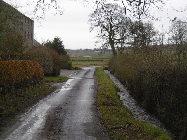
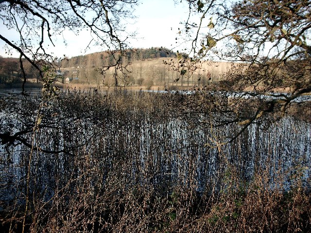
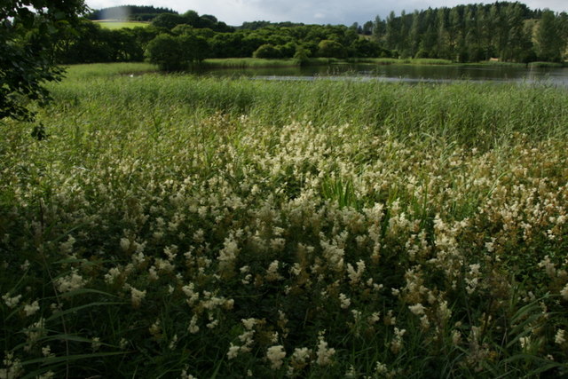
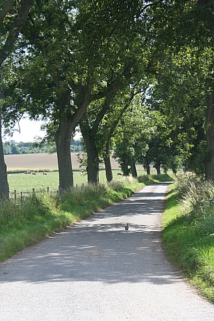
Bowhouse Hill is a popular destination for hikers and nature lovers, with several well-marked trails that wind their way through its gentle slopes. The hill is known for its diverse flora and fauna, providing a habitat for various bird species, wildflowers, and woodland creatures.

Whether it is for a leisurely walk, a challenging hike, or simply to enjoy the serene beauty of the Scottish countryside, Bowhouse Hill offers a memorable experience for visitors of all ages. Its combination of natural splendor and historical significance makes it a must-visit destination in the Angus region.

If you have any feedback on the listing, please let us know in the comments section below.

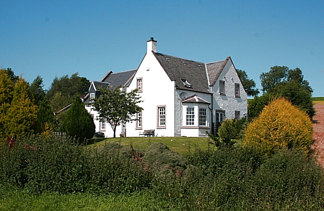
Bowhouse Hill Images

Images are sourced within 2km of 56.523669/-3.1287269 or Grid Reference NO3037. Thanks to Geograph Open Source API. All images are credited.

Farmland at Kirkton of Lundie
Field near Ledyatt View towards Craigowl.
Field near Ledyatt
View towards Craigowl.
Lundie Road out of Lundie.
Lundie
Road out of Lundie.
View towards Wester Keith Looking from the flank of the hillside beneath Lundie Craigs towards farm buildings at Wester Keith.
View towards Wester Keith
Looking from the flank of the hillside beneath Lundie Craigs towards farm buildings at Wester Keith.
Pitlyal The small loch is also known as Round Loch
Pitlyal
The small loch is also known as Round Loch
Lundie Houses at Lundie in bright winter sunshine
Lundie
Houses at Lundie in bright winter sunshine
Track from Kirkton of Lundie to main road. Though marked as a path on the OS map, this is part of the track from Kirkton of Lundie to the main road. Picture taken just south of the left trending fork to Easter Keith.
Track from Kirkton of Lundie to main road.
Though marked as a path on the OS map, this is part of the track from Kirkton of Lundie to the main road. Picture taken just south of the left trending fork to Easter Keith.
Lundie Loch Now fully visible from Lundie Craigs, the plantation having been felled. Dundee in the distance.
Lundie Loch
Now fully visible from Lundie Craigs, the plantation having been felled. Dundee in the distance.
Farmland, Wester Keith Fields at the foot of the steep Lundie Craigs escarpment in the Sidlaw Hills.
Farmland, Wester Keith
Fields at the foot of the steep Lundie Craigs escarpment in the Sidlaw Hills.
Pitlyal or the Round Loch, near Auchterhouse
Pitlyal or the Round Loch, near Auchterhouse With abundant Meadowsweet growing in the foreground.
Pitlyal or the Round Loch, near Auchterhouse
With abundant Meadowsweet growing in the foreground.
Kirkton of Lundie Farm The farm is about a quarter of a mile from the kirkton itself, on rising ground with an open view to the south.
Kirkton of Lundie Farm
The farm is about a quarter of a mile from the kirkton itself, on rising ground with an open view to the south.
Kirkton of Lundie Farm House The house has a Georgian look about it, though the later addition of a porch doesn't quite fit in. A tractor is busy spraying the barley in the foreground field.
Kirkton of Lundie Farm House
The house has a Georgian look about it, though the later addition of a porch doesn't quite fit in. A tractor is busy spraying the barley in the foreground field.
Lundie Parish Kirk The kirk has been much altered, most significantly by the addition of the Duncan Mausoleum, which is the unusual domed extension on the right. It is a category A listed building. See <span class="nowrap"><a title="http://hsewsf.sedsh.gov.uk/hslive/hsstart?P_HBNUM=13090" rel="nofollow ugc noopener" href="http://hsewsf.sedsh.gov.uk/hslive/hsstart?P_HBNUM=13090">Link</a><img style="margin-left:2px;" alt="External link" title="External link - shift click to open in new window" src="https://s1.geograph.org.uk/img/external.png" width="10" height="10"/></span> for full details. Sir William Duncan was physician to King George II, and was created a baronet in 1764. Hi widow, Lady Mary Tufton, erected the mausoleum after his death in 1769.
Lundie Parish Kirk
The kirk has been much altered, most significantly by the addition of the Duncan Mausoleum, which is the unusual domed extension on the right. It is a category A listed building. See LinkExternal link for full details. Sir William Duncan was physician to King George II, and was created a baronet in 1764. Hi widow, Lady Mary Tufton, erected the mausoleum after his death in 1769.
Country Avenue The road to the A923 junction at Easter Ledyatt is lined with mature trees, providing welcome shade on a hot day. Note the partridge scurrying away in the middle of the road.
Country Avenue
The road to the A923 junction at Easter Ledyatt is lined with mature trees, providing welcome shade on a hot day. Note the partridge scurrying away in the middle of the road.
Whitewashed House This house stands a little apart on the eastern edge of the tiny kirkton of Lundie. It is quite difficult to photograph because there is a large fuel tank in the middle of the garden; but from this angle the tank is hidden by the shrubs by the roadside.
Whitewashed House
This house stands a little apart on the eastern edge of the tiny kirkton of Lundie. It is quite difficult to photograph because there is a large fuel tank in the middle of the garden; but from this angle the tank is hidden by the shrubs by the roadside.
Converted Building This may or may not be a former mill, but it has been converted and modernised for other uses.
Converted Building
This may or may not be a former mill, but it has been converted and modernised for other uses.
Lundie Parish Kirk It is believed that the present church has Norman origins.
Lundie Parish Kirk
It is believed that the present church has Norman origins.
Show me another place!

Bowhouse Hill is located at Grid Ref: NO3037 (Lat: 56.523669, Lng: -3.1287269)

Unitary Authority: Angus

Police Authority: Tayside

What 3 Words

///campers.profile.workroom. Near Muirhead, Angus

Nearby Locations

Bowhouse Hill

Related Wikis

Pitlyal Loch

Pitlyal Loch also known as Round Loch is a small lochan in Sidlaw Hills in Angus. It is located southeast of Long Loch and is almost directly south of...

Lundie Kirk

Lundie Kirk was the parish church of Lundie, Angus, in Scotland from the 12th century until 2017. The church was constructed in Romanesque style in the...

Lundie

Lundie is a parish and small settlement in Angus, Scotland, 10 miles (16 km) northwest of Dundee, situated at the head of the Dighty valley in the Sidlaws...

Long Loch (Angus)

Long Loch is a small lowland freshwater loch within the Sidlaw Hills in Angus. It is 1.8 miles south of the village of Newtyle, three miles east-south...

Auchterhouse

Auchterhouse is a village, community, and civil parish in the Scottish council area of Angus, located 7.3 miles (11.7 km) north west of Dundee, 9.5 miles...

Lundie Craigs

Lundie Craigs/Westerkeith Hill is one of the hills of the Sidlaw range in South East Perthshire.Lundie Craigs/Westerkeith Hill is located near Coupar Angus...

Auchterhouse railway station

Auchterhouse railway station served the village of Auchterhouse in the Scottish county of Angus. Services were provided by the Dundee and Newtyle Railway...

Newtyle Hill

Newtyle Hill is a mountainous landform in the Sidlaw Hills in Angus, Scotland The vicinity has elements of prehistory including presence of the Eassie...

Nearby Amenities

Located within 500m of 56.523669,-3.1287269
Bowhouse Hill
Ele: 265
Natural: peak
Lat/Long: 56.5234093/-3.1296744
The data included in this document is from www.openstreetmap.org. The data is made available under ODbL.

Have you been to Bowhouse Hill?

Leave your review of Bowhouse Hill below (or comments, questions and feedback).