Brampton Scar
Hill, Mountain in Herefordshire
England
Brampton Scar

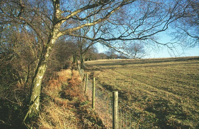
Brampton Scar is a prominent hill located in the county of Herefordshire, England. Standing at an elevation of approximately 500 meters, it forms part of the stunning landscape of the Malvern Hills Area of Outstanding Natural Beauty. This ancient hill offers breathtaking panoramic views of the surrounding countryside and is a popular destination for nature enthusiasts and hikers.
The hill is characterized by its distinct rocky outcrops and rugged terrain, which are a result of geological processes that have occurred over millions of years. Brampton Scar is composed of a variety of rock types, including quartzite and limestone, which contribute to its unique appearance.
The hill is home to a diverse range of flora and fauna, including several rare species that thrive in its natural habitat. Visitors to Brampton Scar can expect to encounter wildflowers, such as orchids and bluebells, as well as various bird species, butterflies, and small mammals.
There are several walking trails that traverse Brampton Scar, allowing visitors to explore its beauty at their own pace. These paths cater to different levels of difficulty, making the hill accessible to both experienced hikers and casual walkers.
Brampton Scar also holds historical significance, with evidence of Iron Age hillforts and ancient settlements in the surrounding area. These remnants serve as a reminder of the hill's rich cultural heritage and provide an intriguing glimpse into the lives of past civilizations.
Overall, Brampton Scar is a captivating natural landmark that offers a blend of scenic beauty, biodiversity, and historical importance. Its majestic presence and diverse ecosystem make it a must-visit destination for anyone seeking an immersive experience in Herefordshire's natural wonders.
If you have any feedback on the listing, please let us know in the comments section below.
Brampton Scar Images
Images are sourced within 2km of 52.238641/-3.0174108 or Grid Reference SO3060. Thanks to Geograph Open Source API. All images are credited.


Brampton Scar is located at Grid Ref: SO3060 (Lat: 52.238641, Lng: -3.0174108)
Unitary Authority: County of Herefordshire
Police Authority: West Mercia
What 3 Words
///iceberg.sneezing.agent. Near Presteigne, Powys
Nearby Locations
Related Wikis

Knill
Knill is a village and civil parish in Herefordshire, England. == History == Recorded in the Domesday Book of 1086 as Chenille (from the Old English meaning...
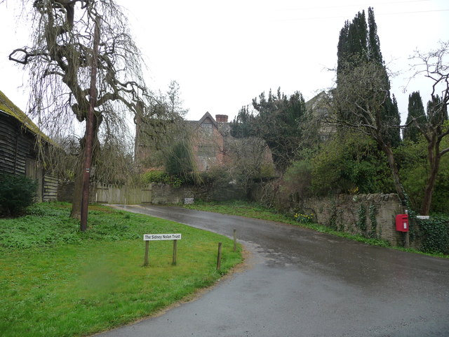
Rodd, Nash and Little Brampton
Rodd, Nash and Little Brampton is a civil parish in the county of Herefordshire, England, and is 18 miles (29 km) north-west from the city and county town...

Titley Pool
Titley Pool is a lake in Herefordshire, England. It is situated at Titley, 3 kilometres (1.9 mi) north west of the town of Kington. It is a naturally...

Burfa Castle
Burfa Castle (also known as Burfa Hillfort, Burfa Bank Hillfort, or Burfa Camp) is an Iron Age hillfort near the tiny town of Old Radnor, Radnorshire in...
Rushock, Herefordshire
Rushock is a small village in Herefordshire, England. It lies about 1 mile north-east of Kington. The population of the civil parish was 131 at the 2011...
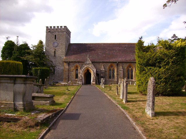
Titley, Herefordshire
Titley is a village and civil parish in Herefordshire, England. It lies on the B4355 between Kington and Presteigne. In the 2001 census the parish had...
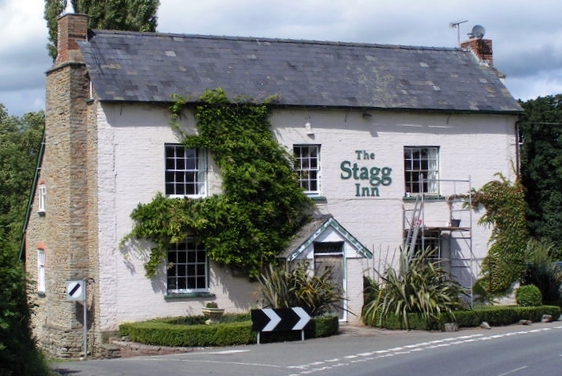
The Stagg Inn
The Stagg Inn is a restaurant located in Titley, Herefordshire, England. As of 2015, the restaurant holds one star in the Michelin Guide. The Stagg was...
Titley Priory
Titley Priory was a priory near Titley in Herefordshire, England at grid reference SO32966011. == References ==
Nearby Amenities
Located within 500m of 52.238641,-3.0174108Have you been to Brampton Scar?
Leave your review of Brampton Scar below (or comments, questions and feedback).