Cuinin Hill

Hill, Mountain in Fife

Scotland

Cuinin Hill

Star of Markinch, Fife A small village with a crooked layout as it evolved from a series of old farm steadings into a settlement.
Star of Markinch, Fife Credit: Kevin Rae

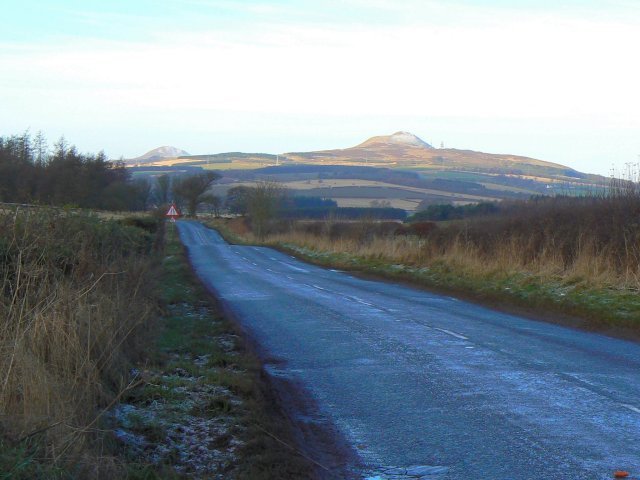
Cuinin Hill is a prominent hill located in Fife, Scotland. Situated in the rural area of the region, it is part of the picturesque countryside of Fife. The hill stands at an elevation of approximately 230 meters (750 feet) above sea level, offering stunning panoramic views of the surrounding landscape.

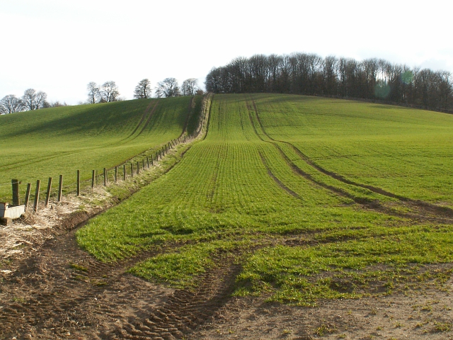
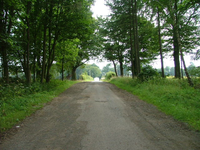
Cuinin Hill is known for its distinctive shape, characterized by its gently sloping sides and a rounded summit. It is primarily covered with grassy vegetation, with scattered patches of shrubs and trees. The hill's slopes are relatively moderate, making it accessible for hikers and outdoor enthusiasts of all skill levels.

The hill is a haven for nature lovers and wildlife enthusiasts, as it is home to a diverse range of flora and fauna. In the spring and summer months, the hillside comes alive with vibrant wildflowers, creating a colorful and picturesque scene. Visitors may also spot various bird species, such as buzzards and kestrels, soaring overhead.

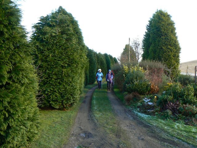
Cuinin Hill offers several walking trails and paths, making it a popular destination for outdoor activities. These trails cater to different abilities, providing options for both leisurely strolls and more challenging hikes. Along the way, visitors can enjoy the tranquility of the countryside and take in the breathtaking views of the surrounding farmland and distant hills.

Overall, Cuinin Hill in Fife is a scenic and accessible natural landmark, offering visitors the opportunity to immerse themselves in the beauty of the Scottish countryside and enjoy a range of outdoor activities.

If you have any feedback on the listing, please let us know in the comments section below.
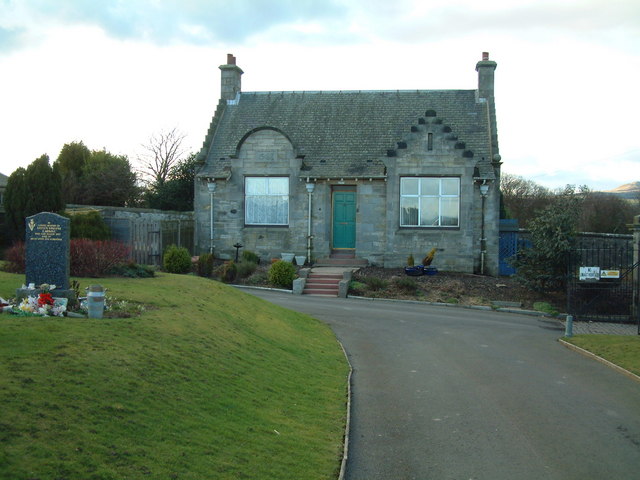
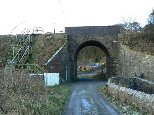
Cuinin Hill Images

Images are sourced within 2km of 56.211103/-3.1210878 or Grid Reference NO3002. Thanks to Geograph Open Source API. All images are credited.

Star of Markinch, Fife A small village with a crooked layout as it evolved from a series of old farm steadings into a settlement.
Star of Markinch, Fife
A small village with a crooked layout as it evolved from a series of old farm steadings into a settlement.
Cemetery gatehouse The gatehouse in Markinch Cemetery
Cemetery gatehouse
The gatehouse in Markinch Cemetery
Star Fields by Star with new housing being built at the western edge of the village.
Star
Fields by Star with new housing being built at the western edge of the village.
Path to Markinch by Star The path to Markinch runs to the left of the fence line straight over this small rise to Markinch just over and down the other side. Fields starting to grow green in the warm Spring sunshine.
Path to Markinch by Star
The path to Markinch runs to the left of the fence line straight over this small rise to Markinch just over and down the other side. Fields starting to grow green in the warm Spring sunshine.
Path to Star looking down from the highground and along the line of the Star to Markinch path.
Path to Star
looking down from the highground and along the line of the Star to Markinch path.
Farmland by Broomfield Broomfield farm lies just to the west of Star.
Farmland by Broomfield
Broomfield farm lies just to the west of Star.
By Dalginch Looking south along a field line by Dalginch.
By Dalginch
Looking south along a field line by Dalginch.
Solid arch A substantially constructed bridge carrying the Markinch to Perth railway over a very minor road, near Northhall.
Solid arch
A substantially constructed bridge carrying the Markinch to Perth railway over a very minor road, near Northhall.
Cypress avenue An avenue lined by cypresses near North Lodge, between Markinch and Star.
Cypress avenue
An avenue lined by cypresses near North Lodge, between Markinch and Star.
Icy road The tops of the Lomond Hills were catching the early sun but this stretch of minor road was still in shadow and frozen.
Icy road
The tops of the Lomond Hills were catching the early sun but this stretch of minor road was still in shadow and frozen.
Star dwellings Cottages in the village known as Star of Markinch.
Star dwellings
Cottages in the village known as Star of Markinch.
Forlorn looking farm A derelict farm building in the village of Star of Markinch.
Forlorn looking farm
A derelict farm building in the village of Star of Markinch.
No pies today A group of walkers on a cold morning at the small pavilion beside Star Hearts Amateur Football Club ground. Sadly, Shane's Shack Pie Shop was closed!
No pies today
A group of walkers on a cold morning at the small pavilion beside Star Hearts Amateur Football Club ground. Sadly, Shane's Shack Pie Shop was closed!
Rob's How Isolated cottages between Markinch and Star, with the snow-dusted Lomond Hills in the background.
Rob's How
Isolated cottages between Markinch and Star, with the snow-dusted Lomond Hills in the background.
The Plough at Star Pub/restaurant in the hamlet of Star, outside Markinch.
The Plough at Star
Pub/restaurant in the hamlet of Star, outside Markinch.
Stubble and bales near Star
Road to Treaton After reaching Treaton, there is a path that leads to the village of Milton of Balgonie.
Road to Treaton
After reaching Treaton, there is a path that leads to the village of Milton of Balgonie.
Rob's How Seen from the corner of the oddly-named street, Clyde View.
Rob's How
Seen from the corner of the oddly-named street, Clyde View.
Show me another place!

Cuinin Hill is located at Grid Ref: NO3002 (Lat: 56.211103, Lng: -3.1210878)

Unitary Authority: Fife

Police Authority: Fife

What 3 Words

///warblers.stumble.shark. Near Markinch, Fife

Related Wikis

Kennoway Star Hearts F.C.

Kennoway Star Hearts Football Club are a football club from the village of Star near Kennoway in Fife, Scotland. Currently competing in the East of Scotland...

Star, Fife

Star, also known as Star of Markinch (and historically as Star of Brunton or Star of Dalginch)), is a small village in Fife, Scotland. The name of Star...

Markinch

Markinch (, (Scottish Gaelic: Marc Innis) is both a village and a parish in the heart of Fife, Scotland. According to an estimate taken in 2008, the village...

Markinch railway station

Markinch railway station is a railway station in Markinch, Fife, Scotland, which serves the Glenrothes, Leslie and Levenmouth areas of Fife. The station...

Kingdom FM

Kingdom FM is an Independent Local Radio station serving Fife. It is owned and operated by DC Thomson Media and broadcasts from studios at Elizabeth House...
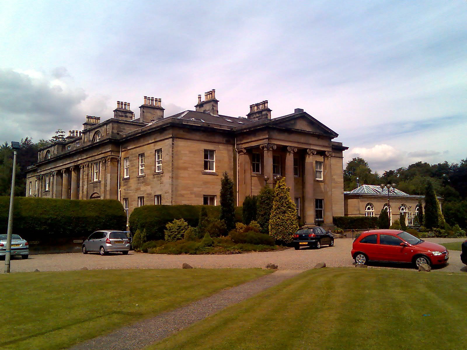
Balbirnie House

Balbirnie House is an early 19th-century country house in Glenrothes, in central Fife, Scotland. The present house was completed in 1817 as a rebuild of...

Balbirnie Stone Circle

Balbirnie Stone Circle is an archaeological site, a stone circle on the north-eastern edge of Glenrothes, in Fife, Scotland. The site was in use from the...
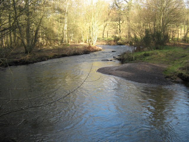
River Leven, Fife

The River Leven (Scottish Gaelic: Lìobhann / Abhainn Lìobhann) is a river in Fife, Scotland. It flows from Loch Leven into the Firth of Forth at the town...

Nearby Amenities

Located within 500m of 56.211103,-3.1210878
Cuinin Hill
Ele: 137
Natural: peak
Source: OS 1:25k 1st series
Lat/Long: 56.2116022/-3.1214898
Power: pole
Lat/Long: 56.206901/-3.1202087
Power: pole
Lat/Long: 56.2078098/-3.1203684
Material: wood
Power: pole
Lat/Long: 56.2119887/-3.1149675
Material: wood
Power: pole
Lat/Long: 56.213884/-3.1160285
Material: wood
Power: pole
Lat/Long: 56.2132125/-3.116641
Material: wood
Power: pole
Lat/Long: 56.2125495/-3.1172338
Material: wood
Power: pole
Lat/Long: 56.2118744/-3.1178222
Material: wood
Power: pole
Lat/Long: 56.2112102/-3.1184128
Material: wood
Power: pole
Lat/Long: 56.2105581/-3.1189969
Power: pole
Lat/Long: 56.210142/-3.1193753
Power: pole
Lat/Long: 56.2100228/-3.1194737
Power: pole
Lat/Long: 56.2099425/-3.1202
Power: pole
Lat/Long: 56.2097357/-3.1210946
Power: pole
Lat/Long: 56.2095131/-3.1219543
Material: wood
Power: pole
Lat/Long: 56.2099024/-3.1232034
Material: wood
Power: pole
Lat/Long: 56.2102722/-3.124424
Material: wood
Power: pole
Lat/Long: 56.2106554/-3.1256949
Material: wood
Power: pole
Lat/Long: 56.2110204/-3.1269505
Material: wood
Power: pole
Lat/Long: 56.2113987/-3.128217
The data included in this document is from www.openstreetmap.org. The data is made available under ODbL.

Have you been to Cuinin Hill?

Leave your review of Cuinin Hill below (or comments, questions and feedback).