Brock Barrow

Hill, Mountain in Lancashire South Lakeland

England

Brock Barrow

Coniston Water from the A5084 At last a view of the lake - the A593 does not run alongside and it is not until you head south of Torver on the A5084 that the lake comes into view.
Coniston Water from the A5084 Credit: Eirian Evans

Brock Barrow is a prominent hill located in the county of Lancashire, England. It is situated in the southern part of the county, near the town of Barrow. With an elevation of approximately 1,606 feet (489 meters), it stands as one of the highest points in the region.

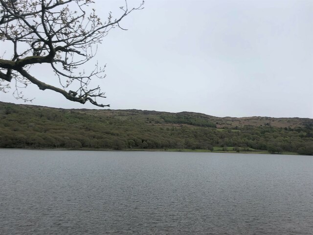
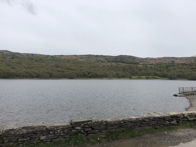
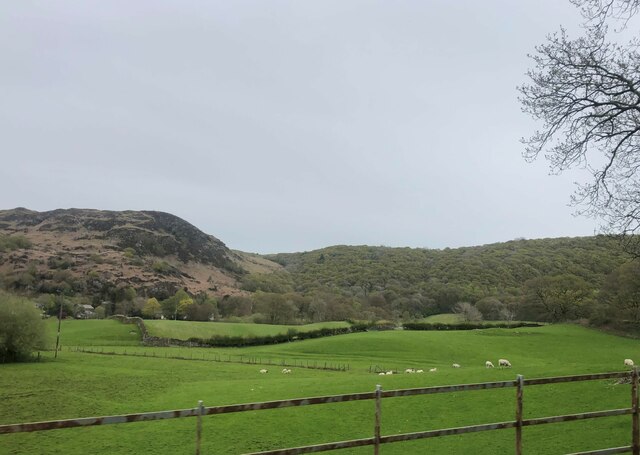
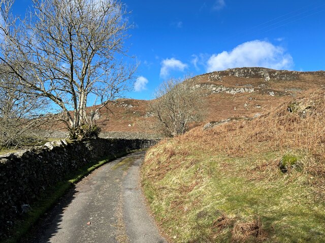
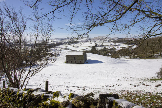
The hill is part of the larger Barrow Fell, which encompasses a range of undulating terrain and offers breathtaking views of the surrounding countryside. Brock Barrow is particularly known for its distinctive shape, resembling a dome or a rounded hump, which gives it a unique character among the other hills in the area.

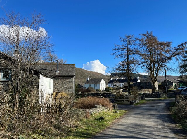
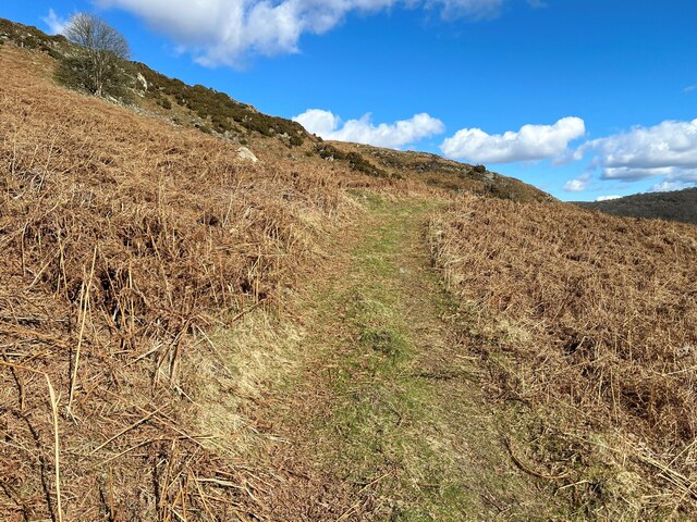
The landscape of Brock Barrow is characterized by its lush greenery and rocky outcrops. The hill is covered in a patchwork of heather and grass, providing a habitat for various flora and fauna. It is not uncommon to spot grazing sheep or other wildlife while venturing up its slopes.

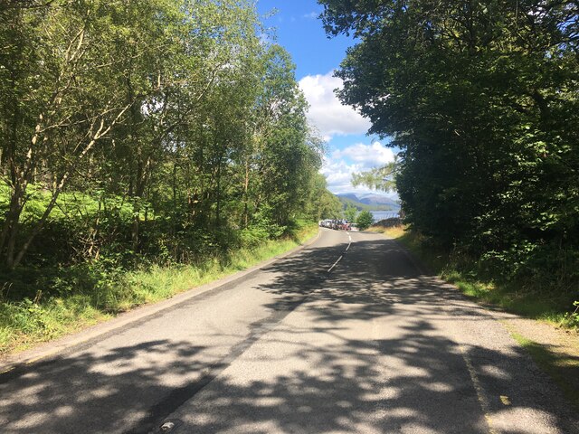
Brock Barrow is a popular destination for hikers, nature enthusiasts, and those seeking panoramic views of the Lancashire countryside. Several walking trails and footpaths traverse the hill, allowing visitors to explore its natural beauty and take in the stunning vistas from its summit.

The hill offers a sense of tranquility and solitude, attracting people seeking a break from the hustle and bustle of everyday life. Whether it be a leisurely stroll or a more challenging hike, Brock Barrow provides an opportunity to immerse oneself in the beauty of Lancashire's landscape.

If you have any feedback on the listing, please let us know in the comments section below.
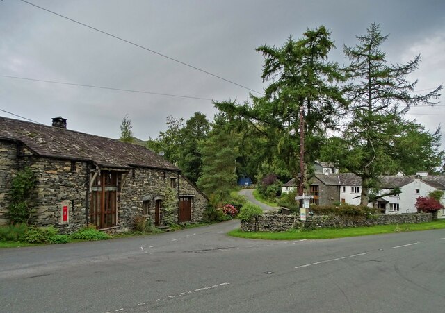
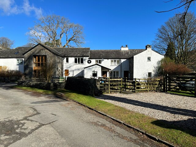
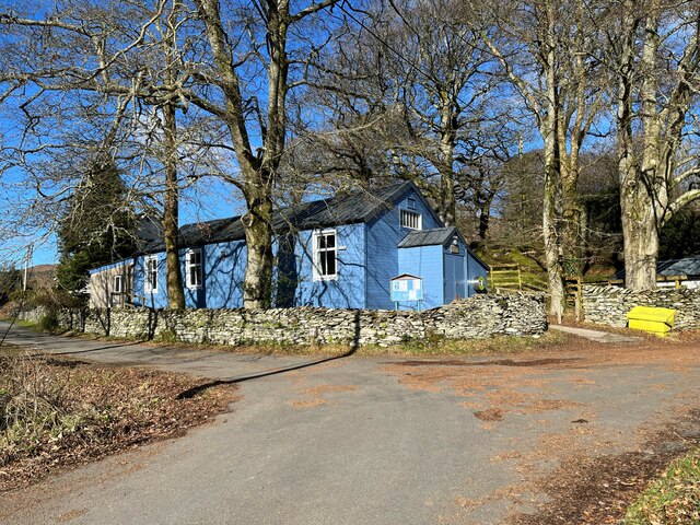
Brock Barrow Images

Images are sourced within 2km of 54.299751/-3.0789714 or Grid Reference SD2989. Thanks to Geograph Open Source API. All images are credited.

Coniston Water from the A5084 At last a view of the lake - the A593 does not run alongside and it is not until you head south of Torver on the A5084 that the lake comes into view.
Coniston Water from the A5084
At last a view of the lake - the A593 does not run alongside and it is not until you head south of Torver on the A5084 that the lake comes into view.
Coniston Water Coniston Water is the fifth largest of the lakes, at five miles long, and with a maximum depth of 184 feet. It provided an important fish source for the monks of Furness Abbey who owned the lake and much of the surrounding land in the 13th and 14th Centuries.
Coniston Water
Coniston Water is the fifth largest of the lakes, at five miles long, and with a maximum depth of 184 feet. It provided an important fish source for the monks of Furness Abbey who owned the lake and much of the surrounding land in the 13th and 14th Centuries.
A glimpse of Coniston Water Towards the southern end of the lake. Boon Wood on the left
A glimpse of Coniston Water
Towards the southern end of the lake. Boon Wood on the left
Farmland at High Nibthwaite South of Coniston Water. The crag on the left is Brook Barrow
Farmland at High Nibthwaite
South of Coniston Water. The crag on the left is Brook Barrow
Wide valley of the River Crake
Former Blawith church Formerly this was the Church of St John the Baptist but it became redundant in 1988 and was sold to be converted in 2012
Former Blawith church
Formerly this was the Church of St John the Baptist but it became redundant in 1988 and was sold to be converted in 2012
A5084 near Coniston Water
Road junction in Water Yeat
At Low Peel Near, Coniston Water
At Low Peel Near looking up Coniston Water
Coniston Water at Low Peel Near Looking to The Old Man of Coniston
Coniston Water at Low Peel Near
Looking to The Old Man of Coniston
Water Yeat Mill This former corn mill was supplied with water power by Greenholme Beck, fed by Beacon Tarn.  It was converted in the mid-1960s into sheltered accommodation for elderly people and now, much altered, it is partly residential with the remainder let for holidays.
Water Yeat Mill
This former corn mill was supplied with water power by Greenholme Beck, fed by Beacon Tarn. It was converted in the mid-1960s into sheltered accommodation for elderly people and now, much altered, it is partly residential with the remainder let for holidays.
Blawith and Nibthwaite Village Hall This small, wooden village hall is located in Water Yeat.  It is run as a charity by and for the benefit of the local community.
Blawith and Nibthwaite Village Hall
This small, wooden village hall is located in Water Yeat. It is run as a charity by and for the benefit of the local community.
The road to Greenholme Farm Bowder Knott is the hill in the right background.
The road to Greenholme Farm
Bowder Knott is the hill in the right background.
Water Yeat The building on the left is a former corn mill, supplied with water power by Greenholme Beck.
Water Yeat
The building on the left is a former corn mill, supplied with water power by Greenholme Beck.
Track near Greenholme Farm
New Barn
New Barn
Show me another place!

Brock Barrow is located at Grid Ref: SD2989 (Lat: 54.299751, Lng: -3.0789714)

Administrative County: Cumbria

District: South Lakeland

Police Authority: Cumbria

What 3 Words

///dwelled.samplers.chief. Near Ulverston, Cumbria

Related Wikis

Nibthwaite

Nibthwaite is a village in the South Lakeland District in the county of Cumbria in the northwest of England. It is in the civil parish of Colton, and on...

North Lonsdale Rural District

North Lonsdale was a rural district in the county of Lancashire, England from 1894 to 1974. It was created in 1894 as the Ulverston Rural District, and...

St John the Baptist's Church, Blawith

St John the Baptist's Church is a redundant Anglican church in the settlement of Blawith, Cumbria, England. It is located to the east of the A5084 road...

Blawith and Subberthwaite

Blawith and Subberthwaite is a civil parish in the South Lakeland district of Cumbria, England. It is situated in the Lake District National Park, and...

Peel Island, Cumbria

Peel Island (formerly known as Montague Island or the Gridiron) is one of the three islands of Coniston Water in the English Lake District, Cumbria. The...

Beacon Fell, Cumbria

Beacon Fell is a fell in the southern Lake District of England with an altitude of 836 feet (255 m). It is the subject of a chapter of Wainwright's book...

Top o'Selside

Top o'Selside is a hill in the Lake District in Cumbria, England. At 335 metres (1,099 ft), it is the highest point of the group of hills situated between...

Woodland Fell

Woodland Fell is an upland area in the south of the English Lake District, south of Torver, Cumbria. It is the subject of a chapter of Wainwright's book...

Nearby Amenities

Located within 500m of 54.299751,-3.0789714
High Bethecar
Place: hamlet
Source: OS OpenData StreetView
Lat/Long: 54.2987807/-3.0719423
Barrier: stile
Lat/Long: 54.2960319/-3.0779006
Brock Barrow
Ele: 229
Natural: peak
Lat/Long: 54.2994912/-3.0793048
Man Made: cairn
Lat/Long: 54.299094/-3.0801021
Ford: yes
Lat/Long: 54.2988563/-3.0752646
Ford: yes
Lat/Long: 54.299106/-3.071975
Barrier: stile
Lat/Long: 54.2971705/-3.0785584
Barrier: kissing_gate
Lat/Long: 54.2991846/-3.0738233
Generator Method: photovoltaic
Generator Output Electricity: yes
Generator Source: solar
Generator Type: solar_photovoltaic_panel
Location: roof
Power: generator
Lat/Long: 54.2983042/-3.0860723
Ford: yes
Lat/Long: 54.2991552/-3.0719639
Low Light Haw
Ele: 250
Natural: peak
Lat/Long: 54.3017615/-3.074593
Ramphall Intake
Place: locality
Lat/Long: 54.3009155/-3.0830494
Ford: yes
Lat/Long: 54.3012466/-3.0733902
Ford: yes
Lat/Long: 54.3002769/-3.0741623
Information: guidepost
Tourism: information
Lat/Long: 54.2982079/-3.0857893
Ford: yes
Lat/Long: 54.2990746/-3.0745184
Power: pole
Lat/Long: 54.2986861/-3.0715148
Power: pole
Lat/Long: 54.2977845/-3.072815
Power: pole
Lat/Long: 54.2977179/-3.0741508
Power: pole
Lat/Long: 54.2976555/-3.0752726
Power: pole
Lat/Long: 54.297618/-3.0768128
Power: pole
Lat/Long: 54.2975958/-3.0785396
Power: pole
Lat/Long: 54.297575/-3.0799835
Power: pole
Lat/Long: 54.2975549/-3.0818707
Power: pole
Lat/Long: 54.2975334/-3.0835797
The data included in this document is from www.openstreetmap.org. The data is made available under ODbL.

Have you been to Brock Barrow?

Leave your review of Brock Barrow below (or comments, questions and feedback).