Green Hill

Hill, Mountain in Peeblesshire

Scotland

Green Hill

Peebles Rig from Dunslair Heights Whitehope Law (623m) is in view across the valley of the Leithen Water.
Peebles Rig from Dunslair Heights Credit: Jim Barton

Green Hill is a prominent hill located in Peeblesshire, which is a historic county in the Scottish Borders region of Scotland. Standing at an elevation of approximately 522 meters (1,713 feet), it offers breathtaking views of the surrounding countryside.

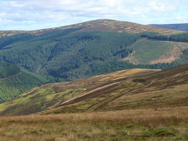
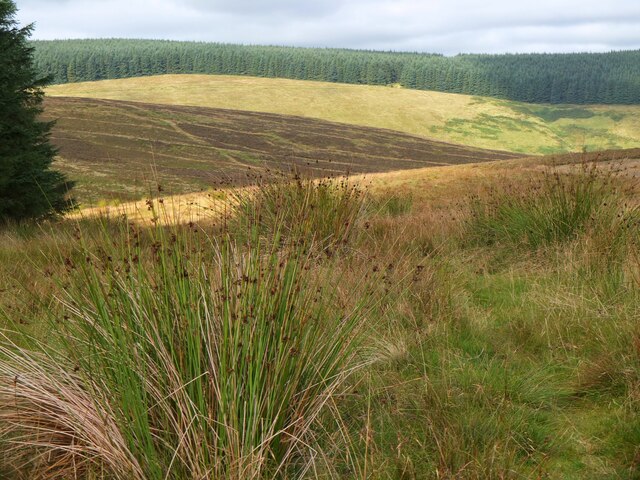
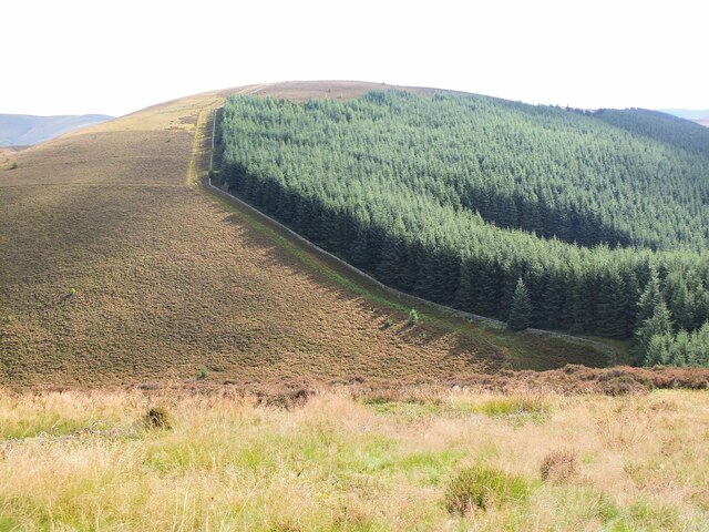
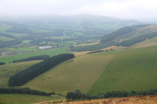
Green Hill is characterized by its gentle slopes, making it a popular destination for outdoor enthusiasts and hikers. The hill is covered in lush green vegetation, featuring a mix of grassy meadows, heather moorland, and scattered trees. This diverse landscape provides a habitat for a variety of wildlife, including birds, small mammals, and insects.

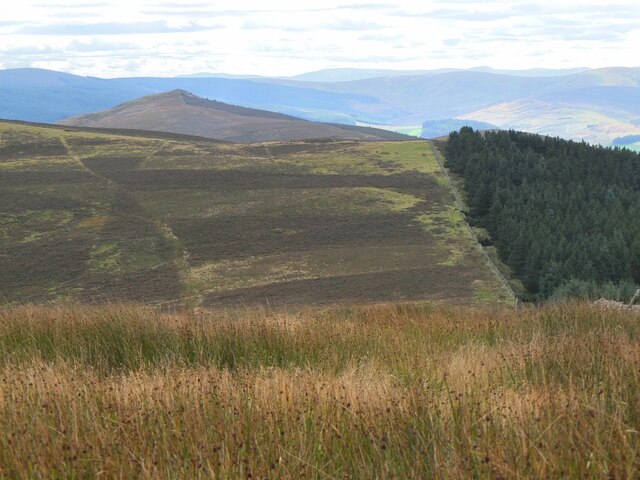
At the summit of Green Hill, visitors are rewarded with panoramic views of the surrounding area. On a clear day, one can see the rolling hills and picturesque valleys of Peeblesshire, as well as the distant peaks of the Scottish Borders and beyond. This viewpoint offers a unique opportunity to appreciate the natural beauty and tranquility of the region.

Access to Green Hill is relatively easy, with several trails and paths leading to the summit. The hill is a popular destination for both experienced hikers and casual walkers, who can enjoy the peacefulness and serenity of the countryside.

Green Hill, with its scenic landscapes and stunning vistas, is a true gem of Peeblesshire, offering a memorable experience for nature enthusiasts and those seeking a peaceful retreat in the heart of Scotland.

If you have any feedback on the listing, please let us know in the comments section below.
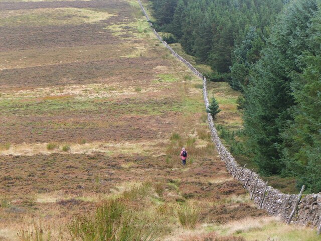
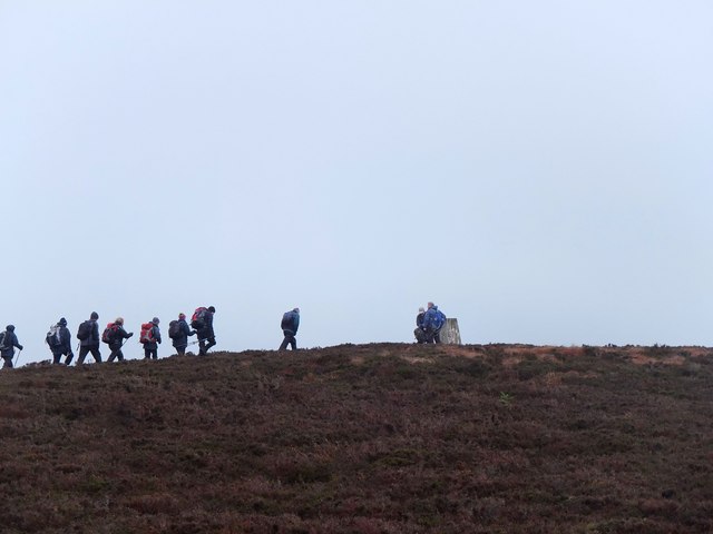
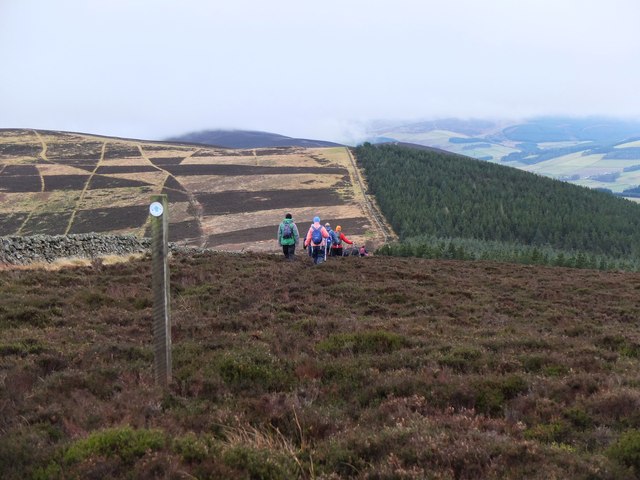
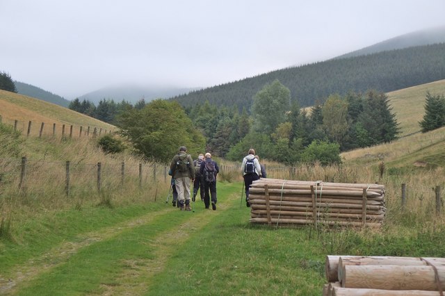
Green Hill Images

Images are sourced within 2km of 55.664346/-3.118565 or Grid Reference NT2941. Thanks to Geograph Open Source API. All images are credited.

Peebles Rig from Dunslair Heights Whitehope Law (623m) is in view across the valley of the Leithen Water.
Peebles Rig from Dunslair Heights
Whitehope Law (623m) is in view across the valley of the Leithen Water.
Summit of Leithen Door Hill Clumps of rushes on the grassy summit with the forest edge on Dunslair Heights in view across Peebles Rig.
Summit of Leithen Door Hill
Clumps of rushes on the grassy summit with the forest edge on Dunslair Heights in view across Peebles Rig.
Black Law across Leithen Door Leithen Door is a steep 60m drop and re-ascent on the ridge walk from Dunslair Heights to Lee Pen.
Black Law across Leithen Door
Leithen Door is a steep 60m drop and re-ascent on the ridge walk from Dunslair Heights to Lee Pen.
Lee Pen in sight The conical summit of Lee Pen (502m) marks the end of the ridge running SE between the Leithen Water and the Tweed. This view from Clog Knowe is across the intervening top of Black Knowe.
Lee Pen in sight
The conical summit of Lee Pen (502m) marks the end of the ridge running SE between the Leithen Water and the Tweed. This view from Clog Knowe is across the intervening top of Black Knowe.
Col below Clog Knowe The ridge between Clog Knowe and Black Knowe on the walk from Dunslair Heights to Lee Pen and Innerleithen. The plantation is part of Glentress Forest.
Col below Clog Knowe
The ridge between Clog Knowe and Black Knowe on the walk from Dunslair Heights to Lee Pen and Innerleithen. The plantation is part of Glentress Forest.
Lee Pen in view, Leithen Door Hill On a post-New-Year walk from Peebles to Innerleithen, with the final summit of Lee Pen now in sight.
Lee Pen in view, Leithen Door Hill
On a post-New-Year walk from Peebles to Innerleithen, with the final summit of Lee Pen now in sight.
Descending to Leithen Door Leithen Door is a deep col on the undulating ridge of moorland running SE from Peebles to Innerleithen. Walkers here are about to descend 70m steeply then climb nearly 100m to the summit of Black Law opposite.
Descending to Leithen Door
Leithen Door is a deep col on the undulating ridge of moorland running SE from Peebles to Innerleithen. Walkers here are about to descend 70m steeply then climb nearly 100m to the summit of Black Law opposite.
Descending the steep side of Leithen Door Walkers descending the eastern side of this deep pass on the ridge on a post-New-Year walk from Peebles to Innerleithen.
Descending the steep side of Leithen Door
Walkers descending the eastern side of this deep pass on the ridge on a post-New-Year walk from Peebles to Innerleithen.
Approaching the summit, Black Law Taken on a post-New-Year walk from Peebles to Innerleithen, following the undulating heathery ridge from Glentress. The summit trig point is at 538m.
Approaching the summit, Black Law
Taken on a post-New-Year walk from Peebles to Innerleithen, following the undulating heathery ridge from Glentress. The summit trig point is at 538m.
Horsburgh Heights trail on Clog Knowe The distinctively patterned hillside is showing the heather management areas on Black Knowe.
Horsburgh Heights trail on Clog Knowe
The distinctively patterned hillside is showing the heather management areas on Black Knowe.
Patterned hillside on Black Knowe Blocks of heather on a moorland that is managed to promote grouse habitat - see also <a href="https://www.geograph.org.uk/photo/1960396">NT3141 : A chequerboard hillside, Clog Knowe</a> for a view of the opposite hillside of Clog Knowe.
Patterned hillside on Black Knowe
Blocks of heather on a moorland that is managed to promote grouse habitat - see also NT3141 : A chequerboard hillside, Clog Knowe for a view of the opposite hillside of Clog Knowe.
Woolhope Bank from the air The checked pattern indicates that the moor is managed for game shooting. Glentrees Forest is in the foreground.
Woolhope Bank from the air
The checked pattern indicates that the moor is managed for game shooting. Glentrees Forest is in the foreground.
Across Leithen Door A 70m deep notch in the ridge on the south side of the valley of the Leithen Water.
Across Leithen Door
A 70m deep notch in the ridge on the south side of the valley of the Leithen Water.
Walkers on Clog Knowe Tweeddale Ramblers hold an annual walk on the ridge from Peebles to Innerleithen, a fine high level route given reasonable weather.
Walkers on Clog Knowe
Tweeddale Ramblers hold an annual walk on the ridge from Peebles to Innerleithen, a fine high level route given reasonable weather.
On the ridge to Innerleithen Walkers descending Clog Knowe towards Black Knowe, the next top on the high-level route to Innerleithen. In the distance is the triangular peak of Lee Pen, the last summit before descent to Innerleithen.
On the ridge to Innerleithen
Walkers descending Clog Knowe towards Black Knowe, the next top on the high-level route to Innerleithen. In the distance is the triangular peak of Lee Pen, the last summit before descent to Innerleithen.
Track by the Hope Burn Bundles of fence posts by the track on the way up by Hope Burn towards the plantations of Glentress Forest.
Track by the Hope Burn
Bundles of fence posts by the track on the way up by Hope Burn towards the plantations of Glentress Forest.
Bught Hill from Habs Cleuch Shank Much of the land in the middle foreground will be planted by the Forestry Commission over the next few years. The white building in the valley is the Macdonald Cardrona Hotel.
Bught Hill from Habs Cleuch Shank
Much of the land in the middle foreground will be planted by the Forestry Commission over the next few years. The white building in the valley is the Macdonald Cardrona Hotel.
Clog Knowe ahead A walker on the ascent of Clog Knowe (541m) on the ridge between Innerleithen and Peebles, by the eastern edge of Glentress Forest. Compare with <a href="https://www.geograph.org.uk/photo/1960396">NT3141 : A chequerboard hillside, Clog Knowe</a> showing a similar view of the patterned heather moor taken in 2010.
Clog Knowe ahead
A walker on the ascent of Clog Knowe (541m) on the ridge between Innerleithen and Peebles, by the eastern edge of Glentress Forest. Compare with NT3141 : A chequerboard hillside, Clog Knowe showing a similar view of the patterned heather moor taken in 2010.
Show me another place!

Green Hill is located at Grid Ref: NT2941 (Lat: 55.664346, Lng: -3.118565)

Unitary Authority: The Scottish Borders

Police Authority: The Lothians and Scottish Borders

What 3 Words

///bronzed.inferior.exploring. Near Peebles, Scottish Borders

Related Wikis

Nether Horsburgh Castle

Nether Horsburgh Castle is a ruined tower house near Cardrona, in the Scottish Borders, in the former county of Peebleshire. It is situated at the back...

Glentress Forest

Glentress Forest is located near Peebles in the Scottish Borders, about 30 miles south of Edinburgh. Part of the Tweed Valley Forest Park along with Traquair...

Cardrona, Scottish Borders

Cardrona is a village on the A72 and B7062, between Peebles and Innerleithen, in the Scottish Borders area of Scotland. Places nearby include Glentress...

Cardrona railway station

Cardrona railway station served the village of Cardrona, Scottish Borders, Scotland from 1864 to 1962 on the Peebles Railway. == History == The station...

Nearby Amenities

Located within 500m of 55.664346,-3.118565
fort
Historic: ruins
Source: NPE
Lat/Long: 55.6642525/-3.1183243
Green hill
Ele: 426
Natural: peak
Lat/Long: 55.6643823/-3.1184632
The data included in this document is from www.openstreetmap.org. The data is made available under ODbL.

Have you been to Green Hill?

Leave your review of Green Hill below (or comments, questions and feedback).