Deri
Hill, Mountain in Monmouthshire
Wales
Deri
The requested URL returned error: 429 Too Many Requests
If you have any feedback on the listing, please let us know in the comments section below.
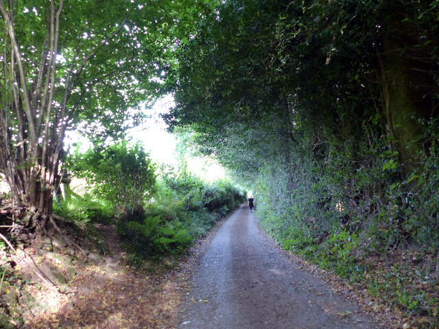
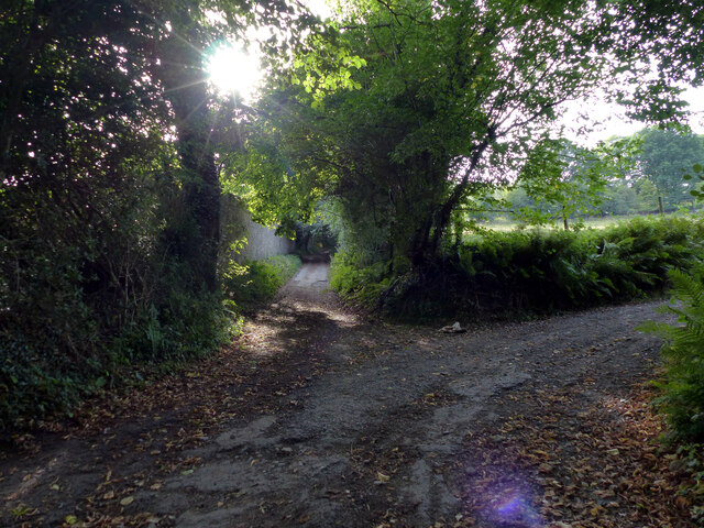
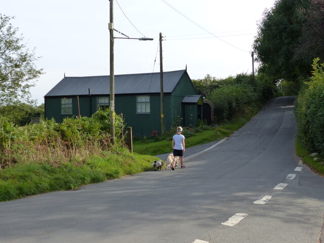
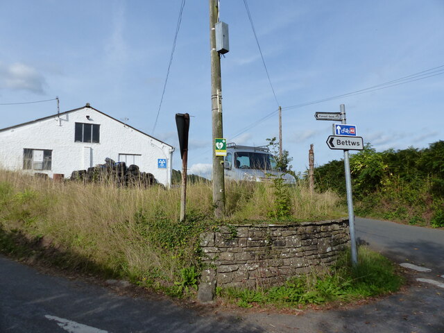
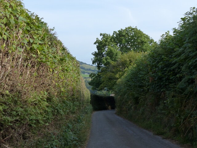
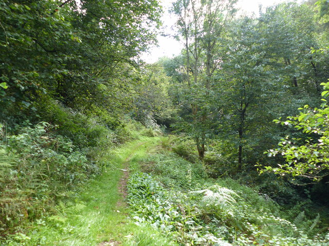
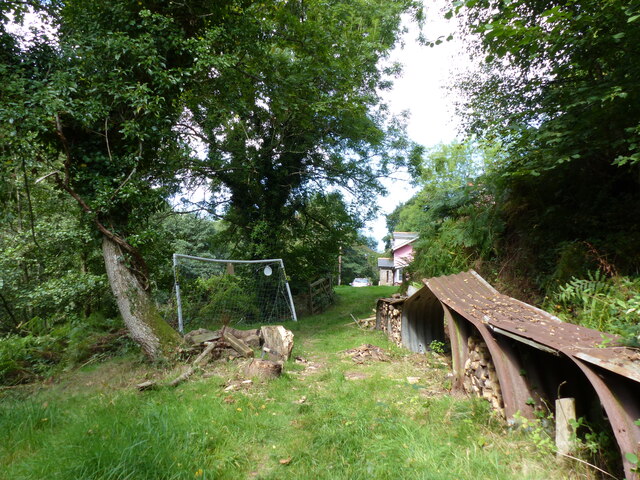
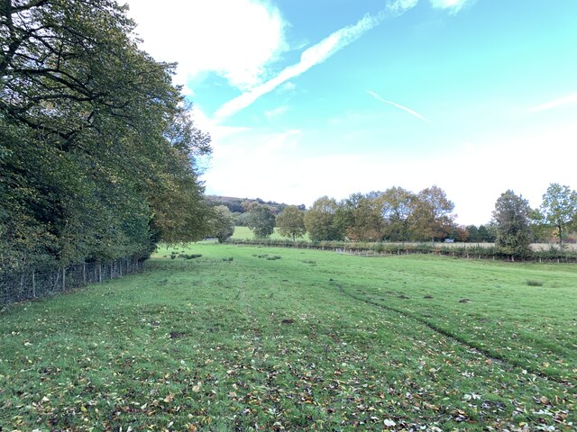
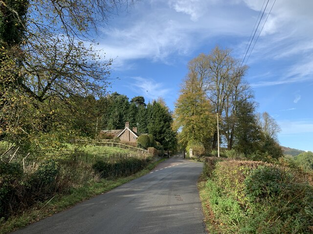
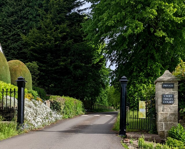
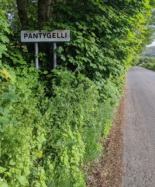
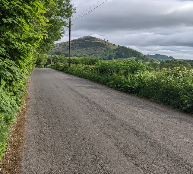
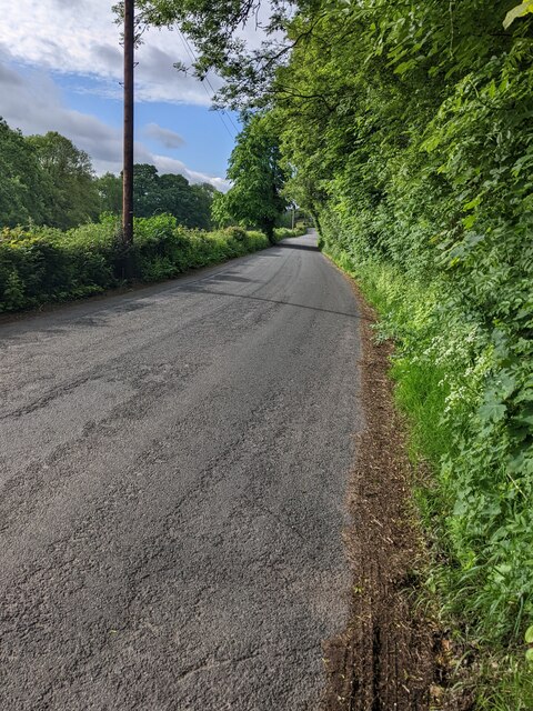
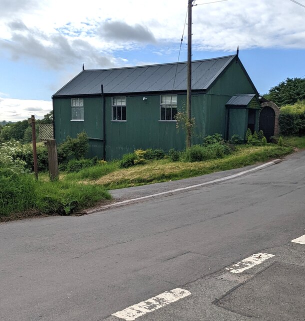
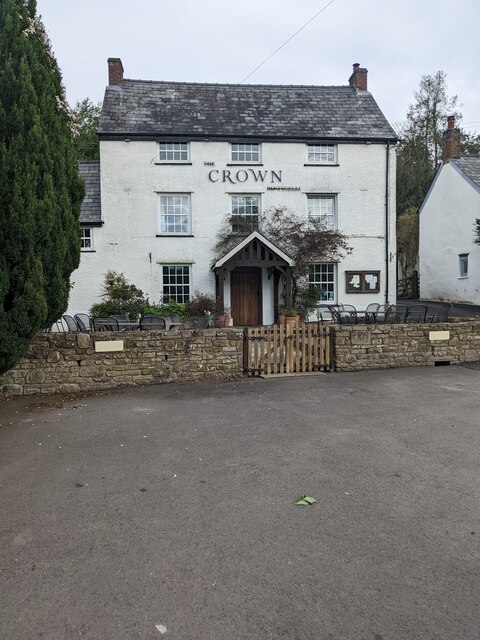
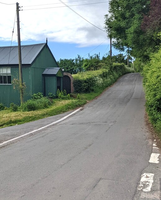
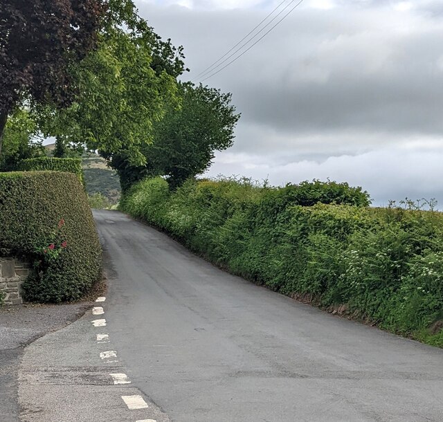
Deri Images
Images are sourced within 2km of 51.851634/-3.0277206 or Grid Reference SO2917. Thanks to Geograph Open Source API. All images are credited.

Deri is located at Grid Ref: SO2917 (Lat: 51.851634, Lng: -3.0277206)
Unitary Authority: Monmouthshire
Police Authority: Gwent
What 3 Words
///same.pampered.indirect. Near Abergavenny, Monmouthshire
Nearby Locations
Related Wikis

Abergavenny Priory Deer Park
Abergavenny Priory Deer Park, to the north of the town of Abergavenny in Monmouthshire, Wales, was a mediaeval deer park. Today, the site is listed on...
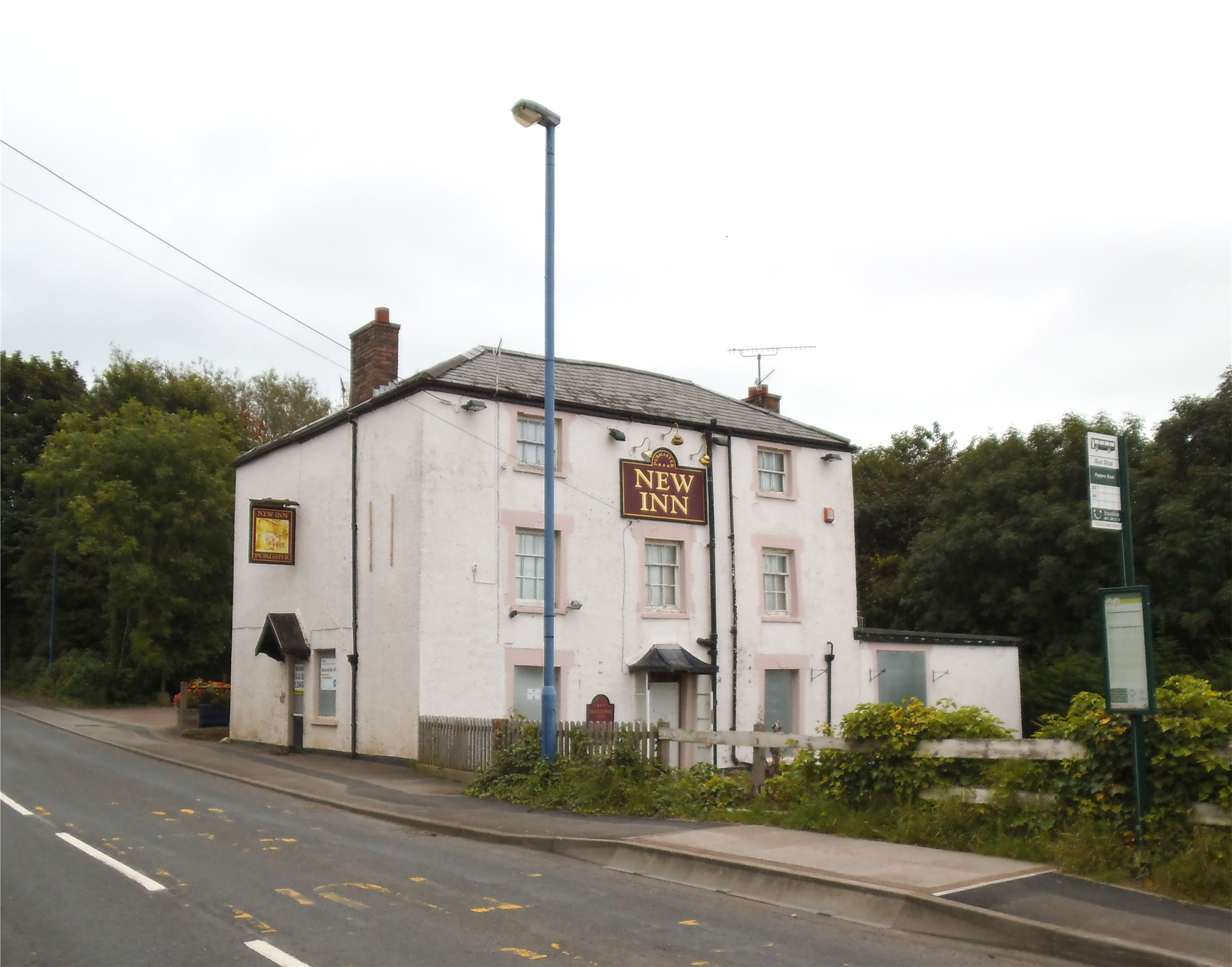
Mardy, Monmouthshire
The Mardy (Welsh: Y Maerdy) is a village in Monmouthshire, south east Wales. == Location == Mardy is located immediately to the north of the market town...
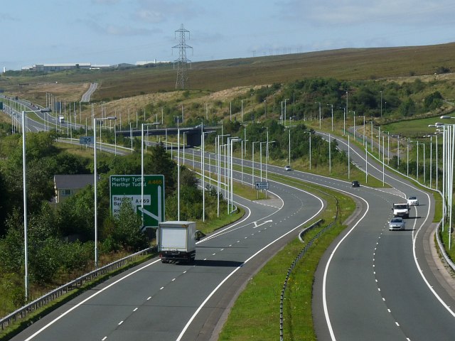
A465 road
The A465 is a trunk road that runs from Bromyard in Herefordshire, England to Llandarcy near Swansea in South Wales. The western half is known officially...
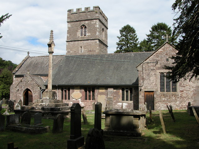
St Teilo's Church, Llantilio Pertholey
The Church of St Teilo is the parish church of Llantilio Pertholey, Monmouthshire, Wales. "An unusually large and varied church", it is a Grade I listed...
Nearby Amenities
Located within 500m of 51.851634,-3.0277206Have you been to Deri?
Leave your review of Deri below (or comments, questions and feedback).