Plyer's Hill

Hill, Mountain in Somerset South Somerset

England

Plyer's Hill

Forest Mill Lane This tiny lane turns off the A303 to run close to the River Ding towards Horton. Seen from the junction with the main road.
Forest Mill Lane Credit: Derek Harper

Plyer's Hill is a prominent geographical feature located in the county of Somerset, England. It is classified as a hill, rather than a mountain, due to its relatively modest elevation. Situated in the southwestern part of the country, Plyer's Hill is part of the larger Mendip Hills range, which stretches across several counties in the region.

With an elevation of approximately 326 meters (1,070 feet), Plyer's Hill offers breathtaking panoramic views of the surrounding countryside. Visitors to the area can enjoy a picturesque landscape of rolling hills, green meadows, and scattered woodlands. On clear days, it is even possible to catch a glimpse of the Bristol Channel in the distance.

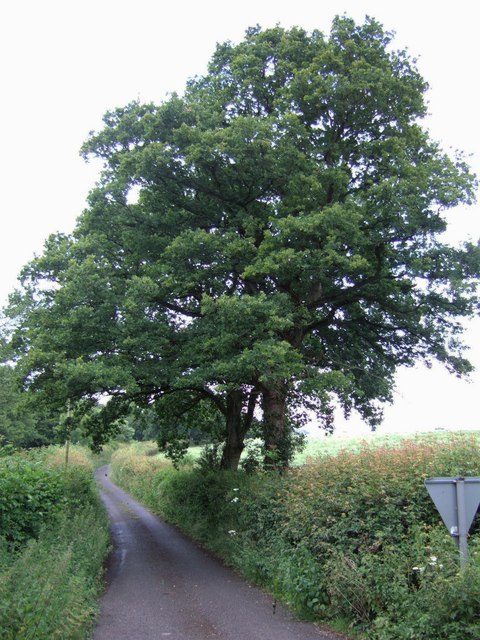
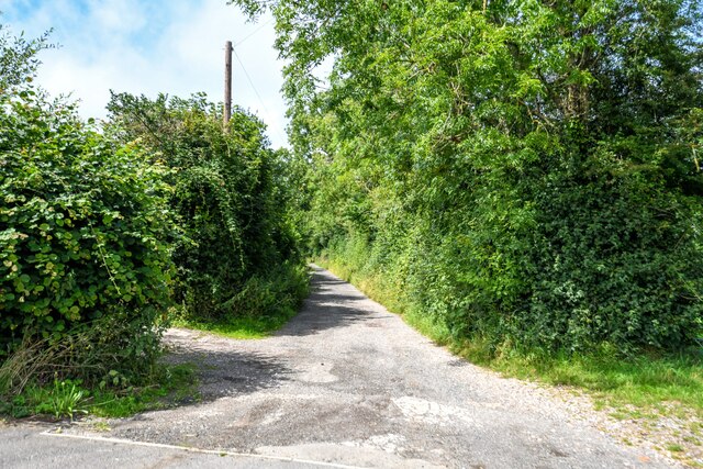
The hill is popular among hikers, nature enthusiasts, and photographers, who are drawn to its natural beauty and tranquility. Several walking trails crisscross the area, providing opportunities for both leisurely strolls and more challenging hikes. The diverse flora and fauna found on Plyer's Hill include wildflowers, birds, and small mammals, making it a haven for wildlife lovers.

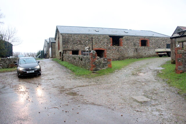
Historically, Plyer's Hill has been used for grazing livestock, particularly sheep. Today, it continues to serve as pastureland for local farmers. The hill's gentle slopes and well-drained soil contribute to its suitability for agricultural purposes.

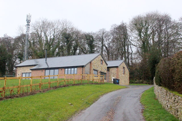
Plyer's Hill is easily accessible by road, with nearby parking facilities available for visitors. Its convenient location, combined with its natural charm, makes it an attractive destination for those seeking a peaceful retreat or an opportunity to connect with nature in the heart of Somerset.

If you have any feedback on the listing, please let us know in the comments section below.
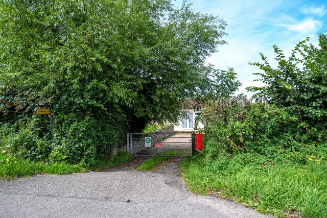
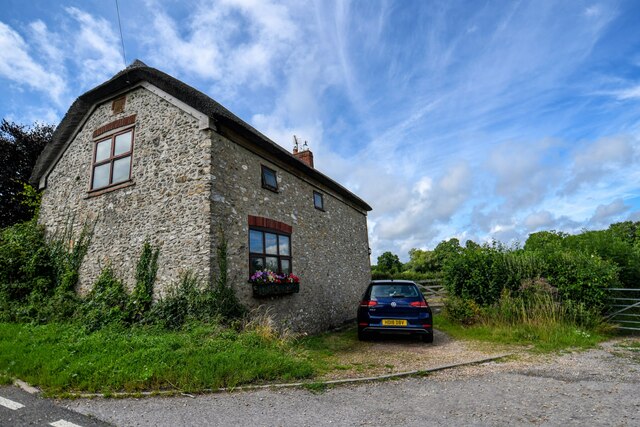
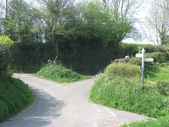
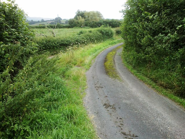
Plyer's Hill Images

Images are sourced within 2km of 50.920171/-3.0085522 or Grid Reference ST2913. Thanks to Geograph Open Source API. All images are credited.

Forest Mill Lane This tiny lane turns off the A303 to run close to the River Ding towards Horton. Seen from the junction with the main road.
Forest Mill Lane
This tiny lane turns off the A303 to run close to the River Ding towards Horton. Seen from the junction with the main road.
Lane to Poltimore Farm Poltimore Farm can be seen on the slopes of the Blackdown Hills, nearly 400 metres up the tree-lined lane with its wide verges and ditches, which has come from the A303.
Lane to Poltimore Farm
Poltimore Farm can be seen on the slopes of the Blackdown Hills, nearly 400 metres up the tree-lined lane with its wide verges and ditches, which has come from the A303.
Field at Sticklepath A field at the steep head of the valley of a tributary of the Isle, and consequently having good views.
Field at Sticklepath
A field at the steep head of the valley of a tributary of the Isle, and consequently having good views.
Field at Sticklepath A view from the opposite side of the lane down to Crock Street from <a href="https://www.geograph.org.uk/photo/2008762">ST3012 : Field at Sticklepath</a>.
Field at Sticklepath
A view from the opposite side of the lane down to Crock Street from ST3012 : Field at Sticklepath.
Poltimore Lane Poltimore Lane leads south from the A303 towards Poltimore Farm It then joins Priddles Lane which continues on to Combe St Martin
Poltimore Lane
Poltimore Lane leads south from the A303 towards Poltimore Farm It then joins Priddles Lane which continues on to Combe St Martin
Poltimore Lane This is the section of the Lane between Emerald Cottage and Poltimore Farm, some of whose buildings can be seen in the distance.
Poltimore Lane
This is the section of the Lane between Emerald Cottage and Poltimore Farm, some of whose buildings can be seen in the distance.
House at Poltimore Farm This appears to be a new residential building. It is known as Purchases Barn and it is let out as holiday cottages. It sleeps eight people and the price for renting it for 7 days in August 2022 is £2900.
House at Poltimore Farm
This appears to be a new residential building. It is known as Purchases Barn and it is let out as holiday cottages. It sleeps eight people and the price for renting it for 7 days in August 2022 is £2900.
Sticklepath Farm A grey wet evening at SticklepathF arm on the minor road from Horton to Combe St Nicholas.
Sticklepath Farm
A grey wet evening at SticklepathF arm on the minor road from Horton to Combe St Nicholas.
Combe St Nicholas : Charmoor Drove Looking along Charmoor Drove.
Combe St Nicholas : Charmoor Drove
Looking along Charmoor Drove.
Combe St Nicholas : Oakfields Entry to a house off the A303.
Combe St Nicholas : Oakfields
Entry to a house off the A303.
Combe St Nicholas : House A house alongside the A303.
Combe St Nicholas : House
A house alongside the A303.
Broadway : Track A track off the A303.
Broadway : Track
A track off the A303.
Broadway : Somerset Cottage Looking towards a house along the A303.
Broadway : Somerset Cottage
Looking towards a house along the A303.
Broadway : Forest Mill Lane Looking along Forest Mill Lane off the A303.
Broadway : Forest Mill Lane
Looking along Forest Mill Lane off the A303.
Sticklepath View from Combe Beacon Road on the final descent from the East Devon Plateau/Blackdown Hills area of high ground.
Sticklepath
View from Combe Beacon Road on the final descent from the East Devon Plateau/Blackdown Hills area of high ground.
Crossroads, Sticklepath Somewhat offset crossroads with a Somerset County Council fingerpost.
Crossroads, Sticklepath
Somewhat offset crossroads with a Somerset County Council fingerpost.
Blocked gate, Sticklepath There is no room in the yard
Blocked gate, Sticklepath
There is no room in the yard
Road junction, Sticklepath
Show me another place!

Plyer's Hill is located at Grid Ref: ST2913 (Lat: 50.920171, Lng: -3.0085522)

Administrative County: Somerset

District: South Somerset

Police Authority: Avon and Somerset

What 3 Words

///testers.manicured.skimmers. Near Chard, Somerset

Nearby Locations

Ham Plyer's Hill

Related Wikis

Freshmoor

Freshmoor (grid reference ST280125) is an 11.2 hectare (27.7 acre) biological Site of Special Scientific Interest in Somerset, notified in 1989. Freshmoor...

Church of St Mary, Buckland St Mary

The Anglican Church of St Mary in Buckland St Mary, Somerset, England was built in 1853-1863. It is a Grade II* listed building. == History == The church...

Buckland St Mary

Buckland St Mary is a village and parish in Somerset, England, situated 6 miles (9.7 km) to the west of Ilminster and 8 miles (12.9 km) south of Taunton...

Castle Neroche

Castle Neroche is a Norman motte-and-bailey castle on the site of an earlier hill fort in the parish of Curland, near Staple Fitzpaine, Somerset, England...

Church of St Nicholas, Combe St Nicholas

The Church of St Nicholas in Combe St Nicholas, Somerset, England is Norman in origin, with the chancel and lower stage of the tower dating from the 13th...

Combe St Nicholas

Combe St Nicholas is a village and parish in Somerset, England, situated 2 miles (3.2 km) northwest of Chard and 10 miles (16 km) from Taunton in the South...

Horton, Somerset

Horton is a village and civil parish in Somerset, England, situated 5 miles (8.0 km) north of Chard in the South Somerset district. The village has a...

Long Lye

Long Lye (grid reference ST265122) is an 11.7 hectare (29.0 acre) biological Site of Special Scientific Interest at Buckland St Mary in the Blackdown Hills...

Nearby Amenities

Located within 500m of 50.920171,-3.0085522
Material: wood
Power: pole
Source: bing
Transformer: distribution
Lat/Long: 50.9165806/-3.0051121
Power: pole
Source: bing
Lat/Long: 50.9206253/-3.0085896
Power: pole
Source: bing
Lat/Long: 50.924405/-3.0103505
Power: pole
Source: bing
Lat/Long: 50.9237862/-3.0100849
Power: pole
Source: bing
Transformer: distribution
Lat/Long: 50.9232722/-3.0098127
Power: pole
Source: bing
Lat/Long: 50.9224438/-3.0095083
Power: pole
Source: bing
Lat/Long: 50.921874/-3.0092722
Power: pole
Source: bing
Transformer: distribution
Lat/Long: 50.9213659/-3.0090496
Power: pole
Source: bing
Lat/Long: 50.9198804/-3.0081269
Power: pole
Source: bing
Lat/Long: 50.9191855/-3.0076133
Power: pole
Source: bing
Lat/Long: 50.9182808/-3.0069374
Power: pole
Source: bing
Lat/Long: 50.9172206/-3.0059718
Power: pole
Source: bing
Lat/Long: 50.9179308/-3.0066785
Power: pole
Source: bing
Lat/Long: 50.9177516/-3.0076709
Power: pole
Source: bing
Lat/Long: 50.91764/-3.0082691
The data included in this document is from www.openstreetmap.org. The data is made available under ODbL.

Have you been to Plyer's Hill?

Leave your review of Plyer's Hill below (or comments, questions and feedback).