Bencragg Hill

Hill, Mountain in Lancashire South Lakeland

England

Bencragg Hill

Cumbrian landscape A patchwork of grassy fields and low hills in the distance
Cumbrian landscape Credit: Eirian Evans

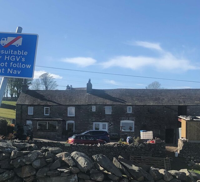
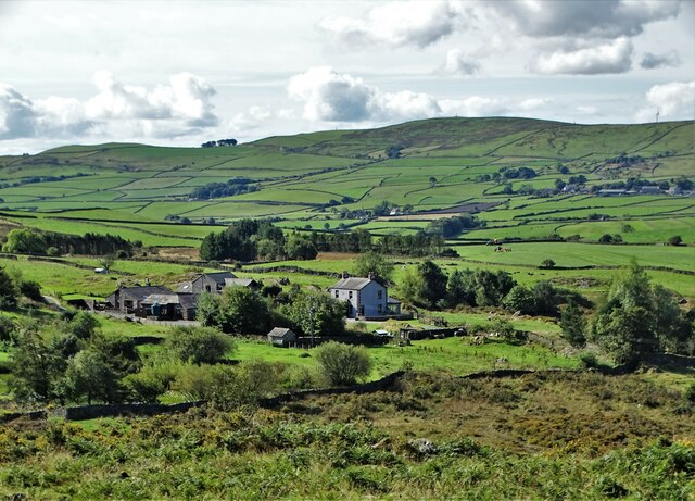
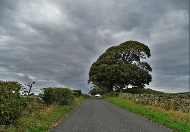
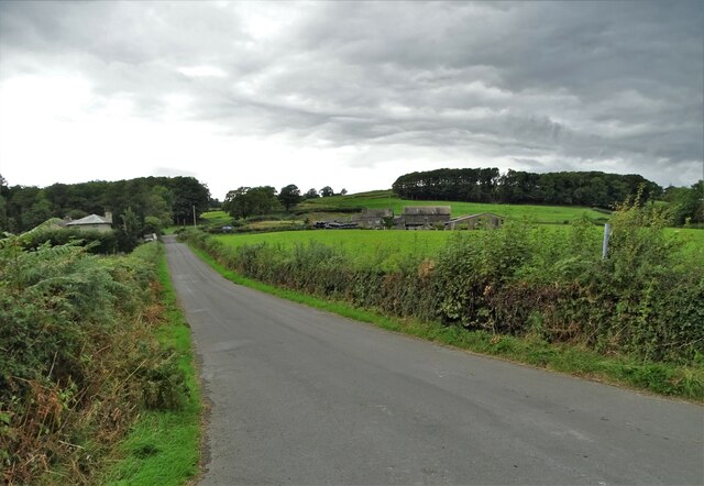
Bencragg Hill, located in Lancashire, England, is a prominent hill and a popular natural landmark in the region. It is situated in the southern part of Lancashire, near the town of Chipping, within the Forest of Bowland Area of Outstanding Natural Beauty.

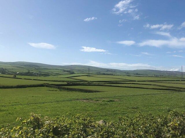
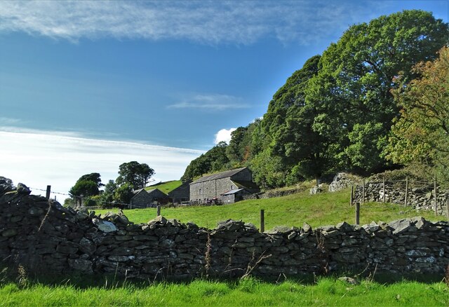
Standing at an impressive height of 440 meters (1,444 feet) above sea level, Bencragg Hill offers breathtaking panoramic views of the surrounding countryside. The hill is characterized by its gentle slopes and lush greenery, adorned with fields and patches of woodland.

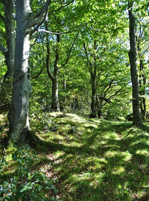
Bencragg Hill is a favorite destination for outdoor enthusiasts, offering a range of activities such as hiking, walking, and birdwatching. The hill is part of a network of trails that crisscross the Forest of Bowland, providing ample opportunity for exploration and adventure. The diverse ecosystem supports a variety of bird species, making it a haven for birdwatchers.

For those seeking a more leisurely visit, Bencragg Hill is home to abundant wildlife, including deer, hares, and various species of birds, providing ample opportunities for wildlife spotting and nature photography.

The hill also has historical significance, with evidence of human occupation dating back to the Neolithic period. The surrounding area contains several ancient sites, including burial mounds and stone circles, further adding to the allure of Bencragg Hill.

In conclusion, Bencragg Hill in Lancashire is a captivating natural feature, offering stunning views, diverse wildlife, and recreational activities for visitors of all interests. Its combination of natural beauty and historical significance makes it a must-visit destination for those exploring the region.

If you have any feedback on the listing, please let us know in the comments section below.

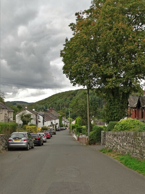
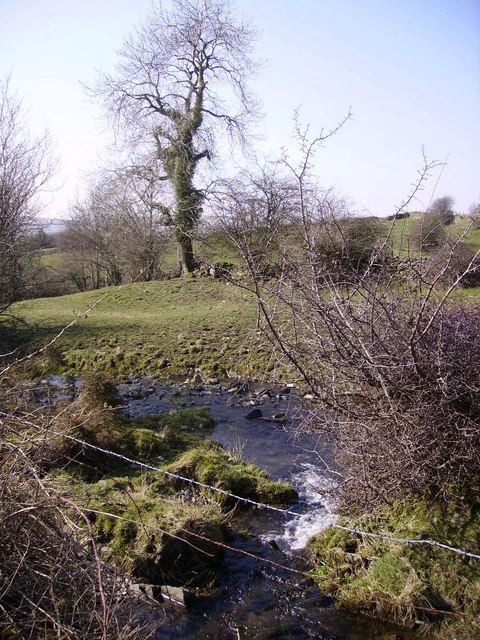
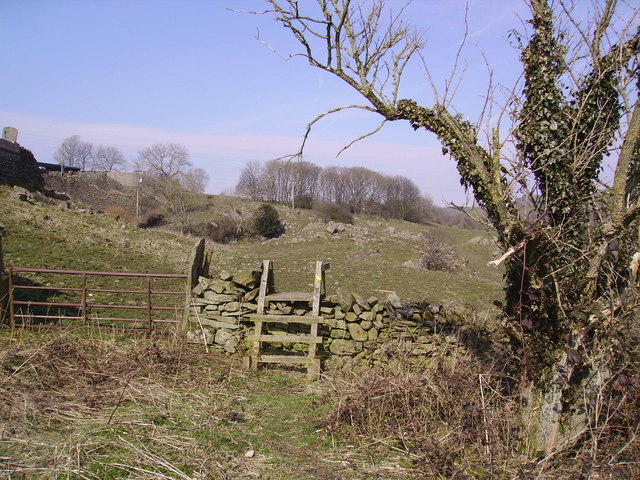
Bencragg Hill Images

Images are sourced within 2km of 54.229383/-3.088272 or Grid Reference SD2982. Thanks to Geograph Open Source API. All images are credited.

Cumbrian landscape A patchwork of grassy fields and low hills in the distance
Cumbrian landscape
A patchwork of grassy fields and low hills in the distance
Mansriggs Farm
Mansriggs Farm
Ordnance Survey Cut Mark This OS cut mark can be found on School Cottage, Netherhouses Road. It marks a point 118.625m above mean sea level.
Ordnance Survey Cut Mark
This OS cut mark can be found on School Cottage, Netherhouses Road. It marks a point 118.625m above mean sea level.
Ordnance Survey Rivet This OS rivet can be found on the wall NE side of Netherhouses Road. It marks a point 123.328m above mean sea level.
Ordnance Survey Rivet
This OS rivet can be found on the wall NE side of Netherhouses Road. It marks a point 123.328m above mean sea level.
Ordnance Survey Rivet This damaged OS rivet can be found on the NE parapet of the bridge. It marks a point 112.682m above mean sea level.
Ordnance Survey Rivet
This damaged OS rivet can be found on the NE parapet of the bridge. It marks a point 112.682m above mean sea level.
Benchmark, Osmotherley, School Cottage Detail of an Ordnance Survey cut benchmark on the west angle, north west face of School Cottage beside The Cumbria Way. The datum line is concealed by render. The benchmark marks a height of 118.6251m above mean sea level (Ordnance Datum Newlyn) last verified in 1968 (location photograph <a href="https://www.geograph.org.uk/photo/7216151">SD2782 : School Cottage, Osmotherley</a>).
Benchmark, Osmotherley, School Cottage
Detail of an Ordnance Survey cut benchmark on the west angle, north west face of School Cottage beside The Cumbria Way. The datum line is concealed by render. The benchmark marks a height of 118.6251m above mean sea level (Ordnance Datum Newlyn) last verified in 1968 (location photograph SD2782 : School Cottage, Osmotherley).
School Cottage, Osmotherley Undergoing extensive renovation, this cottage beside The Cumbria Way is the former Osmotherley School which closed in 1927.
There is an Ordnance Survey cut benchmark visible in a rectangular gap in the render near the west corner of the building (detail photograph <a href="https://www.geograph.org.uk/photo/7216103">SD2782 : Benchmark, Osmotherley, School Cottage</a>).
School Cottage, Osmotherley
Undergoing extensive renovation, this cottage beside The Cumbria Way is the former Osmotherley School which closed in 1927. There is an Ordnance Survey cut benchmark visible in a rectangular gap in the render near the west corner of the building (detail photograph SD2782 : Benchmark, Osmotherley, School Cottage).
A view of Cold Yeat Farm
High Scathwaite Farm
A Sunny September Morning Entering Lads Head Plantation
A Sunny September Morning
Entering Lads Head Plantation
Road to Penny Bridge from Arrad Foot
Lane to Smithy Green
Oak Vale, Penny Bridge
Arrad Foot Farm, Ulverston
Looking towards Osmotherly Moor From the road to Broughton Beck near Mansriggs Hall
Looking towards Osmotherly Moor
From the road to Broughton Beck near Mansriggs Hall
Country Road  Ulverston Looking towards Osmotherly Moor on the road above Mansriggs farm.
Country Road Ulverston
Looking towards Osmotherly Moor on the road above Mansriggs farm.
Gate and Stile Public Footpath near Mansriggs Farm
Gate and Stile
Public Footpath near Mansriggs Farm
Beck near Bowstead Gates From the road near Benn Cragg
Beck near Bowstead Gates
From the road near Benn Cragg
Show me another place!

Bencragg Hill is located at Grid Ref: SD2982 (Lat: 54.229383, Lng: -3.088272)

Administrative County: Cumbria

District: South Lakeland

Police Authority: Cumbria

What 3 Words

///doghouse.upsetting.types. Near Ulverston, Cumbria

Nearby Locations

Bencragg Hill

Related Wikis

Beck Bottom

Beck Bottom is a village in Cumbria, England.

St John the Evangelist's Church, Osmotherley

St John the Evangelist's Church is in the village of Osmotherley, Cumbria, England. It is an active Anglican parish church in the deanery of Furness,...

Broughton Beck

Broughton Beck is a village in the South Lakeland district of Cumbria, England. The village has two sections; one part is on the B5281 Ulverston to Gawthwaite...

Mansriggs

Mansriggs is a settlement and civil parish in the South Lakeland district, in the county of Cumbria, England. Because of its small population, in the 2011...

Related Videos

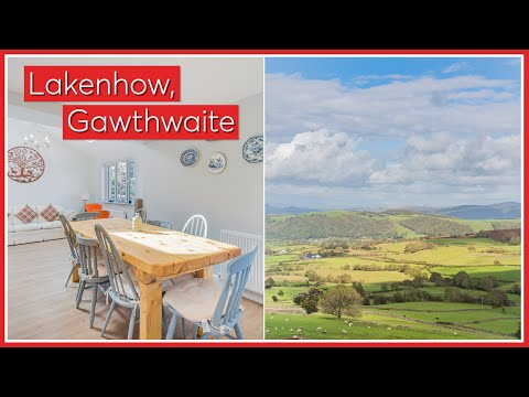
Lakenhow Holiday Cottage in the Lake District

lakedistrict #housetour #holidaycottage Tucked away in the small village of Gawthwaite, a short drive from Ulverston in South ...

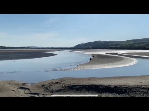
River Leven Channel, September 2022

Walk near Greenodd at the River Leven.

We are at Lake District ๐Ÿค— | 5 August 2023

เด…เดจเตเดคเด‚ เดตเดฟเดŸเตเดŸเต เด•เดพเดฃเดพเตป เดชเดฑเตเดฑเดฃ เด’เดฐเต เด•เดพเดดเตเดšเดฏเดพเดฃเต เดˆ เด•เตเดจเตเดจเดฟเตป เดชเตเดฑเด‚.. เดฎเดจเต‹เดนเดฐเด‚ ...

Wainwright Walks wi'a Local Lad "Burney" A 65th Birthday Walk!

A short walk up the Outlying Fell of Burney, on my 65th birthday! This Wainwright Outlyer is an easy ascent (although quite steep!)

Nearby Amenities

Located within 500m of 54.229383,-3.088272
Barrier: stile
Lat/Long: 54.2316413/-3.0882157
Barrier: stile
Lat/Long: 54.2298061/-3.0850047
Power: pole
Lat/Long: 54.2297723/-3.0848239
Power: pole
Lat/Long: 54.2302419/-3.0842131
Power: pole
Lat/Long: 54.2308935/-3.0833693
Power: pole
Lat/Long: 54.2311714/-3.0815938
Power: pole
Lat/Long: 54.2304586/-3.0810567
Power: pole
Lat/Long: 54.2312825/-3.0828844
Power: pole
Lat/Long: 54.2289359/-3.0856416
Power: pole
Lat/Long: 54.2281467/-3.0864236
Power: pole
Lat/Long: 54.2272269/-3.0873006
Power: pole
Lat/Long: 54.2265572/-3.0879376
Power: pole
Lat/Long: 54.2254818/-3.0889739
The data included in this document is from www.openstreetmap.org. The data is made available under ODbL.

Have you been to Bencragg Hill?

Leave your review of Bencragg Hill below (or comments, questions and feedback).