Blake Rigg

Hill, Mountain in Westmorland South Lakeland

England

Blake Rigg

The Bridge over Wrynose Beck
The Bridge over Wrynose Beck Credit: Andy Beecroft

Blake Rigg is a prominent hill located in the county of Westmorland, in the northwestern region of England. Rising to an elevation of approximately 221 meters (725 feet), it is considered a notable landmark within the surrounding landscape.

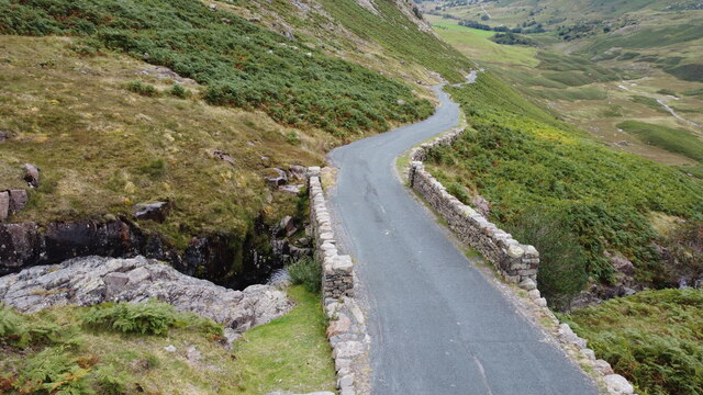
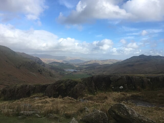
Situated near the town of Kendal, Blake Rigg offers breathtaking panoramic views of the picturesque countryside, including the nearby Lake District National Park. With its strategic position, the hill provides visitors with an excellent vantage point to appreciate the natural beauty of the region.

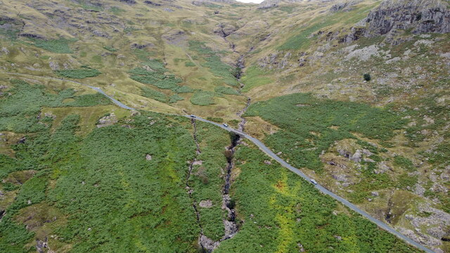
The landscape surrounding Blake Rigg is characterized by rolling green hills, scattered meadows, and charming villages. The area is home to a diverse range of flora and fauna, making it an ideal destination for nature enthusiasts and hikers alike. The hill's proximity to the Lake District also offers opportunities for various outdoor activities, such as walking, cycling, and birdwatching.

Visitors can access Blake Rigg via well-maintained footpaths and trails, ensuring a safe and enjoyable experience. The hill is suitable for people of all ages and fitness levels, with various routes available to accommodate different preferences and abilities.

In addition to its natural attractions, Blake Rigg holds historical significance. The surrounding area is dotted with remnants of ancient settlements and structures, providing a glimpse into the region's rich past.

Overall, Blake Rigg in Westmorland offers a captivating blend of natural beauty, historical intrigue, and outdoor recreational opportunities, making it a must-visit destination for those exploring this enchanting corner of England.

If you have any feedback on the listing, please let us know in the comments section below.
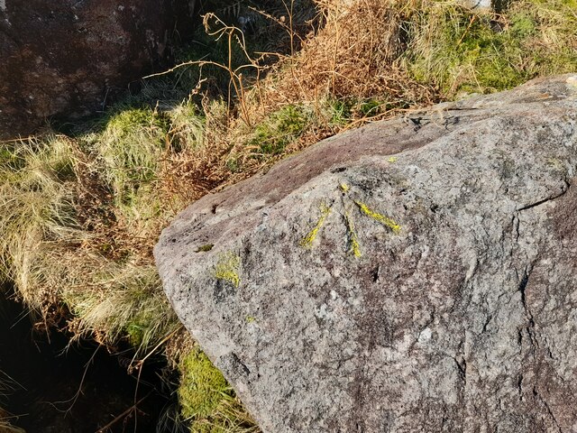
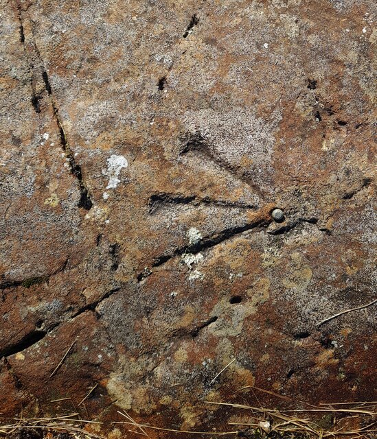
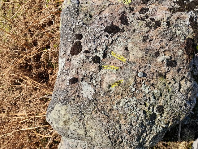
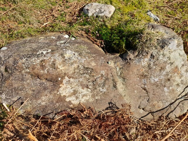
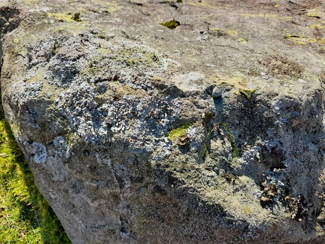
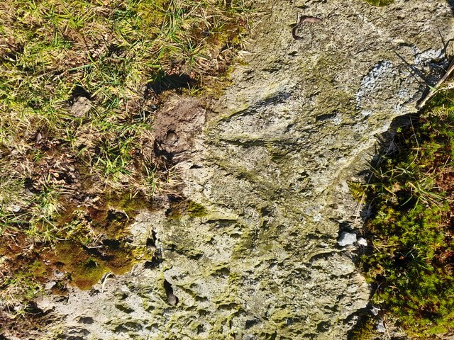
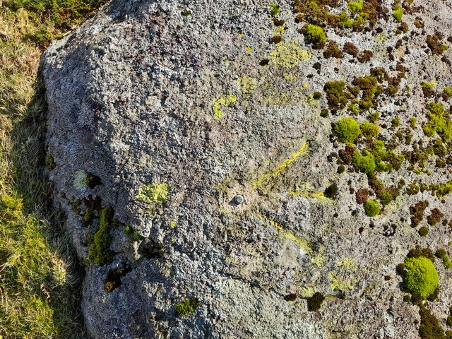
Blake Rigg Images

Images are sourced within 2km of 54.42531/-3.1026142 or Grid Reference NY2803. Thanks to Geograph Open Source API. All images are credited.

The Bridge over Wrynose Beck
Wrynose Beck and the Road Bridge over it
Wrynose Pass The valley looking down towards Greenburn Beck
Wrynose Pass
The valley looking down towards Greenburn Beck
Ordnance Survey Rivet This OS rivet can be found on a rock SE side of the road. It marks a point 324.481m above mean sea level.
Ordnance Survey Rivet
This OS rivet can be found on a rock SE side of the road. It marks a point 324.481m above mean sea level.
Ordnance Survey Rivet This OS rivet can be found on a rock south side of the road. It marks a point 344.650m above mean sea level.
Ordnance Survey Rivet
This OS rivet can be found on a rock south side of the road. It marks a point 344.650m above mean sea level.
Ordnance Survey Pivot This OS pivot can be found on a rock south side of the road. It marks a point 366.745m above mean sea level.
Ordnance Survey Pivot
This OS pivot can be found on a rock south side of the road. It marks a point 366.745m above mean sea level.
Ordnance Survey Rivet This OS rivet can be found on a rock south side of the road. It marks a point 387.812m above mean sea level.
Ordnance Survey Rivet
This OS rivet can be found on a rock south side of the road. It marks a point 387.812m above mean sea level.
Ordnance Survey Cut Mark This OS cut mark can be found on a rock SE side of the road. It marks a point 358.439m above mean sea level.
Ordnance Survey Cut Mark
This OS cut mark can be found on a rock SE side of the road. It marks a point 358.439m above mean sea level.
Ordnance Survey Rivet This OS rivet can be found on a rock NW side of the road. It marks a point 379.116m above mean sea level.
Ordnance Survey Rivet
This OS rivet can be found on a rock NW side of the road. It marks a point 379.116m above mean sea level.
Ordnance Survey Rivet This OS rivet can be found on a rock NW side of the road. It marks a point 339.017m above mean sea level.
Ordnance Survey Rivet
This OS rivet can be found on a rock NW side of the road. It marks a point 339.017m above mean sea level.
Ordnance Survey Rivet This OS rivet can be found on a rock NW side of the road. It marks a point 317.215m above mean sea level.
Ordnance Survey Rivet
This OS rivet can be found on a rock NW side of the road. It marks a point 317.215m above mean sea level.
Ordnance Survey Pivot This OS pivot can be found on a rock NW side of the road.
Ordnance Survey Pivot
This OS pivot can be found on a rock NW side of the road.
Ordnance Survey Rivet This OS rivet can be found on a rock north side of the road. It marks a point 299.762m above mean sea level.
Ordnance Survey Rivet
This OS rivet can be found on a rock north side of the road. It marks a point 299.762m above mean sea level.
Ordnance Survey Rivet This OS rivet can be found on the retaining wall SE side of the road. It marks a point 282.915m above mean sea level.
Ordnance Survey Rivet
This OS rivet can be found on the retaining wall SE side of the road. It marks a point 282.915m above mean sea level.
Ordnance Survey Rivet This OS rivet can be found on a rock north side of the road. It marks a point 271.068m above mean sea level.
Ordnance Survey Rivet
This OS rivet can be found on a rock north side of the road. It marks a point 271.068m above mean sea level.
Ordnance Survey Rivet This OS rivet can be found on a rock south side of the road. It marks a point 232.669m above mean sea level.
Ordnance Survey Rivet
This OS rivet can be found on a rock south side of the road. It marks a point 232.669m above mean sea level.
Ordnance Survey Rivet This OS rivet can be found on a rock north side of the road. It marks a point 200.357m above mean sea level.
Ordnance Survey Rivet
This OS rivet can be found on a rock north side of the road. It marks a point 200.357m above mean sea level.
Ordnance Survey Rivet This OS rivet can be found on a rock north side of the road. It marks a point 186.041m above mean sea level.
Ordnance Survey Rivet
This OS rivet can be found on a rock north side of the road. It marks a point 186.041m above mean sea level.
Show me another place!

Blake Rigg is located at Grid Ref: NY2803 (Lat: 54.42531, Lng: -3.1026142)

Administrative County: Cumbria

District: South Lakeland

Police Authority: Cumbria

What 3 Words

///referral.pampering.router. Near Ambleside, Cumbria

Nearby Locations

Blake Rigg

Related Wikis

River Brathay

The Brathay is a river of north-west England. Its name comes from Old Norse and means broad river. It rises at a point 1289 feet (393 m) above sea level...

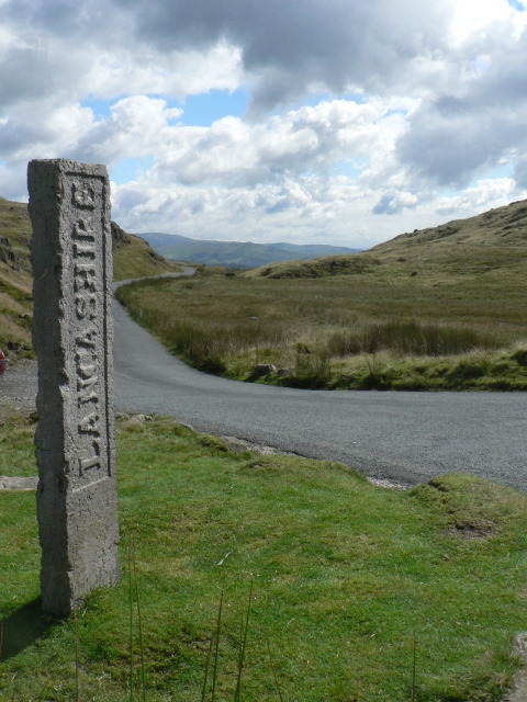
Three Shire Stone (Lake District)

The Three Shire Stone is a boundary stone that marks the location where the historic English counties of Lancashire, Cumberland and Westmorland meet. The...

Ting Mound

The Ting Mound or Thing Moot at Fellfoot Farm, Little Langdale, Cumbria, England is an Ancient Monument (a 'nationally important' archaeological site)...

Pike of Blisco

Pike of Blisco, or Pike o' Blisco, is a mountain in the Lake District in Cumbria, England. Located between the valleys of Great Langdale and Little Langdale...

Wrynose Pass

The Wrynose Pass is a mountain pass in the Lake District National Park in Cumbria, England between the Duddon Valley and Little Langdale. == Etymology... ==

Lingmoor Fell

Lingmoor Fell is a fell in the English Lake District, situated eight kilometres (five miles) west of Ambleside. The fell reaches a height of 469 m (1,540...

Cold Pike

Cold Pike is a fell in the English Lake District. It is a satellite of Crinkle Crags and stands above the Upper Duddon Valley. == Topography == When travelling...

Wetherlam

Wetherlam (763 m) is a mountain in the English Lake District. It is the most northerly of the Coniston Fells, the range of fells to the north-west of Coniston...

Nearby Amenities

Located within 500m of 54.42531,-3.1026142
Blake Rigg
Place: locality
Lat/Long: 54.4261327/-3.1018011
Bleaberry Knott
Place: locality
Lat/Long: 54.427841/-3.104724
Miller Stands
Place: locality
Lat/Long: 54.4223434/-3.0987862
Great Horse Crag
Place: locality
Lat/Long: 54.4218438/-3.1031478
Little Horse Crag
Place: locality
Lat/Long: 54.4229894/-3.1052995
The data included in this document is from www.openstreetmap.org. The data is made available under ODbL.

Have you been to Blake Rigg?

Leave your review of Blake Rigg below (or comments, questions and feedback).