Clint Law
Hill, Mountain in Angus
Scotland
Clint Law

Clint Law, also known as Angus Hill or Angus Mountain, is a prominent geographical feature located in the southern part of Aberdeenshire, Scotland. Rising to an elevation of approximately 1,334 feet (407 meters), it is a popular destination for hikers and nature enthusiasts.
Clint Law is situated within the larger Cairngorms National Park, renowned for its stunning landscapes and diverse wildlife. The mountain is characterized by its distinct rocky summit and undulating slopes, offering breathtaking panoramic views of the surrounding countryside.
The area surrounding Clint Law is rich in natural beauty, with rolling hills, heather-covered moorlands, and picturesque valleys. Visitors to the mountain can expect to encounter a variety of flora and fauna, including native Scottish wildlife such as red deer, golden eagles, and mountain hares.
Hiking is the primary activity on Clint Law, with several well-marked trails leading to the summit. The routes vary in difficulty, catering to both experienced hikers and beginners. Along the way, visitors can appreciate the tranquility of the Scottish Highlands, with its fresh mountain air and serene atmosphere.
Clint Law holds historical significance as well, with traces of ancient settlements and archaeological sites scattered throughout the area. It provides a glimpse into Scotland's rich cultural heritage and the lives of its past inhabitants.
In conclusion, Clint Law, Angus Hill, or Angus Mountain is a stunning natural feature nestled within the picturesque landscapes of Aberdeenshire. Offering breathtaking views, abundant wildlife, and a sense of tranquility, it is a must-visit destination for nature lovers and outdoor enthusiasts alike.
If you have any feedback on the listing, please let us know in the comments section below.
Clint Law Images
Images are sourced within 2km of 56.674503/-3.1684044 or Grid Reference NO2854. Thanks to Geograph Open Source API. All images are credited.


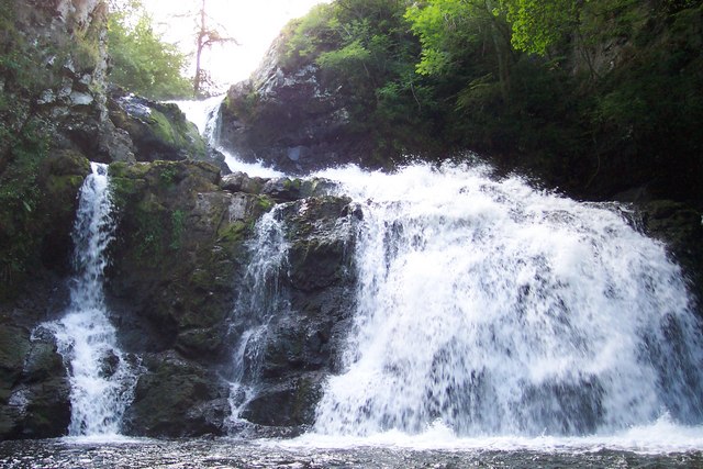
![Crossroads near Loch of Lintrathen B951 junction, right for Balintore and left for Formal via the west shore of the loch - a reservoir of potable water for Dundee. [Lintrathen ~ High water/fast-flowing water]](https://s1.geograph.org.uk/geophotos/05/05/61/5056117_0efb7ec4.jpg)


Clint Law is located at Grid Ref: NO2854 (Lat: 56.674503, Lng: -3.1684044)
Unitary Authority: Angus
Police Authority: Tayside
What 3 Words
///airports.fumes.broached. Near Alyth, Perth & Kinross
Nearby Locations
Related Wikis
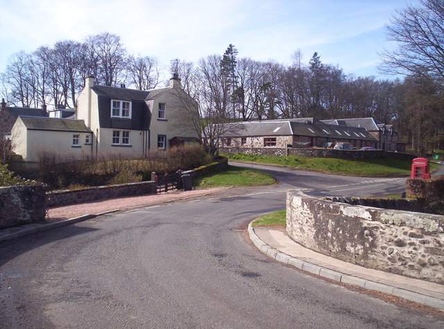
Bridgend of Lintrathen
Bridgend of Lintrathen is a village in Angus, Scotland. It is situated on the southern shore of Loch of Lintrathen, six miles west of Kirriemuir. ��2...

Loch of Lintrathen
Loch of Lintrathen is a man-made loch occupying a glacial basin at the southern end of Glen Isla, approximately 13 kilometres (8.1 mi) west of town of...

Airlie Castle
Airlie Castle is a mansion house in the parish of Airlie, Angus, near the junction of the Isla and Melgund rivers, 9 kilometres west of Kirriemuir, Angus...
Bridge of Craigisla
Bridge of Craigisla is a hamlet in Angus, Scotland. The bridge crosses the River Isla. This settlement lies along the B954 road. == References ==
Nearby Amenities
Located within 500m of 56.674503,-3.1684044Have you been to Clint Law?
Leave your review of Clint Law below (or comments, questions and feedback).