Big Hill
Hill, Mountain in Lancashire South Lakeland
England
Big Hill
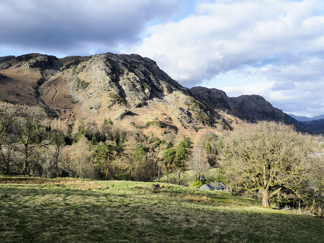
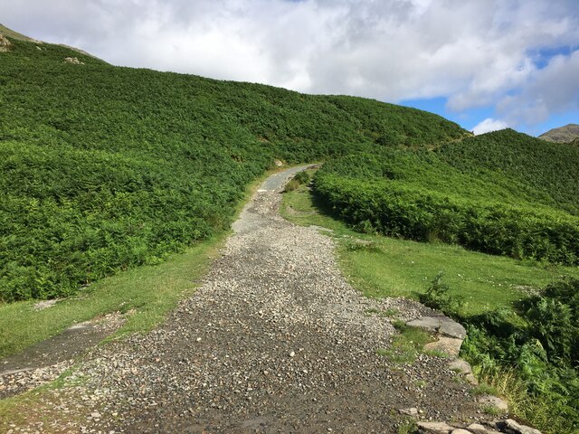
Big Hill is a prominent geographic feature located in the county of Lancashire, England. As the name suggests, it is a large hill that stands prominently in the landscape, offering stunning panoramic views of the surrounding countryside. Situated in the western part of Lancashire, Big Hill is part of the Pennine range, a series of hills and mountains that stretch across northern England.
Rising to an elevation of approximately 450 meters (1,480 feet), Big Hill is a popular destination for hikers, nature enthusiasts, and outdoor adventurers. Its rugged terrain and challenging inclines make it an ideal spot for those seeking a rewarding physical challenge. The hill is known for its diverse flora and fauna, with a variety of plant species and wildlife inhabiting its slopes.
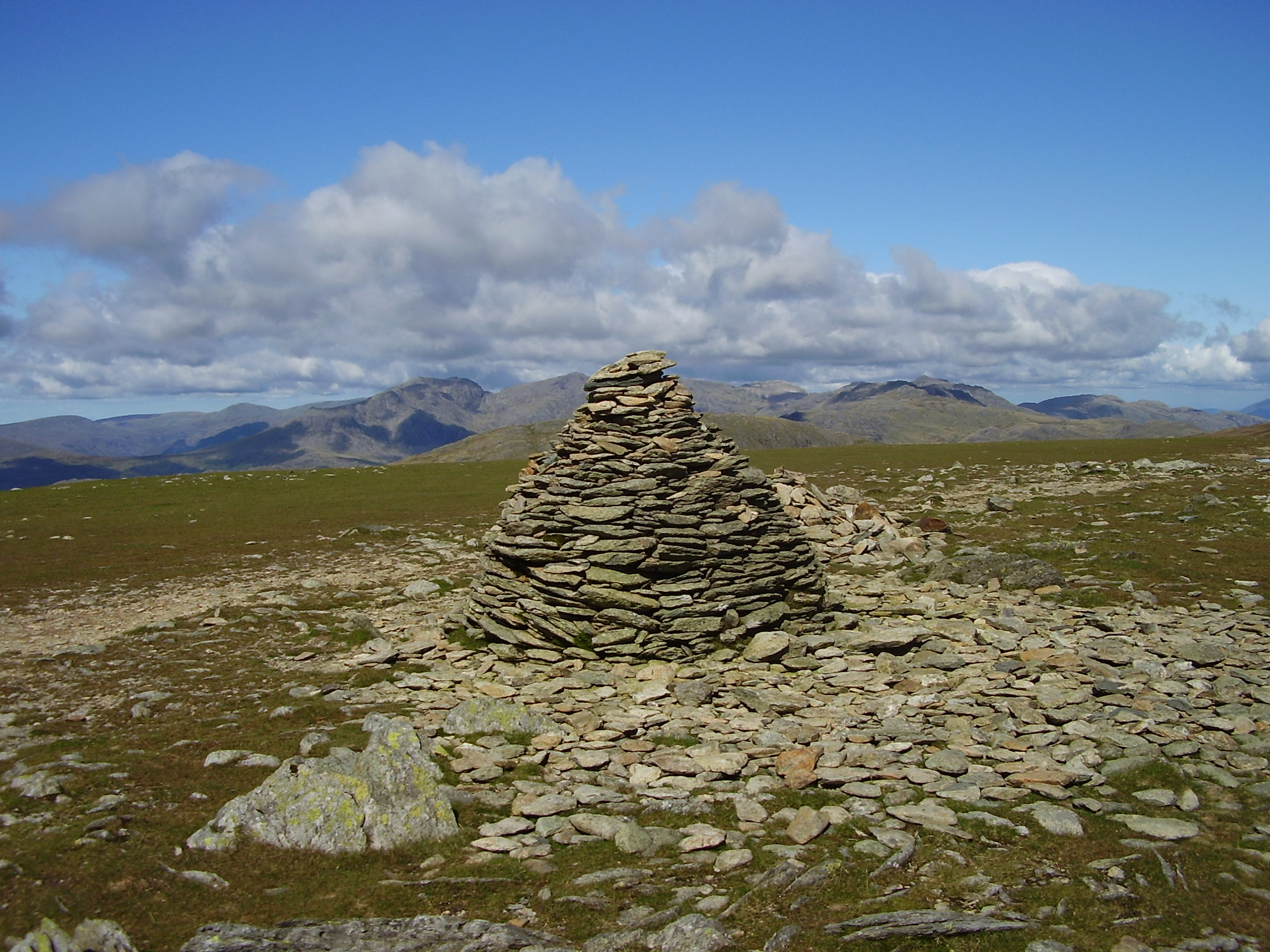
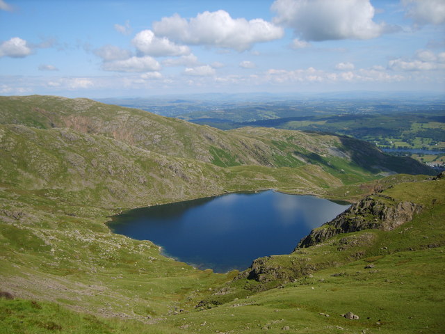
The summit of Big Hill provides breathtaking vistas, showcasing the rolling hills, lush valleys, and picturesque villages that dot the Lancashire countryside. On a clear day, one can even catch a glimpse of the Irish Sea in the distance. The hill is also home to several ancient landmarks, including prehistoric burial mounds and stone circles, which add an element of historical intrigue to the area.
Due to its natural beauty and recreational opportunities, Big Hill attracts visitors from both near and far. It offers a peaceful respite from the hustle and bustle of urban life, providing an opportunity to immerse oneself in the tranquility of nature. Whether it be for a leisurely stroll, a challenging hike, or simply to enjoy the awe-inspiring views, Big Hill remains a cherished destination for both locals and tourists alike.
If you have any feedback on the listing, please let us know in the comments section below.
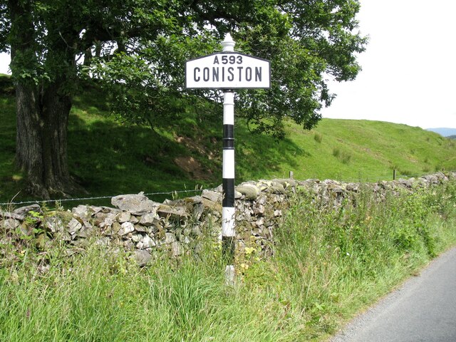
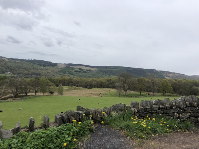
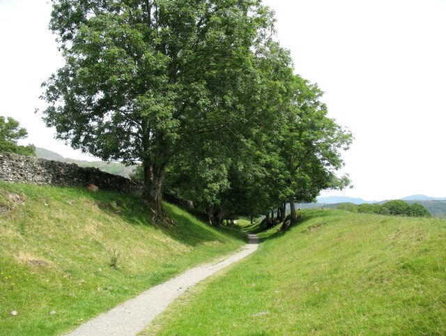
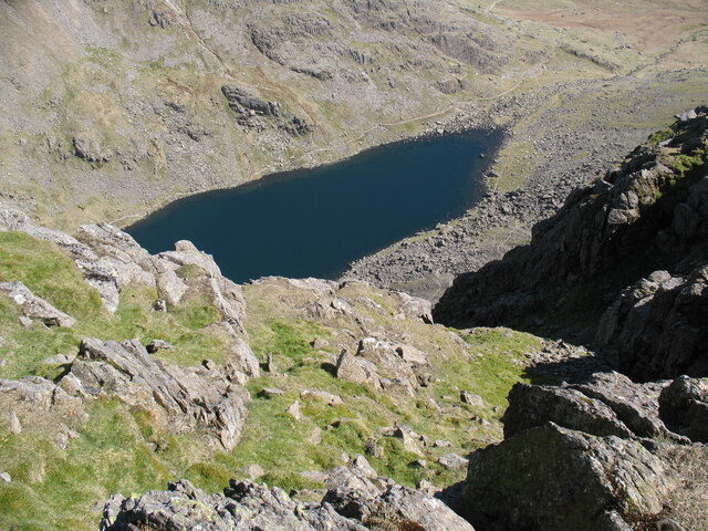
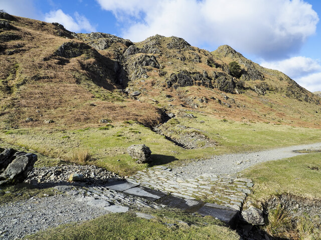
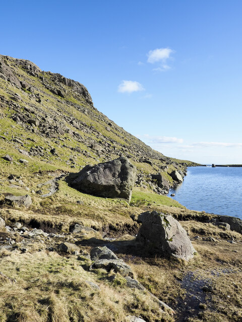
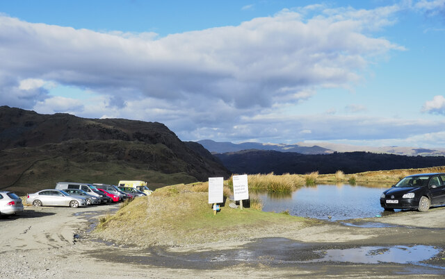
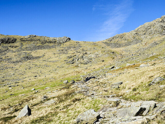
Big Hill Images
Images are sourced within 2km of 54.367864/-3.1042912 or Grid Reference SD2897. Thanks to Geograph Open Source API. All images are credited.


Big Hill is located at Grid Ref: SD2897 (Lat: 54.367864, Lng: -3.1042912)
Administrative County: Cumbria
District: South Lakeland
Police Authority: Cumbria
What 3 Words
///acquaint.mealtime.overgrown. Near Ambleside, Cumbria
Nearby Locations
Related Wikis

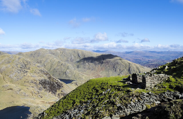
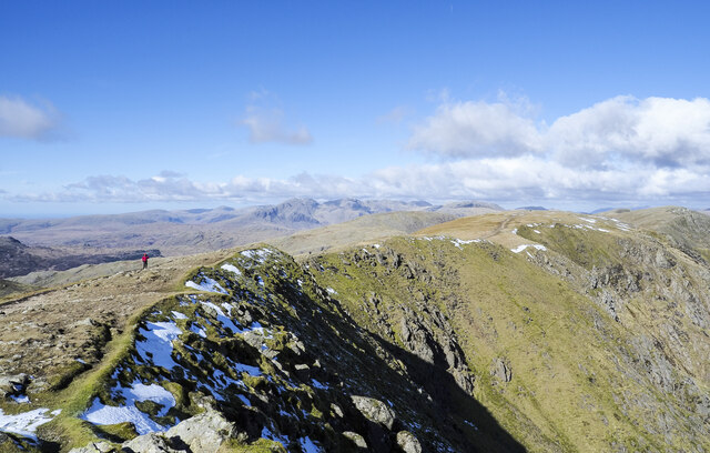
Old Man of Coniston
The Old Man of Coniston is a fell in the Furness Fells of the Lake District in Cumbria, England, and is the highest point (county top) of the historic...

Coniston copper mines
The Coniston copper mines were a copper mining operation in Lancashire, England. It was functional for hundreds of years in Coppermines Valley above Coniston...

Coniston railway station (England)
Coniston railway station was the northern terminus of the Coniston branch line in the village of Coniston, Lancashire, England (now in Cumbria). ��2�...
Brim Fell
Brim Fell is a fell in the English Lake District. It stands to the west of Coniston village in the southern part of the District. == Topography == The...

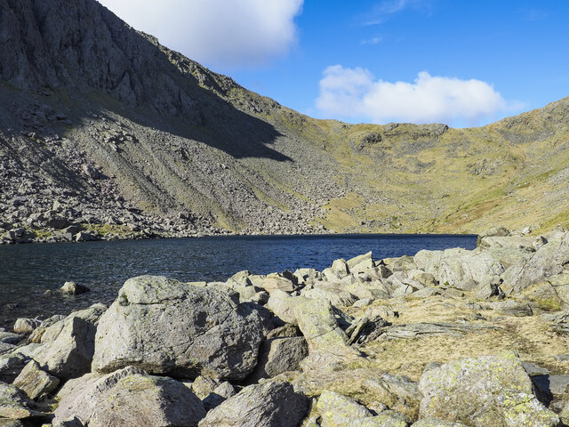
Goat's Water
Goat's Water is a small accessible tarn in the English Lake District, located between Dow Crag and The Old Man of Coniston to the Duddon Valley, near the...

Ruskin Museum
The Ruskin Museum is a small local museum in Coniston, Cumbria, northern England. It was established in 1901 by W. G. Collingwood, an artist and antiquarian...
Levers Water
Levers Water is a small lake in the English Lake District. It is located at the head of the Coppermines Valley, above Coniston village. To its south-west...

John Ruskin School
John Ruskin School (JRS) is an 11–16 school on Lake Road in Coniston, Cumbria. The school is part of the Rural Academy, a group of nine small schools in...
Nearby Amenities
Located within 500m of 54.367864,-3.1042912Have you been to Big Hill?
Leave your review of Big Hill below (or comments, questions and feedback).