Cardie Hill

Hill, Mountain in Peeblesshire

Scotland

Cardie Hill

Remnant of the Wire Bridge, Peebles The post in the foreground appears to be the only surviving part of a former suspension footbridge across the Tweed here. It was a private bridge for the Kingsmeadows estate, connecting with Wire Bridge Cottage, just in view across the river. Further historical background and a photograph of the bridge are given in 'Peebles Remembered' published by The Tweeddale Society in 2005.
Remnant of the Wire Bridge, Peebles Credit: Jim Barton

Cardie Hill is a prominent hill located in Peeblesshire, Scotland. Situated approximately 2 miles southwest of the town of Peebles, it forms part of the rolling hills of the Scottish Borders region. Rising to a height of 422 meters (1,385 feet), Cardie Hill offers breathtaking panoramic views of the surrounding countryside.

The hill is characterized by its gentle slopes and lush green vegetation, making it a popular destination for hikers and nature enthusiasts. Its accessibility and relatively easy ascent make it suitable for people of all ages and fitness levels. Visitors can enjoy a leisurely walk along well-defined paths that wind their way to the summit, taking in the stunning vistas along the way.

Cardie Hill boasts a diverse range of flora and fauna, with heather, bracken, and wildflowers dotting the landscape. Birdwatchers can spot a variety of avian species, including buzzards, kestrels, and pheasants. The hill also provides a habitat for small mammals such as rabbits and hares.

At the top of Cardie Hill, walkers are rewarded with sweeping views of the surrounding countryside, including the nearby Tweed Valley and the picturesque town of Peebles. On clear days, it is even possible to catch a glimpse of the iconic Edinburgh skyline in the distance.

Overall, Cardie Hill is a natural gem that offers a peaceful and picturesque escape for both locals and tourists alike, providing an opportunity to immerse oneself in the beauty of the Scottish Borders.

If you have any feedback on the listing, please let us know in the comments section below.
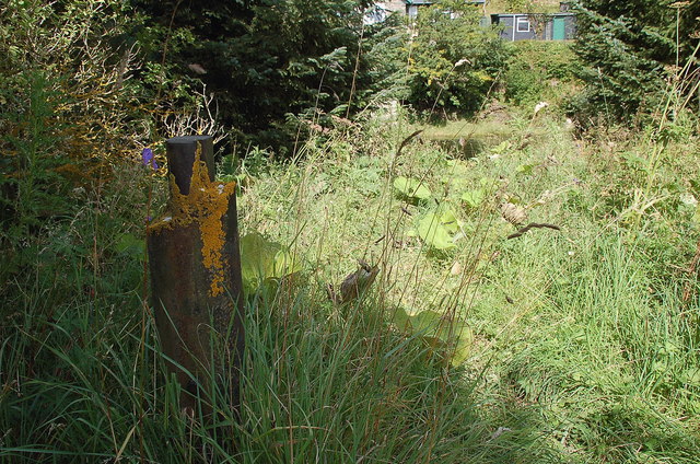
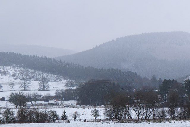
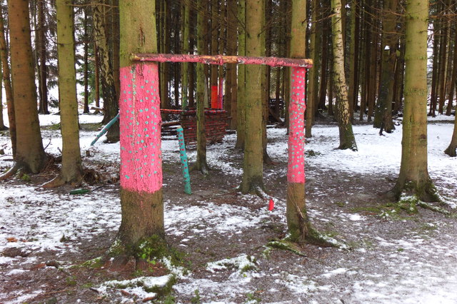
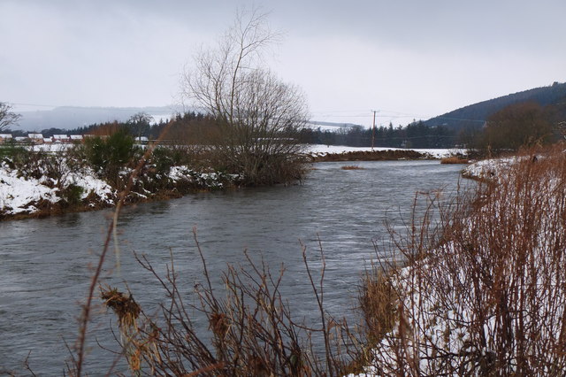
Cardie Hill Images

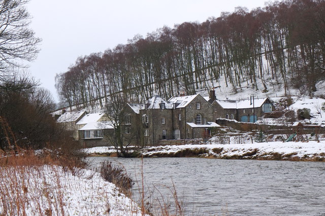
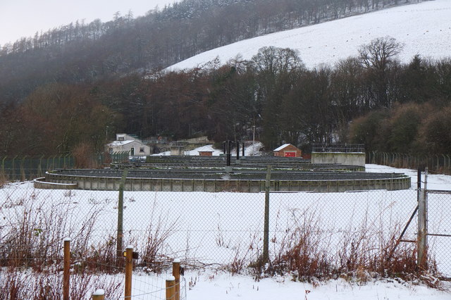
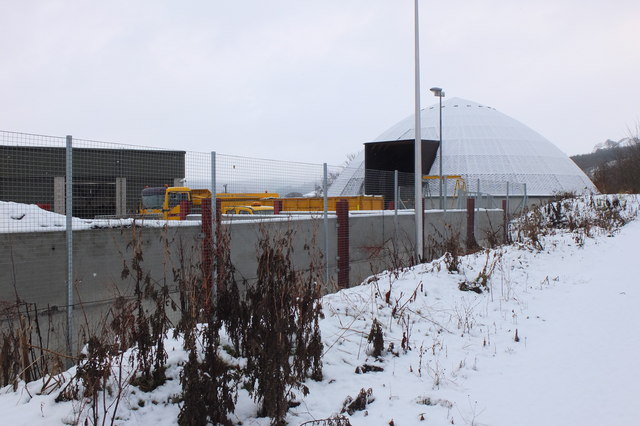
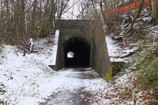
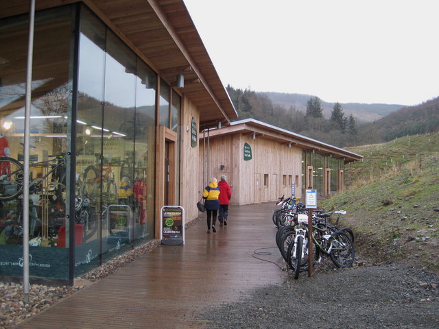
Images are sourced within 2km of 55.658427/-3.150265 or Grid Reference NT2741. Thanks to Geograph Open Source API. All images are credited.

Remnant of the Wire Bridge, Peebles The post in the foreground appears to be the only surviving part of a former suspension footbridge across the Tweed here. It was a private bridge for the Kingsmeadows estate, connecting with Wire Bridge Cottage, just in view across the river. Further historical background and a photograph of the bridge are given in 'Peebles Remembered' published by The Tweeddale Society in 2005.
Remnant of the Wire Bridge, Peebles
The post in the foreground appears to be the only surviving part of a former suspension footbridge across the Tweed here. It was a private bridge for the Kingsmeadows estate, connecting with Wire Bridge Cottage, just in view across the river. Further historical background and a photograph of the bridge are given in 'Peebles Remembered' published by The Tweeddale Society in 2005.
The Hub Cafe, Glentress Packed out as usual and sadly such a good, fair priced cafe as this just had to go. They were denied the chance to bid for the lease for the shiny new facility over the road and closed down by the Forestry Commission.  Apparently this is normal practice once one of their facilities becomes popular, and I have seen a similar enterprise in the Forest of Dean go the same way.  

The bike shop closed today, so no more good value, and quick services for my bikes.
The Hub Cafe, Glentress
Packed out as usual and sadly such a good, fair priced cafe as this just had to go. They were denied the chance to bid for the lease for the shiny new facility over the road and closed down by the Forestry Commission. Apparently this is normal practice once one of their facilities becomes popular, and I have seen a similar enterprise in the Forest of Dean go the same way. The bike shop closed today, so no more good value, and quick services for my bikes.
The Hub - the last day Having done so much for the success of the bike trails in Glentress Forest, today the shop was closed down by the Forestry Commission. They were not allowed to bid for the lease in the new all singing and all dancing centre across the road which we are expected to pay for (not a penny from me! - I'm parking elsewhere and riding in) and they are to be replaced by one of the big Edinburgh shops.

A legend!
The Hub - the last day
Having done so much for the success of the bike trails in Glentress Forest, today the shop was closed down by the Forestry Commission. They were not allowed to bid for the lease in the new all singing and all dancing centre across the road which we are expected to pay for (not a penny from me! - I'm parking elsewhere and riding in) and they are to be replaced by one of the big Edinburgh shops. A legend!
Eshiels and Glentress A view from the old railway route between Cardrona and Peebles on a morning with light snow showers.
Eshiels and Glentress
A view from the old railway route between Cardrona and Peebles on a morning with light snow showers.
Decorated trees, Eshiels Community Woodland Trees with a brighter look at the site of the Eshiels Youth Sculpture Project in this part of the woodland by the Tweed - see also <a href="https://www.geograph.org.uk/photo/1306105">NT2739 : Eshiels Youth Sculpture project</a>.
Decorated trees, Eshiels Community Woodland
Trees with a brighter look at the site of the Eshiels Youth Sculpture Project in this part of the woodland by the Tweed - see also NT2739 : Eshiels Youth Sculpture project.
The Tweed near Scotsmill Looking upstream with some of the new houses at Whitehaugh on the edge of Peebles in view.
The Tweed near Scotsmill
Looking upstream with some of the new houses at Whitehaugh on the edge of Peebles in view.
Scotsmill by the Tweed Houses on the S bank upstream of the Kailzie Estate.
Scotsmill by the Tweed
Houses on the S bank upstream of the Kailzie Estate.
Peebles sewage works Filter beds at Eshiels; the path and cycleway from Cardrona passes to the right, following the former Peebles - Galashiels railway line.
Peebles sewage works
Filter beds at Eshiels; the path and cycleway from Cardrona passes to the right, following the former Peebles - Galashiels railway line.
Ready for winter, Eshiels Depot A silo of road salt and several gritting lorries at the Scottish Borders Council road depot at Eshiels, on the site of a former railway yard and sheds.
Ready for winter, Eshiels Depot
A silo of road salt and several gritting lorries at the Scottish Borders Council road depot at Eshiels, on the site of a former railway yard and sheds.
Eshiels Tunnel The former railway tunnel under the A72 road has been opened up for use in the footpath and cycleway from Peebles to Cardrona. <a href="https://www.geograph.org.uk/photo/1306143">NT2739 : Eastern portal of Eshiels Tunnel</a> and <a href="https://www.geograph.org.uk/photo/1306165">NT2739 : Inside Eshiels Tunnel</a> show the tunnel in 2009 before it was opened up.
Eshiels Tunnel
The former railway tunnel under the A72 road has been opened up for use in the footpath and cycleway from Peebles to Cardrona. NT2739 : Eastern portal of Eshiels Tunnel and NT2739 : Inside Eshiels Tunnel show the tunnel in 2009 before it was opened up.
Peel bike shop and cafe, Glentress The shiny new shop and cafe referred to in <a href="https://www.geograph.org.uk/photo/2685512">NT2839 : The Hub Cafe, Glentress</a>, part of a new development at Glentress with car park, visitor centre and offices.
Peel bike shop and cafe, Glentress
The shiny new shop and cafe referred to in NT2839 : The Hub Cafe, Glentress, part of a new development at Glentress with car park, visitor centre and offices.
Farmland below Falla Brae Grassland by Eshiels and the Glentress mountain bike centre.
Farmland below Falla Brae
Grassland by Eshiels and the Glentress mountain bike centre.
Eshiels Holdings Grassland beneath Glentress Forest and an estate agent's sign.
Eshiels Holdings
Grassland beneath Glentress Forest and an estate agent's sign.
Cavalry Park Industrial estate /business centre on the edge of Peebles.
Cavalry Park
Industrial estate /business centre on the edge of Peebles.
Sign, Whitehaugh Farm A fair bit of the flatter land has recently had houses built upon it.
Sign, Whitehaugh Farm
A fair bit of the flatter land has recently had houses built upon it.
A riverside field Flat grassland beside the Tweed with a view of Lee Pen.
A riverside field
Flat grassland beside the Tweed with a view of Lee Pen.
Tweed Valley Forest Park Gateway building, Glentress A relatively new building above the car park at Glentress Peel opened last year by Forestry Commission Scotland. It houses information displays, showers and changing rooms, toilets and the Tweed valley Wild Watch osprey project.
Tweed Valley Forest Park Gateway building, Glentress
A relatively new building above the car park at Glentress Peel opened last year by Forestry Commission Scotland. It houses information displays, showers and changing rooms, toilets and the Tweed valley Wild Watch osprey project.
Gateway building, Glentress Peel The W end of the visitor centre building with displays on the nearby Tweed valley Forestry Commission Scotland forests.
Gateway building, Glentress Peel
The W end of the visitor centre building with displays on the nearby Tweed valley Forestry Commission Scotland forests.
Show me another place!

Cardie Hill is located at Grid Ref: NT2741 (Lat: 55.658427, Lng: -3.150265)

Unitary Authority: The Scottish Borders

Police Authority: The Lothians and Scottish Borders

What 3 Words

///below.mason.parsnip. Near Peebles, Scottish Borders

Related Wikis

Peebles Hydro

Peebles Hydro is an early 20th century hotel and spa resort in Peebles, in the historic county of Peebles-shire in the Scottish Borders. It is one of...
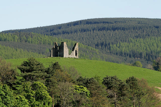
Horsburgh Castle

Horsburgh Castle, also known as Horsbrugh Castle or Horsbrugh Tower, is a ruined tower house castle by the River Tweed, on the A72 road from Peebles to...

Whitestone Park

Whitestone Park is a sports ground in Peebles, Scottish Borders, Scotland, used for football and cricket. It has been the home ground of Peebles Rovers...

Peebles railway station (1864)

Peebles railway station was the second site of the railway station in Peebles, Peeblesshire, Scotland from 1864 to 1962 on the Peebles Railway. == History... ==

Nearby Amenities

Located within 500m of 55.658427,-3.150265
Mountain Bike Skills Area
Place: locality
Lat/Long: 55.6604583/-3.1547618
Tourism: picnic_site
Lat/Long: 55.6585474/-3.1500483
Tourism: picnic_site
Lat/Long: 55.6585564/-3.1498368
Bench
Backrest: yes
Lat/Long: 55.6555825/-3.1460676
Information: guidepost
Mtb: yes
Tourism: information
Lat/Long: 55.65857/-3.1502349
Leisure: picnic_table
Lat/Long: 55.65843/-3.148822
Board Type: sport
Information: board
Tourism: information
Lat/Long: 55.6585671/-3.1496725
The data included in this document is from www.openstreetmap.org. The data is made available under ODbL.

Have you been to Cardie Hill?

Leave your review of Cardie Hill below (or comments, questions and feedback).