The Maim

Hill, Mountain in Aberdeenshire

Scotland

The Maim

Passing Place Sign on B976 near Crathie
Passing Place Sign on B976 near Crathie Credit: Alex Passmore

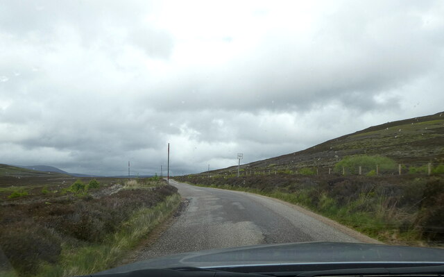
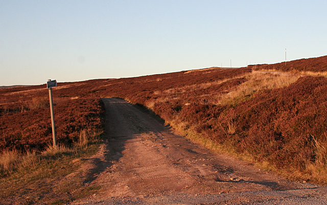
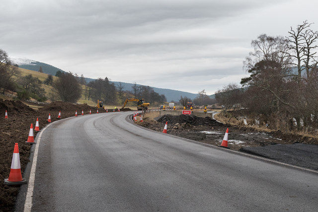
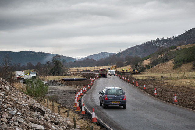
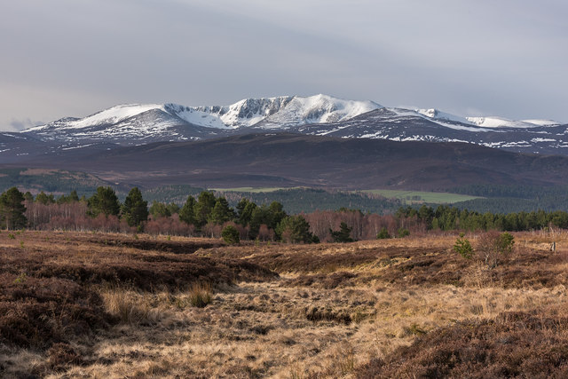
The Maim is a prominent hill located in Aberdeenshire, Scotland. Rising to an elevation of approximately 2,697 feet (822 meters), it stands as an impressive landmark in the area. Situated in the eastern part of the Cairngorms National Park, The Maim offers breathtaking panoramic views of the surrounding landscape.

This hill is known for its rugged and rocky terrain, which presents a challenge for hikers and climbers. The ascent to the summit can be demanding, but it is rewarded with stunning vistas of the Scottish Highlands. On clear days, one can observe the vast expanse of rolling hills, deep valleys, and shimmering lochs from the top.

The Maim is a popular destination for outdoor enthusiasts seeking adventure and exploration. Its location within the Cairngorms National Park provides opportunities for various activities such as hiking, mountaineering, and wildlife spotting. The region is home to a diverse range of flora and fauna, including red deer, golden eagles, and ptarmigan.

Visitors to The Maim should come prepared with appropriate clothing and equipment, as the weather conditions can change rapidly, even during the summer months. It is advisable to consult local guides or experienced hikers before attempting the ascent, especially for those with limited experience in mountainous terrain.

Overall, The Maim offers a thrilling and rewarding experience for nature lovers and outdoor enthusiasts, showcasing the beauty and grandeur of the Aberdeenshire landscape.

If you have any feedback on the listing, please let us know in the comments section below.

The Maim Images

Images are sourced within 2km of 57.060407/-3.1933818 or Grid Reference NO2797. Thanks to Geograph Open Source API. All images are credited.

Passing Place Sign on B976 near Crathie
Young trees, Geallaig Hill Above the B976.
Young trees, Geallaig Hill
Above the B976.
Gairnshiel to Crathie Road The poles on either side of the road are to help find and stay on the road during times of snow. In the distance is Lochnagar.
Gairnshiel to Crathie Road
The poles on either side of the road are to help find and stay on the road during times of snow. In the distance is Lochnagar.
Moorland above Crathie The withered grass and heather on this rather featureless stretch of moor is given a red tinge by the late afternoon sun.
Moorland above Crathie
The withered grass and heather on this rather featureless stretch of moor is given a red tinge by the late afternoon sun.
Moorland Fence This looks like quite a new fence parallel to the road from Crathie to Gairnshiel.
Moorland Fence
This looks like quite a new fence parallel to the road from Crathie to Gairnshiel.
Track to Tomintoul The sign tells me that the track goes to Tomintoul via Loch Builg. On the right is the road from Crathie to Gairnshiel. The red colour is from the setting sun.
Track to Tomintoul
The sign tells me that the track goes to Tomintoul via Loch Builg. On the right is the road from Crathie to Gairnshiel. The red colour is from the setting sun.
New road at Micras The flood of December 2015 caused severe erosion of the banks of the River Dee at Micras.  Part of the A93 road from Ballater to Braemar collapsed into the river however Aberdeenshire Council quickly constructed a temporary road to bypass the damaged section.
New road at Micras
The flood of December 2015 caused severe erosion of the banks of the River Dee at Micras. Part of the A93 road from Ballater to Braemar collapsed into the river however Aberdeenshire Council quickly constructed a temporary road to bypass the damaged section.
New road at Micras The flood of December 2015 caused severe erosion of the banks of the River Dee at Micras. Part of the A93 road from Ballater to Braemar collapsed into the river however Aberdeenshire Council quickly constructed a temporary road to bypass the damaged section.
New road at Micras
The flood of December 2015 caused severe erosion of the banks of the River Dee at Micras. Part of the A93 road from Ballater to Braemar collapsed into the river however Aberdeenshire Council quickly constructed a temporary road to bypass the damaged section.
Geallaig Hill (west ridge) Looking towards Geallaig Hill from the cairn on the west ridge of Geallaig Hill.
Geallaig Hill (west ridge)
Looking towards Geallaig Hill from the cairn on the west ridge of Geallaig Hill.
Torgalter Burn Morning light on the moorland above Torgalter below The Maim.  Lochnagar is in the distance.
Torgalter Burn
Morning light on the moorland above Torgalter below The Maim. Lochnagar is in the distance.
Torgalter Burn The burn drains the moorland below The Maim.
Torgalter Burn
The burn drains the moorland below The Maim.
On The Strone Looking over the Gellaig moors. There is a new fence beside the B976.
On The Strone
Looking over the Gellaig moors. There is a new fence beside the B976.
Moorland, The Strone Rapidly deteriorating weather, looking west from the B976.
Moorland, The Strone
Rapidly deteriorating weather, looking west from the B976.
B976, The Strone Moorland on the north side of Geallaig.
B976, The Strone
Moorland on the north side of Geallaig.
October Snow I was amazed, and I have to admit not best pleased, to find that there was snow lying beside the A93, B976, A939 and B9008. October is far too early in the year for lying snow on the roads! Especially on roads like this that aren't routinely ploughed and consequently end up with a ridge of snow in the middle of the road. This is the part of the road over the Strone, the hill on the left.
October Snow
I was amazed, and I have to admit not best pleased, to find that there was snow lying beside the A93, B976, A939 and B9008. October is far too early in the year for lying snow on the roads! Especially on roads like this that aren't routinely ploughed and consequently end up with a ridge of snow in the middle of the road. This is the part of the road over the Strone, the hill on the left.
Road through woodland, crossing a cattle grid
Road through woodland looking south
Show me another place!

The Maim is located at Grid Ref: NO2797 (Lat: 57.060407, Lng: -3.1933818)

Unitary Authority: Aberdeenshire

Police Authority: North East

What 3 Words

///braced.swooning.transmitted. Near Ballater, Aberdeenshire

Nearby Locations

The Maim

Related Wikis

Abergeldie Castle

Abergeldie Castle is a four-floor tower house in Crathie and Braemar parish, SW Aberdeenshire, Scotland. It stands at an altitude of 840 feet (260 m),...
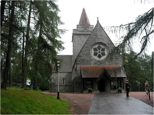
Crathie Kirk

Crathie Kirk is a small Church of Scotland parish church in the Scottish village of Crathie, best known for being the regular place of worship of the British...

Crathie, Aberdeenshire

Crathie (Scottish Gaelic: Craichidh) is a village in Aberdeenshire, Scotland. It stands on the north bank of the River Dee. Abergeldie Castle is 1 mile...
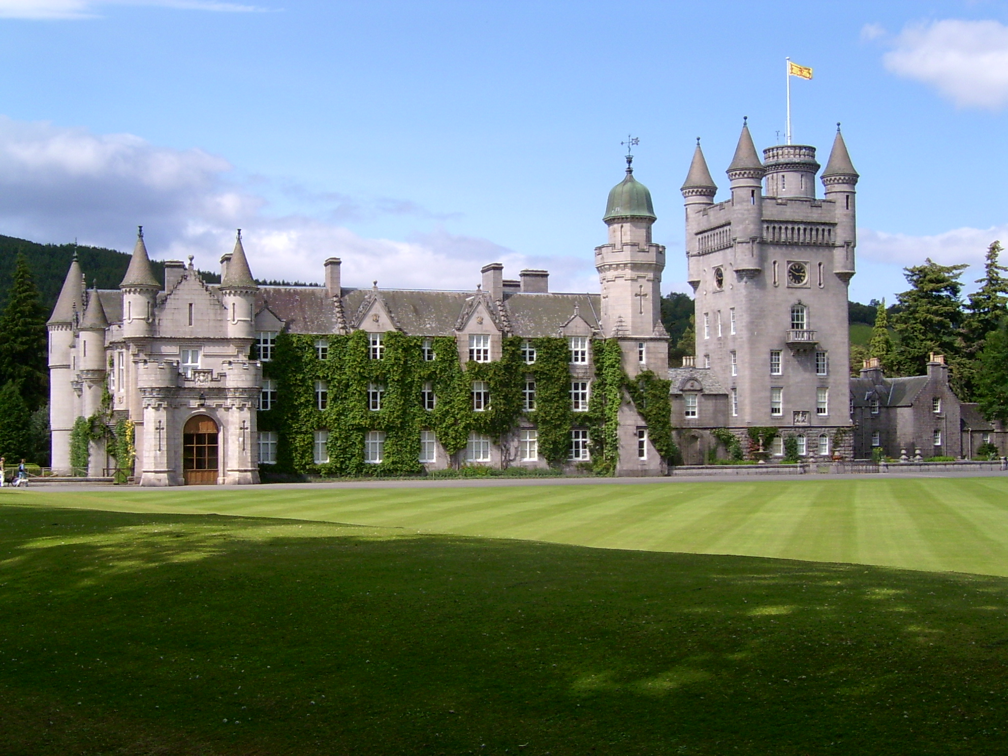
Balmoral Castle

Balmoral Castle () is a large estate house in Aberdeenshire, Scotland, and a residence of the British royal family. It is near the village of Crathie,...

Nearby Amenities

Located within 500m of 57.060407,-3.1933818
Ele: 601
Natural: peak
Lat/Long: 57.0609106/-3.193965
The data included in this document is from www.openstreetmap.org. The data is made available under ODbL.

Have you been to The Maim?

Leave your review of The Maim below (or comments, questions and feedback).