Milky Law

Hill, Mountain in Peeblesshire

Scotland

Milky Law

Row of Cottages at Harcus North of Eddleston in Peeblesshire.
Row of Cottages at Harcus Credit: James Denham

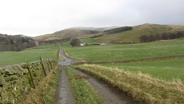
Milky Law is a prominent hill located in Peeblesshire, Scotland. Standing at an elevation of 1,693 feet (516 meters), it is a popular destination for hikers and outdoor enthusiasts seeking stunning views of the surrounding countryside. The hill is part of the Southern Uplands range and is known for its rugged terrain and challenging ascent.

Milky Law is characterized by its steep slopes and rocky outcrops, making it a rewarding climb for experienced hikers looking for a bit of a challenge. The summit offers panoramic views of the rolling hills and valleys of Peeblesshire, as well as glimpses of nearby towns and villages.

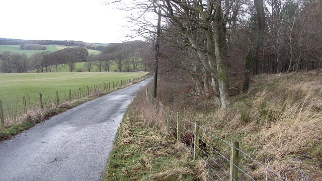
The hill is accessible via several established hiking trails, with the most common starting point being the nearby town of Peebles. The surrounding area is rich in natural beauty, with lush greenery, wildflowers, and wildlife adding to the charm of the landscape.

Overall, Milky Law is a must-visit destination for outdoor enthusiasts looking to explore the rugged beauty of the Scottish countryside and enjoy a challenging hike with rewarding views.

If you have any feedback on the listing, please let us know in the comments section below.
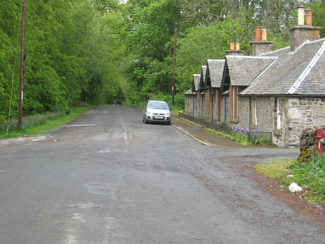
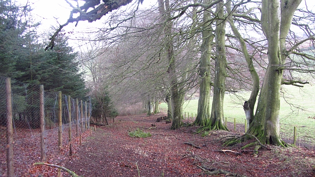
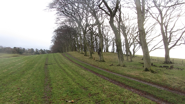
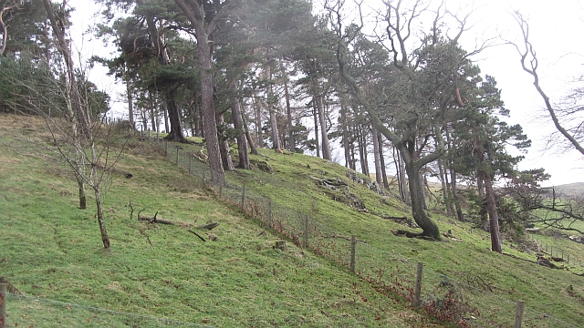
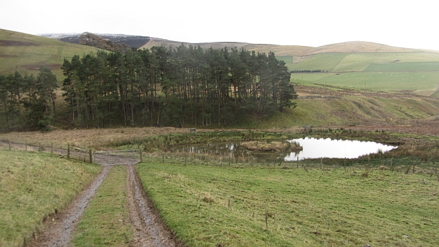
Milky Law Images

Images are sourced within 2km of 55.719927/-3.1729432 or Grid Reference NT2648. Thanks to Geograph Open Source API. All images are credited.

Row of Cottages at Harcus North of Eddleston in Peeblesshire.
Row of Cottages at Harcus
North of Eddleston in Peeblesshire.
Forest road junction One of the original roads from when the forest was planted goes straight on past a contractor's caravan. The widened and much more heavily used road to the right goes on up to Bowbeat Hill and the power station.
Forest road junction
One of the original roads from when the forest was planted goes straight on past a contractor's caravan. The widened and much more heavily used road to the right goes on up to Bowbeat Hill and the power station.
Road on Bowbeat Hill The road climbs easily to the Moorfoot plateau where there is a wind farm.
Road on Bowbeat Hill
The road climbs easily to the Moorfoot plateau where there is a wind farm.
Boreland An untarred farm road soon joins the tarred main access for the farm. There is a dusting on Dundreich in the background.
Boreland
An untarred farm road soon joins the tarred main access for the farm. There is a dusting on Dundreich in the background.
Road to Boreland A farm access road, it passes The Grove,a deciduous woodland which contained a calling nuthatch.
Road to Boreland
A farm access road, it passes The Grove,a deciduous woodland which contained a calling nuthatch.
The Grove Woodland, mostly deciduous with oaks beyond the conifers, left.
The Grove
Woodland, mostly deciduous with oaks beyond the conifers, left.
Strip wood, Boreland A beech strip.
Strip wood, Boreland
A beech strip.
Dog Knowes Pine wood on a craggy hillside.
Dog Knowes
Pine wood on a craggy hillside.
Flight pool, Longcote Artificial pool for attracting wildfowl.
Flight pool, Longcote
Artificial pool for attracting wildfowl.
Greenfield Knowe Looking up from near the Longcote Burn towards the site of Crow Wood, now reduced to a few trees around its perimeter.
Greenfield Knowe
Looking up from near the Longcote Burn towards the site of Crow Wood, now reduced to a few trees around its perimeter.
Path on Hog Hill A grassy path which contours steep ground before losing its identity in easy angled farmland above Eddleston School. A delight.
Path on Hog Hill
A grassy path which contours steep ground before losing its identity in easy angled farmland above Eddleston School. A delight.
Winter fodder above, Eddleston Sheep on a mix of turnips and kale.
Winter fodder above, Eddleston
Sheep on a mix of turnips and kale.
Boreland A green interlude before the snow came back. There was hardly any debris on the ground, the previous day's gale had passed to the north.
Boreland
A green interlude before the snow came back. There was hardly any debris on the ground, the previous day's gale had passed to the north.
Borrow pit, Dog Knowes A hole in the ground, probably dug for stone. There is an area of strong, resistant stone here.
Borrow pit, Dog Knowes
A hole in the ground, probably dug for stone. There is an area of strong, resistant stone here.
Longcote A gentle side valley descends to the Longcote Burn by the trees.
Longcote
A gentle side valley descends to the Longcote Burn by the trees.
Longcote Burn Wet glen with friendly mist on the Moorfoot Hills. Friendly? It's hiding the wind farm on Bowbeat Hill.
Longcote Burn
Wet glen with friendly mist on the Moorfoot Hills. Friendly? It's hiding the wind farm on Bowbeat Hill.
Black Burn Looking up the Black Burn from Hog Hill's wonderful balcony path towards Burnhead.
Black Burn
Looking up the Black Burn from Hog Hill's wonderful balcony path towards Burnhead.
Path on Hog Hill A grassy path which contours steep ground before losing its identity in easy angled farmland above Eddleston School. A delight.
Path on Hog Hill
A grassy path which contours steep ground before losing its identity in easy angled farmland above Eddleston School. A delight.
Show me another place!

Milky Law is located at Grid Ref: NT2648 (Lat: 55.719927, Lng: -3.1729432)

Unitary Authority: The Scottish Borders

Police Authority: The Lothians and Scottish Borders

What 3 Words

///pocket.gosh.playroom. Near Peebles, Scottish Borders

Nearby Locations

Milky Law

Related Wikis

Northshield Rings

Northshield Rings is a prehistoric site, a hillfort near the village of Eddleston and about 6 miles (10 km) north of Peebles, in the Scottish Borders,...

Eddleston

Eddleston (Scottish Gaelic: Baile Ghille Mhoire) is a small village and civil parish in the Scottish Borders area of Scotland. It lies 4 miles (6.4 km...

Darnhall Mains

Darnhall Mains is a farm and settlement off the A703, near Eddleston and the Eddleston Water in the Scottish Borders area of Scotland, in the former Peeblesshire...

Eddleston railway station

Eddleston railway station served the village of Eddleston, Scottish Borders, Scotland from 1855 to 1962 on the Peebles Railway. == History == The station...

Nearby Amenities

Located within 500m of 55.719927,-3.1729432
Milky Law
Place: locality
Lat/Long: 55.7168147/-3.1776634
Ele: 457
Natural: peak
Lat/Long: 55.7200067/-3.1727282
The data included in this document is from www.openstreetmap.org. The data is made available under ODbL.

Have you been to Milky Law?

Leave your review of Milky Law below (or comments, questions and feedback).