Ballo Hill

Hill, Mountain in Perthshire

Scotland

Ballo Hill

Smith Loch and Smithton Hill Most of this square is a newly planted conifer plantation, broken up by heathery moorland. The swampy area of Smith Loch is the most prominent 'feature' in the landscape. Hard going.
Smith Loch and Smithton Hill Credit: Aleks Scholz

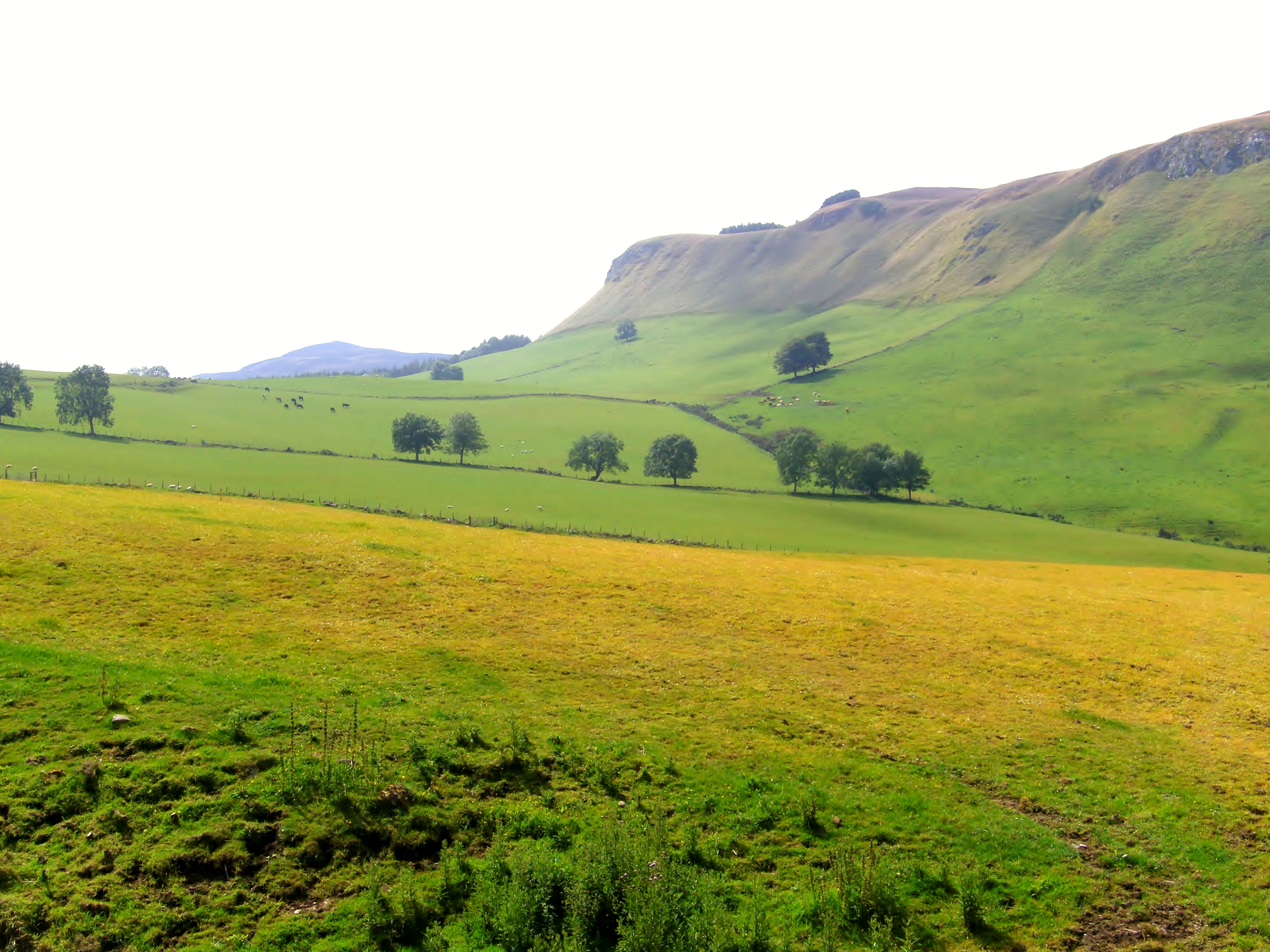
Ballo Hill is a prominent natural feature located in Perthshire, Scotland. Situated in the eastern part of the region, the hill is a well-known landmark that offers breathtaking views of the surrounding countryside. With an elevation of approximately 170 meters (557 feet), Ballo Hill is categorized as a hill rather than a mountain.

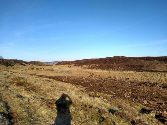
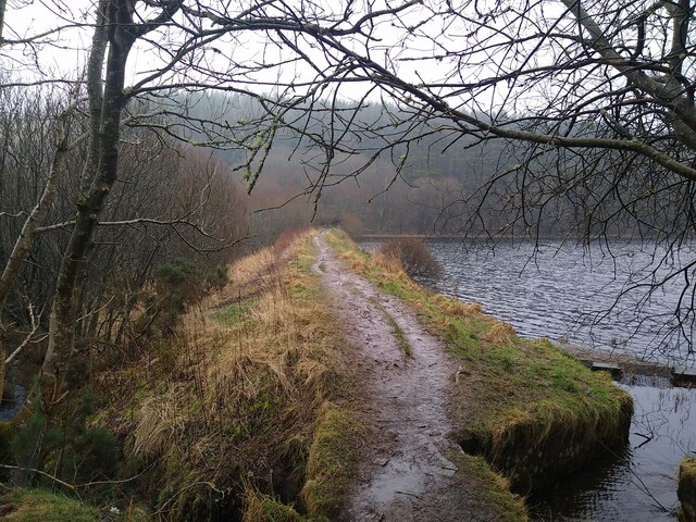
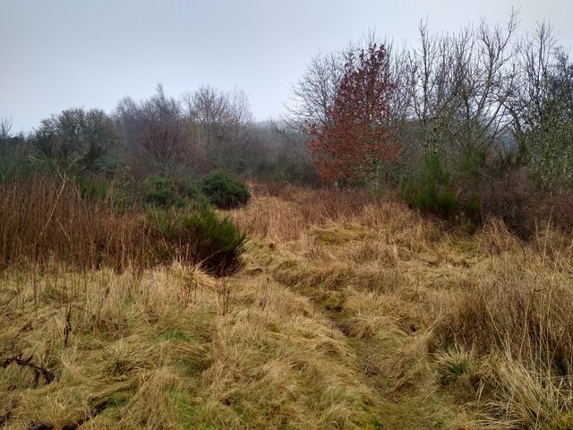
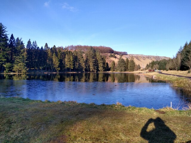
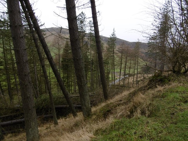
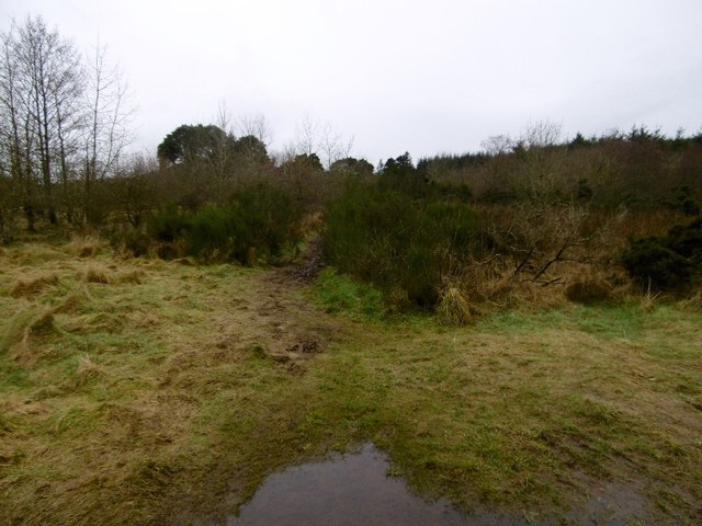
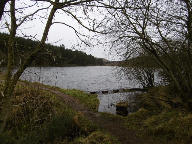
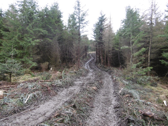
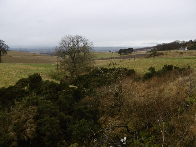
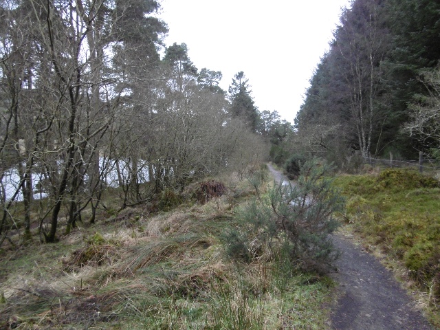
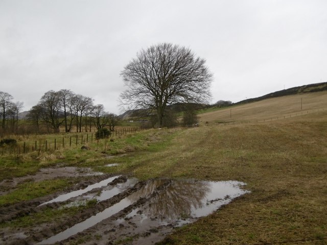
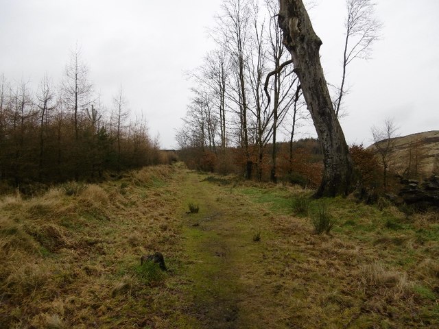
Covered in lush green vegetation, Ballo Hill is a popular destination for hikers, nature enthusiasts, and locals seeking outdoor activities. The hill boasts a network of well-maintained trails that cater to varying levels of difficulty, making it accessible to individuals of all fitness levels. Visitors can explore the hill's diverse flora and fauna, including native Scottish plants and wildlife, while enjoying the fresh air and tranquility of the area.

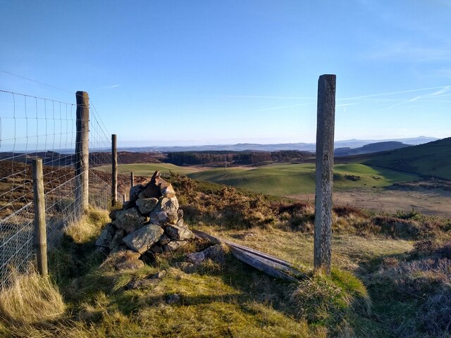
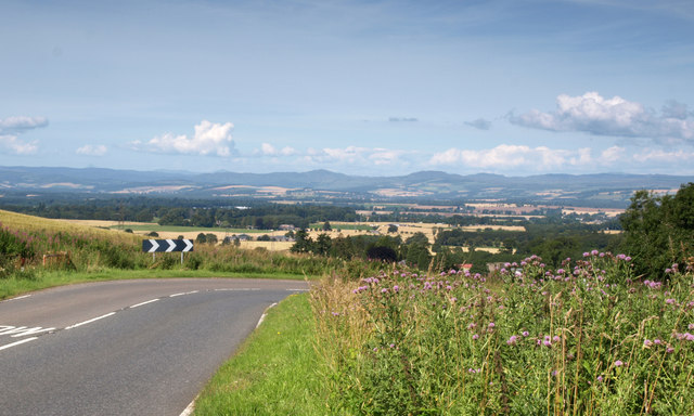
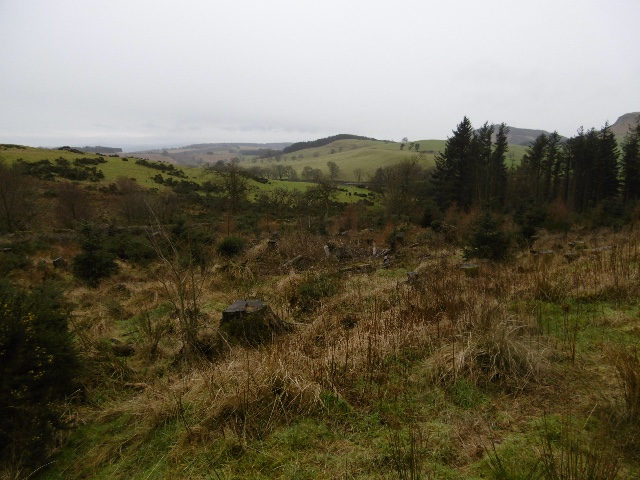
At the summit of Ballo Hill, visitors are rewarded with panoramic views of the picturesque Perthshire landscape. On clear days, one can catch glimpses of the nearby towns and villages, as well as the majestic Grampian Mountains in the distance. The hill's strategic location also provides an ideal spot for photographers looking to capture stunning shots of the surrounding countryside.

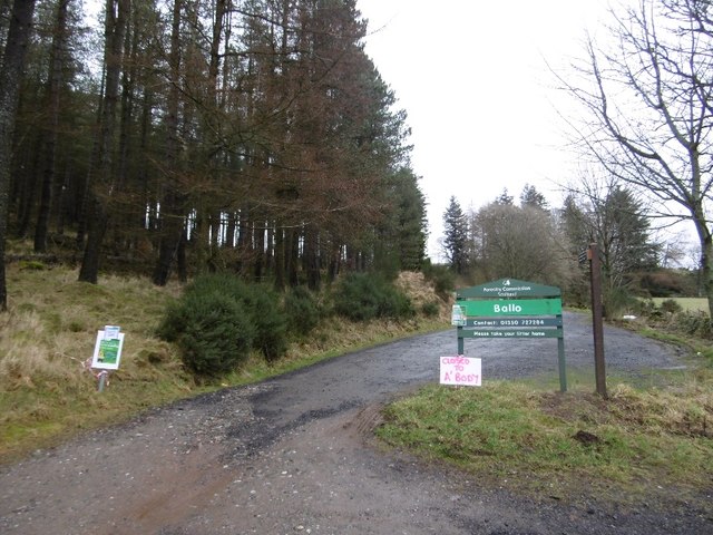
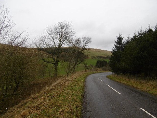
Ballo Hill is easily accessible from nearby towns and villages, and ample parking is available for visitors. Its natural beauty, diverse ecosystems, and stunning views make it an attractive destination for outdoor enthusiasts and nature lovers alike.

If you have any feedback on the listing, please let us know in the comments section below.

Ballo Hill Images

Images are sourced within 2km of 56.502912/-3.1970757 or Grid Reference NO2635. Thanks to Geograph Open Source API. All images are credited.

Smith Loch and Smithton Hill Most of this square is a newly planted conifer plantation, broken up by heathery moorland. The swampy area of Smith Loch is the most prominent 'feature' in the landscape. Hard going.
Smith Loch and Smithton Hill
Most of this square is a newly planted conifer plantation, broken up by heathery moorland. The swampy area of Smith Loch is the most prominent 'feature' in the landscape. Hard going.
Tullybaccart viewpoint This small cairn marks the highest point of the land around the Tullybaccart quarry. The point is surrounded mostly by tree plantations. This is the view towards the south into Fife - the Lomond hills on the horizon on the right.
Tullybaccart viewpoint
This small cairn marks the highest point of the land around the Tullybaccart quarry. The point is surrounded mostly by tree plantations. This is the view towards the south into Fife - the Lomond hills on the horizon on the right.
Laird's Loch dam This is the western limit of Laird's Loch, on a day with low clouds.
Laird's Loch dam
This is the western limit of Laird's Loch, on a day with low clouds.
This is a path It's hard to tell, but this is a path that branches off the main track to Laird's Loch, and leads towards Ballo Hill. It eventually reaches a fence, but a network of similarly faint and muddy tracks covers the slopes south of the loch.
This is a path
It's hard to tell, but this is a path that branches off the main track to Laird's Loch, and leads towards Ballo Hill. It eventually reaches a fence, but a network of similarly faint and muddy tracks covers the slopes south of the loch.
Ledcrieff Loch The loch seen from the dam at its western edge.
Ledcrieff Loch
The loch seen from the dam at its western edge.
Bend on A923 With a view in the direction of Pitcur and Coupar Angus.
Bend on A923
With a view in the direction of Pitcur and Coupar Angus.
Ballo Glack Looking down on the road from the forest on Northballo Hill.
Ballo Glack
Looking down on the road from the forest on Northballo Hill.
Path to Laird's Loch A muddy narrow path through undergrowth - well used though, I wheeled a bike across and somebody carried an inflatable canoe through a few minutes earlier.
Path to Laird's Loch
A muddy narrow path through undergrowth - well used though, I wheeled a bike across and somebody carried an inflatable canoe through a few minutes earlier.
Car park, North Ballo Lots of closure notices due to felling by the Laird's Loch.  No notices on the other side and I got through from Laird's Loch without problems   - it was a Saturday and also looked like the timber extraction work was complete.
Car park, North Ballo
Lots of closure notices due to felling by the Laird's Loch. No notices on the other side and I got through from Laird's Loch without problems - it was a Saturday and also looked like the timber extraction work was complete.
Laird's Loch Outflow beside the dam.
Laird's Loch
Outflow beside the dam.
Timber tracks The block to the south of Laird's Loch had been recently felled and the timber extracted by this track to a logging road further up Northballo Hill.  Great news as the track to the south of Northballo Hill was undamaged.
Timber tracks
The block to the south of Laird's Loch had been recently felled and the timber extracted by this track to a logging road further up Northballo Hill. Great news as the track to the south of Northballo Hill was undamaged.
Woodland, Northballo Hill A replanted area gives a view out of the forest.
Woodland, Northballo Hill
A replanted area gives a view out of the forest.
Tullybachart A view down the Kettins Burn, or what will become the Kettins Burn from the farm driveway.
Tullybachart
A view down the Kettins Burn, or what will become the Kettins Burn from the farm driveway.
Path beside Laird's Loch After the muddy bit in the Hallyburton Community Wood, a solid surface passing the loch.
Path beside Laird's Loch
After the muddy bit in the Hallyburton Community Wood, a solid surface passing the loch.
Stubble, Little Ballo Stubble covered slopes of Little Ballo Hill beside a wetland area.
Stubble, Little Ballo
Stubble covered slopes of Little Ballo Hill beside a wetland area.
Yellow road, Little Ballo
Old alignment, A923 The road was rebuilt taking out this bend sometime before 1959 according to old maps. Now this is a yellow road down to Lundie.
Old alignment, A923
The road was rebuilt taking out this bend sometime before 1959 according to old maps. Now this is a yellow road down to Lundie.
Priest's Road, Little Ballo The Forestry Commission bit.
Priest's Road, Little Ballo
The Forestry Commission bit.
Show me another place!

Ballo Hill is located at Grid Ref: NO2635 (Lat: 56.502912, Lng: -3.1970757)

Unitary Authority: Perth and Kinross

Police Authority: Tayside

What 3 Words

///disengage.flushed.intervene. Near Coupar Angus, Perth & Kinross

Nearby Locations

Lochindores Ballo Hill

Related Wikis

Northballo Hill

Northballo Hill is one of the hills of the Sidlaw range in South East Perthshire, and is located near Coupar Angus. It is popular with dog walkers and...

Sidlaws

The Sidlaws are a range of hills in the counties of Perthshire and Angus in Scotland that extend for 30 miles (45 km) from Kinnoull Hill, near Perth, northeast...

Pitcur

Pitcur is a hamlet at the eastern edge of Perth and Kinross, Scotland, about 2.5 miles (4.0 km) southeast of Coupar Angus.It is home to the ruined 16th...

Gask Hill

Gask Hill is one of the least climbed hills of the Sidlaw range in south east Perthshire, Scotland. Gask Hill is located near Coupar Angus and is seen...

Lundie

Lundie is a parish and small settlement in Angus, Scotland, 10 miles (16 km) northwest of Dundee, situated at the head of the Dighty valley in the Sidlaws...

Lundie Kirk

Lundie Kirk was the parish church of Lundie, Angus, in Scotland from the 12th century until 2017. The church was constructed in Romanesque style in the...

Lundie Craigs

Lundie Craigs/Westerkeith Hill is one of the hills of the Sidlaw range in South East Perthshire.Lundie Craigs/Westerkeith Hill is located near Coupar Angus...

King's Seat

King's Seat (Scottish Gaelic: Ceann Sidhe) is one of the principal hills of the Sidlaw range in South East Perthshire. At 377 metres (1,237 ft), it is...

Nearby Amenities

Located within 500m of 56.502912,-3.1970757
Man Made: tower
Lat/Long: 56.502601/-3.1975386
Barrier: stile
Lat/Long: 56.5055959/-3.2009132
Ballo Hill
Ele: 301
Natural: peak
Lat/Long: 56.5025987/-3.1975526
Power: tower
Lat/Long: 56.5055033/-3.1908227
Little Ballo
Place: isolated_dwelling
Lat/Long: 56.498824/-3.19501
Power: pole
Lat/Long: 56.4990888/-3.2011959
Power: pole
Lat/Long: 56.4985685/-3.1968549
Power: pole
Lat/Long: 56.4989555/-3.1960689
Power: pole
Lat/Long: 56.4993227/-3.1953253
Power: pole
Lat/Long: 56.4997027/-3.1945584
Power: pole
Lat/Long: 56.5001178/-3.1934059
Power: pole
Lat/Long: 56.5005049/-3.1927386
Power: pole
Lat/Long: 56.5008849/-3.1920691
Power: pole
Lat/Long: 56.5012626/-3.1914229
Power: pole
Lat/Long: 56.5017127/-3.1906793
Power: pole
Lat/Long: 56.5021676/-3.1899251
Power: pole
Lat/Long: 56.5027253/-3.1892768
Power: pole
Lat/Long: 56.5002581/-3.1954609
Power: pole
Lat/Long: 56.5007586/-3.196302
Power: pole
Lat/Long: 56.5012766/-3.1971452
Power: pole
Lat/Long: 56.5017689/-3.1973676
Power: pole
Lat/Long: 56.5023944/-3.1976219
The data included in this document is from www.openstreetmap.org. The data is made available under ODbL.

Have you been to Ballo Hill?

Leave your review of Ballo Hill below (or comments, questions and feedback).