Airswood Hill
Hill, Mountain in Dumfriesshire
Scotland
Airswood Hill
Airswood Hill is a prominent hill located in Dumfriesshire, Scotland. Standing at an elevation of approximately 327 meters (1,073 feet), it is often regarded as a significant landmark in the region. The hill is situated within the Southern Uplands, a picturesque mountain range renowned for its breathtaking natural beauty.
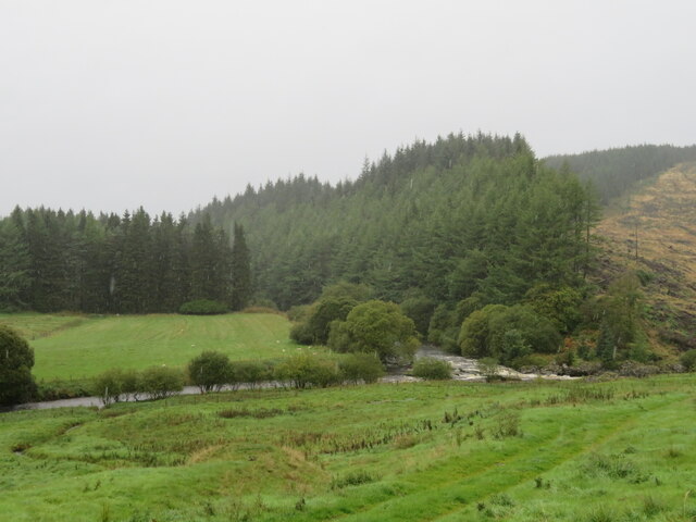
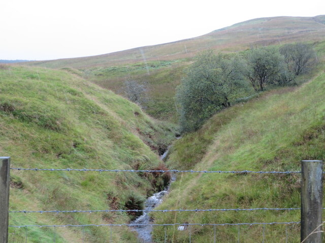
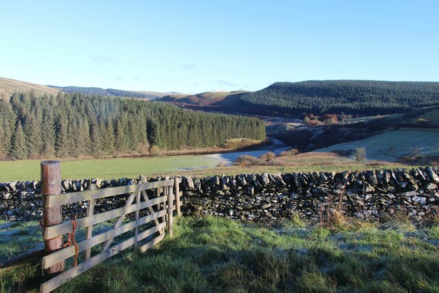
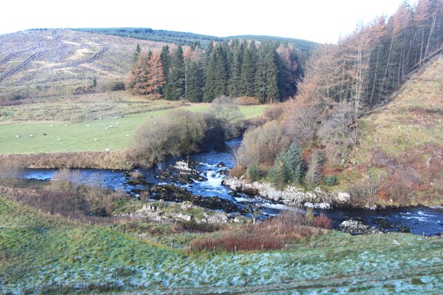
Airswood Hill is characterized by its gently sloping terrain, covered with lush green vegetation, including heather and grasses. The hill offers stunning panoramic views of the surrounding countryside, with rolling hills and valleys stretching as far as the eye can see. On a clear day, visitors can even catch glimpses of the nearby Solway Firth and the Lake District in England.
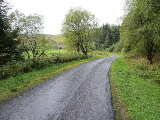
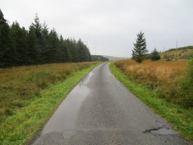
The hill is easily accessible, with well-maintained footpaths leading to its summit. Hiking enthusiasts often flock to Airswood Hill to take advantage of the various trails available, allowing them to explore the area's stunning landscapes and enjoy a peaceful retreat in nature. The moderate difficulty level of these trails makes the hill suitable for both experienced hikers and beginners.
The summit of Airswood Hill features a cairn, a man-made pile of stones, which adds to its charm and provides a perfect spot for hikers to rest and admire the breathtaking views. The hill is also home to a diverse range of wildlife, including birds, deer, and other small mammals, making it a popular spot for nature lovers and birdwatchers.
Overall, Airswood Hill is a captivating destination for those seeking natural beauty, tranquility, and outdoor adventure. Its accessibility, stunning views, and diverse wildlife make it a must-visit location in Dumfriesshire, offering a memorable experience for visitors of all ages.
If you have any feedback on the listing, please let us know in the comments section below.
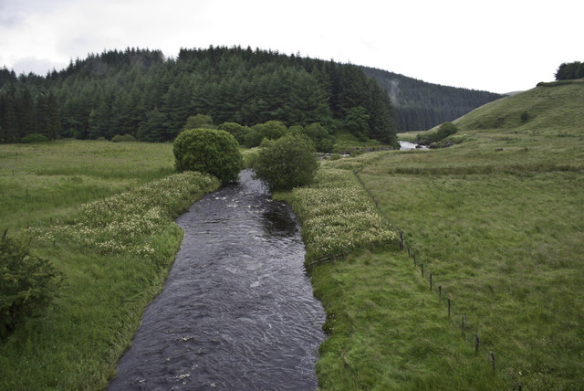
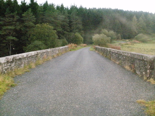
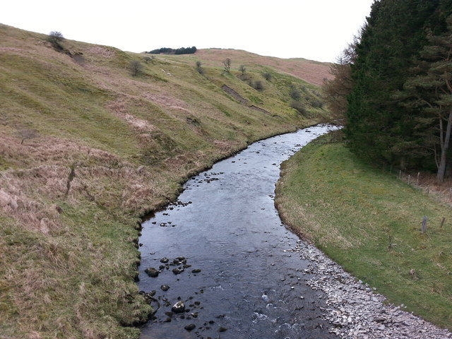
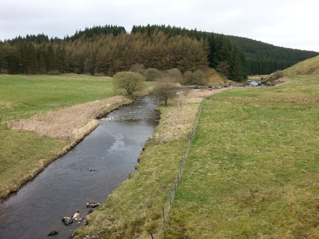
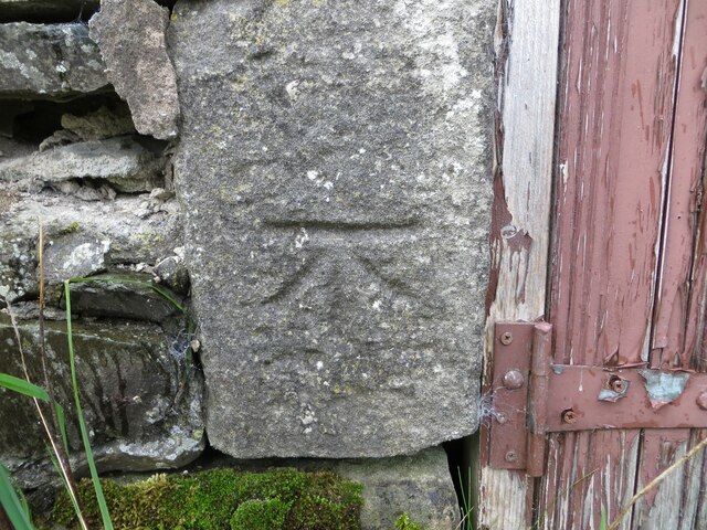
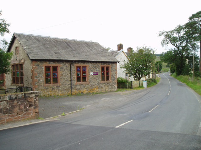
Airswood Hill Images
Images are sourced within 2km of 55.211245/-3.1668141 or Grid Reference NY2591. Thanks to Geograph Open Source API. All images are credited.


Airswood Hill is located at Grid Ref: NY2591 (Lat: 55.211245, Lng: -3.1668141)
Unitary Authority: Dumfries and Galloway
Police Authority: Dumfries and Galloway
What 3 Words
///grub.reclaim.sketching. Near Bentpath, Dumfries & Galloway
Nearby Locations
Related Wikis

Castle O'er Forest
Castle O'er Forest is a forest south of Eskdalemuir, Dumfries and Galloway, in southern Scotland.It is bisected by the River Esk. Eskdalemuir Forest adjoins...

Girdle Stanes
The Girdle Stanes (grid reference NY 25351 96153) is a stone circle near Eskdalemuir, Dumfries and Galloway. The western portion of the circle has been...

Whitcastles stone circle
Whitcastles or Little Hartfell (grid reference NY 2240 8806) is a stone circle 6½ miles NE of Lockerbie, Dumfries and Galloway. Nine fallen stones lie...

Loupin Stanes
The Loupin Stanes (grid reference NY25709663) is a stone circle near Eskdalemuir, Dumfries and Galloway. Oval in shape, it consists of twelve stones set...

Bentpath
Bentpath is a small village between Eskdalemuir and Langholm in Dumfries and Galloway, Scotland. It is located on the River Esk and has a church and a...

Holm, Inverness
Holm is a small residential area in the south of the city of Inverness, Scotland. The area lies east of the River Ness. The most prominent structure in...
Eskdalemuir
Eskdalemuir is a civil parish and small village in Dumfries and Galloway, Scotland, with a population of 265. It is around 10 miles (16 km) north-west...

Annandale and Eskdale
Annandale and Eskdale is a committee area in Dumfries and Galloway, Scotland. It covers the areas of Annandale and Eskdale, the straths of the River Annan...
Have you been to Airswood Hill?
Leave your review of Airswood Hill below (or comments, questions and feedback).