Bessyboot
Hill, Mountain in Cumberland Allerdale
England
Bessyboot

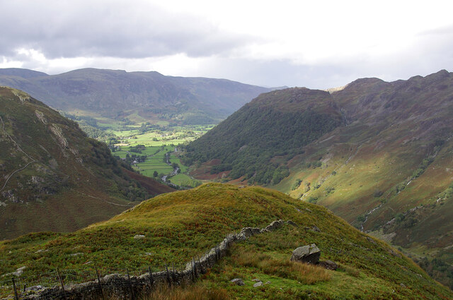
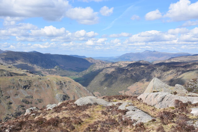
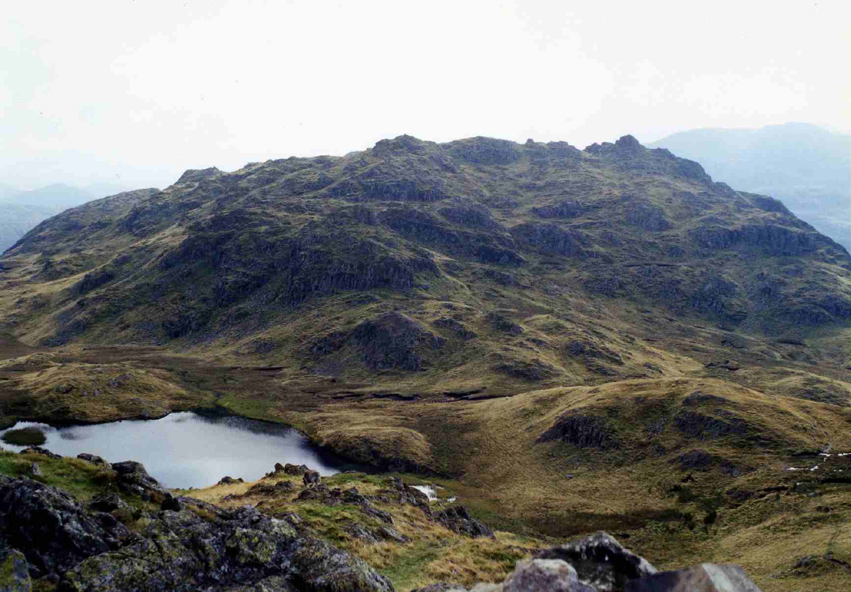
Bessyboot is a prominent hill located in the Lake District National Park in Cumbria, England. Standing at an elevation of 551 meters (1,808 feet), it is a popular destination for hikers and nature enthusiasts.
Situated in the western part of the park, Bessyboot offers stunning panoramic views of the surrounding landscapes. On a clear day, visitors can admire the breathtaking vistas of the nearby valleys, lakes, and mountains. The hill is particularly renowned for its vistas of Buttermere Lake, Crummock Water, and the towering peaks of the surrounding fells.
Reaching the summit of Bessyboot can be achieved through various hiking routes, with one of the most popular starting from the village of Rosthwaite. The ascent is relatively moderate, with well-defined paths leading through picturesque woodlands and open moorland. As hikers progress higher, they are rewarded with ever-expanding vistas, making the climb a truly memorable experience.
Bessyboot is also known for its rich wildlife. The hill is home to a range of bird species, including buzzards, kestrels, and ravens, which can often be spotted soaring above the hillside. The area is also frequented by red deer, wild ponies, and sheep, adding to the natural charm of the location.
Overall, Bessyboot in Cumberland is a captivating hill that offers both stunning views and a chance to immerse oneself in the natural beauty of the Lake District National Park.
If you have any feedback on the listing, please let us know in the comments section below.
Bessyboot Images
Images are sourced within 2km of 54.502228/-3.1467503 or Grid Reference NY2512. Thanks to Geograph Open Source API. All images are credited.


Bessyboot is located at Grid Ref: NY2512 (Lat: 54.502228, Lng: -3.1467503)
Administrative County: Cumbria
District: Allerdale
Police Authority: Cumbria
What 3 Words
///haunt.tile.riding. Near Keswick, Cumbria
Nearby Locations
Related Wikis
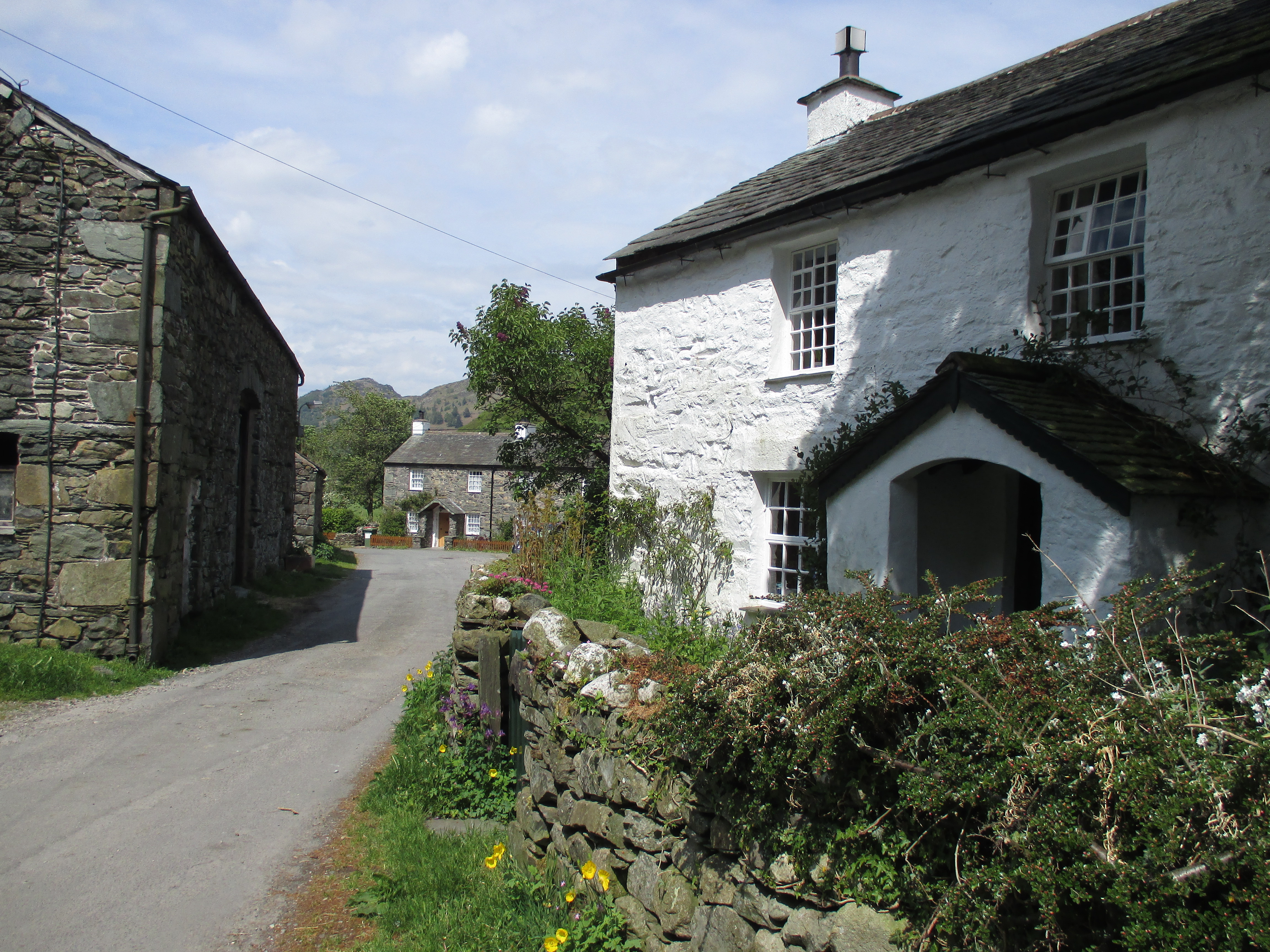
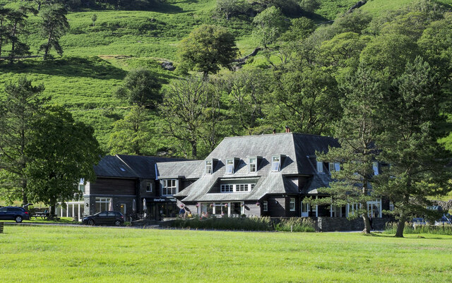
Stonethwaite
Stonethwaite is a small village in the Lake District in the English county of Cumbria, historically part of Cumberland, it is situated in the valley of...
Rosthwaite Fell
Rosthwaite Fell is a fell in the English Lake District. It is situated some 12 kilometres (7+1⁄2 miles) due south of Keswick and 2 kilometres (1+1⁄4 miles...

Lake District
The Lake District, also known as the Lakes or Lakeland, is a mountainous region and national park in North West England. It is primarily famous for its...

Eagle Crag
Eagle Crag is a fell in the Lake District in Cumbria, England, it is situated near the village of Stonethwaite where the valleys of Langstrath and Greenup...
Related Videos
Coast to Coast: Solo Hiking Across the Country - Day 3 (4K)
Join me on Patreon! https://www.patreon.com/TinyPineOutdoors Day 3 of solo hiking the Coast to Coast, I set off from Ennerdale ...
HIGH-LEVEL route from Howtown to Glenridding / S2-Ep1 Hiking the Wainwrights
Hiking the Wainwrights - Season 2: Far Eastern Fells - Episode 1. Hallin Fell, The Lake District It's so lovely to be back out again ...

Silent Winter Hiking In The Lake District - Embracing The Quiet Beauty
Silent Winter Hiking in The Lake District I have seen the mountains changing colour this winter from one day to another, and it ...
Buttermere Lake District | Red Pike Hiking Loop | Wild Camp Part 1
What's Good! So a quick 24 hours in Buttermere in the Lake District! I've decided to split the videos into two parts... a day Hike in ...
Nearby Amenities
Located within 500m of 54.502228,-3.1467503Have you been to Bessyboot?
Leave your review of Bessyboot below (or comments, questions and feedback).