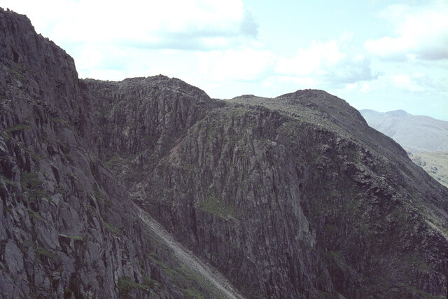
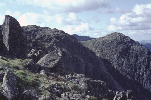
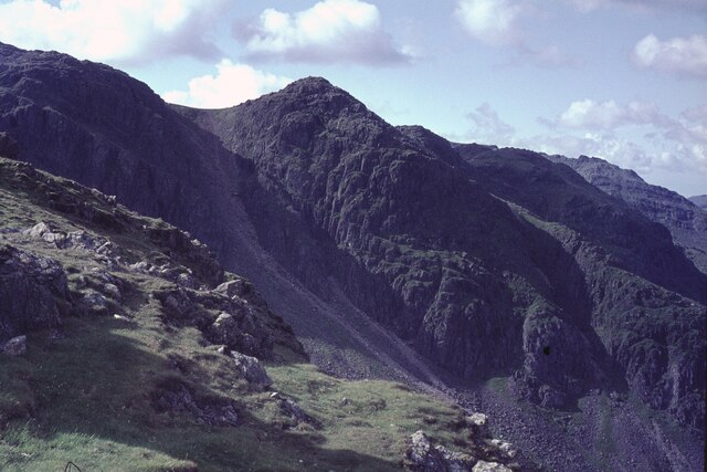
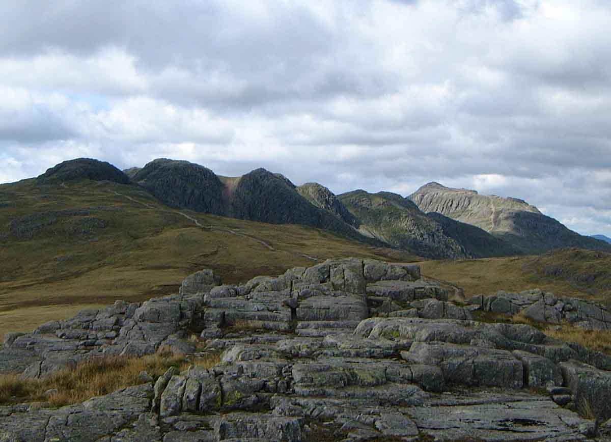
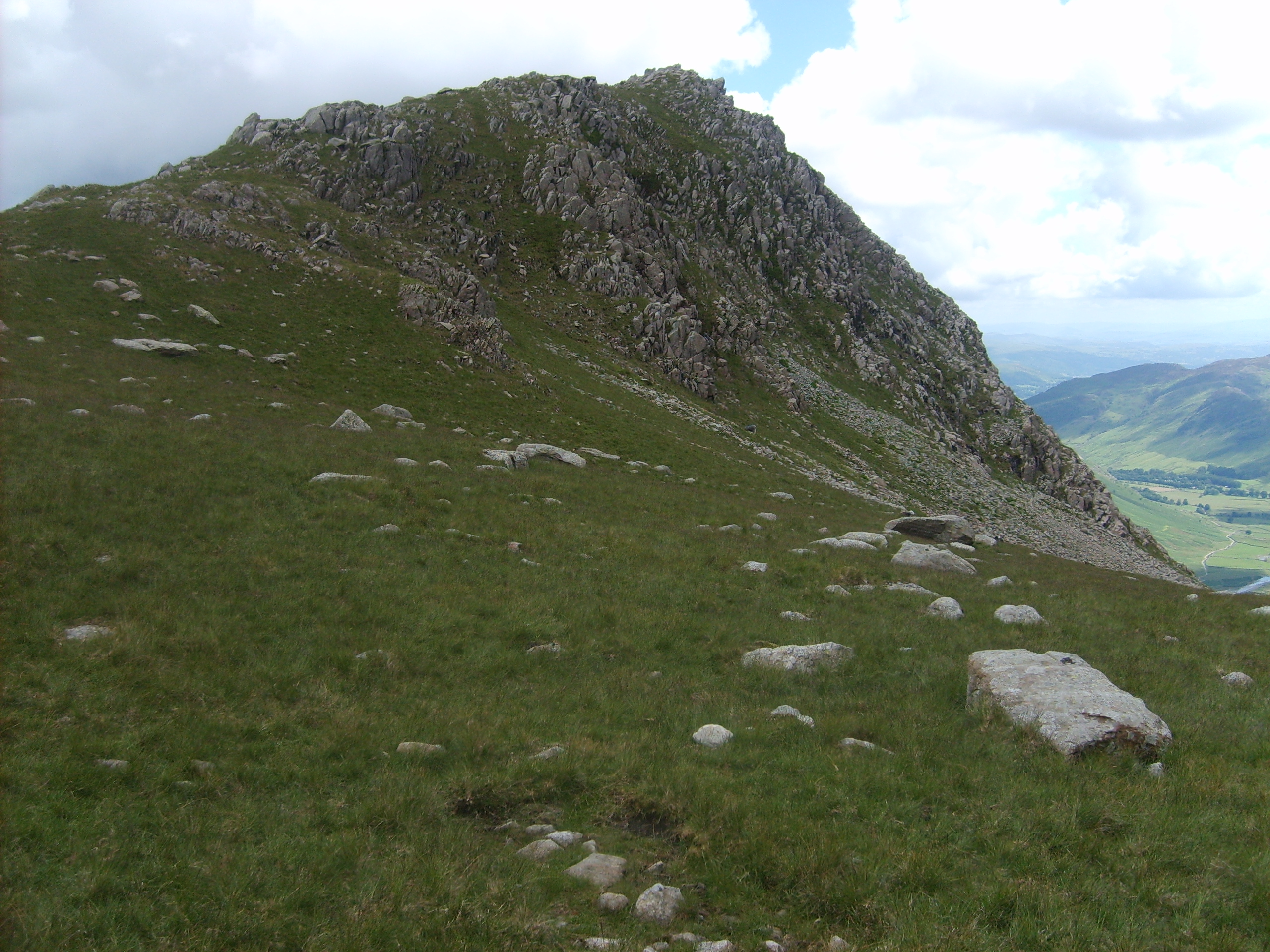
Shelter Crags
Hill, Mountain in Cumberland Copeland
England
Shelter Crags
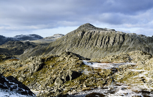
Shelter Crags is a prominent hill/mountain located in the county of Cumberland, within the Lake District National Park in northwest England. Standing at an elevation of approximately 2,418 feet (737 meters), it forms part of the Eastern Fells range.
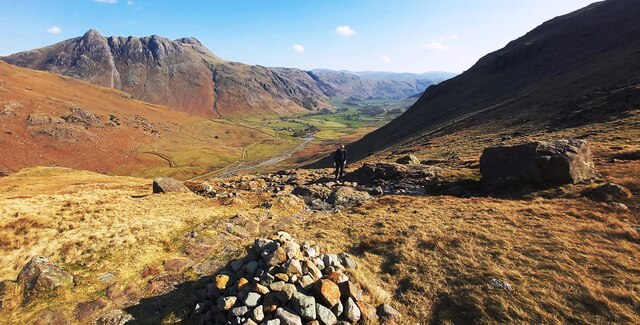
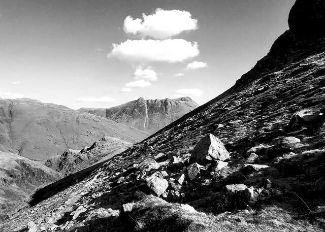
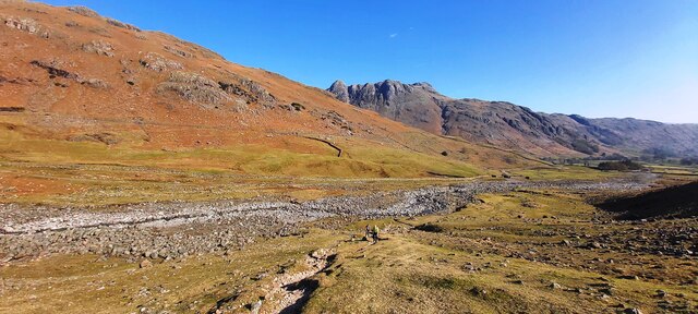
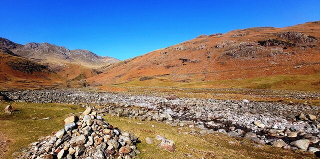
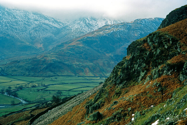
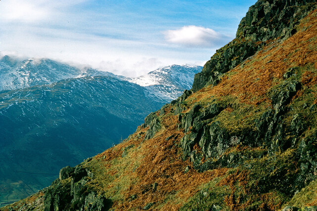
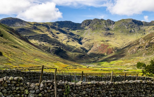
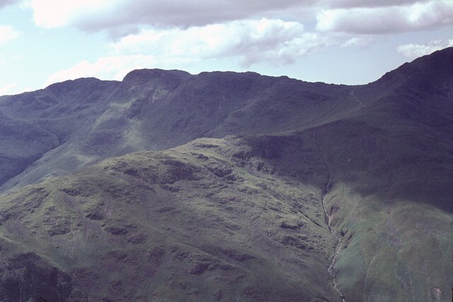
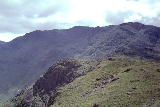
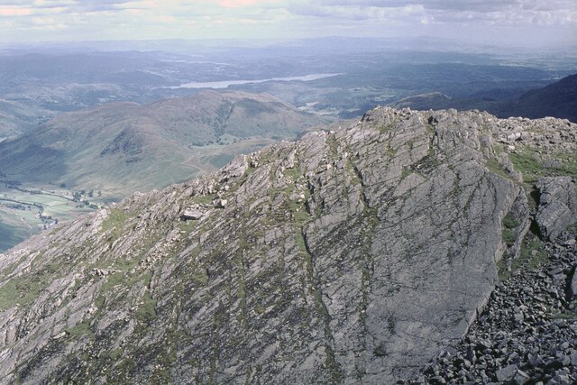
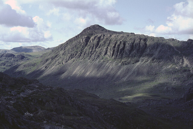
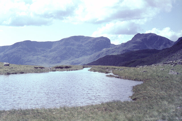
The hill/mountain is known for its distinctive craggy appearance, which is where its name derives from. Shelter Crags offers breathtaking panoramic views of the surrounding landscape, including the picturesque valleys of Grisedale and Glenridding. On clear days, it is even possible to see as far as the Irish Sea and the Isle of Man.
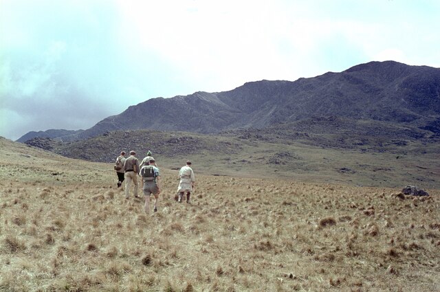
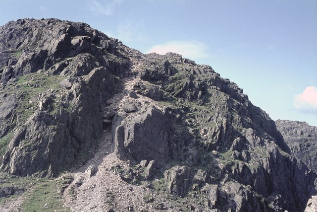
The ascent to Shelter Crags can be challenging, particularly for inexperienced hikers, as it involves navigating steep slopes and rocky terrain. However, the effort is rewarded with stunning vistas and a sense of accomplishment upon reaching the summit.
The hill/mountain is a popular destination for outdoor enthusiasts, including hikers, mountaineers, and nature lovers. It is also home to a diverse range of flora and fauna, with heather, grasses, and wildflowers adorning its slopes, and various bird species soaring through the skies above.
Shelter Crags is part of the larger Helvellyn ridge, which attracts a significant number of visitors each year. It offers a range of other outdoor activities in the surrounding area, including walking trails, rock climbing routes, and opportunities for wild camping.
Overall, Shelter Crags in Cumberland is a stunning natural landmark that provides a challenging yet rewarding experience for those seeking to explore the beauty of the Lake District National Park.
If you have any feedback on the listing, please let us know in the comments section below.
Shelter Crags Images
Images are sourced within 2km of 54.437966/-3.1582447 or Grid Reference NY2405. Thanks to Geograph Open Source API. All images are credited.
Shelter Crags is located at Grid Ref: NY2405 (Lat: 54.437966, Lng: -3.1582447)
Administrative County: Cumbria
District: Copeland
Police Authority: Cumbria
What 3 Words
///heartburn.dates.bands. Near Ambleside, Cumbria
Nearby Locations
Related Wikis
Crinkle Crags
Crinkle Crags is a fell in the English Lake District in the county of Cumbria. It forms part of two major rings of mountains, surrounding the valleys of...

Bowfell
Bowfell (named Bow Fell on Ordnance Survey maps) is a pyramid-shaped mountain lying at the heart of the English Lake District, in the Southern Fells area...
Rossett Pike
Rossett Pike is a fell in the English Lake District. It is located at the head of Mickleden, one of two tributary valleys of Great Langdale. == Topography... ==

Angle Tarn (Langstrath)
Angle Tarn is a tarn to the north of Bowfell in the English Lake District. It drains into Langstrath Beck. This should not be confused with Angle Tarn...

Pike of Blisco
Pike of Blisco, or Pike o' Blisco, is a mountain in the Lake District in Cumbria, England. Located between the valleys of Great Langdale and Little Langdale...

Cold Pike
Cold Pike is a fell in the English Lake District. It is a satellite of Crinkle Crags and stands above the Upper Duddon Valley. == Topography == When travelling...

Esk Pike
Esk Pike is a fell in the English Lake District, one of the cirque of hills forming the head of Eskdale. == Topography == The Southern Fells include the...

Pike of Stickle
Pike of Stickle, also known as Pike o’ Stickle, is a fell in the English Lake District. It reaches a height of 709 metres (2,326 ft) and is situated in...
Nearby Amenities
Located within 500m of 54.437966,-3.1582447Have you been to Shelter Crags?
Leave your review of Shelter Crags below (or comments, questions and feedback).