Hill of Bellaty
Hill, Mountain in Angus
Scotland
Hill of Bellaty

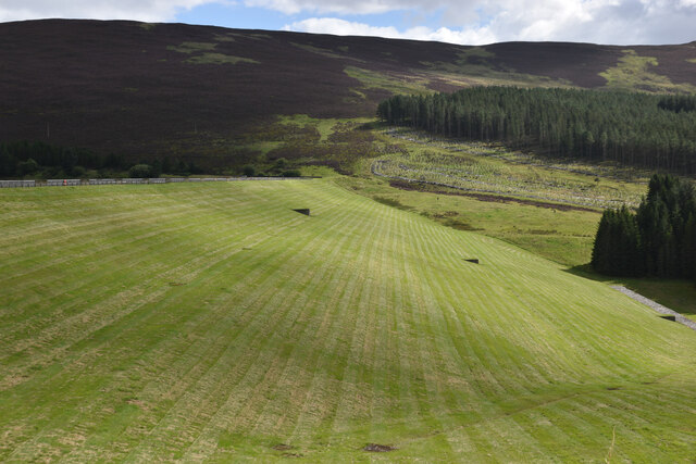
Hill of Bellaty is a prominent landmark located in Angus, Scotland. Situated near the village of Edzell, it is part of the Grampian mountain range. With an elevation of around 500 meters (1,640 feet), it offers breathtaking views of the surrounding countryside.
The hill is characterized by its distinctive cone-shaped peak, which is covered in heather and grasses. It is a popular destination for hikers and nature enthusiasts who are attracted by its natural beauty and tranquility. The area is home to a diverse range of flora and fauna, including several bird species such as red grouse and peregrine falcons.
The ascent to the top of Hill of Bellaty is relatively moderate, with well-defined paths leading up to the summit. Along the way, walkers can enjoy the peaceful ambiance and may even encounter grazing sheep or Highland cows.
From the peak, visitors are rewarded with panoramic views of the Angus countryside, including rolling hills, lush green valleys, and distant lochs. On clear days, it is even possible to see the North Sea coastline in the east.
Hill of Bellaty provides an excellent opportunity to escape the hustle and bustle of everyday life, offering a chance to connect with nature and enjoy the serenity of the Scottish countryside.
If you have any feedback on the listing, please let us know in the comments section below.
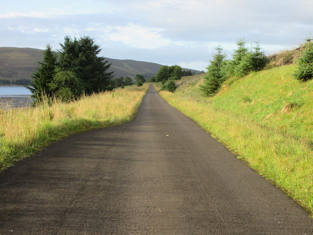
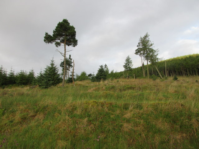
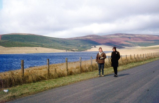
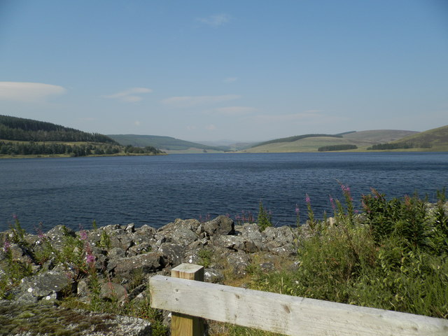
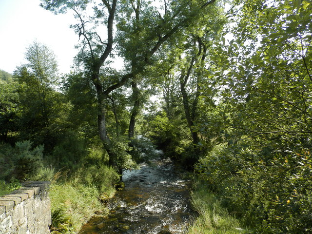
Hill of Bellaty Images
Images are sourced within 2km of 56.71945/-3.2301569 or Grid Reference NO2459. Thanks to Geograph Open Source API. All images are credited.


Hill of Bellaty is located at Grid Ref: NO2459 (Lat: 56.71945, Lng: -3.2301569)
Unitary Authority: Angus
Police Authority: Tayside
What 3 Words
///nerve.changed.handicaps. Near Alyth, Perth & Kinross
Nearby Locations
Related Wikis

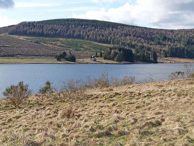
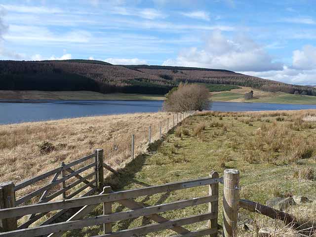
Backwater Reservoir
Backwater Reservoir is a reservoir in north west Angus, Scotland. The reservoir's sole purpose is to provide drinking water, and as such, it supplies Angus...

Knockshannoch Lodge
Knockshannoch Lodge is a Category B listed building in the Scottish village of Glenisla, Angus, built around 1888. It is a small, single-storey cottage...
Kirkton of Glenisla
Kirkton of Glenisla consists of a church and graveyard, a hotel, hall and several homes forming the largest concentration of habitation in Glenisla, Angus...

Balintore, Angus
Balintore (Scottish Gaelic: Baile an Todhair) is a village in Angus, Scotland. It lies in Glen Isla, four miles north of the Loch of Lintrathen and seven...
Nearby Amenities
Located within 500m of 56.71945,-3.2301569Have you been to Hill of Bellaty?
Leave your review of Hill of Bellaty below (or comments, questions and feedback).