Cairn Damff

Hill, Mountain in Angus

Scotland

Cairn Damff

Lone tree hanging on Jocks Road
Lone tree hanging on Credit: Ralph Greig

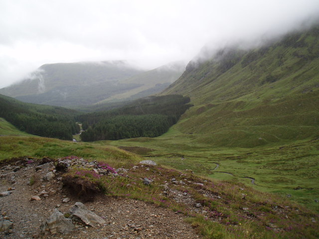
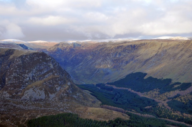
Cairn Damff is a prominent hill located in the Angus region of Scotland. Standing at an elevation of approximately 1,594 feet (486 meters), it offers stunning panoramic views of the surrounding landscape. Situated within the southern part of the Cairngorms National Park, Cairn Damff is a popular destination for hikers and outdoor enthusiasts.

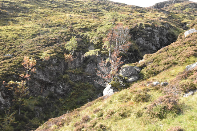
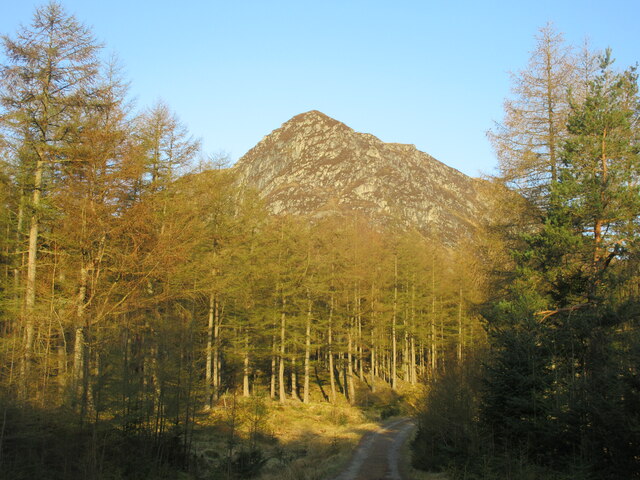
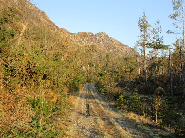
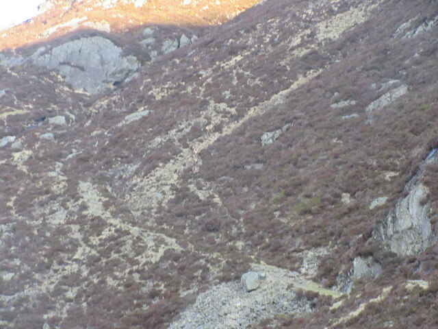
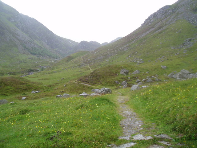
The hill is characterized by its rugged terrain, featuring steep slopes and rocky outcrops. Its summit is marked by a cairn, which is a pile of stones traditionally used as a navigational marker or a memorial. This cairn has become an iconic feature of Cairn Damff and provides a point of interest for visitors.

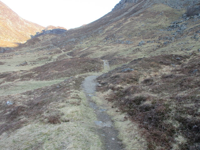
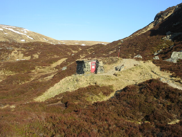
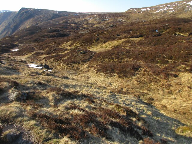
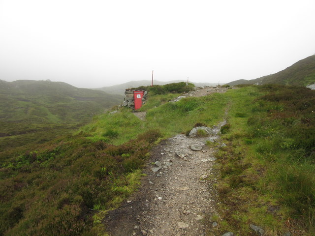
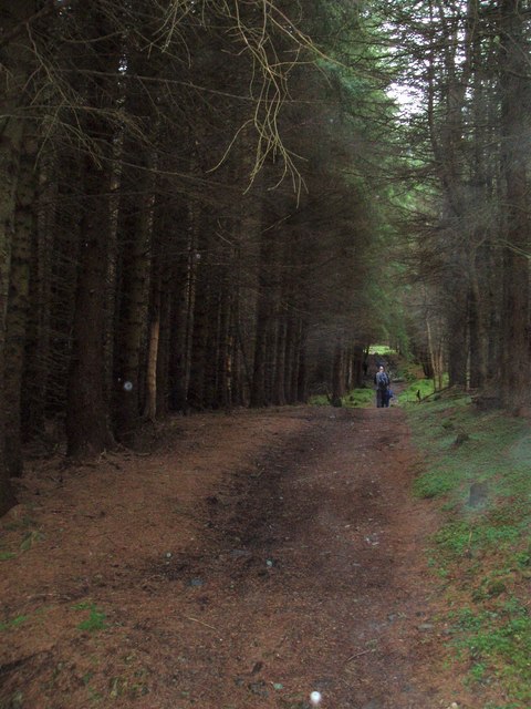
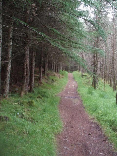
The ascent to the top of Cairn Damff is moderately challenging, requiring a certain level of fitness and navigation skills. Hikers can choose from various routes to reach the summit, including paths that wind through heather-covered moorland and woodland areas. Along the way, they may encounter a diverse range of wildlife, such as red deer, mountain hares, and various bird species.

Once at the summit, visitors are rewarded with breathtaking views of the surrounding countryside, including Loch Lee and the nearby hills. On a clear day, it is even possible to catch a glimpse of the Grampian Mountains in the distance. Whether it's for a challenging hike or simply to appreciate the natural beauty of the Angus region, Cairn Damff offers a memorable experience for outdoor enthusiasts.

If you have any feedback on the listing, please let us know in the comments section below.
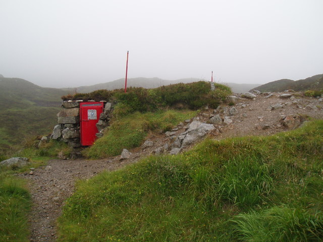
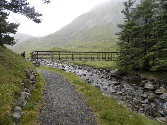
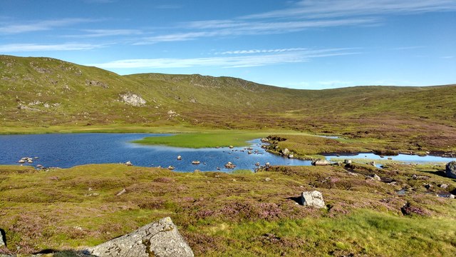
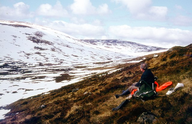
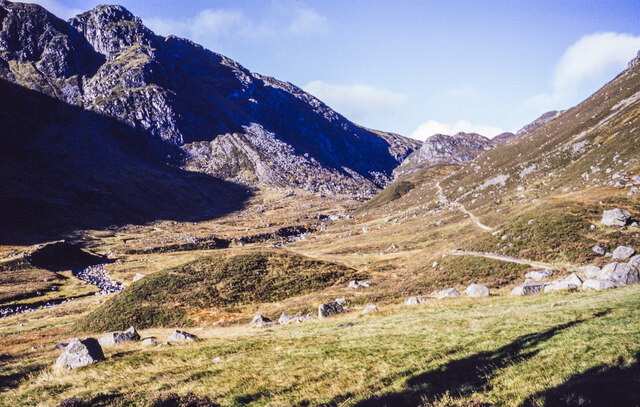
Cairn Damff Images

Images are sourced within 2km of 56.884688/-3.2357951 or Grid Reference NO2477. Thanks to Geograph Open Source API. All images are credited.

Lone tree hanging on Jocks Road
Lone tree hanging on
Jocks Road
Craig Rennet Craig Rennet viewed from the east on the Dounault Road in Glen Doll.
Craig Rennet
Craig Rennet viewed from the east on the Dounault Road in Glen Doll.
Dounalt Road The Dounalt Road in Glen Doll with Craig Maud in the distance, used as an alternative route to the storm damaged forest section of Jock's Road.
Dounalt Road
The Dounalt Road in Glen Doll with Craig Maud in the distance, used as an alternative route to the storm damaged forest section of Jock's Road.
Jock's Road The beginning of Jock's Road beyond the forest section in Glen Doll.
Jock's Road
The beginning of Jock's Road beyond the forest section in Glen Doll.
Camouflaged deer Six deer in the centre of the picture blending into the hillside above Jock's Road.
Camouflaged deer
Six deer in the centre of the picture blending into the hillside above Jock's Road.
Davy's Bourach The shelter on Jock's Road at the top of Glen Doll.
Davy's Bourach
The shelter on Jock's Road at the top of Glen Doll.
Heather-clad knolls Heathery knolls at the top of Jock's Road above Glen Doll.
Heather-clad knolls
Heathery knolls at the top of Jock's Road above Glen Doll.
Davy Glen's Bourach, Glen Doll This shelter was constructed in 1966 by Davy Glen following a tragedy in 1959 when four hikers died near this spot.
Davy Glen's Bourach, Glen Doll
This shelter was constructed in 1966 by Davy Glen following a tragedy in 1959 when four hikers died near this spot.
Forest track on Jock's Road in Glen Doll Forest
Jock's Road, Glen Doll
Jock's Road above Glen Doll Forest
Davy Glen's Burach on Jock's Road The shelter was constructed by the late Davy Glen a dry stane dyker of renown.
This summer shot can be compared with an earlier winter shot. 
See <a href="https://www.geograph.org.uk/photo/2880152">NO2377 : Davy's Burach on Jock's Road</a> 
For more on Davy Glen see <span class="nowrap"><a title="http://www.tealingvillage.org/davieglen.html" rel="nofollow ugc noopener" href="http://www.tealingvillage.org/davieglen.html">Link</a><img style="margin-left:2px;" alt="External link" title="External link - shift click to open in new window" src="https://s1.geograph.org.uk/img/external.png" width="10" height="10"/></span>
Davy Glen's Burach on Jock's Road
The shelter was constructed by the late Davy Glen a dry stane dyker of renown. This summer shot can be compared with an earlier winter shot. See NO2377 : Davy's Burach on Jock's Road For more on Davy Glen see LinkExternal link
Footbridge over the White Water, Glendoll
Craig Rennet and Glen Doll Craig Rennet on the left with Glen Doll and White Water disappearing behind it. Jock's Road leads north-west out of the glen and over and down to Glen Callater and Braemar.
Craig Rennet and Glen Doll
Craig Rennet on the left with Glen Doll and White Water disappearing behind it. Jock's Road leads north-west out of the glen and over and down to Glen Callater and Braemar.
Loch Esk Loch Esk seen from its eastern shore. In the very dry, warm summer of 2018, the water level has fallen significantly, exposing some of the greens on the loch floor.
Loch Esk
Loch Esk seen from its eastern shore. In the very dry, warm summer of 2018, the water level has fallen significantly, exposing some of the greens on the loch floor.
Receding snow at the upper White Water Tom Buidhe across the pass.
Receding snow at the upper White Water
Tom Buidhe across the pass.
Jock's Road in Glen Doll The Jock's Road path climbing through Glen Doll seen from where it exits the coniferous plantation astride the White Water at around 430 metres.
The rocks of Craig Maud are at the left side of the image.
Jock's Road in Glen Doll
The Jock's Road path climbing through Glen Doll seen from where it exits the coniferous plantation astride the White Water at around 430 metres. The rocks of Craig Maud are at the left side of the image.
Show me another place!

Cairn Damff is located at Grid Ref: NO2477 (Lat: 56.884688, Lng: -3.2357951)

Unitary Authority: Angus

Police Authority: Tayside

What 3 Words

///shine.only.jumbo. Near Inverey, Aberdeenshire

Nearby Locations

Cairn Damff

Related Wikis

Glen Doll

Glen Doll, also sometimes spelt Glendoll, lies within the Cairngorms National Park, Scotland, at the top of Glen Clova, in an area of steep hills, corries...

Corrie Fee

Corrie Fee is a glacier-carved corrie situated at the head of Glen Clova in the Angus Glens of Scotland. It forms part of Corrie Fee National Nature Reserve...

Caenlochan

Caenlochan (Scottish Gaelic: Cadha an Lochain) is a glen in the Grampian Mountains of Scotland. Under EU Natura 2000 legislation it is a Special Area of...

Broad Cairn

Broad Cairn is a mountain in the Grampians of Scotland, located about sixteen miles south of the River Dee near Balmoral.

Have you been to Cairn Damff?

Leave your review of Cairn Damff below (or comments, questions and feedback).