Genie Fea
Hill, Mountain in Orkney
Scotland
Genie Fea

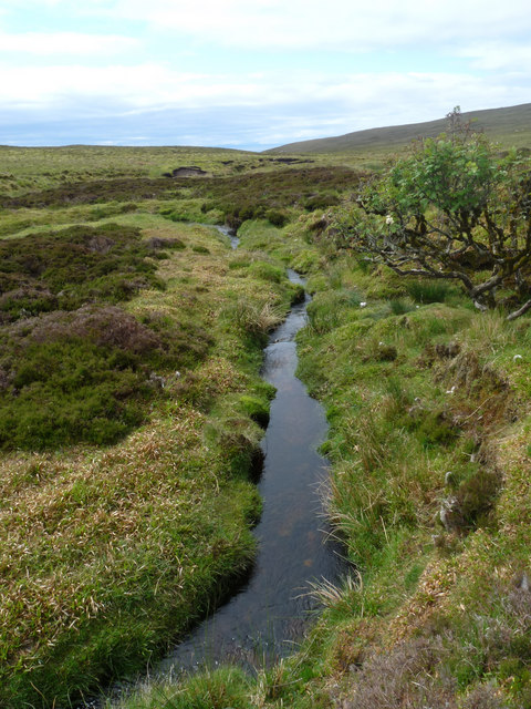
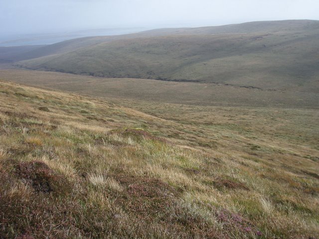
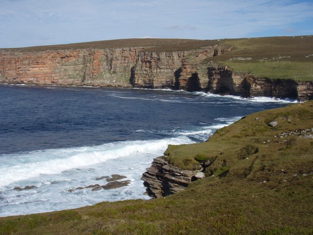
Genie Fea is a prominent hill located in Orkney, a group of islands situated in the northern part of Scotland. It is renowned for its natural beauty and rich historical significance. The hill stands at an elevation of approximately 290 meters (951 feet) and offers breathtaking panoramic views of the surrounding landscapes.
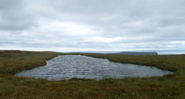
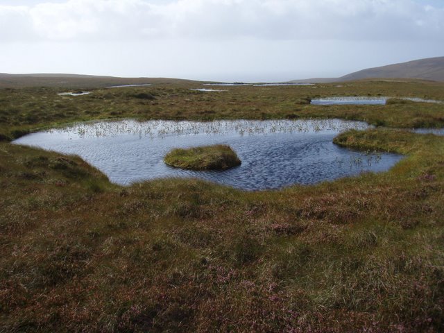
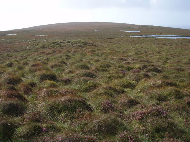
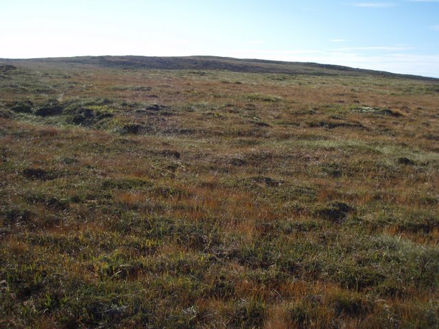
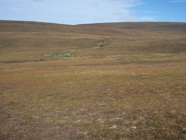
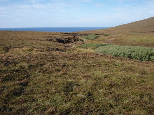
Genie Fea is a popular destination for hikers, nature enthusiasts, and history buffs alike. Its distinctive shape, with steep slopes and a prominent summit, makes it easily recognizable. The hill is covered in lush green vegetation, including grasses, heather, and scattered shrubs, providing a diverse habitat for various plant and animal species.
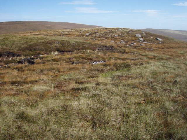
One of the notable features of Genie Fea is the presence of an ancient cairn, a man-made stone mound, at its summit. This cairn is believed to date back to the Neolithic period, around 4,000 to 2,500 BC, and is thought to have been used as a burial site or a ceremonial monument by the ancient inhabitants of Orkney.
Visitors to Genie Fea can embark on a challenging but rewarding hike to reach the summit, where they can explore the ancient cairn and enjoy the breathtaking views of the surrounding Orkney Islands. The hill is easily accessible by foot and is a popular destination for tourists looking to immerse themselves in Orkney's rich cultural and natural heritage.
Overall, Genie Fea is a captivating hill in Orkney that offers a blend of natural beauty, historical significance, and outdoor adventure, making it a must-visit destination for travelers exploring the region.
If you have any feedback on the listing, please let us know in the comments section below.
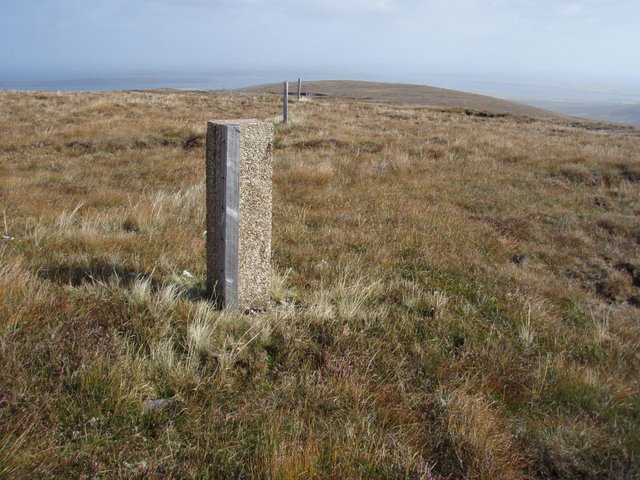
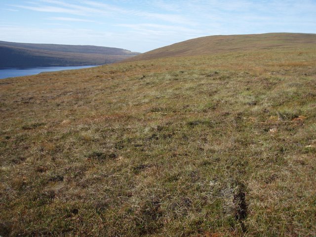
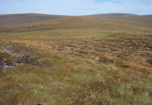
Genie Fea Images
Images are sourced within 2km of 58.829856/-3.3120962 or Grid Reference ND2494. Thanks to Geograph Open Source API. All images are credited.
Genie Fea is located at Grid Ref: ND2494 (Lat: 58.829856, Lng: -3.3120962)
Unitary Authority: Orkney Islands
Police Authority: Highlands and Islands
What 3 Words
///quench.extensive.scare. Near Lyness, Orkney Islands
Nearby Locations
Related Wikis
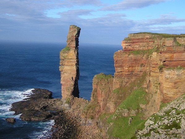
Hoy, Orkney
Hoy (Scots: Hoy; from Old Norse Háey, meaning "high island") is an island in Orkney, Scotland, measuring 143 square kilometres (55 sq mi) – the second...

Hoglinns Water
Hoglinns Water is a small freshwater loch in the south of the island of Hoy, Orkney. It drains in to Heldale Water via Hoglinns Burn. The loch was surveyed...

The Needle, Orkney
The Needle is a 70-metre-high (230 ft) sea stack on the island of Hoy, in Orkney, Scotland. It is located on the southwest coast of Hoy at ND243902. There...

Dwarfie Stane
The Dwarfie Stane is a megalithic chambered tomb carved out of a titanic block of Devonian Old Red Sandstone located in a steep-sided glaciated valley...

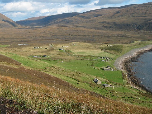
Lyness
Lyness is a village on the east coast of the island of Hoy, Orkney, Scotland. The village is within the parish of Walls and Flotta, and is situated at...
Rackwick
Rackwick is a small coastal crofting township in the north west of the island of Hoy in Orkney, Scotland. As well as a handful of tourist amenities the...

Scapa Flow Museum
Scapa Flow Museum is a war museum in Lyness on the Island of Hoy, Orkney, Scotland. Housed within a refurbished Romney hut and oil fuel pump house at the...

Longhope, Orkney
Longhope is a coastal settlement on the island of South Walls, in Orkney, Scotland. South Walls is linked to Hoy by causeway; Longhope is the largest settlement...
Nearby Amenities
Located within 500m of 58.829856,-3.3120962Have you been to Genie Fea?
Leave your review of Genie Fea below (or comments, questions and feedback).