Buiselaw
Hill, Mountain in Midlothian
Scotland
Buiselaw
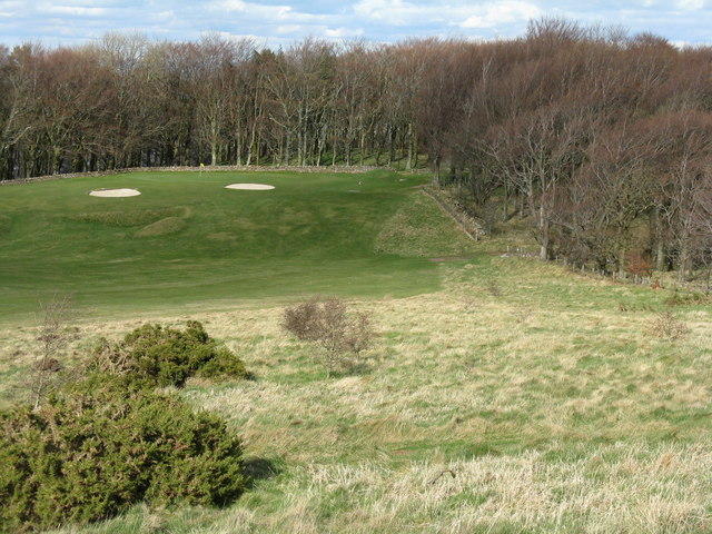
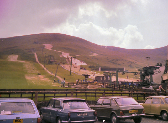
![Western Edinburgh from above Swanston Looking over Lothianburn golf course. To the left of the trees [the 'T-wood'] is the valley of the Swanston Burn, beyond which are the upper reaches of Swanston Golf Course, then Dreghorn and Redford Barracks and, even further in the distance, Corstorphine Hill and the Firth of Forth [11 km away]](https://s1.geograph.org.uk/geophotos/02/33/72/2337289_b81b7753.jpg)
Buiselaw is a prominent hill located in Midlothian, Scotland. It is part of the Moorfoot Hills range, which stretches across the southern part of the county. Standing at approximately 531 meters (1,742 feet) above sea level, Buiselaw offers breathtaking panoramic views of the surrounding area.
The hill is covered in heather and grass, creating a picturesque landscape that changes with the seasons. It is a popular destination for outdoor enthusiasts, hikers, and nature lovers who enjoy exploring the beautiful Scottish countryside. The well-maintained trails on Buiselaw provide a variety of options for all skill levels, ranging from gentle walks to more challenging hikes.
The summit of Buiselaw offers stunning views of the surrounding countryside, including the nearby towns of Penicuik and Bonnyrigg, as well as the Pentland Hills to the northwest. On a clear day, it is even possible to catch a glimpse of the Edinburgh skyline in the distance.
Buiselaw is easily accessible by car, with parking available at the base of the hill. The hill is also located close to several other popular hiking destinations, such as the nearby peaks of Allermuir Hill and Scald Law.
Overall, Buiselaw is a beautiful and accessible hill in Midlothian, offering visitors the chance to immerse themselves in the natural beauty of the Scottish countryside and enjoy stunning views of the surrounding area.
If you have any feedback on the listing, please let us know in the comments section below.
Buiselaw Images
Images are sourced within 2km of 55.890077/-3.2112657 or Grid Reference NT2466. Thanks to Geograph Open Source API. All images are credited.
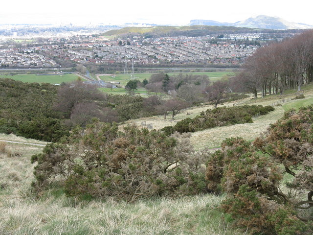
![Edinburgh from Hillend Looking northeastwards from just above the Midlothian Snowsports Centre, over Lothianburn Golf Course and Comiston to The Braid Hills, with Edinburgh Castle to the left [7km] and Salisbury Crags and Arthur&#039;s Seat to the right [7km], and the Firth of Forth, with Inchkeith island in the centre [17km].](https://s2.geograph.org.uk/geophotos/02/33/74/2337422_7b849218.jpg)
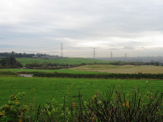
![Multiple Mobile Masts And other electrical support structures - at least 5 pylons are visible, as well as poles carrying lower tension cables. Looking towards the Lothianburn junction of the A720 [Edinburgh City Bypass] and A702 [Biggar Road] at Fairmilehead.](https://s0.geograph.org.uk/geophotos/02/33/74/2337468_6dbe4b58.jpg)
Buiselaw is located at Grid Ref: NT2466 (Lat: 55.890077, Lng: -3.2112657)
Unitary Authority: City of Edinburgh
Police Authority: Edinburgh
What 3 Words
///doing.tools.zone. Near Bilston, Midlothian
Nearby Locations
Related Wikis

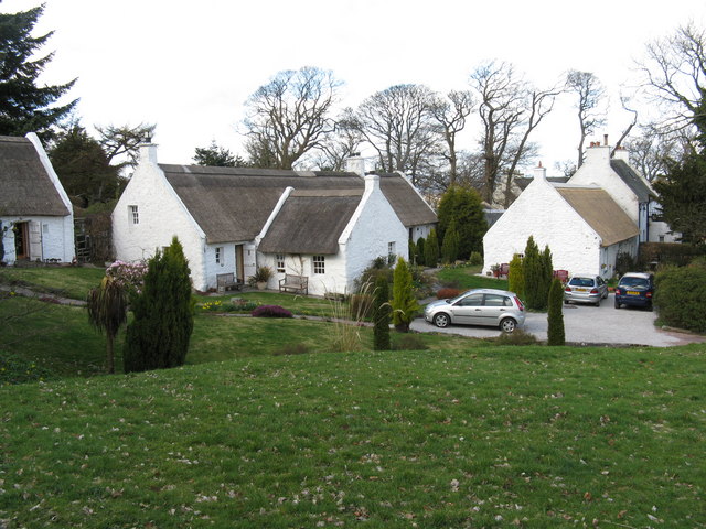
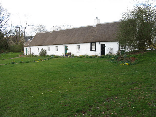
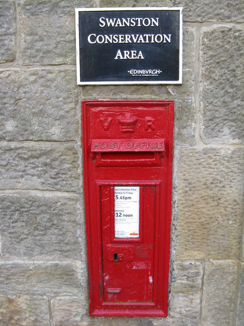
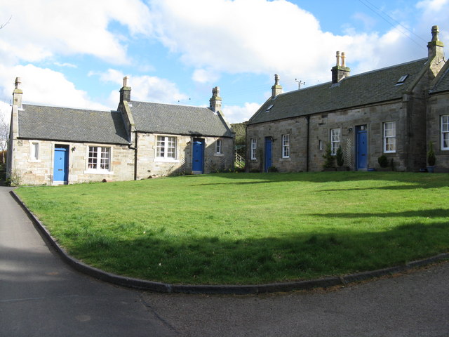
Swanston, Edinburgh
Swanston is a village and residential area on the southern edge of Edinburgh, Scotland, noted for its picturesque thatched cottages set around an informal...
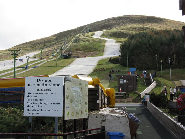
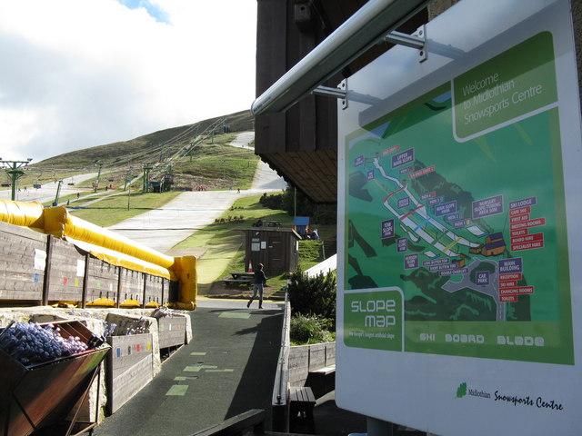
Hillend, Edinburgh
Hillend is a small hamlet in Midlothian, just outside the Scottish capital Edinburgh, best known for the Midlothian Snowsports Centre (formerly the Hillend...

Caerketton Hill
Caerketton Hill is a hill in the Pentland Hills range of Scotland. Standing at 478 m, it is at the northeast end of the approximately 25 km (16 mi) long...

Fairmilehead
Fairmilehead is a district of southern Edinburgh, Scotland. It lies approximately 3 miles (5 km) due south of the city centre and borders Midlothian. The...
Nearby Amenities
Located within 500m of 55.890077,-3.2112657Have you been to Buiselaw?
Leave your review of Buiselaw below (or comments, questions and feedback).