Craigie Thieves

Hill, Mountain in Angus

Scotland

Craigie Thieves

The road up Glen Prosen
The road up Glen Prosen Credit: Alan Reid

Craigie Thieves is a prominent hill located in the Angus region of Scotland. Rising to an elevation of approximately 369 meters (1,211 feet), it is situated near the village of Craigie, which lies approximately 5 kilometers (3 miles) southwest of Forfar.

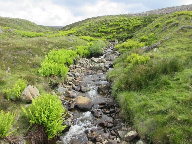
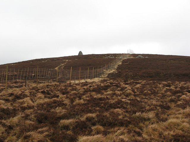
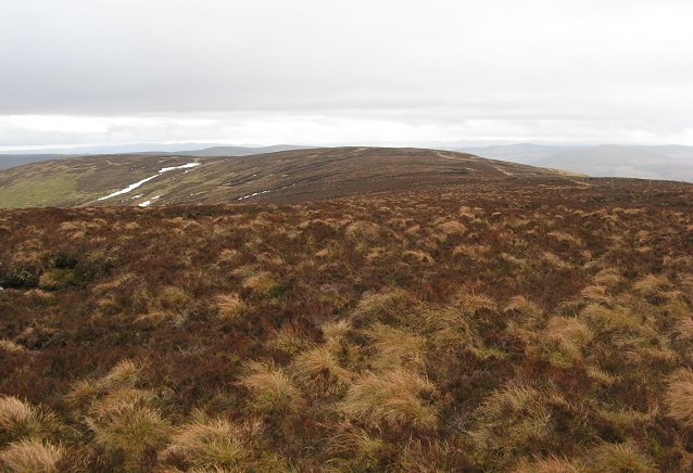
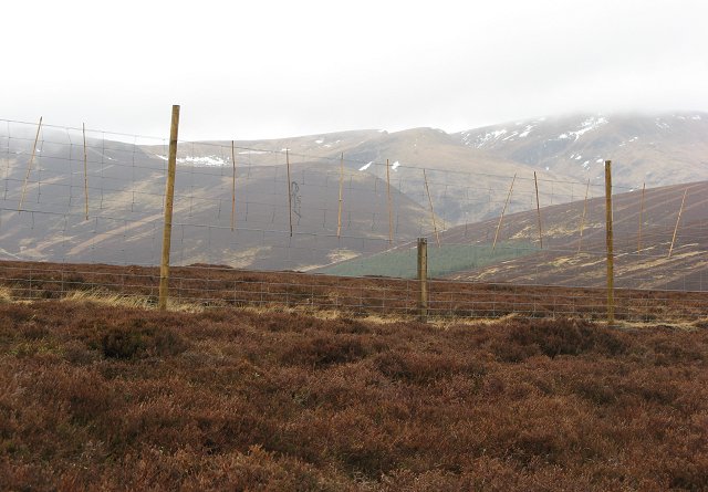
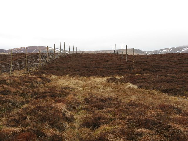
The hill is characterized by its distinctive conical shape, which makes it a notable landmark in the surrounding area. The slopes of Craigie Thieves are covered with heather and grasses, creating a picturesque landscape that attracts hikers and nature enthusiasts.

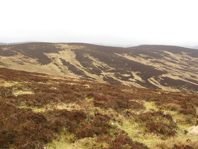
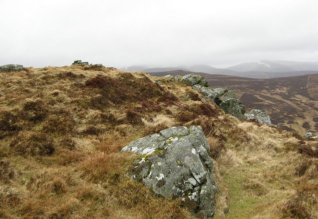
The summit of Craigie Thieves offers breathtaking panoramic views of the surrounding countryside. On clear days, visitors can enjoy vistas that stretch as far as the Grampian Mountains to the north and the Sidlaw Hills to the south. The hill's strategic location provides an ideal vantage point to appreciate the natural beauty of Angus.

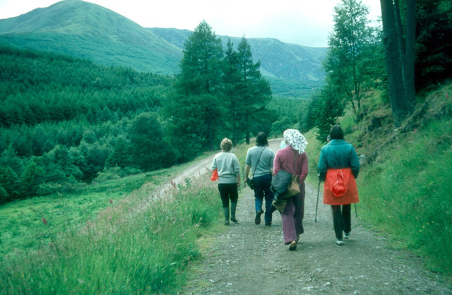
Craigie Thieves is a popular destination for outdoor activities, including hillwalking and birdwatching. Its varied terrain and well-marked trails make it accessible to walkers of different abilities. The hill is also home to a diverse range of bird species, including kestrels, buzzards, and peregrine falcons, making it a haven for birdwatchers.

In addition to its natural attractions, Craigie Thieves also holds historical significance. There are remnants of a fortification on the summit, believed to date back to the Iron Age. These ancient earthworks add an element of intrigue and provide a glimpse into the hill's rich past.

Overall, Craigie Thieves stands as a captivating hill in Angus, offering both natural beauty and historical intrigue to visitors who venture to its slopes.

If you have any feedback on the listing, please let us know in the comments section below.

Craigie Thieves Images

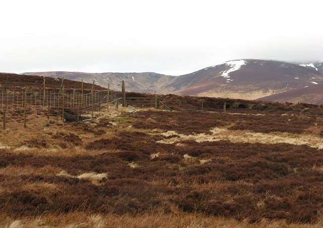
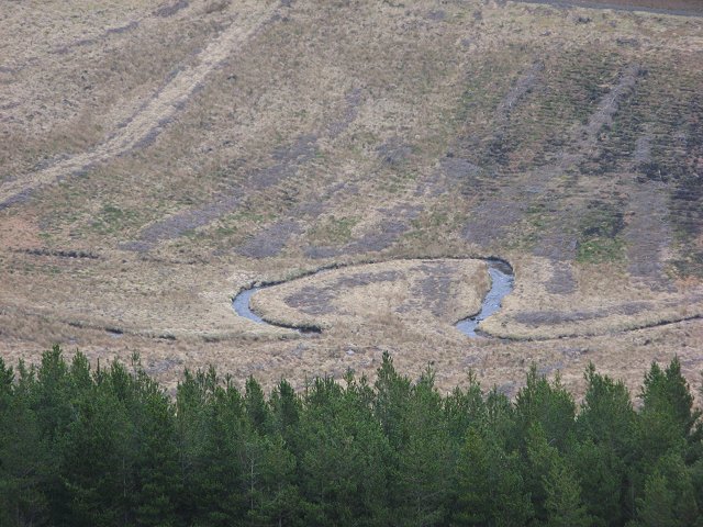
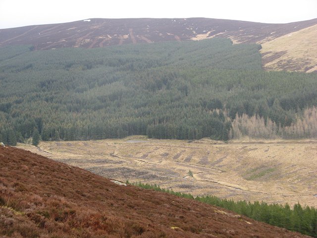
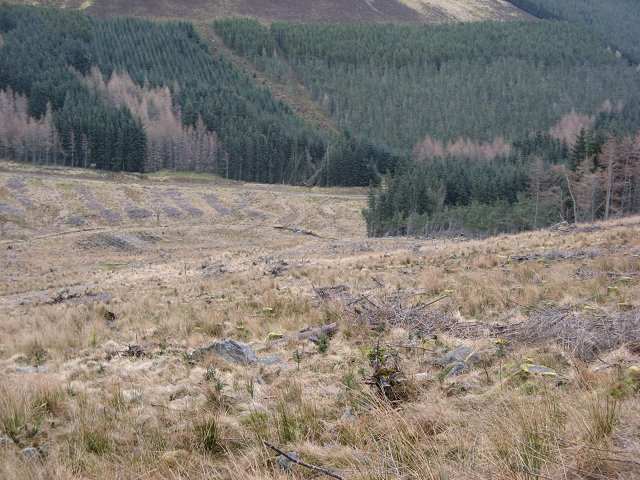
Images are sourced within 2km of 56.815437/-3.2413117 or Grid Reference NO2470. Thanks to Geograph Open Source API. All images are credited.

The road up Glen Prosen
Prosen Water The Prosen Water viewed from the bridge with the mountain of Mayer just visible in the distance.
Prosen Water
The Prosen Water viewed from the bridge with the mountain of Mayer just visible in the distance.
Burn of Louie The Burn of Louie viewed from the track in Glen Prosen.
Burn of Louie
The Burn of Louie viewed from the track in Glen Prosen.
Graveyard of stumps Remnants of the cleared forest on the Kilbo Path at King's Seat.
Graveyard of stumps
Remnants of the cleared forest on the Kilbo Path at King's Seat.
Kilbo, Glen Prosen The restored bothy at Kilbo in the upper reach of Glen Prosen.
Kilbo, Glen Prosen
The restored bothy at Kilbo in the upper reach of Glen Prosen.
Glen Prosen sheep Sheep among the remnants of the cleared forest in the upper reaches of Glen Prosen.
Glen Prosen sheep
Sheep among the remnants of the cleared forest in the upper reaches of Glen Prosen.
Head of Glen Damff Top of the glen, a moorland bowl beneath Craigie Thieves.
Head of Glen Damff
Top of the glen, a moorland bowl beneath Craigie Thieves.
Cairn Daunie The summit, more an end to a steeper section of ridge. 631m.
Cairn Daunie
The summit, more an end to a steeper section of ridge. 631m.
Bada na Goibhre The annoying purple line on the map shows the course of an even more annoying fence. Recently erected to replace an old worn down fence, it has hardly any crossing places. Especially irritating is where it passes the site of gates in the old fence. The weather tends to damage fences this high, so the problem will not be around too long.  The fence surrounds the forest in Glen Taitney and Glen Finlet. 
There is a prominent pyramidal cairn here too, marked on the 1:50 000 map.
Bada na Goibhre
The annoying purple line on the map shows the course of an even more annoying fence. Recently erected to replace an old worn down fence, it has hardly any crossing places. Especially irritating is where it passes the site of gates in the old fence. The weather tends to damage fences this high, so the problem will not be around too long. The fence surrounds the forest in Glen Taitney and Glen Finlet. There is a prominent pyramidal cairn here too, marked on the 1:50 000 map.
Cairn Daunie View across a boggy flat topped ridge to Cairn Daunie.
Cairn Daunie
View across a boggy flat topped ridge to Cairn Daunie.
Deer fence, Bada na Goibhre Fence supposedly keeping deer out of the forest in Glen Finlet. I saw many more deer in the forest than on the hill. The fence has bamboo canes in it to make it visible to grouse, but I saw several dead grouse by it.  
The fence has no crossing points for miles, and is an obstacle to descent from the hill.
Deer fence, Bada na Goibhre
Fence supposedly keeping deer out of the forest in Glen Finlet. I saw many more deer in the forest than on the hill. The fence has bamboo canes in it to make it visible to grouse, but I saw several dead grouse by it. The fence has no crossing points for miles, and is an obstacle to descent from the hill.
Bada na Goibhre High moorland looking north along the fence towards Craigie Thieves.
Bada na Goibhre
High moorland looking north along the fence towards Craigie Thieves.
Craigie Thieves Two fences, a new one and an old rotten one run along the ridge above Glen Prosen. The ridge has a new administrative role now as the boundary of the Cairngorm National Park.
Craigie Thieves
Two fences, a new one and an old rotten one run along the ridge above Glen Prosen. The ridge has a new administrative role now as the boundary of the Cairngorm National Park.
Craigie Thieves Fence junction on Craigie Thieves. Distant view towards the southern slope of Driesh across Glen Prosen.
Craigie Thieves
Fence junction on Craigie Thieves. Distant view towards the southern slope of Driesh across Glen Prosen.
South Call Burn Moorland below Bodnasparet, drained by the South Call Burn. The Glack of  Balquader is just hidden to the left of the long hill of Craigie Thieves.
South Call Burn
Moorland below Bodnasparet, drained by the South Call Burn. The Glack of Balquader is just hidden to the left of the long hill of Craigie Thieves.
Glen Finlet The meander in the Finlet Burn is on the grid line.  Now revealed by clear felling.
Glen Finlet
The meander in the Finlet Burn is on the grid line. Now revealed by clear felling.
Glen Finlet Forest beneath Craigie Thieves.
Glen Finlet
Forest beneath Craigie Thieves.
Glen Finlet A cleared and recently replanted area in Glen Finlet.
Glen Finlet
A cleared and recently replanted area in Glen Finlet.
Show me another place!

Craigie Thieves is located at Grid Ref: NO2470 (Lat: 56.815437, Lng: -3.2413117)

Unitary Authority: Angus

Police Authority: Tayside

What 3 Words

///brew.items.shirts. Near Kirriemuir, Angus

Nearby Locations

Craigie Thieves

Related Wikis

Mayar (mountain)

Mayar is a mountain in the Grampians, in Angus, Scotland. It is usually climbed together with its near neighbour, Driesh. At an elevation of 928 m, it...

Driesh

Driesh (Gaelic: Dris) is a mountain located in the Grampians of Scotland. Apart from Mount Keen (939 m/3,080 ft), it is the most easterly of the Munro...

Corrie Fee

Corrie Fee is a glacier-carved corrie situated at the head of Glen Clova in the Angus Glens of Scotland. It forms part of Corrie Fee National Nature Reserve...

Glen Doll

Glen Doll, also sometimes spelt Glendoll, lies within the Cairngorms National Park, Scotland, at the top of Glen Clova, in an area of steep hills, corries...

Nearby Amenities

Located within 500m of 56.815437,-3.2413117
Craigie Thieves
Ele: 687
Natural: peak
Lat/Long: 56.8154085/-3.2405768
The data included in this document is from www.openstreetmap.org. The data is made available under ODbL.

Have you been to Craigie Thieves?

Leave your review of Craigie Thieves below (or comments, questions and feedback).