Broom Hill

Hill, Mountain in Angus

Scotland

Broom Hill

The plateau at the end of Glen Isla Coming down Mid Hill this is the view towards the next hills, Tarmach Cairn and Bawhelps, which are just little bumps in the large plateau that extends from here to Loch Muick in the north, Glen Shee in the west and who knows what in the east. The nose that shows up in the background is, if I'm not mistaken, part of Mayar.
The plateau at the end of Glen Isla Credit: Aleks Scholz

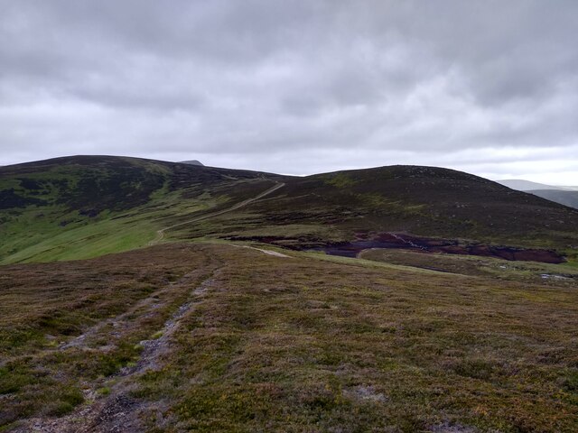
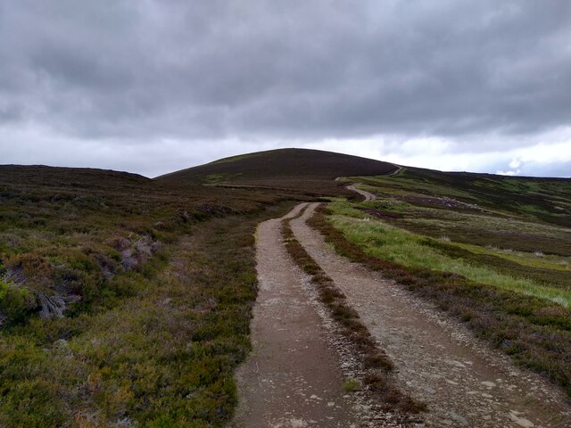
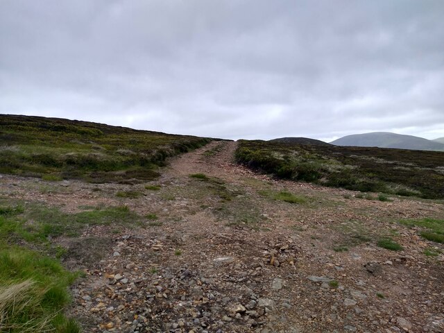
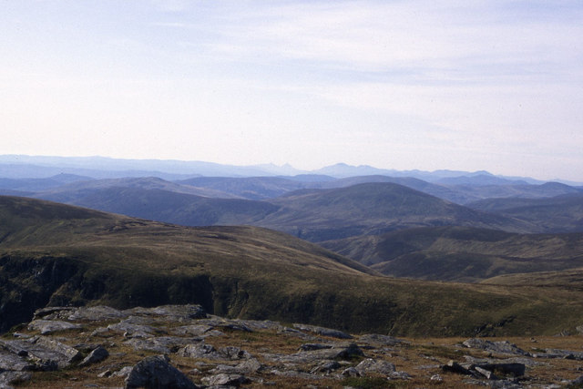
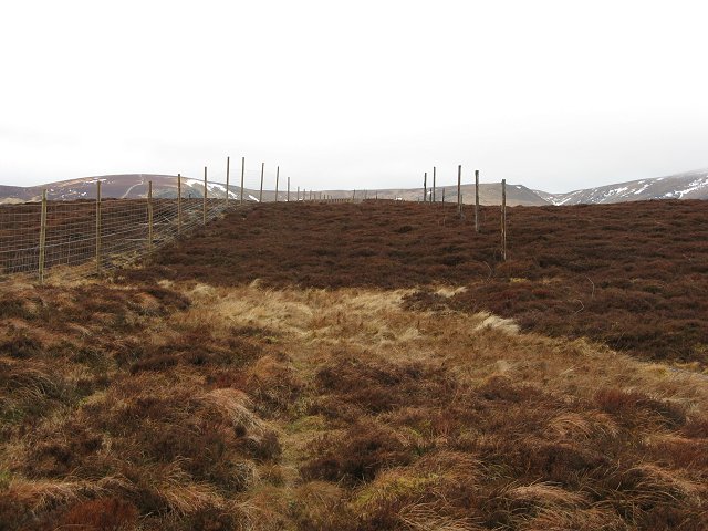
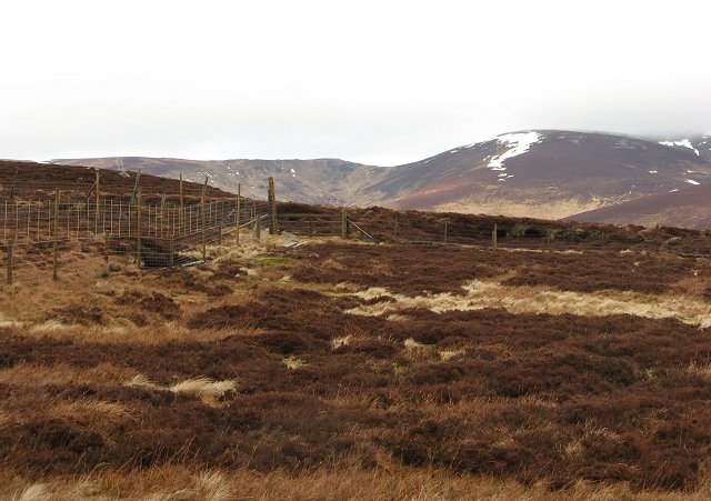
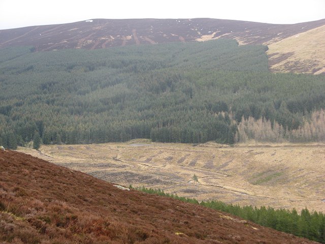
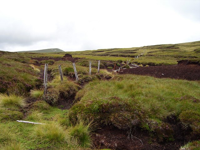
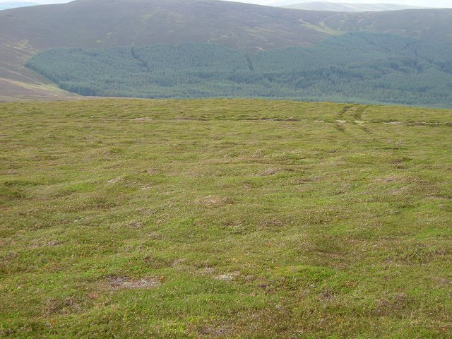
Broom Hill is a prominent hill located in the county of Angus, Scotland. Situated near the village of Letham, it stands at an elevation of approximately 248 meters (814 feet) above sea level. The hill offers impressive panoramic views of the surrounding countryside and is a popular destination for outdoor enthusiasts and nature lovers.

Covered in lush green vegetation, Broom Hill is characterized by its gentle slopes and rolling terrain, making it accessible to hikers and walkers of varying abilities. It is adorned with a mix of deciduous and coniferous trees, including oak, birch, and pine, adding to its scenic beauty.

Historically, Broom Hill has served as a landmark and reference point for locals. Its strategic location has made it an important site for navigation as well. The hill is also known for its diverse wildlife, with a variety of birds and small mammals inhabiting its slopes.

Visitors to Broom Hill can enjoy a range of recreational activities, including walking, picnicking, and birdwatching. The hill is crisscrossed by numerous footpaths and trails, allowing visitors to explore its natural wonders at their own pace.

Overall, Broom Hill in Angus offers a serene and picturesque setting, providing a tranquil escape from the hustle and bustle of everyday life. With its breathtaking views, abundant wildlife, and accessible trails, it is a destination that appeals to both nature enthusiasts and those seeking a peaceful retreat.

If you have any feedback on the listing, please let us know in the comments section below.

Broom Hill Images

Images are sourced within 2km of 56.825407/-3.2540784 or Grid Reference NO2371. Thanks to Geograph Open Source API. All images are credited.

The plateau at the end of Glen Isla Coming down Mid Hill this is the view towards the next hills, Tarmach Cairn and Bawhelps, which are just little bumps in the large plateau that extends from here to Loch Muick in the north, Glen Shee in the west and who knows what in the east. The nose that shows up in the background is, if I'm not mistaken, part of Mayar.
The plateau at the end of Glen Isla
Coming down Mid Hill this is the view towards the next hills, Tarmach Cairn and Bawhelps, which are just little bumps in the large plateau that extends from here to Loch Muick in the north, Glen Shee in the west and who knows what in the east. The nose that shows up in the background is, if I'm not mistaken, part of Mayar.
Summit of Mid Hill This, I think, is the summit cairn of Mid Hill, a pretty non-descript hill at the end of Glen Isla, which leads onto a large plateau. This cairn is fairly small, not really a cairn. A bit further west is a larger stony structure, but this seems slightly higher.
Summit of Mid Hill
This, I think, is the summit cairn of Mid Hill, a pretty non-descript hill at the end of Glen Isla, which leads onto a large plateau. This cairn is fairly small, not really a cairn. A bit further west is a larger stony structure, but this seems slightly higher.
Track up Mid Hill The last kilometre of the track up Mid Hill. This is a very boring track, bulldozed onto the hill, but it gives easy access to the hills beyond.
Track up Mid Hill
The last kilometre of the track up Mid Hill. This is a very boring track, bulldozed onto the hill, but it gives easy access to the hills beyond.
Four way crossroads The rare four way crossroads of bulldozed hill tracks. The track to the left leads onto the summit of Mid Hill. The one straight circumvents the summit and leads further onto the plateau. The one on the right leads to Craig Lair, and can then be used to get back to Glen Isla.
Four way crossroads
The rare four way crossroads of bulldozed hill tracks. The track to the left leads onto the summit of Mid Hill. The one straight circumvents the summit and leads further onto the plateau. The one on the right leads to Craig Lair, and can then be used to get back to Glen Isla.
Kilbo Path, Cairn Dye Rutted section of the Kilbo Path coming down Cairn Dye.
Kilbo Path, Cairn Dye
Rutted section of the Kilbo Path coming down Cairn Dye.
Graveyard of stumps Remnants of the cleared forest on the Kilbo Path at King's Seat.
Graveyard of stumps
Remnants of the cleared forest on the Kilbo Path at King's Seat.
Kilbo, Glen Prosen The restored bothy at Kilbo in the upper reach of Glen Prosen.
Kilbo, Glen Prosen
The restored bothy at Kilbo in the upper reach of Glen Prosen.
South Craig and surrounding area as seen from Mayar
Craigie Thieves Two fences, a new one and an old rotten one run along the ridge above Glen Prosen. The ridge has a new administrative role now as the boundary of the Cairngorm National Park.
Craigie Thieves
Two fences, a new one and an old rotten one run along the ridge above Glen Prosen. The ridge has a new administrative role now as the boundary of the Cairngorm National Park.
Craigie Thieves Fence junction on Craigie Thieves. Distant view towards the southern slope of Driesh across Glen Prosen.
Craigie Thieves
Fence junction on Craigie Thieves. Distant view towards the southern slope of Driesh across Glen Prosen.
South Call Burn Moorland below Bodnasparet, drained by the South Call Burn. The Glack of  Balquader is just hidden to the left of the long hill of Craigie Thieves.
South Call Burn
Moorland below Bodnasparet, drained by the South Call Burn. The Glack of Balquader is just hidden to the left of the long hill of Craigie Thieves.
Glen Finlet Forest beneath Craigie Thieves.
Glen Finlet
Forest beneath Craigie Thieves.
Bawhelps The summit, scarred by vehicle tracks. I expect there will soon be a built road here.
Bawhelps
The summit, scarred by vehicle tracks. I expect there will soon be a built road here.
Bawhelps The mineral rich soil from the schist rocks allows the growth of some nutritious plants to support a large hare population.
Bawhelps
The mineral rich soil from the schist rocks allows the growth of some nutritious plants to support a large hare population.
Birkentree The land that is not exposed to the wind is covered in peat deposits, often eroded. The process is rapid as can be seen by the exposed posts on the old fence.
The fence would be a remnant from sheep farming days, I saw few sheep on this trip.  There has been a retreat from sheep farming across the Highlands, with a lot of land being used only as sporting estates.
Birkentree
The land that is not exposed to the wind is covered in peat deposits, often eroded. The process is rapid as can be seen by the exposed posts on the old fence. The fence would be a remnant from sheep farming days, I saw few sheep on this trip. There has been a retreat from sheep farming across the Highlands, with a lot of land being used only as sporting estates.
Eroded peat Exposed peat on the col between Mid Hill and Tarmach Cairn
Eroded peat
Exposed peat on the col between Mid Hill and Tarmach Cairn
Bulldozed road, Tarmach Cairn No "Tarmach" fortunately, but a crude road, it rained soon after this was taken, it was a stream bed, with the water taking a lot of the surface away with it. Normally water bars are used, ditches across the road to take the destructive water safely away to the side.
Bulldozed road, Tarmach Cairn
No "Tarmach" fortunately, but a crude road, it rained soon after this was taken, it was a stream bed, with the water taking a lot of the surface away with it. Normally water bars are used, ditches across the road to take the destructive water safely away to the side.
Mid Hill Near the summit, looking down to the head of Glen Finlet and its forest. 
Well drained thin soils and  crisp heather , the plants not growing high because of the wind. Very few flowers as well.
Mid Hill
Near the summit, looking down to the head of Glen Finlet and its forest. Well drained thin soils and crisp heather , the plants not growing high because of the wind. Very few flowers as well.
Show me another place!

Broom Hill is located at Grid Ref: NO2371 (Lat: 56.825407, Lng: -3.2540784)

Unitary Authority: Angus

Police Authority: Tayside

What 3 Words

///exam.gravel.financial. Near Alyth, Perth & Kinross

Nearby Locations

Broom Hill White Glen

Related Wikis

Mayar (mountain)

Mayar is a mountain in the Grampians, in Angus, Scotland. It is usually climbed together with its near neighbour, Driesh. At an elevation of 928 m, it...

Corrie Fee

Corrie Fee is a glacier-carved corrie situated at the head of Glen Clova in the Angus Glens of Scotland. It forms part of Corrie Fee National Nature Reserve...

Driesh

Driesh (Gaelic: Dris) is a mountain located in the Grampians of Scotland. Apart from Mount Keen (939 m/3,080 ft), it is the most easterly of the Munro...

Glen Doll

Glen Doll, also sometimes spelt Glendoll, lies within the Cairngorms National Park, Scotland, at the top of Glen Clova, in an area of steep hills, corries...

Nearby Amenities

Located within 500m of 56.825407,-3.2540784
Broom Hill
Place: locality
Lat/Long: 56.8253902/-3.2531468
The data included in this document is from www.openstreetmap.org. The data is made available under ODbL.

Have you been to Broom Hill?

Leave your review of Broom Hill below (or comments, questions and feedback).