King's Seat
Hill, Mountain in Perthshire
Scotland
King's Seat
![The Long Man's Grave "Traditionally the grave of a suicide, or perhaps the victim of a murder; according to Hunter, that of Macbeth. The tumulus when examined, however, proved to be a 'druidical stone' that had toppled over. Nothing was found to support these traditions."
"This grave is marked by a stone slab, 0.5m wide and 1.8m long, lying flush with the ground on the grass-verge of the road and with the modern stone dyke over-riding one end. This stone is probably a 'grave slab' and not a "standing stone" which has toppled over. There is no evidence of a cairn or tumulus."
‘“The Long Man’s Grave” | Canmore’. 2023. Canmore.org.uk &lt;<span class="nowrap"><a title="https://canmore.org.uk/site/30663" rel="nofollow ugc noopener" href="https://canmore.org.uk/site/30663">Link</a><img style="margin-left:2px;" alt="External link" title="External link - shift click to open in new window" src="https://s1.geograph.org.uk/img/external.png" width="10" height="10"/></span> &gt; [accessed 11 March 2023]](https://s0.geograph.org.uk/geophotos/07/42/91/7429140_bc0d2c88.jpg)
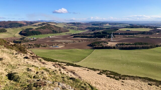
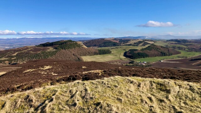
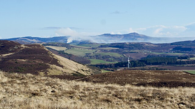
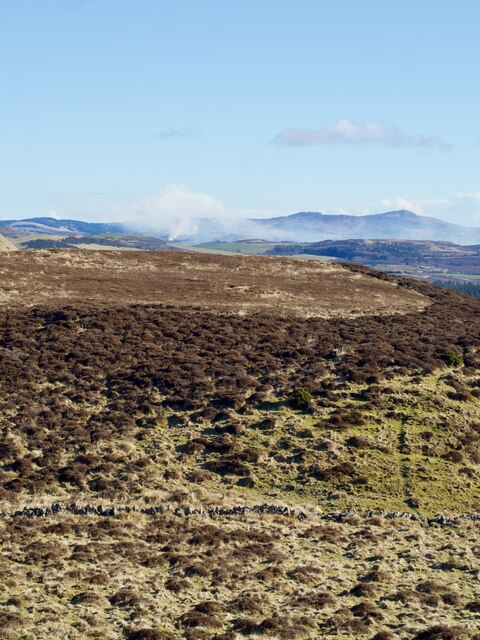
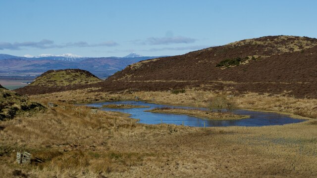
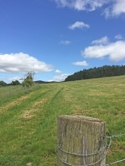
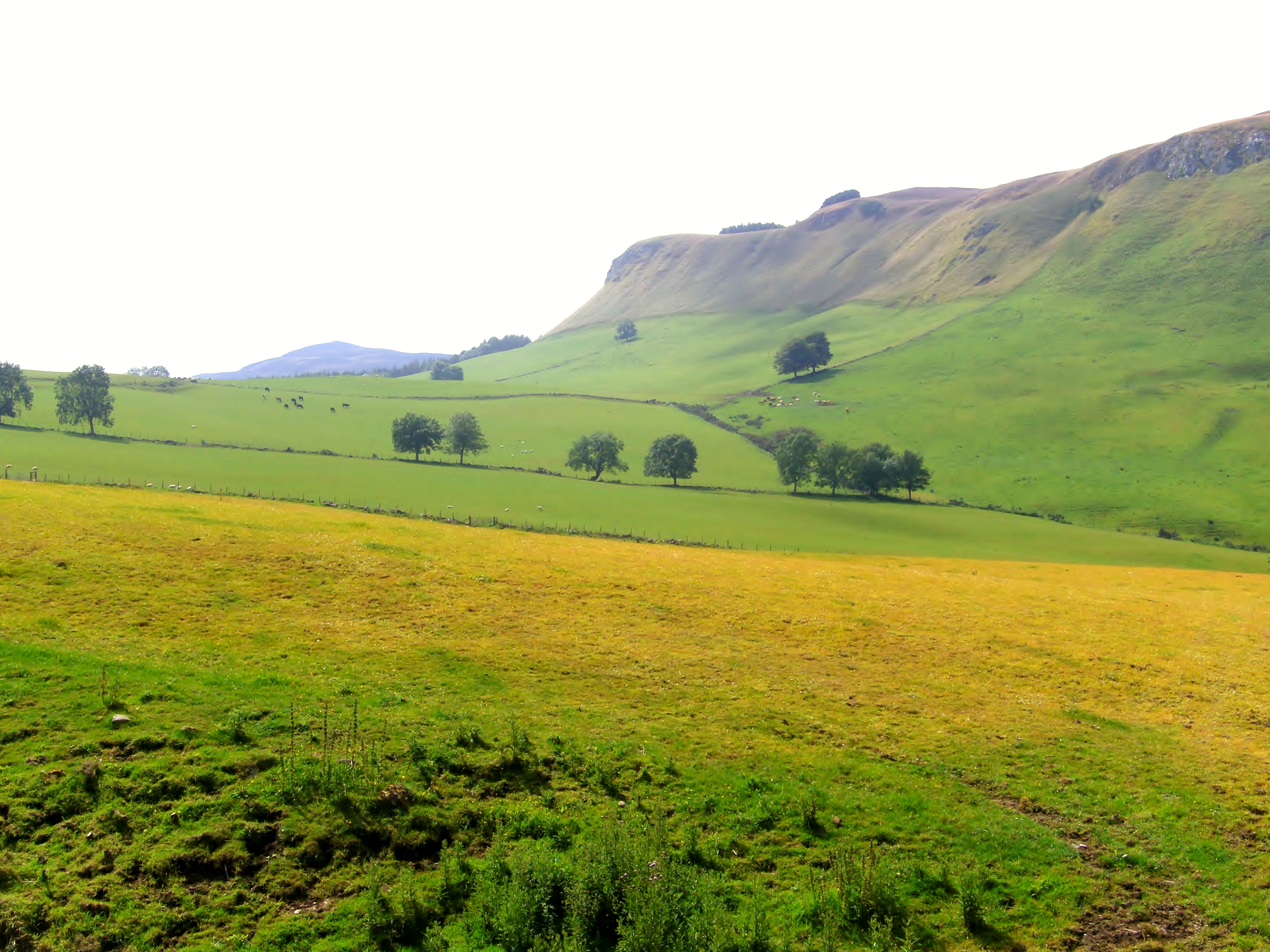
King's Seat is a prominent hill located in Perthshire, Scotland. It stands at an elevation of 377 meters (1,237 feet) above sea level and is part of the Ochil Hills range. The hill is situated near the town of Tillicoultry and offers stunning panoramic views of the surrounding countryside.
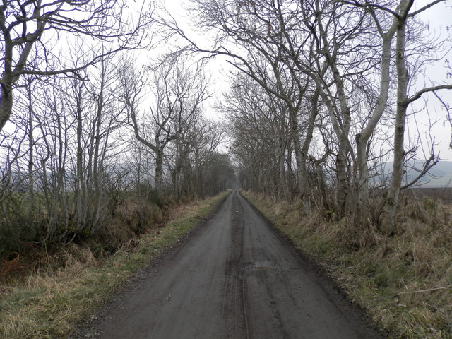
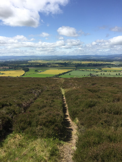
The ascent to the summit of King's Seat is relatively moderate, with well-defined paths that make it accessible to hikers of various skill levels. The hill is covered in heather and grass, providing a picturesque landscape throughout the year. As visitors make their way to the top, they can enjoy the diverse flora and fauna that call this area home.
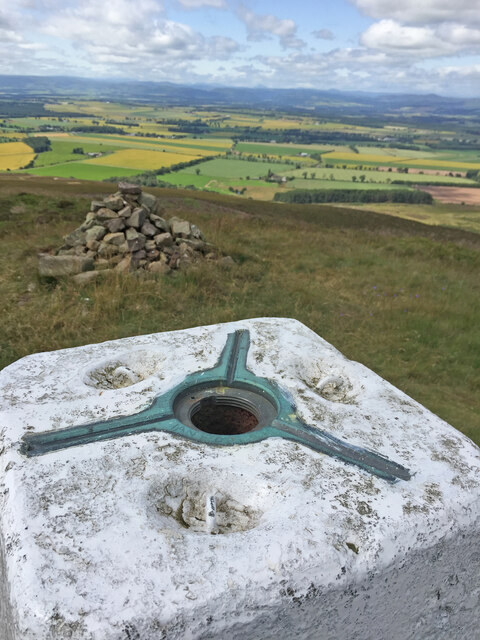
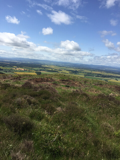
At the summit, there is a trig point that marks the highest point of the hill. From this vantage point, one can admire breathtaking views of the Ochil Hills, the Forth Valley, and even the distant peaks of the Grampian Mountains on a clear day. Additionally, the nearby Trossachs National Park and Loch Lomond can be seen in the distance, adding to the beauty of the vista.
King's Seat is a popular destination for outdoor enthusiasts, attracting hikers, walkers, and nature lovers from near and far. The hill provides a tranquil escape from the hustle and bustle of everyday life, allowing visitors to immerse themselves in the peaceful surroundings and connect with nature. Whether it's a leisurely stroll or a challenging hike, King's Seat offers a rewarding experience for all.
If you have any feedback on the listing, please let us know in the comments section below.
King's Seat Images
Images are sourced within 2km of 56.482932/-3.2507136 or Grid Reference NO2333. Thanks to Geograph Open Source API. All images are credited.
![The Long Man's Grave &quot;Traditionally the grave of a suicide, or perhaps the victim of a murder; according to Hunter, that of Macbeth. The tumulus when examined, however, proved to be a &#039;druidical stone&#039; that had toppled over. Nothing was found to support these traditions.&quot;
&quot;This grave is marked by a stone slab, 0.5m wide and 1.8m long, lying flush with the ground on the grass-verge of the road and with the modern stone dyke over-riding one end. This stone is probably a &#039;grave slab&#039; and not a &quot;standing stone&quot; which has toppled over. There is no evidence of a cairn or tumulus.&quot;
‘“The Long Man’s Grave” | Canmore’. 2023. Canmore.org.uk &lt;<span class="nowrap"><a title="https://canmore.org.uk/site/30663" rel="nofollow ugc noopener" href="https://canmore.org.uk/site/30663">Link</a><img style="margin-left:2px;" alt="External link" title="External link - shift click to open in new window" src="https://s1.geograph.org.uk/img/external.png" width="10" height="10"/></span> &gt; [accessed 11 March 2023]](https://s1.geograph.org.uk/geophotos/07/42/91/7429145_ce0d0012.jpg)


King's Seat is located at Grid Ref: NO2333 (Lat: 56.482932, Lng: -3.2507136)
Unitary Authority: Perth and Kinross
Police Authority: Tayside
What 3 Words
///detail.strapping.alien. Near Inchture, Perth & Kinross
Nearby Locations
Related Wikis

King's Seat
King's Seat (Scottish Gaelic: Ceann Sidhe) is one of the principal hills of the Sidlaw range in South East Perthshire. At 377 metres (1,237 ft), it is...

Black Hill (Sidlaw Hills)
Black Hill is one of the steepest hills of the Sidlaw range in South East Perthshire. Black Hill is located near Collace and is smaller than King's Seat...
Gask Hill
Gask Hill is one of the least climbed hills of the Sidlaw range in south east Perthshire, Scotland. Gask Hill is located near Coupar Angus and is seen...

Battle of Dunsinane
The Battle of Dunsinane, also known as the Battle of the Seven Sleepers, was fought between the forces of Macbeth, King of Scotland and forces led by Siward...
Dunsinane Hill
Dunsinane Hill ( dun-SIN-ən) is a hill of the Sidlaws near the village of Collace in Perthshire, Scotland. It is mentioned in Shakespeare's play Macbeth...

Collace
Collace () is a parish in Perthshire, Scotland, 8 miles (13 kilometres) northeast of Perth, in the Carse of Gowrie district. The parish boundary includes...

Northballo Hill
Northballo Hill is one of the hills of the Sidlaw range in South East Perthshire, and is located near Coupar Angus. It is popular with dog walkers and...
Abernyte
Abernyte is a small village in Perth and Kinross in Scotland. == Geography == The village lies roughly 2 miles (3 kilometres) northwest of the former Inchture...
Nearby Amenities
Located within 500m of 56.482932,-3.2507136Have you been to King's Seat?
Leave your review of King's Seat below (or comments, questions and feedback).