Baspard Hill
Hill, Mountain in Fife
Scotland
Baspard Hill
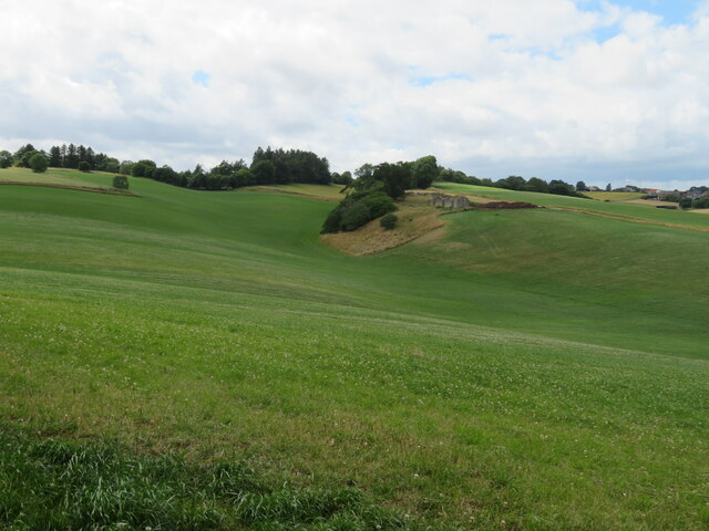
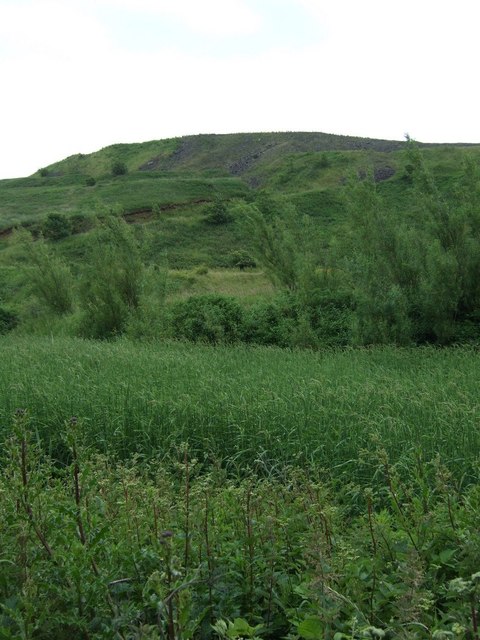
Baspard Hill, located in Fife, Scotland, is a prominent hill that stands at an elevation of approximately 273 meters (896 feet). Situated near the village of Baspard, the hill offers stunning panoramic views of the surrounding countryside.
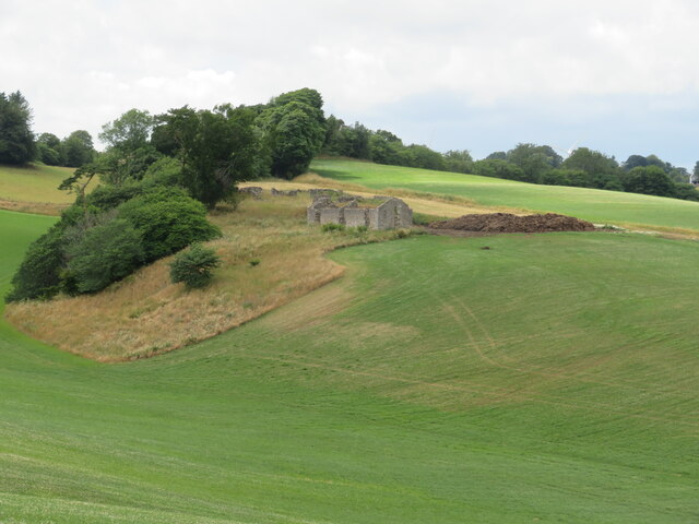
The hill itself is formed from sedimentary rocks, primarily sandstones and shales, which were deposited during the Carboniferous period. Over the years, erosion has sculpted the landscape, giving Baspard Hill its characteristic shape.
The summit of Baspard Hill is relatively flat, providing a suitable spot for hillwalkers to take a rest and soak in the breathtaking scenery. On clear days, visitors can enjoy unobstructed vistas of the rolling hills, fertile farmland, and distant coastline.
The hill is a popular destination for outdoor enthusiasts, offering various walking and hiking trails that cater to different skill levels. One of the most common routes to the summit starts from a small car park near the village, leading walkers through a mixture of woodland and open moorland before reaching the top.
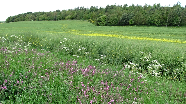
Nature enthusiasts will also appreciate the diverse flora and fauna found on Baspard Hill. The area is home to a range of plant species, including heather, gorse, and wildflowers. Birdwatchers may spot various avian species, such as red grouse, skylarks, and buzzards.
Overall, Baspard Hill provides a picturesque and accessible outdoor experience, attracting both locals and tourists seeking to explore the natural beauty of Fife's countryside.
If you have any feedback on the listing, please let us know in the comments section below.
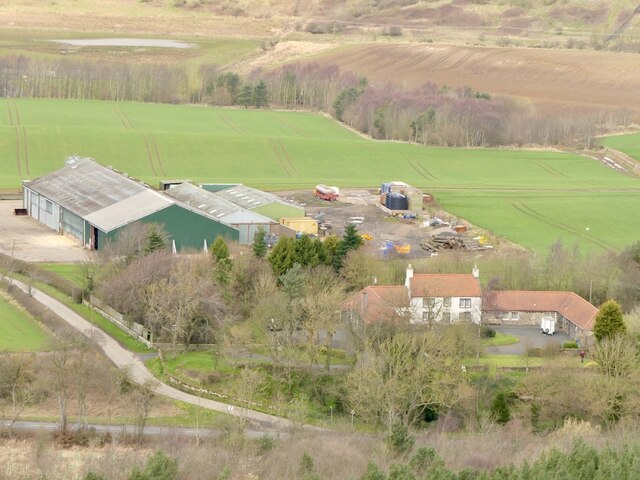
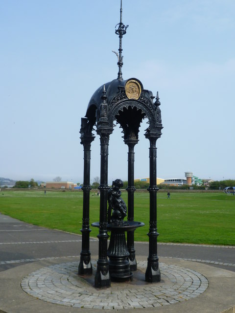
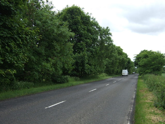
Baspard Hill Images
Images are sourced within 2km of 56.080706/-3.239014 or Grid Reference NT2288. Thanks to Geograph Open Source API. All images are credited.


Baspard Hill is located at Grid Ref: NT2288 (Lat: 56.080706, Lng: -3.239014)
Unitary Authority: Fife
Police Authority: Fife
What 3 Words
///each.materials.toggle. Near Burntisland, Fife
Nearby Locations
Related Wikis
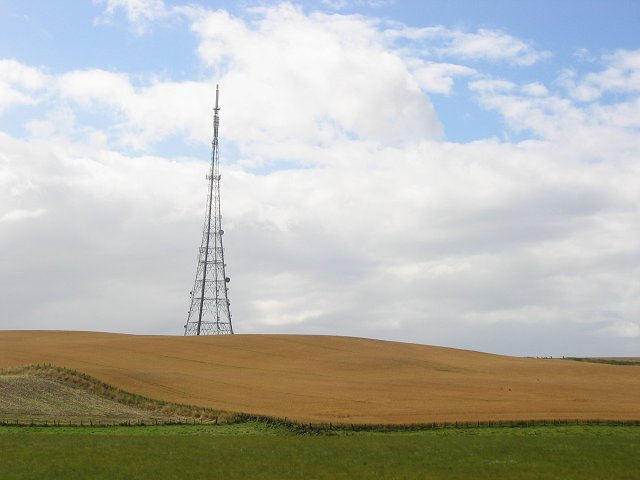
Craigkelly transmitting station
The Craigkelly transmitting station is a broadcasting and telecommunications facility located at Craigkelly (grid reference NT233872) north of the Firth...

Binnend
Binnend, also known as Binnend Village and The Binn, is an abandoned industrial village located two miles north of Burntisland in Fife. It was established...

Burntisland Shipyard F.C.
Burntisland Shipyard Football Club are a Scottish football club based in the town of Burntisland, Fife. The club competes in the East of Scotland League...
Battle of Kinghorn
The Battle of Kinghorn was fought on 6 August 1332 at Wester Kinghorn (now Burntisland), Fife, Scotland. An invading seaborne force of 1,500 men was commanded...
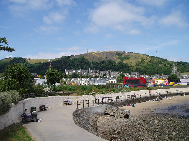
Burntisland
Burntisland ( , Scots: Bruntisland) is a former royal burgh and parish in Fife, Scotland, on the northern shore of the Firth of Forth. According to the...
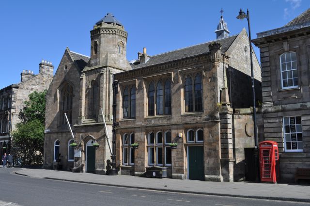
Burntisland Burgh Chambers
Burntisland Burgh Chambers is a municipal structure in the High Street, Burntisland, Fife, Scotland. The building, which is the meeting place of the Burntisland...

Rossend Castle
Rossend Castle is a historic building in Burntisland, a town on the south coast of Fife, Scotland. == History == A keep, known as the Tower of Kingorne...

Burntisland Parish Church
Burntisland Parish Church (also known as St Columba's, Burntisland) is a church building in the Fife burgh of Burntisland, constructed for the Church of...
Related Videos

🇵🇭 Filipino in Scotland 🏴 Our first cardio up THE BINN in FIFE BURNTISLAND
TheBinn #Burntisland #fife Get to know more here https://www.patreon.com/AdventuresOfaFilipina ...


A Walk Up The Binn at Burntisland
A short hill-walk in Fife close to the town of Burntisland. The trek to the top of The Binn offers awesome views over the Firth of Forth ...

Feeding Pygmy Goats at The Buffalo Farm Kirkcaldy Scotland UK | Filipina Pandemic Travel Vlog
Get to know more here https://www.patreon.com/AdventuresOfaFilipina I'm from the Philippines and I travel frequently to the ...
Nearby Amenities
Located within 500m of 56.080706,-3.239014Have you been to Baspard Hill?
Leave your review of Baspard Hill below (or comments, questions and feedback).