Allermuir Hill
Hill, Mountain in Midlothian
Scotland
Allermuir Hill
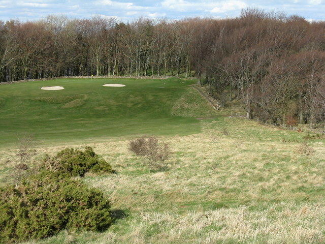
![Western Edinburgh from above Swanston Looking over Lothianburn golf course. To the left of the trees [the 'T-wood'] is the valley of the Swanston Burn, beyond which are the upper reaches of Swanston Golf Course, then Dreghorn and Redford Barracks and, even further in the distance, Corstorphine Hill and the Firth of Forth [11 km away]](https://s1.geograph.org.uk/geophotos/02/33/72/2337289_b81b7753.jpg)
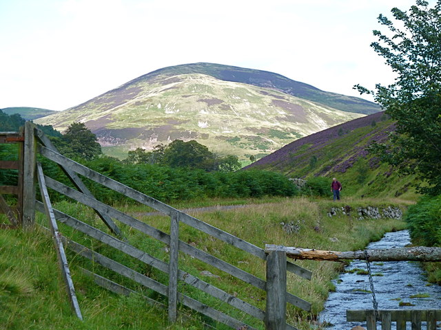
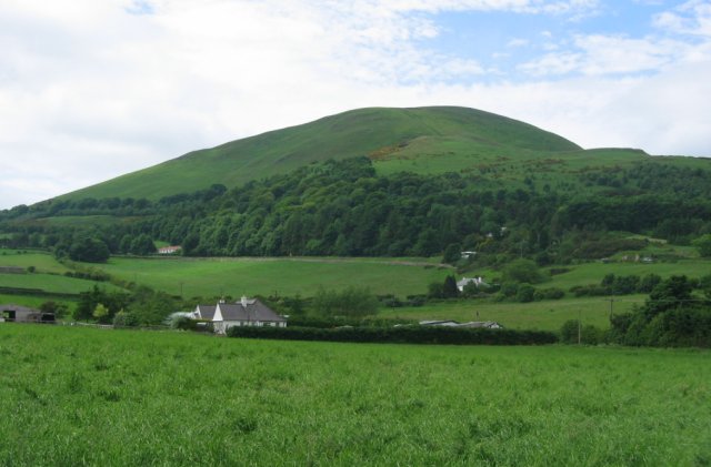
Allermuir Hill is a prominent hill located in the county of Midlothian, Scotland. It is part of the Pentland Hills, a range of hills that stretches from the outskirts of Edinburgh to the southwestern edge of Midlothian. With an elevation of 493 meters (1,617 feet), Allermuir Hill is one of the highest peaks in the Pentlands.
The hill is a popular destination for outdoor enthusiasts, hikers, and nature lovers due to its easily accessible location and stunning panoramic views. It is easily reached from the nearby suburban areas, with several well-marked paths leading to the summit. The ascent can be challenging at times, but the effort is rewarded with breathtaking vistas over the surrounding countryside, including the city of Edinburgh, the Firth of Forth, and the Forth Bridges.
Allermuir Hill is covered in a mixture of heather, grasses, and scattered trees, providing a diverse habitat for various flora and fauna. The hill is also home to a variety of bird species, including red grouse and skylarks, making it a popular spot for birdwatching.
The area surrounding Allermuir Hill offers a range of recreational activities, including picnicking, mountain biking, and horseback riding. Additionally, the hill is often used as a training ground for local runners and hillwalkers due to its steep slopes and challenging terrain.
Overall, Allermuir Hill is a stunning natural landmark in Midlothian, offering visitors the opportunity to enjoy the beauty of the Scottish countryside and experience the tranquility of the Pentland Hills.
If you have any feedback on the listing, please let us know in the comments section below.
Allermuir Hill Images
Images are sourced within 2km of 55.882487/-3.2371989 or Grid Reference NT2266. Thanks to Geograph Open Source API. All images are credited.
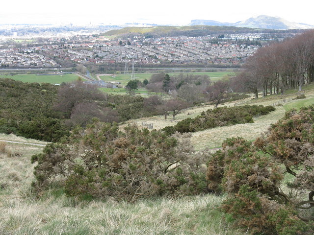
![Edinburgh from Hillend Looking northeastwards from just above the Midlothian Snowsports Centre, over Lothianburn Golf Course and Comiston to The Braid Hills, with Edinburgh Castle to the left [7km] and Salisbury Crags and Arthur&#039;s Seat to the right [7km], and the Firth of Forth, with Inchkeith island in the centre [17km].](https://s2.geograph.org.uk/geophotos/02/33/74/2337422_7b849218.jpg)
Allermuir Hill is located at Grid Ref: NT2266 (Lat: 55.882487, Lng: -3.2371989)
Unitary Authority: City of Edinburgh
Police Authority: Edinburgh
What 3 Words
///edge.hidden.wished. Near Colinton, Edinburgh
Nearby Locations
Related Wikis

Caerketton Hill
Caerketton Hill is a hill in the Pentland Hills range of Scotland. Standing at 478 m, it is at the northeast end of the approximately 25 km (16 mi) long...

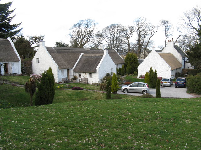
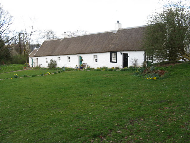
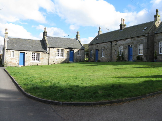
Swanston, Edinburgh
Swanston is a village and residential area on the southern edge of Edinburgh, Scotland, noted for its picturesque thatched cottages set around an informal...

Bonaly
Bonaly () is an area on the south-western outskirts of Edinburgh and the northern slopes of the Pentland Hills, lying within the Parish of Colinton. It...

Castle Law
Castle Law is a hill south west of Fairmilehead in the Pentland Hills in Midlothian, Scotland. It is best known for the Iron Age hill fort on its slopes...
Hunter's Tryst
Hunter's Tryst is the name of a long-established inn in Edinburgh, Scotland; it has lent its name to the surrounding area, near Fairmilehead.The inn, once...
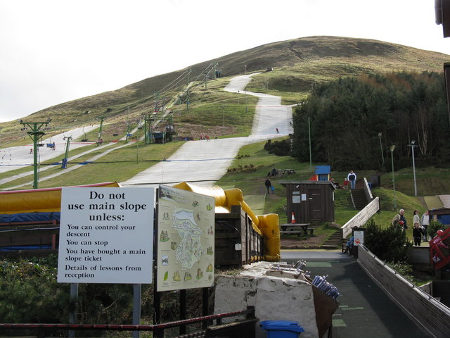
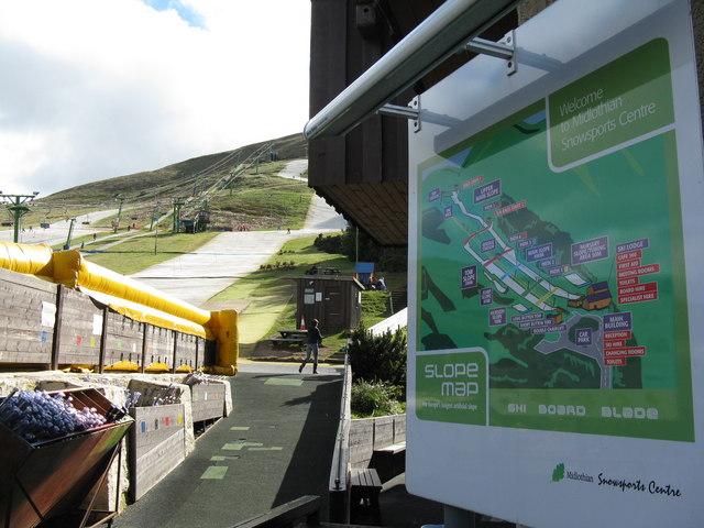
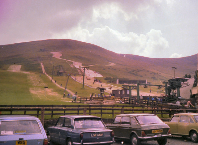
Hillend, Edinburgh
Hillend is a small hamlet in Midlothian, just outside the Scottish capital Edinburgh, best known for the Midlothian Snowsports Centre (formerly the Hillend...

Glencorse Reservoir
Glencorse Reservoir is a reservoir in Midlothian, Scotland, two miles west of Glencorse, in the Pentland Hills. It is retained by an earth dam, and it...

Easter Howgate
Easter Howgate is a settlement in Midlothian, Scotland, UK, on the A702, two miles north of Penicuik. The Scottish Agricultural College maintains a teaching...
Nearby Amenities
Located within 500m of 55.882487,-3.2371989Have you been to Allermuir Hill?
Leave your review of Allermuir Hill below (or comments, questions and feedback).