Paddockhole Hill

Hill, Mountain in Dumfriesshire

Scotland

Paddockhole Hill

Farmland at Pearsby Hall This improved grazing field was stocked with sheep and cattle. Pearsby Hall Farm is in the background.
Farmland at Pearsby Hall Credit: Walter Baxter

Paddockhole Hill is a prominent hill located in Dumfriesshire, Scotland. It is situated within the Southern Uplands, a range of hills and mountains that stretch across the southern part of the country. With an elevation of approximately 263 meters (863 feet), Paddockhole Hill is not particularly tall compared to some of the neighboring peaks, but its distinct shape and location make it a notable landmark in the region.

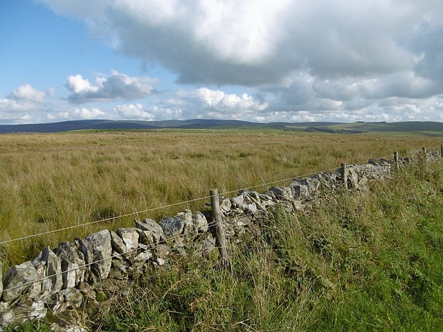
The hill is characterized by its rounded summit and gentle slopes, covered with grass and occasionally dotted with patches of heather. It is predominantly composed of sedimentary rocks, including sandstone and shale, which give the landscape a varied and colorful appearance. Paddockhole Hill is also home to a variety of plant and animal species, including heathland plants and numerous bird species.

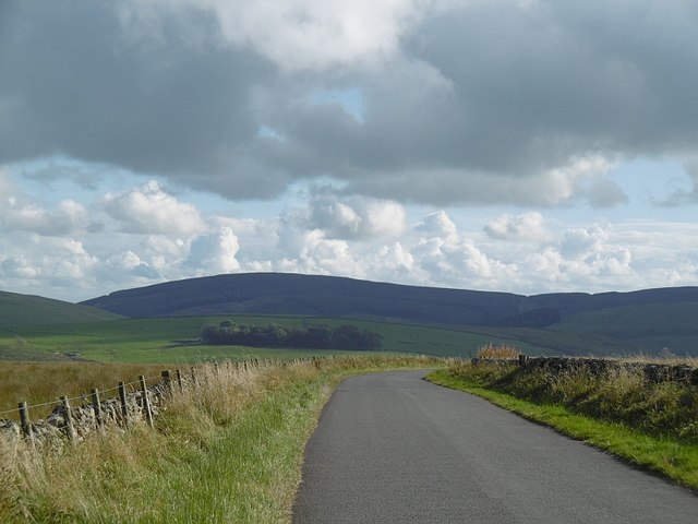
From the top of Paddockhole Hill, visitors can enjoy panoramic views of the surrounding countryside, which features a patchwork of farmland, forests, and rolling hills. On a clear day, it is possible to see as far as the nearby Solway Firth and the distant peaks of the Lake District in England.

The hill is easily accessible, with several footpaths and trails leading to the summit. It is a popular destination for walkers, hikers, and nature enthusiasts, offering a peaceful and picturesque setting to explore. Whether you are looking for a challenging hike or a leisurely stroll, Paddockhole Hill provides a beautiful natural escape in Dumfriesshire.

If you have any feedback on the listing, please let us know in the comments section below.

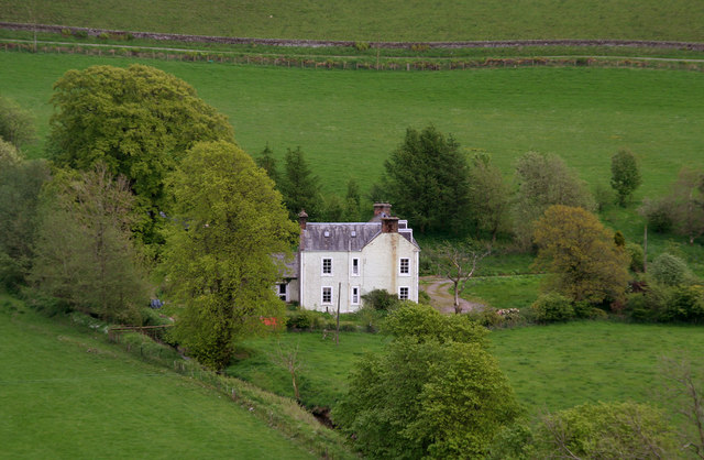
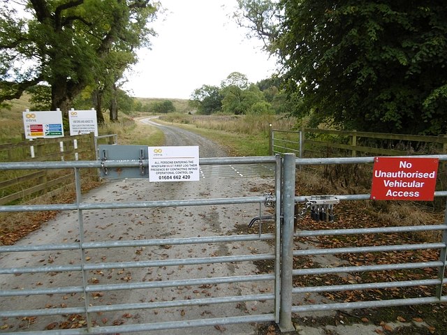
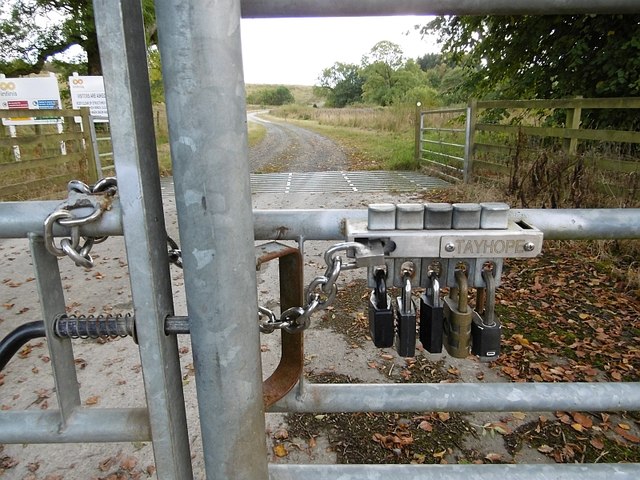
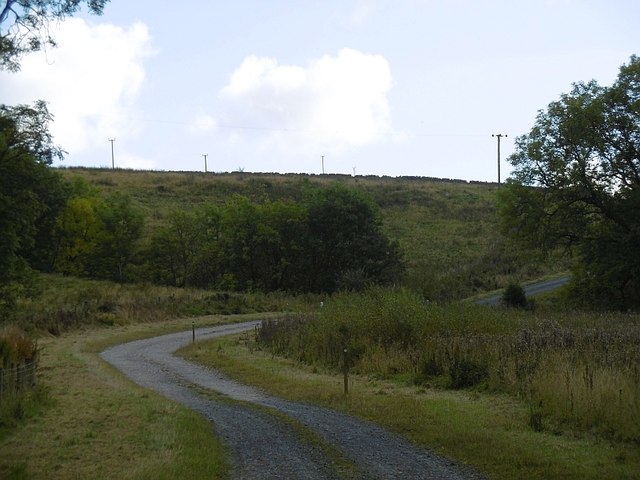
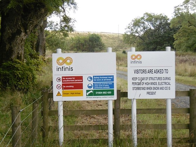
Paddockhole Hill Images

Images are sourced within 2km of 55.145573/-3.2144463 or Grid Reference NY2284. Thanks to Geograph Open Source API. All images are credited.

Farmland at Pearsby Hall This improved grazing field was stocked with sheep and cattle. Pearsby Hall Farm is in the background.
Farmland at Pearsby Hall
This improved grazing field was stocked with sheep and cattle. Pearsby Hall Farm is in the background.
The Cadgill Burn This small hill burn is on the northeast side of Newhall Hill.
The Cadgill Burn
This small hill burn is on the northeast side of Newhall Hill.
Newhall Newhall Farm.
Newhall
Newhall Farm.
Milton House View of Milton House from the side of Birsca.
Milton House
View of Milton House from the side of Birsca.
Corrie to Paddockhole road The road crosses rough pasture on the edge of a vast forested area.
Corrie to Paddockhole road
The road crosses rough pasture on the edge of a vast forested area.
Hill pasture near Corrie Common Rough grazing off Maol Knowe.
Hill pasture near Corrie Common
Rough grazing off Maol Knowe.
Pyatshaws Burn Heading for the Water of Milk.
Pyatshaws Burn
Heading for the Water of Milk.
Old dyke A collapsed field boundary near Paddockhole.
Old dyke
A collapsed field boundary near Paddockhole.
Logpile, Paddockhole Stacked logs awaiting collection. A small conifer wood by the Water of Milk was being cut down.
Logpile, Paddockhole
Stacked logs awaiting collection. A small conifer wood by the Water of Milk was being cut down.
Corrie to Paddockhole road There are young conifers beyond the ashes.
Corrie to Paddockhole road
There are young conifers beyond the ashes.
Newhall Hill Sheep graze some well drained ground on the edge of the Southern Uplands.
Newhall Hill
Sheep graze some well drained ground on the edge of the Southern Uplands.
B7068, Paddockhole Langholm to Lockerbie road.
B7068, Paddockhole
Langholm to Lockerbie road.
Paddockhill Bridge Over the Water of Milk.
Paddockhill Bridge
Over the Water of Milk.
Minsca wind farm entrance A different set of notices from previous photographs suggesting that SSE no longer have an interest here.  One of them seems to have sneaked in to Scotland from somewhere less developed as it attempts to forbid access. Other signage is however compliant with the Law.

As usual, the road uses a new route onto the public road, bypassing a farm.
Minsca wind farm entrance
A different set of notices from previous photographs suggesting that SSE no longer have an interest here. One of them seems to have sneaked in to Scotland from somewhere less developed as it attempts to forbid access. Other signage is however compliant with the Law. As usual, the road uses a new route onto the public road, bypassing a farm.
Locks, Minsca wind farm An "OR gate".  Opening any one of the locks will open the gate. Every interest on the hill has its own lock.
Locks, Minsca wind farm
An "OR gate". Opening any one of the locks will open the gate. Every interest on the hill has its own lock.
Minsca wind farm road There was a road up the hill before the wind farm was built and a new entrance section was built linking it with the road bypassing Linnhall.
Minsca wind farm road
There was a road up the hill before the wind farm was built and a new entrance section was built linking it with the road bypassing Linnhall.
Minsca wind farm notices One seems to have strayed in from east of the border - attempting to forbid access (and smoking!). Other photographs show the site being managed by SSE, now it is Infinis.  Hi Infinis, welcome to Scotland.
Minsca wind farm notices
One seems to have strayed in from east of the border - attempting to forbid access (and smoking!). Other photographs show the site being managed by SSE, now it is Infinis. Hi Infinis, welcome to Scotland.
Water of Milk Downstream of Paddockhole.
Water of Milk
Downstream of Paddockhole.
Show me another place!

Paddockhole Hill is located at Grid Ref: NY2284 (Lat: 55.145573, Lng: -3.2144463)

Unitary Authority: Dumfries and Galloway

Police Authority: Dumfries and Galloway

What 3 Words

///accusing.enigma.outfitter. Near Lockerbie, Dumfries & Galloway

Nearby Locations

Paddockhole Hill

Related Wikis

Annandale and Eskdale

Annandale and Eskdale is a committee area in Dumfries and Galloway, Scotland. It covers the areas of Annandale and Eskdale, the straths of the River Annan...

Whitcastles stone circle

Whitcastles or Little Hartfell (grid reference NY 2240 8806) is a stone circle 6½ miles NE of Lockerbie, Dumfries and Galloway. Nine fallen stones lie...

Burnswark Hill

Burnswark Hill (also known as Birrenswark), to the east of the A74(M) between Ecclefechan and Lockerbie in Dumfries and Galloway, Scotland, is a prominent...

Scotsbrig

Scotsbrig is a farm near Ecclefechan, Dumfries and Galloway, Scotland, and a Category B listed building. Thomas Carlyle lived there with his family in...

Nearby Amenities

Located within 500m of 55.145573,-3.2144463
Ele: 229
Natural: peak
Lat/Long: 55.1454243/-3.213838
Power: pole
Lat/Long: 55.1446325/-3.2078024
Power: pole
Lat/Long: 55.1448018/-3.2090826
Power: pole
Lat/Long: 55.1449608/-3.2103346
Power: pole
Lat/Long: 55.1450447/-3.2110095
Power: pole
Lat/Long: 55.1451684/-3.2119651
Power: pole
Lat/Long: 55.14532/-3.2131372
Power: pole
Lat/Long: 55.1454363/-3.2140852
Power: pole
Lat/Long: 55.1455497/-3.2149532
Power: pole
Lat/Long: 55.1456675/-3.2159218
Power: pole
Lat/Long: 55.1455247/-3.217081
Power: pole
Lat/Long: 55.1453642/-3.2184205
Power: pole
Lat/Long: 55.1451934/-3.2198089
Power: pole
Lat/Long: 55.1450241/-3.2211458
Power: pole
Lat/Long: 55.1462578/-3.2168002
Power: pole
Lat/Long: 55.1468348/-3.2176297
The data included in this document is from www.openstreetmap.org. The data is made available under ODbL.

Have you been to Paddockhole Hill?

Leave your review of Paddockhole Hill below (or comments, questions and feedback).