Base Brown
Hill, Mountain in Cumberland Allerdale
England
Base Brown

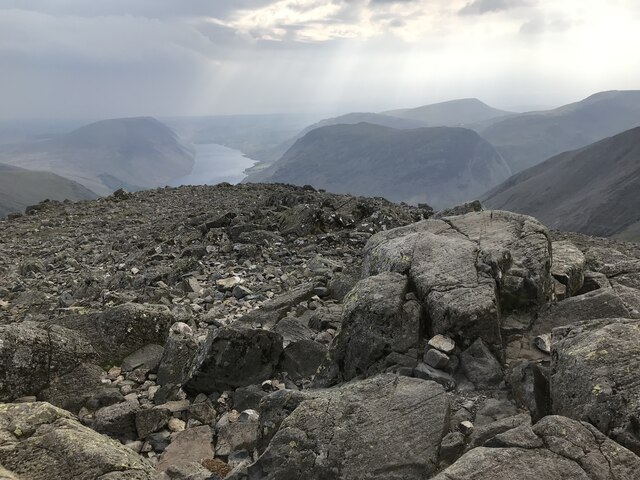
Base Brown is a prominent hill located in the Cumberland region of England. Rising to an elevation of approximately 2,035 feet (620 meters), it is part of the larger range known as the Lake District fells. Situated in the western part of the Lake District National Park, Base Brown offers breathtaking views and is a popular destination for hikers and outdoor enthusiasts.
The hill is characterized by its distinctive brown-colored rocks, which give it its name. It is composed mainly of volcanic rock, specifically andesite and basalt, formed during ancient volcanic activity in the region. The slopes of Base Brown are covered with a mixture of grasses, heather, and scattered trees, adding to its natural beauty.
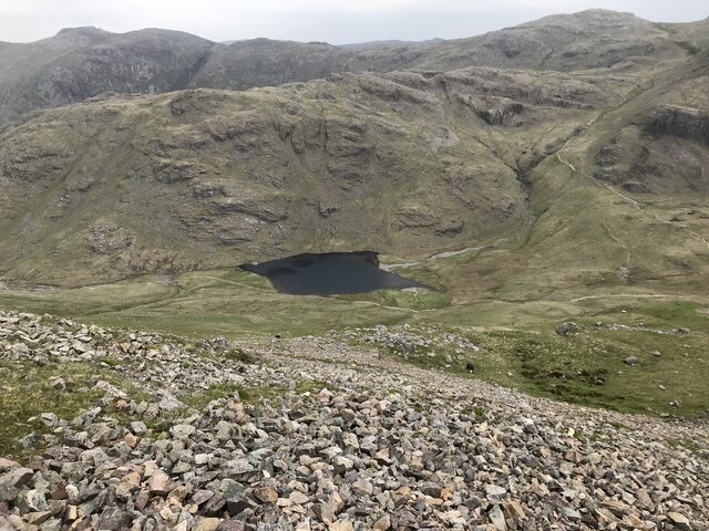
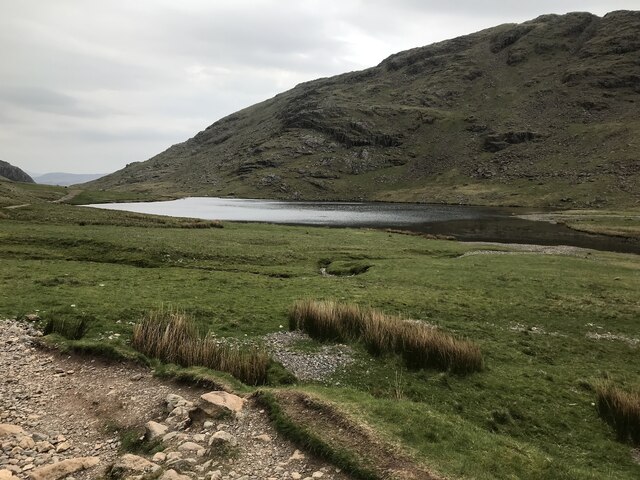
Several walking routes lead to the summit of Base Brown, providing various levels of difficulty for visitors. One such route starts from the Honister Pass, a mountain pass renowned for its scenic beauty. From there, the trail ascends steadily, offering stunning views of nearby peaks, valleys, and lakes. At the summit, hikers are rewarded with panoramic vistas of the surrounding landscape, including the picturesque Buttermere Valley and the famous Lake District mountains, such as Great Gable and Scafell Pike.
Base Brown's location within the Lake District National Park ensures that it remains a popular destination for outdoor activities year-round. Its accessibility and natural beauty make it an ideal spot for hikers, nature lovers, and photographers looking to experience the unique charm of the English countryside.
If you have any feedback on the listing, please let us know in the comments section below.
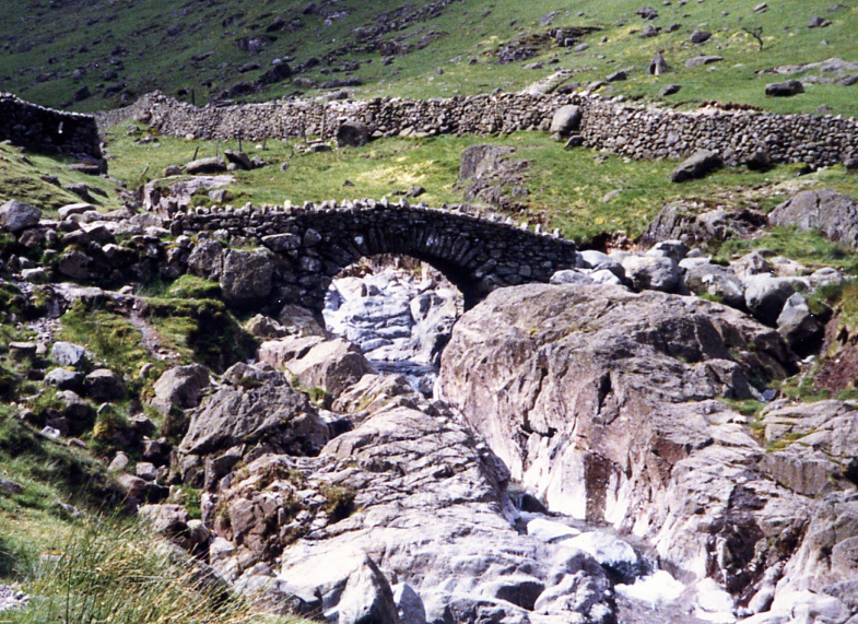
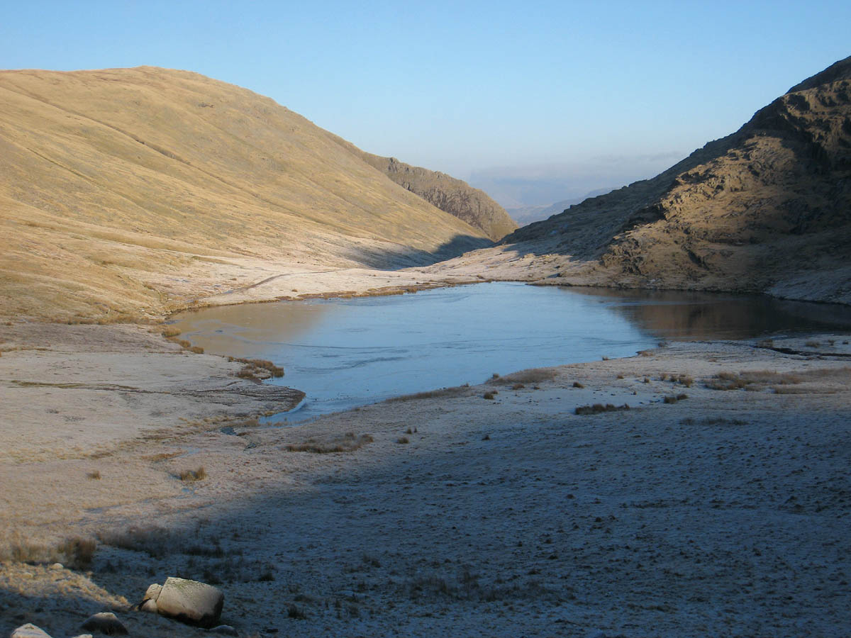
Base Brown Images
Images are sourced within 2km of 54.492593/-3.1977691 or Grid Reference NY2211. Thanks to Geograph Open Source API. All images are credited.


Base Brown is located at Grid Ref: NY2211 (Lat: 54.492593, Lng: -3.1977691)
Administrative County: Cumbria
District: Allerdale
Police Authority: Cumbria
What 3 Words
///squirted.chain.mouths. Near Keswick, Cumbria
Nearby Locations
Related Wikis

Base Brown
Base Brown is a fell in England's Lake District, near the head of the Borrowdale Valley. It forms one side of the Seathwaite Valley, and on the western...
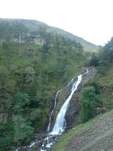
Taylor Gill Force
Taylor Gill Force is one of the highest waterfalls in the Lake District of England. It is situated in Seathwaite, Allerdale, near Seatoller in Cumbria...

Brandreth
Brandreth is a fell in the English Lake District. It stands between Great Gable and Haystacks in the Western Fells. == Topography == The Western Fells...
Seathwaite, Cumberland
Seathwaite is a small hamlet in the Borrowdale civil parish of Cumberland, Cumbria, North West England. It is in the Lake District near Scafell Pike and...

Grey Knotts
Grey Knotts is a fell in the English Lake District. It is situated one kilometre (2⁄3 mile) south of the B5289 road as it crosses the Honister Pass. It...

Green Gable
Green Gable is a fell in the English Lake District often traversed by walkers en route to its more famous neighbour Great Gable. It can be ascended from...
Styhead Tarn
Styhead Tarn is a tarn in the English Lake District, near the top of the Sty Head pass at the head of Borrowdale. It is on the route from Wasdale to Borrowdale...

Seathwaite Fell
Seathwaite Fell is an area of the Lake District in Cumbria, England. It stands above the hamlet of the same name at the head of Borrowdale. == Position... ==
Nearby Amenities
Located within 500m of 54.492593,-3.1977691Have you been to Base Brown?
Leave your review of Base Brown below (or comments, questions and feedback).