Birk Rigg
Hill, Mountain in Cumberland Allerdale
England
Birk Rigg
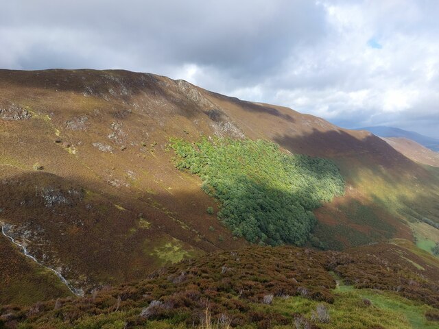
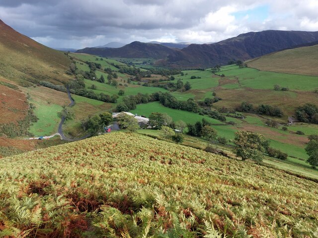
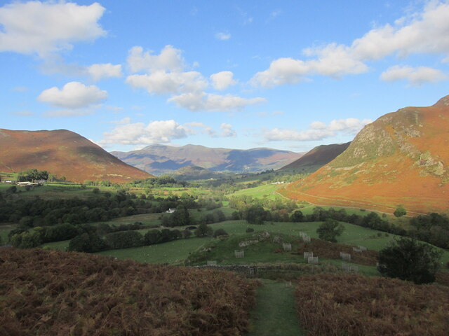
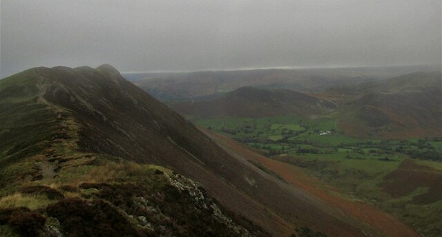
Birk Rigg is a prominent hill located in the county of Cumberland, in the northwest region of England. Standing at an elevation of approximately 756 feet (230 meters), it is classified as a hill rather than a mountain. Situated within the Lake District National Park, Birk Rigg offers breathtaking panoramic views of the surrounding landscape.
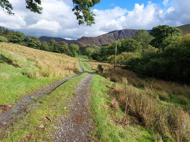
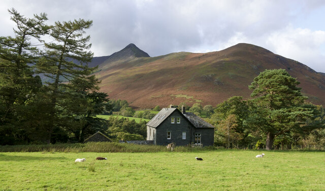
This hill is primarily covered in grass and heather, creating a picturesque scene that changes with the seasons. Birk Rigg is a popular destination for hikers and outdoor enthusiasts, with several footpaths leading to its summit. The ascent is relatively gentle, making it accessible for individuals of varying fitness levels.
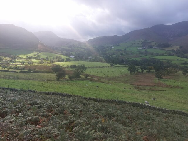
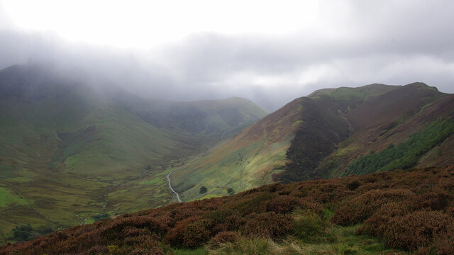
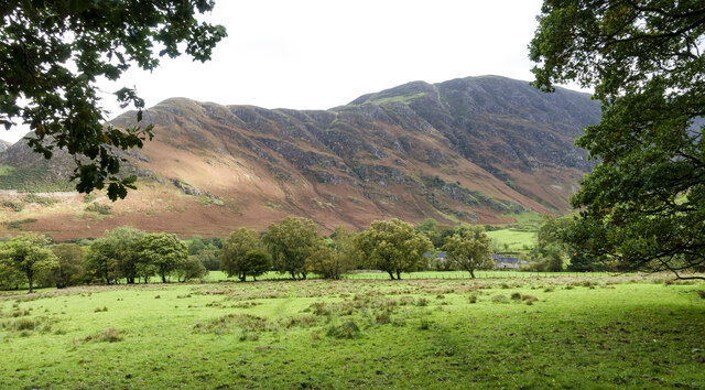
From the top of Birk Rigg, visitors are rewarded with stunning vistas of the nearby fells and valleys. To the south, the majestic Lake Windermere can be seen, along with the rolling hills of the Furness Peninsula. On a clear day, it is even possible to catch a glimpse of the Irish Sea to the west.
The hill is home to an array of wildlife, including various species of birds such as skylarks and meadow pipits. Additionally, the surrounding area features a diverse range of flora, including heather, bilberry, and grasses.
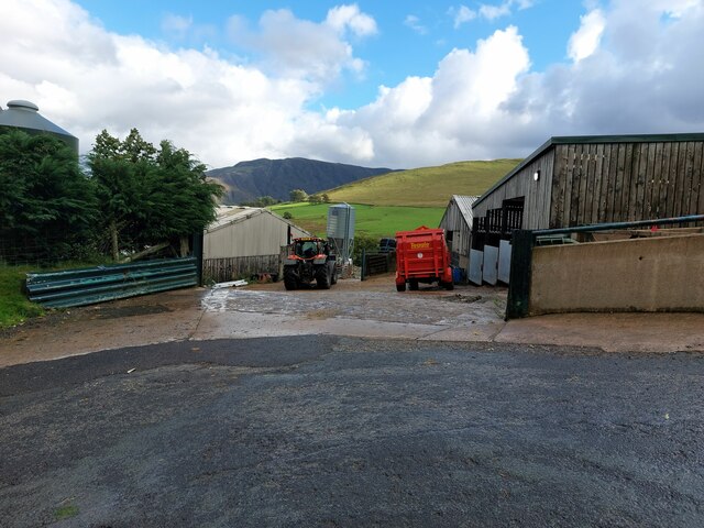
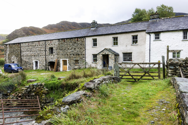
Birk Rigg is easily accessible by road, with parking available nearby. Its tranquil and unspoiled beauty, coupled with its accessibility and stunning views, make it a popular destination for nature lovers and those seeking to immerse themselves in the natural wonders of the Lake District.
If you have any feedback on the listing, please let us know in the comments section below.
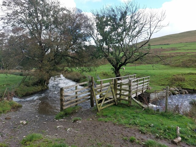
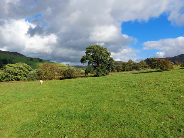
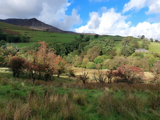
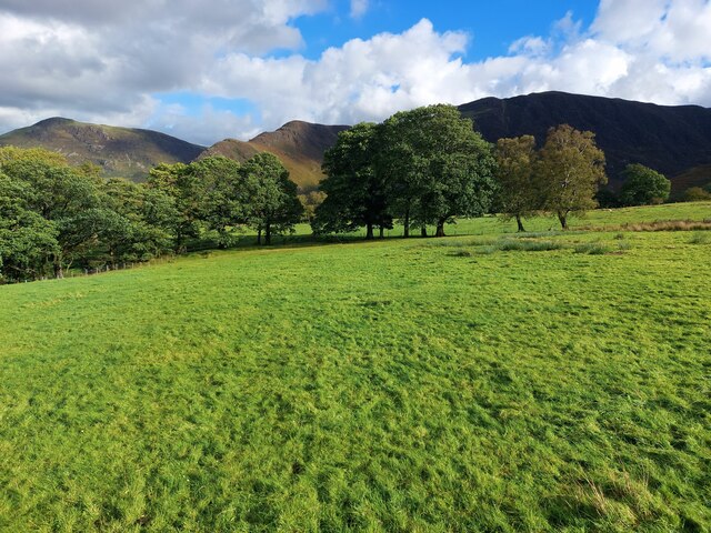
Birk Rigg Images
Images are sourced within 2km of 54.567909/-3.2031785 or Grid Reference NY2219. Thanks to Geograph Open Source API. All images are credited.

Birk Rigg is located at Grid Ref: NY2219 (Lat: 54.567909, Lng: -3.2031785)
Administrative County: Cumbria
District: Allerdale
Police Authority: Cumbria
What 3 Words
///dwarves.populate.itself. Near Keswick, Cumbria
Nearby Locations
Related Wikis
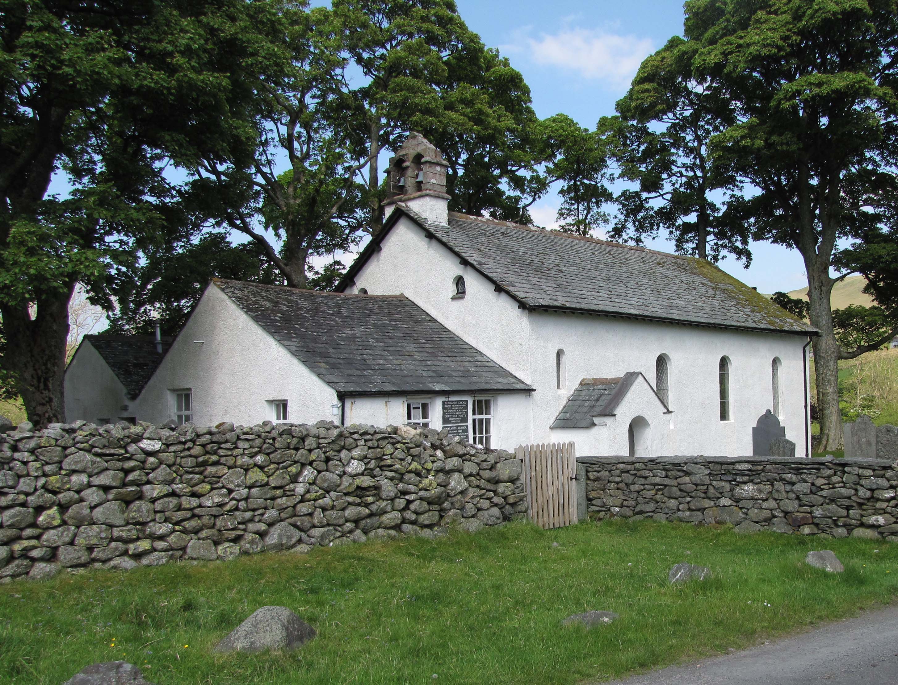
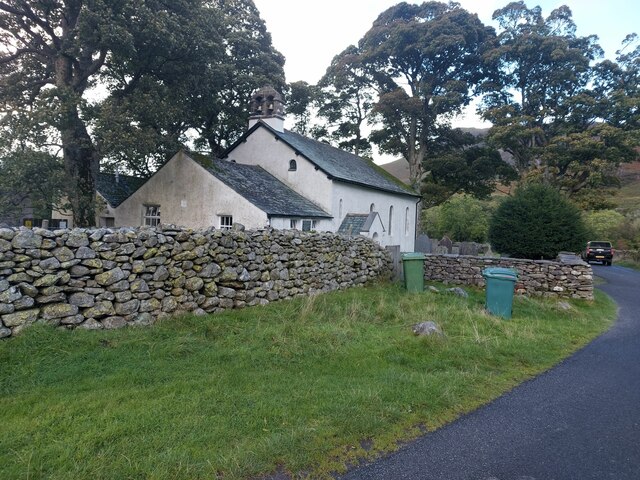
Newlands Church
Newlands Church is a 16th-century church situated less than 500 metres west of the hamlet of Little Town, Cumbria, England in the Newlands Valley of the...
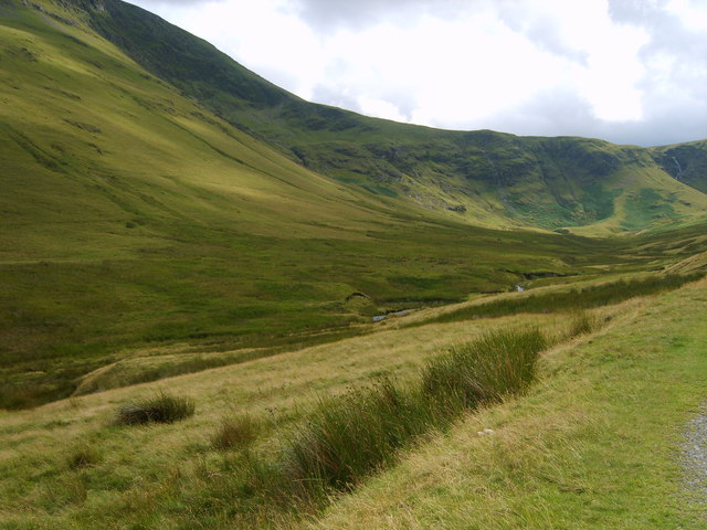
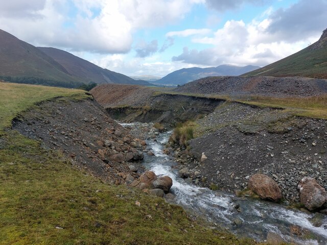
Keskadale Beck
Keskadale Beck is a minor river of Cumbria, England. The beck rises at the confluence of High Hole Beck (which rises beneath Robinson Crags) and Moss Beck...
Scope Beck
Scope Beck is a minor river in the county of Cumbria in England. The beck runs through Little Dale, a valley between the mountains of Hindscarth (to the...

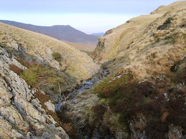
Rowling End
Rowling End is a peak in the Lake District about 433 meters it is a steep slope leading up towards Causey Pike. It is briefly mentioned in books however...
Nearby Amenities
Located within 500m of 54.567909,-3.2031785Have you been to Birk Rigg?
Leave your review of Birk Rigg below (or comments, questions and feedback).