Barf
Hill, Mountain in Cumberland Allerdale
England
Barf
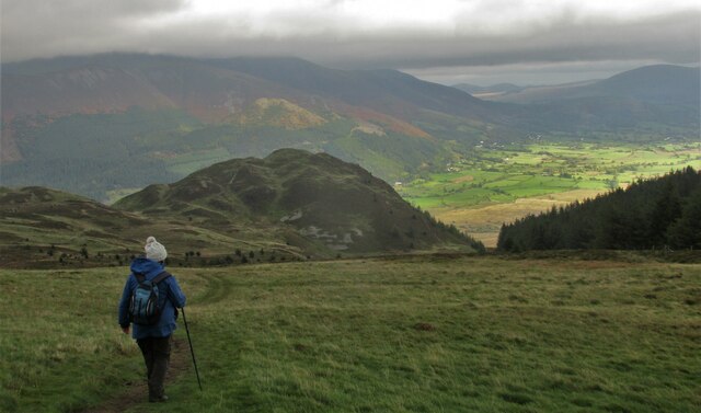
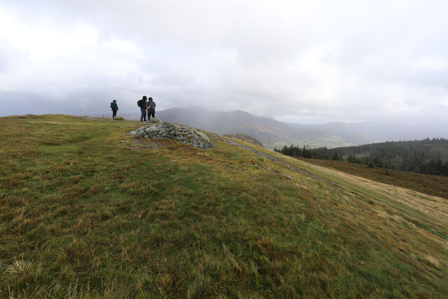
Barf, Cumberland (Hill, Mountain) is a prominent peak located in the Lake District National Park in Cumbria, England. Standing at an elevation of 1,494 feet (455 meters), it is a popular destination for outdoor enthusiasts and offers stunning panoramic views of the surrounding countryside.
The name "Barf" is believed to be derived from the Old Norse word "barfr," meaning "bare." This is quite fitting, as the mountain's summit is rocky and devoid of vegetation, giving it a rugged and exposed appearance.
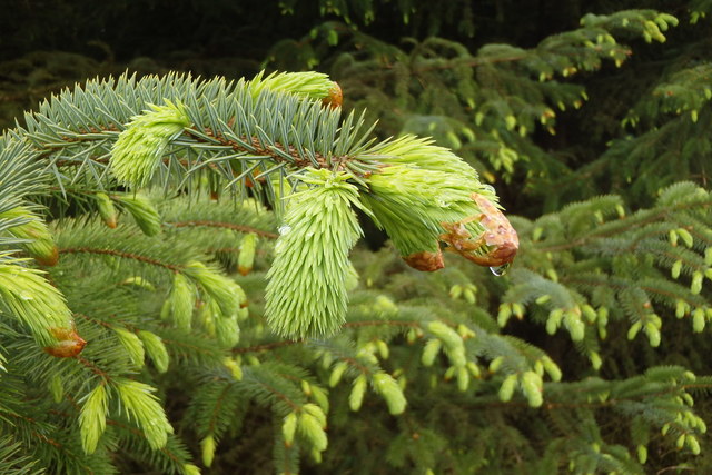
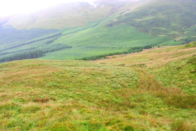
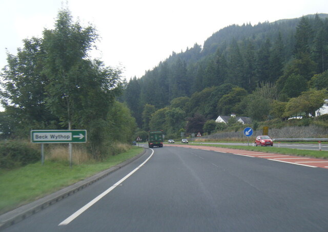
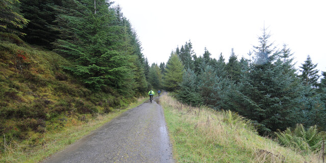
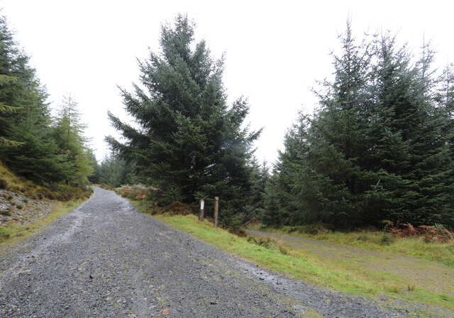
The ascent to Barf can be started from several points, including the villages of Thornthwaite and Braithwaite. The most popular route begins from the Whinlatter Forest Visitor Centre, which also offers ample parking facilities. From here, a well-marked trail leads up through the forest, eventually emerging onto open moorland. The final stretch to the summit involves a steep climb, but the rewarding views make it all worthwhile.
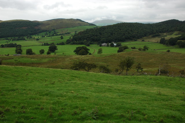
At the top of Barf, visitors are treated to breathtaking vistas of the nearby Bassenthwaite Lake, the Skiddaw range, and the North Western Fells. On clear days, it is even possible to see as far as the Irish Sea and the Scottish Mountains.
Aside from its natural beauty, Barf also holds a place in local folklore. Legend has it that the mountain was the site of a fierce battle between two giant Cumbrian brothers, resulting in one brother being killed and buried under a large cairn on the summit.
Overall, Barf, Cumberland is a must-visit destination for hikers and nature enthusiasts, offering a challenging yet rewarding climb and unparalleled views of the stunning Lake District landscape.
If you have any feedback on the listing, please let us know in the comments section below.
Barf Images
Images are sourced within 2km of 54.6297/-3.2181386 or Grid Reference NY2126. Thanks to Geograph Open Source API. All images are credited.


Barf is located at Grid Ref: NY2126 (Lat: 54.6297, Lng: -3.2181386)
Administrative County: Cumbria
District: Allerdale
Police Authority: Cumbria
What 3 Words
///inversely.enjoy.carpets. Near Keswick, Cumbria
Nearby Locations
Related Wikis

Barf (Lake District)
Barf is a fell in the north-western Lake District in Cumbria, UK. It stands on the south-western shore of Bassenthwaite Lake. Barf is well known for a...

Lord's Seat
Lord's Seat is a fell in the English Lake District. It is the highest of the group of hills north of Whinlatter Pass in the North Western Fells. The slopes...

Newlands Beck
Newlands Beck is a minor river of Cumbria in England. The beck rises on Dale Head and flows northwards through the picturesque Newlands Valley, past the...

Thornthwaite
Thornthwaite is a village in Cumbria, England. Historically in Cumberland, it is just off the A66 road, south of Bassenthwaite Lake and within the Lake...

Chapel Beck
Chapel Beck is a minor river in the county of Cumbria in England. The beck rises in the Whinlatter Forest in the Lake District at the confluence of Grisedale...

Broom Fell
Broom Fell is a small hill in the English Lake District. It lies on a ridge connecting Lord's Seat and Graystones, but is rarely climbed. Alfred Wainwright...

Little Crosthwaite
Little Crosthwaite is a hamlet in the Borough of Allerdale in the English county of Cumbria. It forms part of the civil parish of Underskiddaw. Little...

Bassenthwaite Lake
Bassenthwaite Lake is a body of water in the Lake District in North West England, near the town of Keswick. It has an area of 5.3 km2 (2.0 sq mi), making...
Related Videos
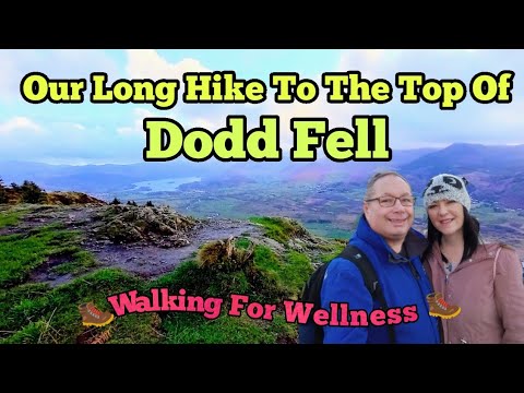
A tough hike! Dodd Wood and Dodd Fell! #walking #lakedistrict #cumbria #trail #ellofawalk
A wonderful walk with amazing views. Beautiful woodland trails along the way and an Osprey viewing point. A bit of a slog but well ...
A Family Walk to Dodd Summit
A perfect family walk to the summit of Dodd, four miles outside of Keswick in the Lake District National Park. A steep but very easy ...
DODD SUMMIT - Overlooking Derwentwater and Bassenthwaite Lake
A stunning Fell that overlooks Keswick, Derwentwater and Bassenthwaite Lake, under the shadow of Skiddaw. I parked at Dodd ...
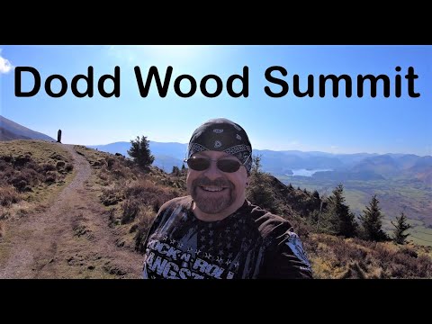
Our hike up the stunning Dodd Fell, Lake District #adventure #thelakedistrict #placestovisit
Welcome back to our channel and another adventure. This time we are hiking up Dodd Fell in the Lake District. It's quite a tough ...
Nearby Amenities
Located within 500m of 54.6297,-3.2181386Have you been to Barf?
Leave your review of Barf below (or comments, questions and feedback).