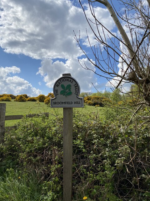
Broomfield Hill
Hill, Mountain in Somerset Sedgemoor
England
Broomfield Hill
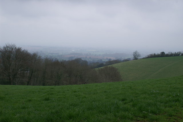
Broomfield Hill is a prominent hill located in Somerset, England. Situated within the Mendip Hills Area of Outstanding Natural Beauty, it offers stunning panoramic views of the surrounding countryside. This hill is a popular destination for outdoor enthusiasts, hikers, and nature lovers.
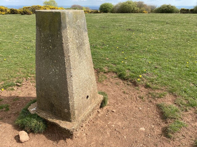
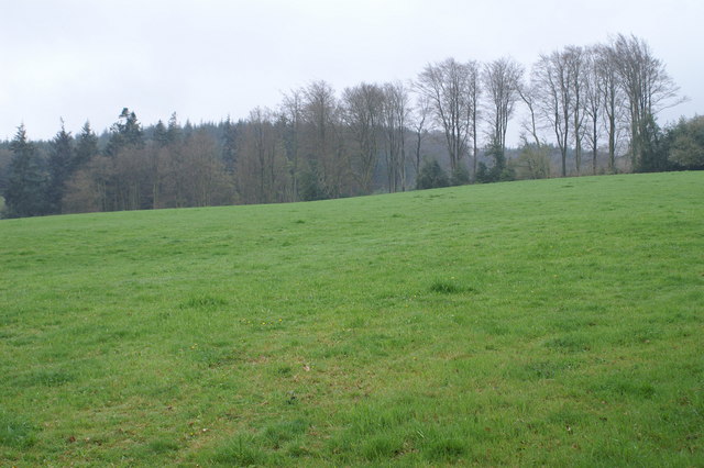
Rising to an elevation of approximately 295 meters (968 feet), Broomfield Hill is considered a notable landmark in the region. It boasts a unique topography characterized by gentle slopes covered with lush green grass and scattered with rocky outcrops. The diverse landscape creates an ideal habitat for a variety of wildlife, including birds, butterflies, and small mammals.
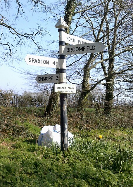
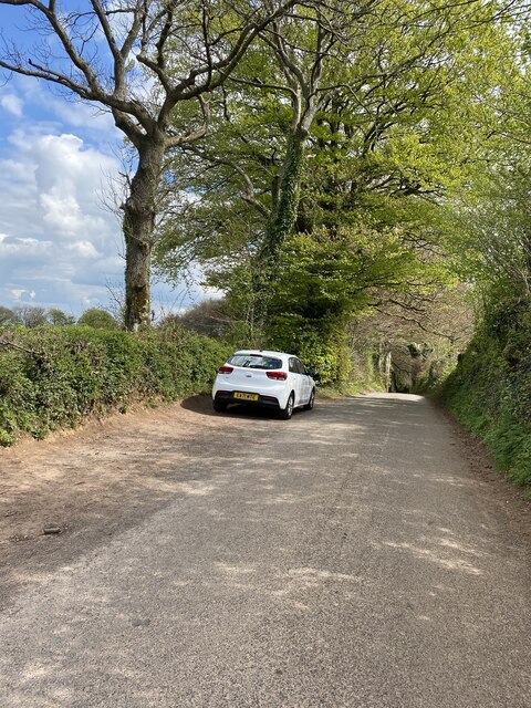
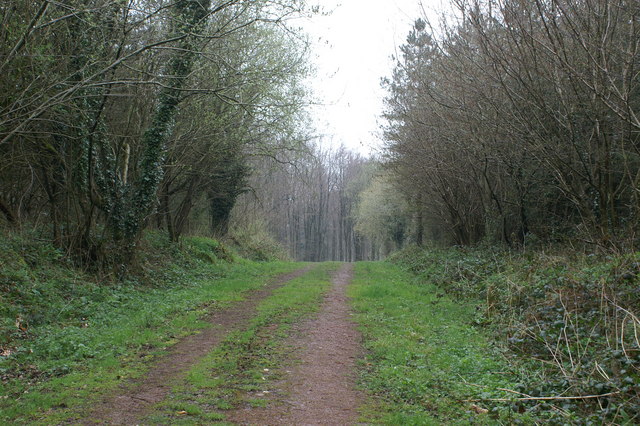
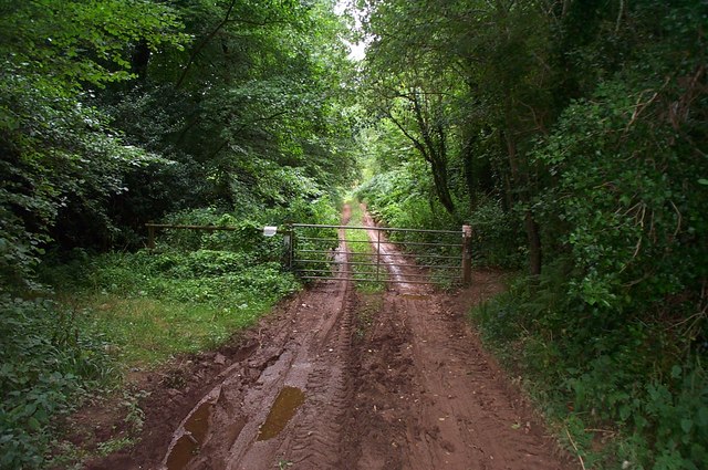
The hill is accessible from several routes, with footpaths and trails leading to its summit. As visitors ascend the hill, they will be rewarded with breathtaking vistas of the Somerset Levels, Bristol Channel, and the distant hills of Exmoor and Dartmoor. On a clear day, it is even possible to catch a glimpse of the Welsh coastline.
Broomfield Hill is steeped in history and folklore. It is believed to have been an ancient burial site, with archaeological evidence suggesting human activity in the area dating back thousands of years. The hill also holds cultural significance, with local legends and stories associated with it.
Whether one is seeking a challenging hike, a peaceful stroll, or simply a place to admire the natural beauty of Somerset, Broomfield Hill offers an unforgettable experience. Its serene surroundings, expansive views, and rich history make it a must-visit destination for both locals and tourists alike.
If you have any feedback on the listing, please let us know in the comments section below.
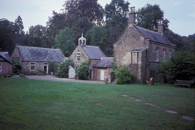
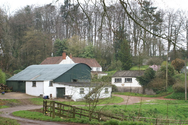
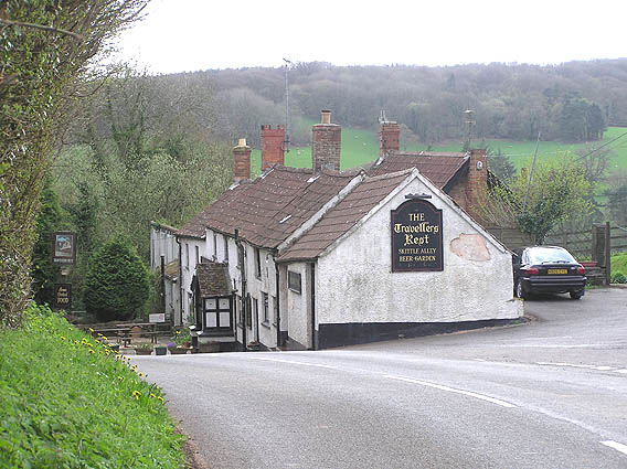
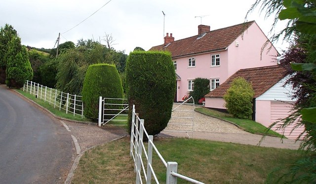
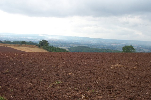
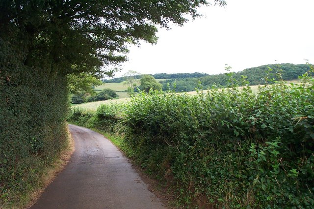
Broomfield Hill Images
Images are sourced within 2km of 51.09226/-3.1229877 or Grid Reference ST2133. Thanks to Geograph Open Source API. All images are credited.


Broomfield Hill is located at Grid Ref: ST2133 (Lat: 51.09226, Lng: -3.1229877)
Administrative County: Somerset
District: Sedgemoor
Police Authority: Avon and Somerset
What 3 Words
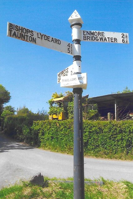
///toads.crackling.pest. Near Bishops Lydeard, Somerset
Nearby Locations
Related Wikis

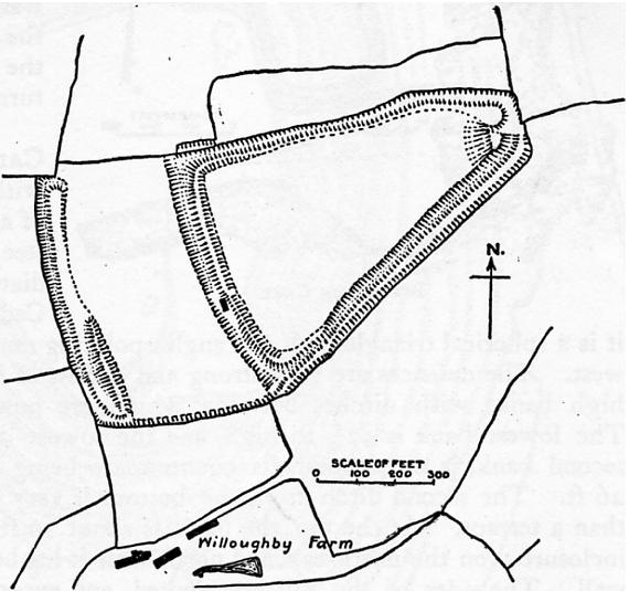
Broomfield Camp
Broomfield Camp (which is also known as Higher Castles enclosure) is a univallate Iron Age hill fort in the Taunton Deane district of Somerset, England...
Ruborough Camp
Ruborough Camp is an Iron Age hill fort on the Quantock Hills near Broomfield in Somerset, England. The name comes from Rugan beorh or Ruwan-beorge meaning...

Broomfield, Somerset
Broomfield is a village and civil parish in Somerset, England, situated about five miles north of Taunton. According to the 2011 census it had a population...

Seven Sisters (Quantock Hills)
The Seven Sisters is a clump of beech trees on Cothelstone Hill in the Quantock Hills, England. Originally planted in the 18th century, they form a well...
Nearby Amenities
Located within 500m of 51.09226,-3.1229877Have you been to Broomfield Hill?
Leave your review of Broomfield Hill below (or comments, questions and feedback).