Lady Hill
Hill, Mountain in Morayshire
Scotland
Lady Hill

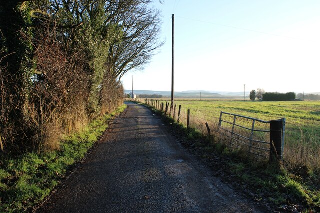
Lady Hill is a prominent hill located in Morayshire, Scotland. Situated near the town of Elgin, it offers breathtaking views of the surrounding countryside and is a popular destination for outdoor enthusiasts.
Rising to an elevation of approximately 200 meters (656 feet), Lady Hill stands out as a distinctive landmark in the area. Its gentle slopes and grassy terrain make it accessible to hikers and walkers of all levels of experience. The hill is often praised for its well-maintained trails, which lead visitors through a variety of landscapes, including woodlands, meadows, and moorlands.
One of the main attractions of Lady Hill is its historic significance. The hill is home to the ruins of Lady Hill Castle, a 12th-century fortress that once served as a stronghold for the local nobility. Although the castle is now in a state of disrepair, its remnants offer a glimpse into the region's rich history.
In addition to its historical importance, Lady Hill is also known for its diverse wildlife. The hill is home to a wide range of plant and animal species, including various birds, mammals, and wildflowers. Birdwatchers often flock to the area, hoping to catch a glimpse of rare species such as peregrine falcons and red kites.
Overall, Lady Hill is a picturesque and historically significant destination in Morayshire. With its stunning views, well-maintained trails, and abundant wildlife, it offers a delightful experience for nature lovers and history enthusiasts alike.
If you have any feedback on the listing, please let us know in the comments section below.
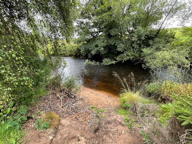
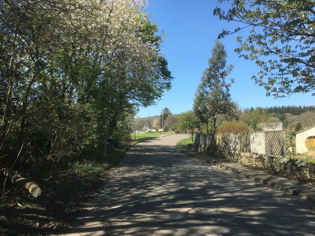
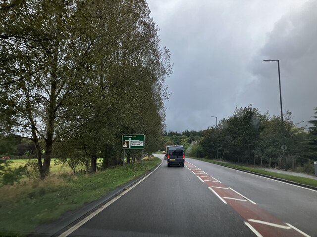
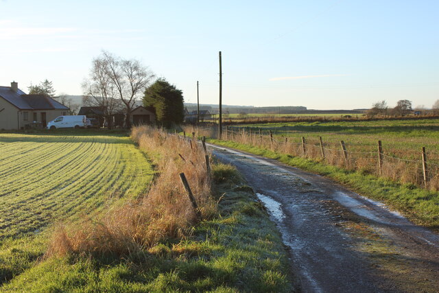
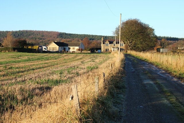
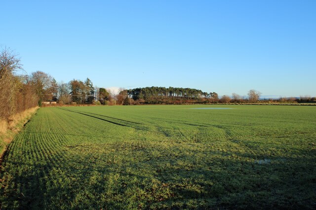
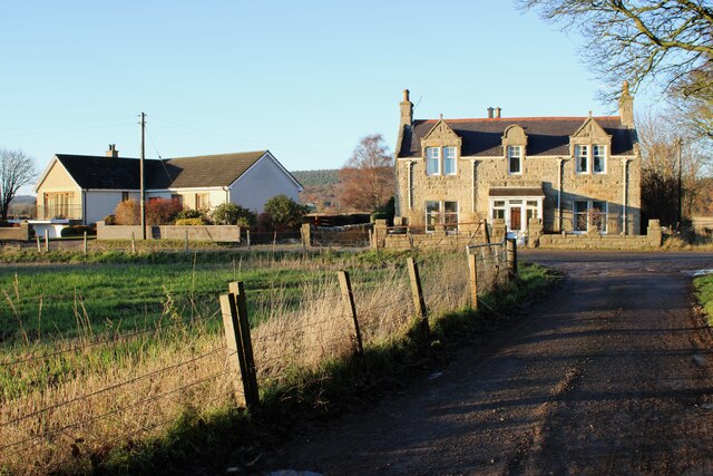
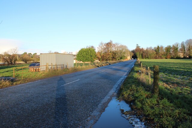
Lady Hill Images
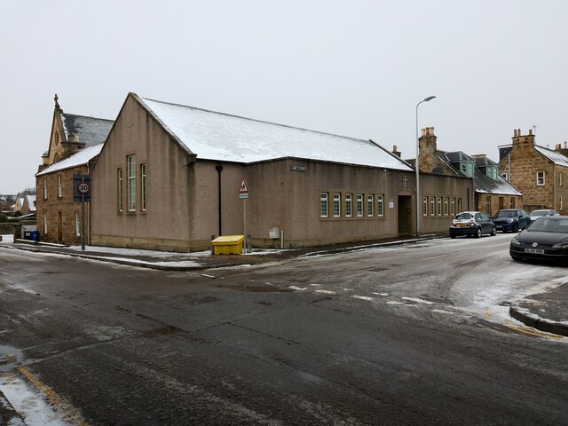
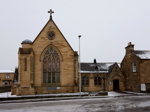
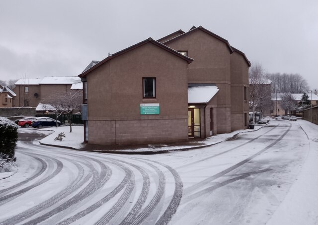
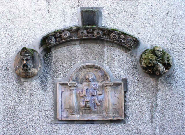
Images are sourced within 2km of 57.648235/-3.3225132 or Grid Reference NJ2162. Thanks to Geograph Open Source API. All images are credited.


Lady Hill is located at Grid Ref: NJ2162 (Lat: 57.648235, Lng: -3.3225132)
Unitary Authority: Moray
Police Authority: North East
What 3 Words
///early.lovely.backup. Near Elgin, Moray
Nearby Locations
Related Wikis
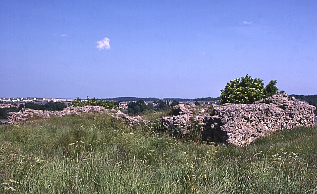
Elgin Castle
Elgin Castle was a 12th-century castle built near Elgin, Moray, Scotland.Elgin was created a royal burgh by King David I of Scotland in 1136. The castle...
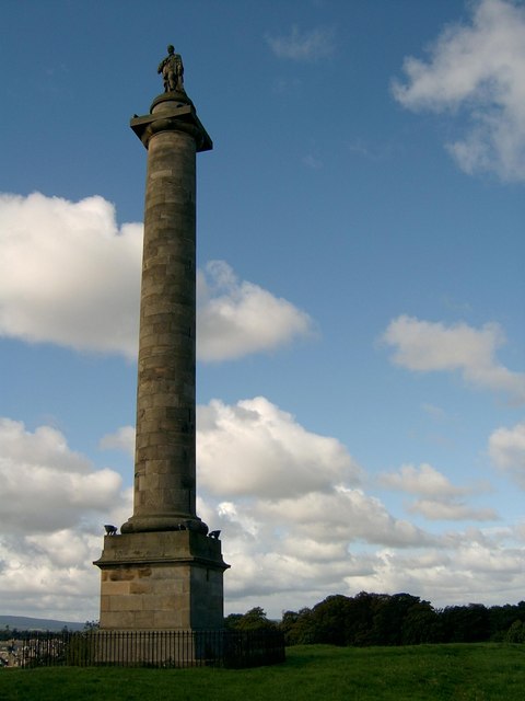
Duke of Gordon's Monument
The Duke of Gordon's Monument is a commemorative monument on Lady Hill in Elgin, Scotland. Built in honour of George Gordon, the 5th Duke of Gordon, the...

Borough Briggs
Borough Briggs is a football ground in Elgin, Moray, Scotland, and is the most northerly football league stadium in Great Britain. This venue is the home...
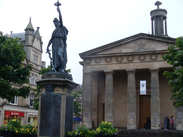
St Giles' Church, Elgin
St Giles' Church is a Church of Scotland church situated in the centre of Elgin, Moray, in north-east Scotland. It is Elgin's original parish church. The...
Nearby Amenities
Located within 500m of 57.648235,-3.3225132Have you been to Lady Hill?
Leave your review of Lady Hill below (or comments, questions and feedback).