Bryngwyn
Hill, Mountain in Flintshire
Wales
Bryngwyn
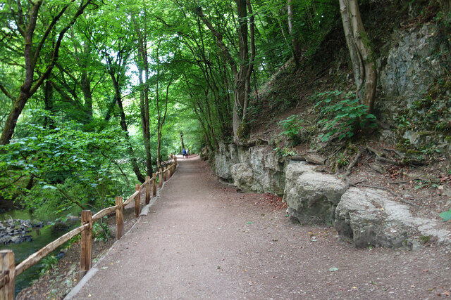
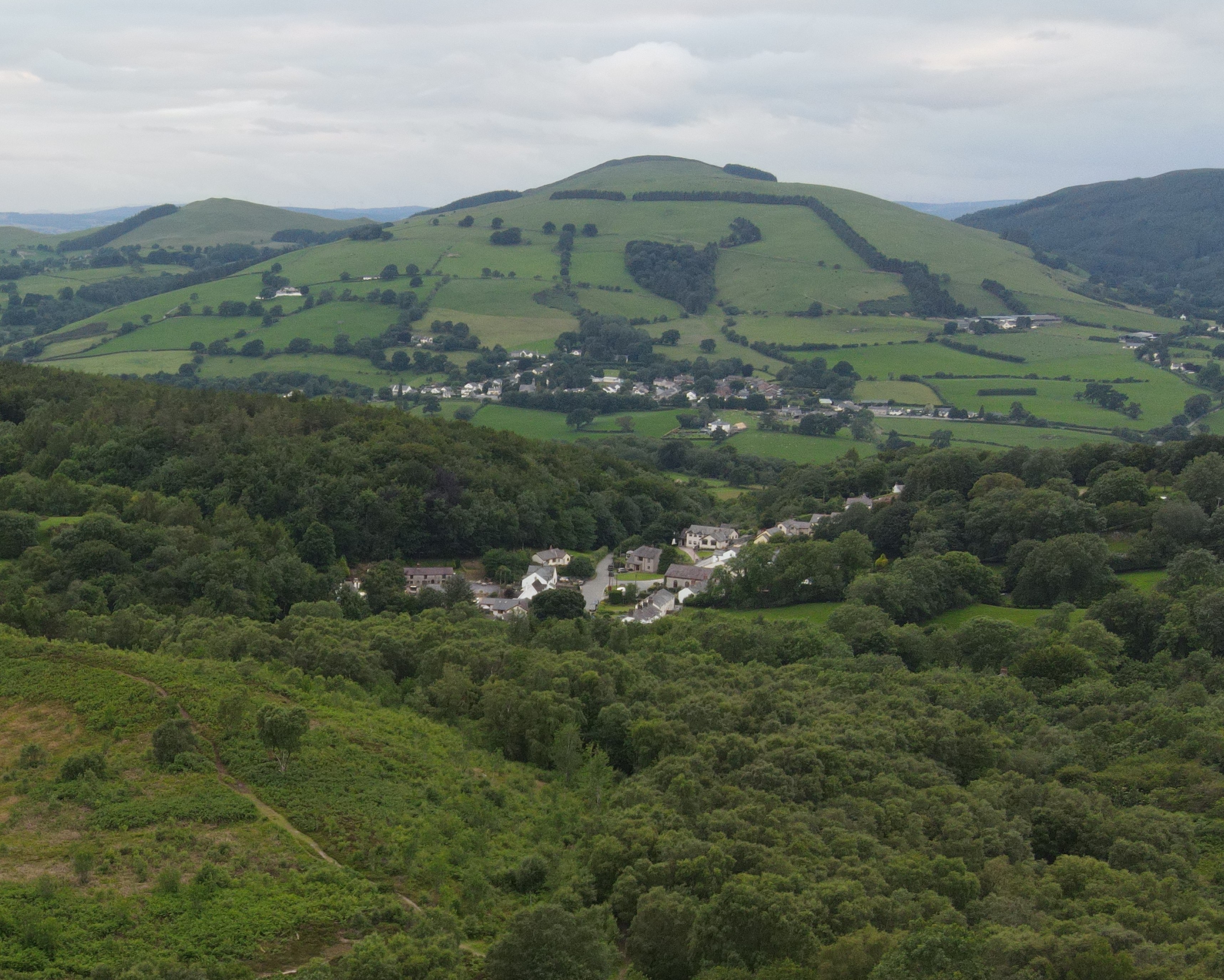
Bryngwyn is a small hill located in Flintshire, Wales. It is known for its picturesque views and natural beauty, making it a popular destination for hikers and nature enthusiasts. The hill rises to an elevation of approximately 213 meters (699 feet) above sea level, offering stunning panoramic views of the surrounding countryside.
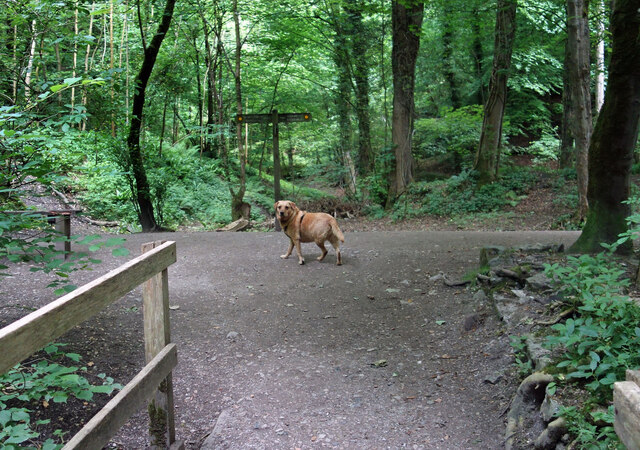
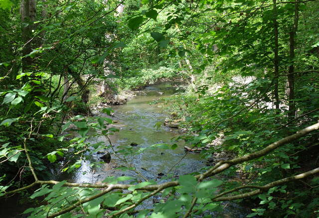
Bryngwyn is covered in lush green vegetation, including grasses, shrubs, and trees, providing habitat for a variety of wildlife species. Visitors to the hill may spot birds such as red kites, buzzards, and kestrels, as well as small mammals like rabbits and foxes.
The hill is easily accessible by foot, with several walking trails leading to the summit. Along the way, hikers can enjoy the peaceful surroundings and take in the sights and sounds of nature. At the top of Bryngwyn, there is a trig point that marks the highest point on the hill, offering a sense of accomplishment to those who reach it.
Overall, Bryngwyn is a beautiful and tranquil natural area that provides a peaceful escape from the hustle and bustle of everyday life.
If you have any feedback on the listing, please let us know in the comments section below.
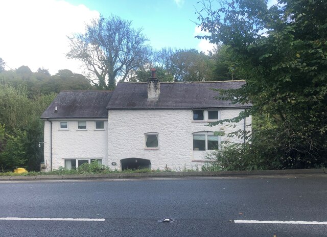
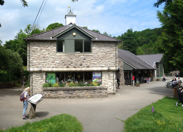
Bryngwyn Images
Images are sourced within 2km of 53.147834/-3.1802399 or Grid Reference SJ2161. Thanks to Geograph Open Source API. All images are credited.


Bryngwyn is located at Grid Ref: SJ2161 (Lat: 53.147834, Lng: -3.1802399)
Unitary Authority: Flintshire
Police Authority: North Wales
What 3 Words
///dwarf.holdings.proofread. Near Mold, Flintshire
Nearby Locations
Related Wikis
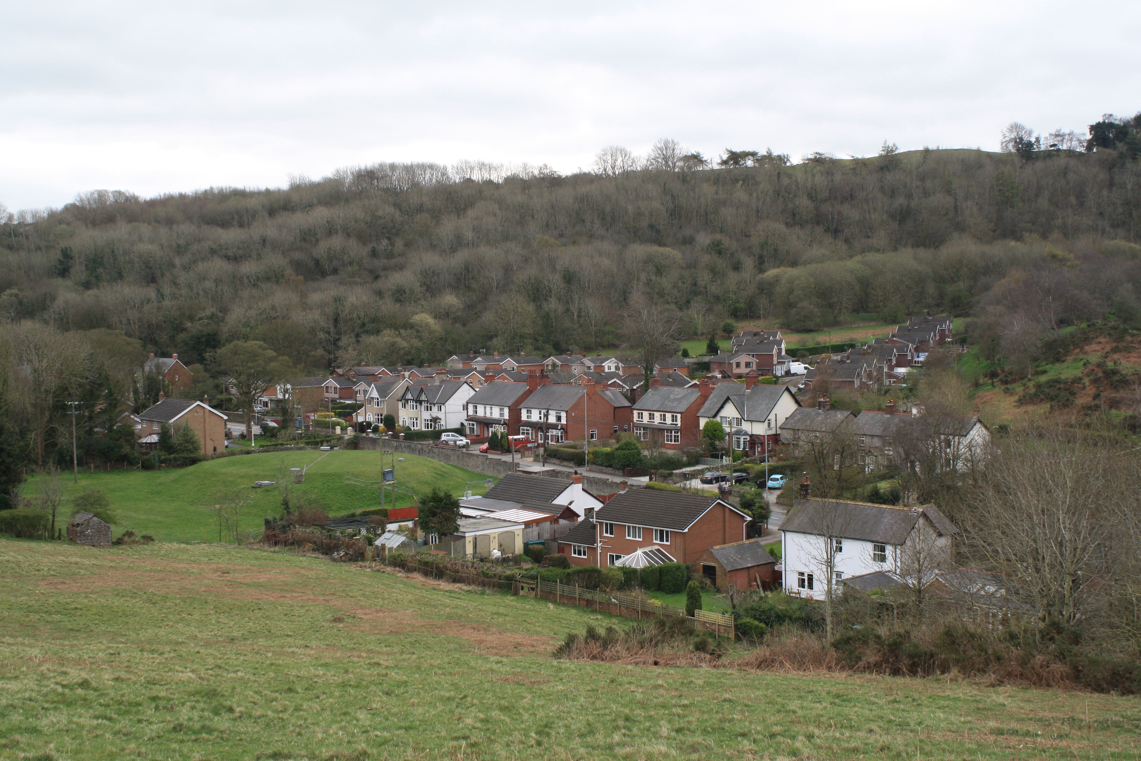
Gwernymynydd
Gwernymynydd (Welsh for 'Alder trees on the mountain') is a village outside the market town of Mold in Flintshire, Wales. It forms part of the Gwernymynydd...

Cadole
Cadole is a village in Flintshire, Wales. It lies west of Gwernymynydd and Mold (Yr Wyddgrug), south of Gwernaffield and to the east of the Clwydian Range...
Maeshafn
Maeshafn is a small village in Denbighshire, Wales, near the border with Flintshire. Maeshafn lies several miles to the southwest of Mold. Overlooked...

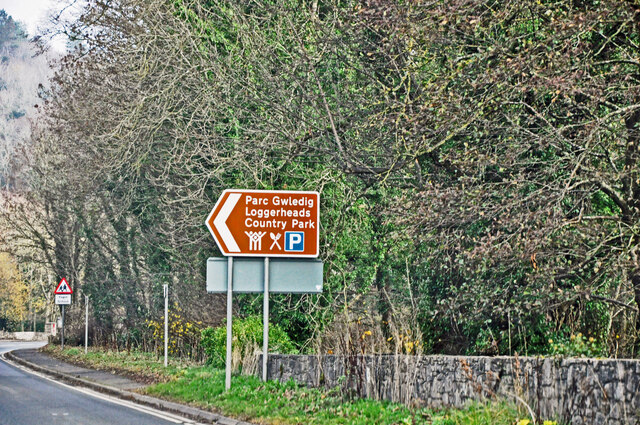
Loggerheads Country Park
Loggerheads Country Park is a country park in the village of Loggerheads, Denbighshire, Wales. The park has a wooded river valley that follows the course...
Nearby Amenities
Located within 500m of 53.147834,-3.1802399Have you been to Bryngwyn?
Leave your review of Bryngwyn below (or comments, questions and feedback).