Saddle Hill
Hill, Mountain in Angus
Scotland
Saddle Hill

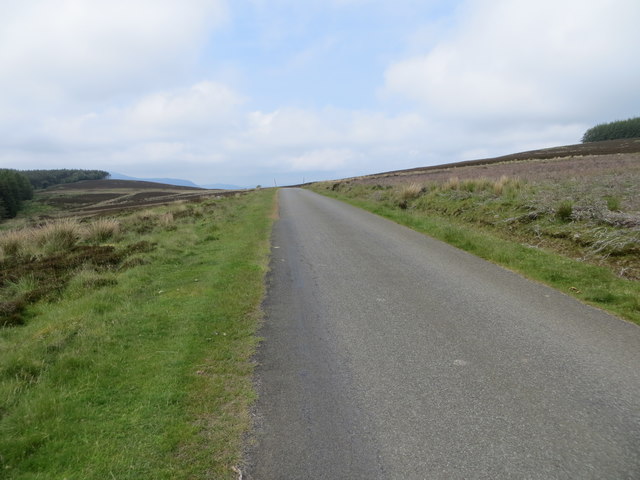
Saddle Hill is a distinctive hill located in Angus, Scotland. Standing at an elevation of 400 meters (1,312 feet), it is classified as a hill rather than a mountain. Nestled amidst the picturesque Angus countryside, Saddle Hill offers breathtaking panoramic views of the surrounding landscape.
The hill is characterized by its gently sloping sides and rounded summit, making it accessible to hikers and nature enthusiasts of varying abilities. Its distinctive shape, resembling a saddle, is what lends it its name. The summit of Saddle Hill provides an excellent vantage point, allowing visitors to marvel at the stunning vistas of rolling hills, lush green fields, and charming villages that dot the Angus countryside.
Rich in natural beauty, Saddle Hill is also home to a diverse range of flora and fauna. The hill is covered in heather and bracken, lending a vibrant hue to the landscape, especially during the summer months. It supports a variety of wildlife, including red grouse, rabbits, and various species of birds.
Saddle Hill is a popular destination for outdoor enthusiasts, attracting hikers, walkers, and cyclists. Several trails traverse its slopes, offering different levels of difficulty and length. The hill’s accessibility, combined with its stunning views and natural features, make it a favorite spot for locals and tourists alike.
Overall, Saddle Hill in Angus is a beautiful and accessible hill that offers stunning views and a chance to connect with nature in the heart of Scotland's countryside.
If you have any feedback on the listing, please let us know in the comments section below.
Saddle Hill Images
Images are sourced within 2km of 56.693547/-3.2940709 or Grid Reference NO2056. Thanks to Geograph Open Source API. All images are credited.


Saddle Hill is located at Grid Ref: NO2056 (Lat: 56.693547, Lng: -3.2940709)
Unitary Authority: Angus
Police Authority: Tayside
What 3 Words
///circling.lobby.expressed. Near Alyth, Perth & Kinross
Nearby Locations
Related Wikis

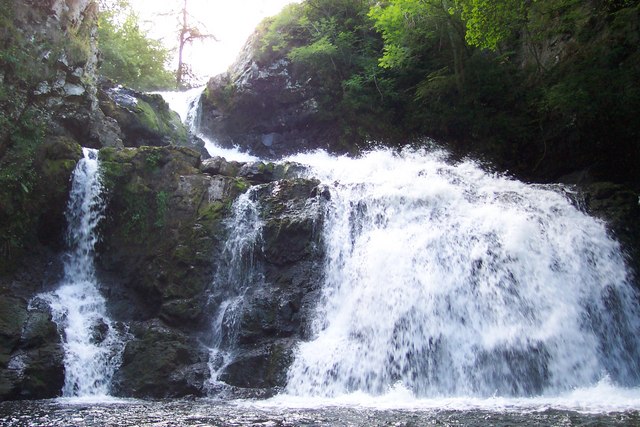
Kilry Glen
Kilry Glen, in Angus, Scotland, is the glen of the Burn of Kilry, a tributary of the River Isla. It is situated west of the B954 road, approximately four...

Auchinleish
Auchinleish is a village in Angus, Scotland. == References ==
Kirkton of Glenisla
Kirkton of Glenisla consists of a church and graveyard, a hotel, hall and several homes forming the largest concentration of habitation in Glenisla, Angus...
Knockshannoch Lodge
Knockshannoch Lodge is a Category B listed building in the Scottish village of Glenisla, Angus, built around 1888. It is a small, single-storey cottage...
Bridge of Craigisla
Bridge of Craigisla is a hamlet in Angus, Scotland. The bridge crosses the River Isla. This settlement lies along the B954 road. == References ==

Backwater Reservoir
Backwater Reservoir is a reservoir in north west Angus, Scotland. The reservoir's sole purpose is to provide drinking water, and as such, it supplies Angus...

Brewlands Bridge
Brewlands Bridge is a hamlet in Glen Isla, Angus, Scotland. It is lies situated on the River Isla, eleven miles north-west of Kirriemuir and ten miles...
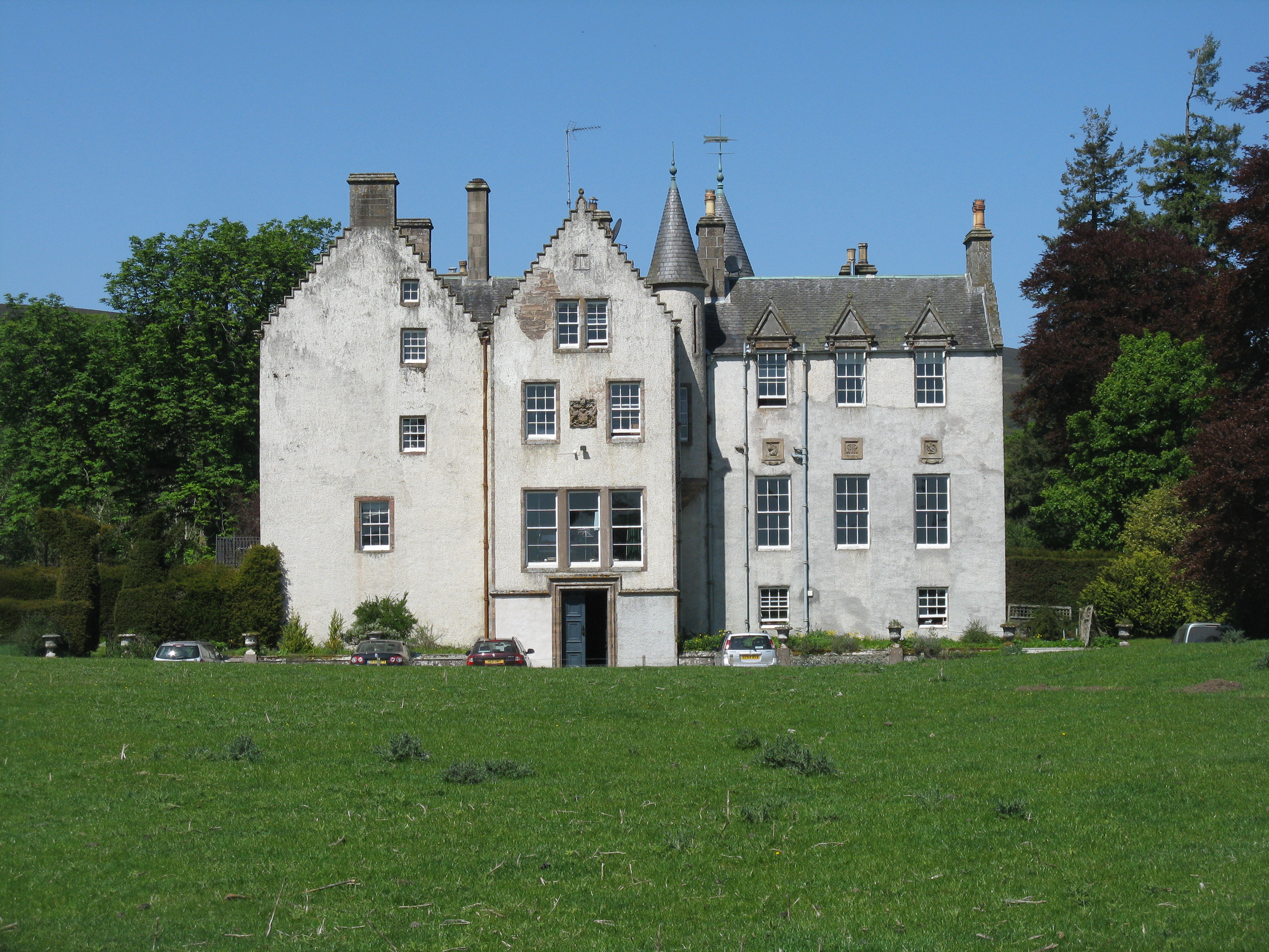
Bamff
Bamff House is the home of the Ramsays of Bamff, and is located within a 1,300-acre (5.3 km2) estate in Perthshire, Scotland. Bamff House began as a fortified...
Have you been to Saddle Hill?
Leave your review of Saddle Hill below (or comments, questions and feedback).