Carn Breac

Hill, Mountain in Banffshire

Scotland

Carn Breac

A939 towards The Lecht
A939 towards The Lecht Credit: Steven Brown

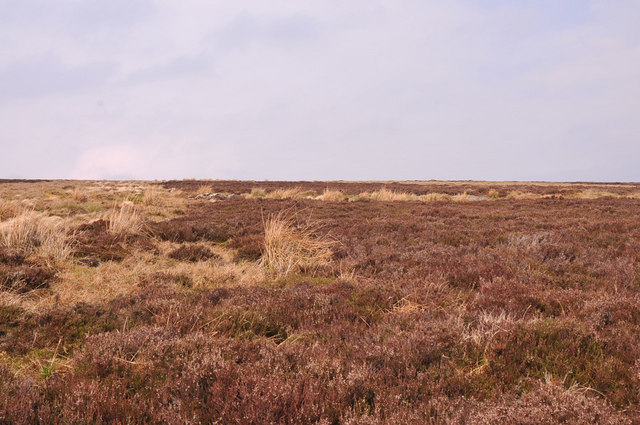
Carn Breac is a prominent hill located in Banffshire, Scotland. It stands at an elevation of approximately 651 meters (2,136 feet) above sea level. Situated near the village of Cabrach, Carn Breac offers breathtaking panoramic views of the surrounding landscape.

The hill is characterized by its distinctive conical shape and its prominent position within the region. It is composed primarily of granite, which gives it a rugged and weathered appearance. The vegetation on Carn Breac is mainly heather, making it particularly picturesque during the blooming season when the hillside is covered in vibrant purple hues.

Carn Breac is a popular destination for outdoor enthusiasts, attracting hikers and nature lovers throughout the year. Various walking routes are available to reach the summit, ranging from moderate to challenging difficulty levels. The ascent typically takes a few hours, depending on the chosen path and the fitness level of the individual.

From the top of Carn Breac, visitors are rewarded with remarkable views that extend across the surrounding countryside, including the Cairngorms National Park to the south. On a clear day, it is even possible to catch glimpses of the North Sea in the distance.

Overall, Carn Breac is a remarkable natural landmark in Banffshire, offering an opportunity to explore the beauty of the Scottish countryside, appreciate its geological features, and immerse oneself in the tranquility of the great outdoors.

If you have any feedback on the listing, please let us know in the comments section below.

Carn Breac Images

Images are sourced within 2km of 57.205444/-3.3119832 or Grid Reference NJ2013. Thanks to Geograph Open Source API. All images are credited.

A939 towards The Lecht
Footbridge over the Conglass Water Buildings at Badnafrave in the distance.
Footbridge over the Conglass Water
Buildings at Badnafrave in the distance.
Tolm Bùirich Tolm Bùirich is the hill right of centre. To the left is Craig Veann. The boundary between Banffshire and Aberdeenshire follows the watershed between them. This is almost the highest point of the old drove road into Strath Avon.
Tolm Bùirich
Tolm Bùirich is the hill right of centre. To the left is Craig Veann. The boundary between Banffshire and Aberdeenshire follows the watershed between them. This is almost the highest point of the old drove road into Strath Avon.
Remains of a sheep on the slopes of Monadh Fergie
Hill track past Monadh Fergie
Heather covered slopes of Monadh Fergie
Lurg Mheadhonach A broad ridge north of Carn Ealasaid.  The path shown on the map is no longer visible on the ground.  Allt nan Cabar is the burn on the right of the photo.
Lurg Mheadhonach
A broad ridge north of Carn Ealasaid. The path shown on the map is no longer visible on the ground. Allt nan Cabar is the burn on the right of the photo.
Ford, Meur Crionach This burn meets Allt nan Cabhar west of the ford then becomes Allt Blairnamarrow.
Ford, Meur Crionach
This burn meets Allt nan Cabhar west of the ford then becomes Allt Blairnamarrow.
Allt Blairnamarrow A tributary of Conglass Water.  Carn Ealasaid is the hill on the skyline.
Allt Blairnamarrow
A tributary of Conglass Water. Carn Ealasaid is the hill on the skyline.
Moorland, Monadh Fergie The north eastern side of the hill near Blairnamarrow.  Looking over Leitir Mhor plantation towards the Cromdale Hills on the skyline.
Moorland, Monadh Fergie
The north eastern side of the hill near Blairnamarrow. Looking over Leitir Mhor plantation towards the Cromdale Hills on the skyline.
Moorland and rough grazing near Blairnamarrow Looking across a clear felled plantation beside the A939, towards Carn Dulack and Carn Liath.
Moorland and rough grazing near Blairnamarrow
Looking across a clear felled plantation beside the A939, towards Carn Dulack and Carn Liath.
An old gateway on Monadh Fergie An old fence on grouse moors near Blairnamarrow.  Ben Rinnes can be seen on the skyline to the right.
An old gateway on Monadh Fergie
An old fence on grouse moors near Blairnamarrow. Ben Rinnes can be seen on the skyline to the right.
Estate track south of Monadh Fergie This track comes up from Glen Avon to Carn Breac.
Estate track south of Monadh Fergie
This track comes up from Glen Avon to Carn Breac.
Moorland, Carn Breac Grouse moors on the NW side of the hill.
Moorland, Carn Breac
Grouse moors on the NW side of the hill.
Track on Carn Breac The current track takes a higher line here than the map shows.  It passes Monadh Fergie going towards Glen Avon.
Track on Carn Breac
The current track takes a higher line here than the map shows. It passes Monadh Fergie going towards Glen Avon.
Turning area on Carn Breac A vehicle track ends here above a line of grouse butts.
Turning area on Carn Breac
A vehicle track ends here above a line of grouse butts.
Grouse Butt on Carn Breac One of a row of stone built butts.  Looking down towards Blairnamarrow.
Grouse Butt on Carn Breac
One of a row of stone built butts. Looking down towards Blairnamarrow.
Farm buildings, Blairnamarrow A mixture of the new, the old and the frankly decrepit.   The strange green "boxes" are to protect young trees.
Farm buildings, Blairnamarrow
A mixture of the new, the old and the frankly decrepit. The strange green "boxes" are to protect young trees.
Show me another place!

Carn Breac is located at Grid Ref: NJ2013 (Lat: 57.205444, Lng: -3.3119832)

Unitary Authority: Moray

Police Authority: North East

What 3 Words

///clocking.saturate.green. Near Grantown-on-Spey, Highland

Nearby Locations

Carn Breac

Related Wikis

West Aberdeenshire and Kincardine (UK Parliament constituency)

West Aberdeenshire and Kincardine is a county constituency of the House of Commons of the Parliament of the United Kingdom of Great Britain and Northern...

Delnadamph Lodge

Delnadamph Lodge was located on the Balmoral Estate about 8 miles (13 km) north of the castle. The lodge and its estate lands were bought by Queen Elizabeth...
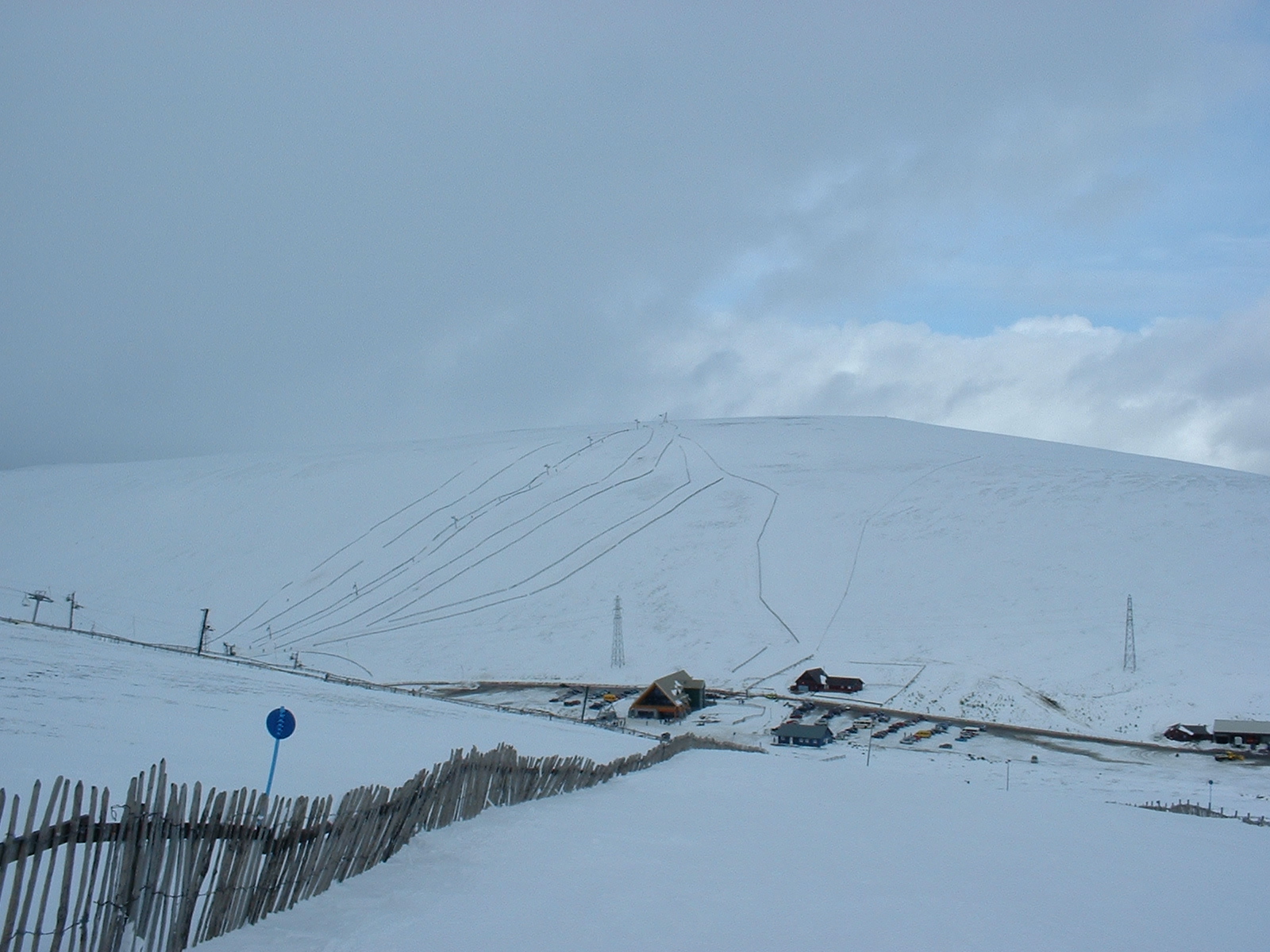
Lecht Ski Centre

The Lecht Ski Centre is an alpine ski area in the Cairngorms in the Scottish Highlands. The ski slopes are set around the mountains Beinn a' Chruinnich...
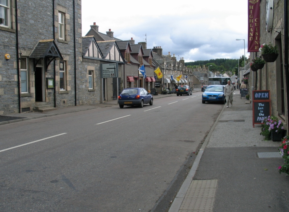
Tomintoul

Tomintoul ( ; from Scottish Gaelic: Tom an t-Sabhail, meaning "Hillock of the Barn") is a village in the Moray council area of Scotland in the historic...

Cock Bridge (Aberdeenshire)

Cock Bridge is a settlement in Aberdeenshire, Scotland, located in the Cairngorms National Park, on the A939 road near Corgarff and Corgarff Castle, between...

Corgarff Castle

Corgarff Castle is located slightly west of the village of Corgarff, in Aberdeenshire, north-east Scotland. It stands by the Lecht road, which crosses...

Scalan

The Scalan was once a seminary and was one of the few places in Scotland where the Roman Catholic faith was kept alive during the troubled times of the...

Ladder Hills

The Ladder Hills (Scottish Gaelic: Monadh an Fhàraidh) are a range of hills in northeast Scotland which straddle the border between Aberdeenshire and Moray...

Nearby Amenities

Located within 500m of 57.205444,-3.3119832
Ele: 603
Natural: peak
Lat/Long: 57.205986/-3.3136595
The data included in this document is from www.openstreetmap.org. The data is made available under ODbL.

Have you been to Carn Breac?

Leave your review of Carn Breac below (or comments, questions and feedback).