Dow Crag
Hill, Mountain in Cumberland Copeland
England
Dow Crag
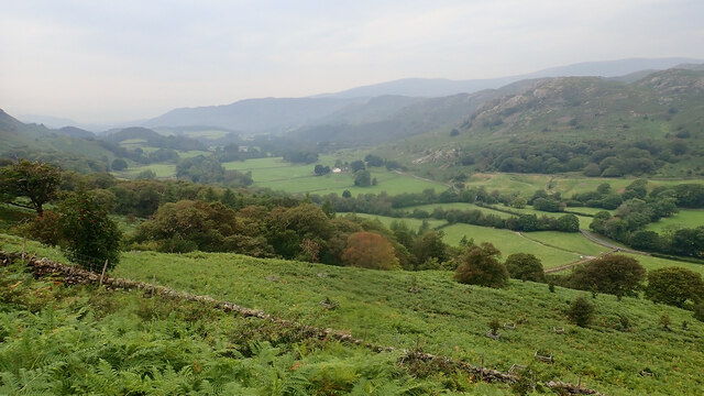
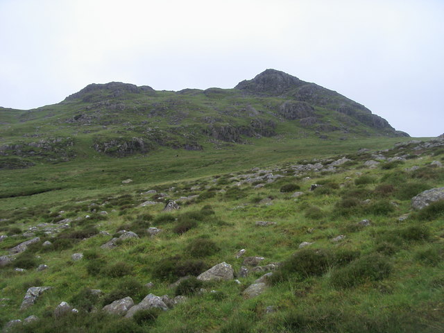
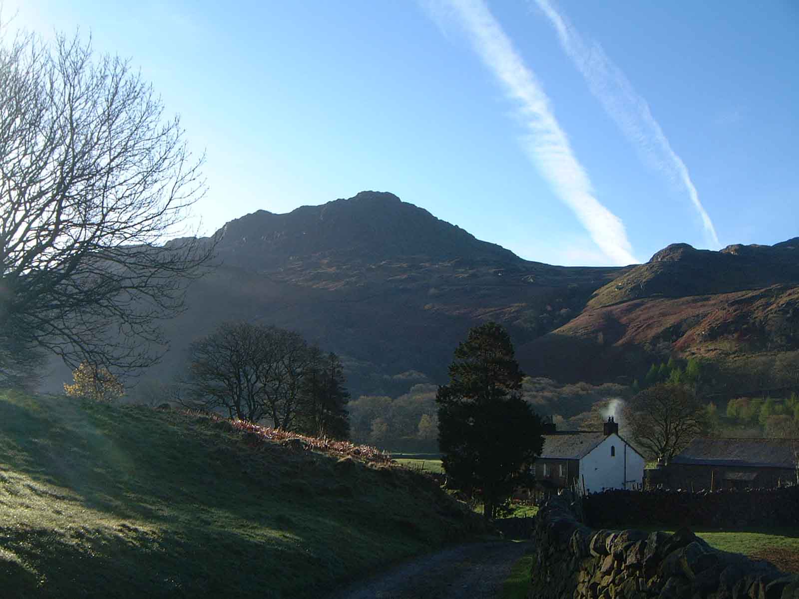
Dow Crag is a prominent hill located in the county of Cumberland, England. Standing at an elevation of 778 meters (2,552 feet), it is considered one of the most popular and challenging mountains in the Lake District National Park. The hill is situated in the southern part of the park, near the picturesque village of Coniston.
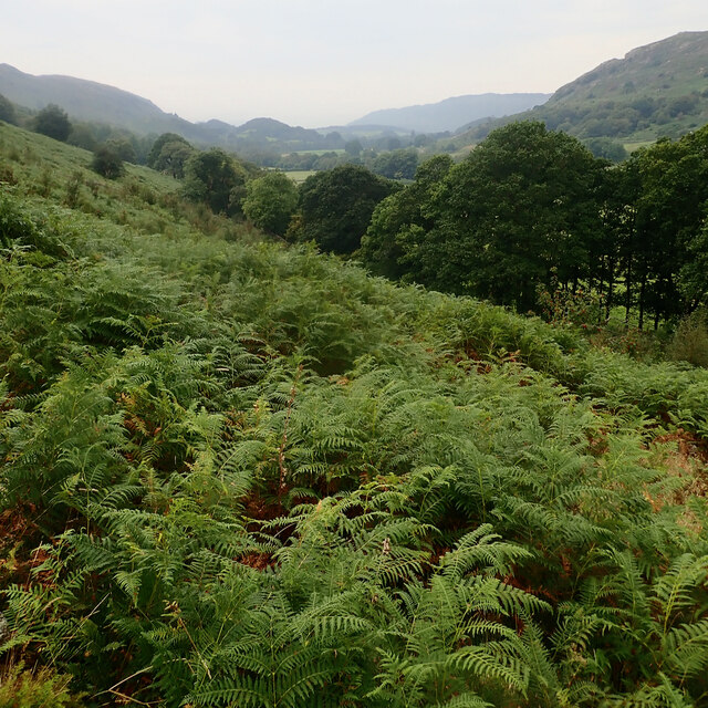
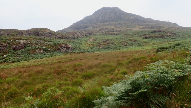
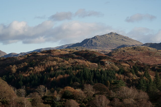
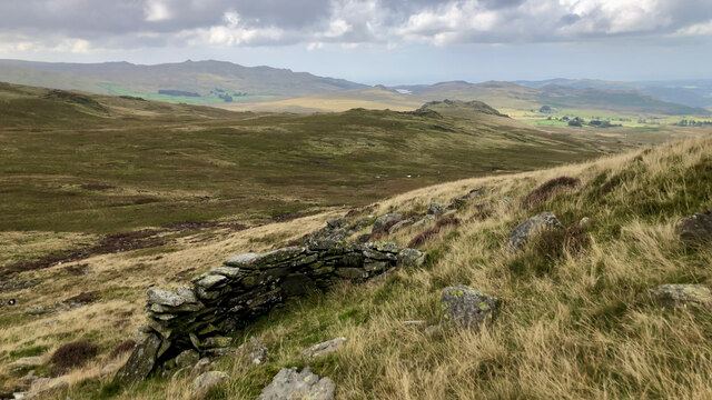
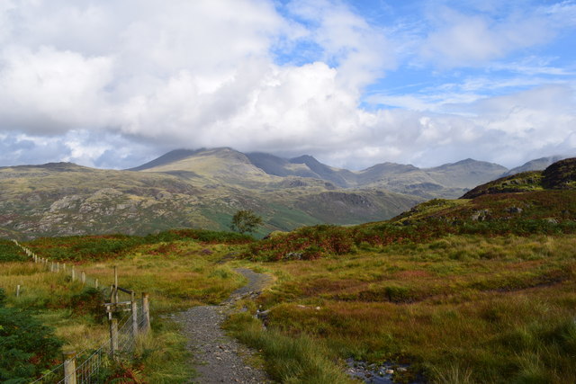
Dow Crag is part of a ridge known as the Coniston Fells, which also includes the neighboring peaks of Brim Fell and Buck Pike. The hill is characterized by its rocky and craggy terrain, offering exhilarating climbing opportunities for experienced mountaineers. Its steep and rugged slopes make it a favorite among rock climbers, who are attracted to the challenging routes and breathtaking views from the summit.
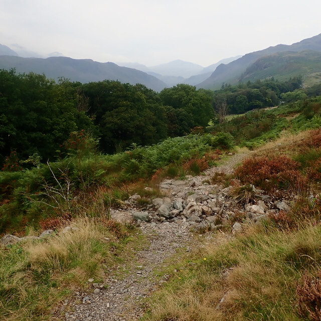
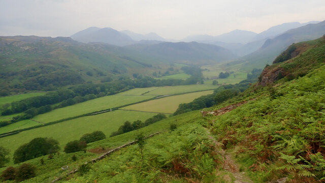
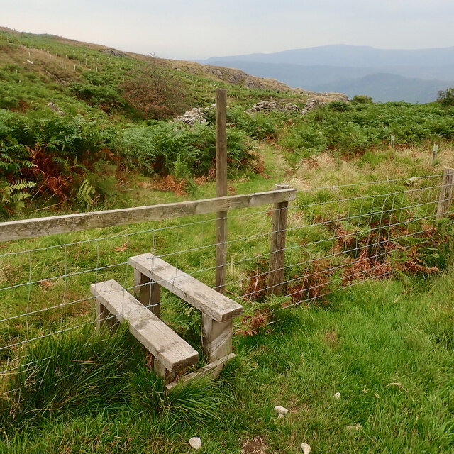
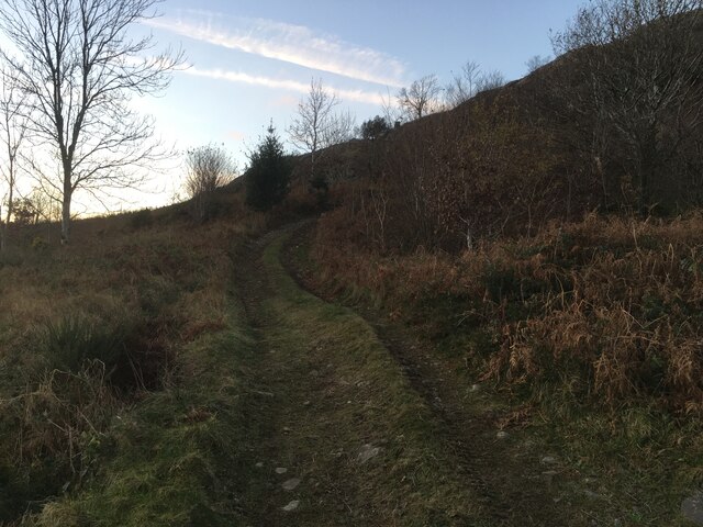
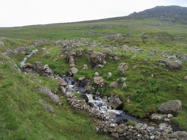
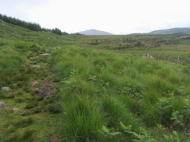
The ascent to Dow Crag typically starts from the village of Coniston, where hikers can follow well-defined paths leading to the summit. The most popular route is via Goat's Water, a stunning tarn nestled at the foot of the mountain. From there, the path winds its way up through scree slopes and rocky outcrops, requiring careful navigation. As climbers reach the summit, they are rewarded with panoramic vistas of the surrounding peaks, including the Old Man of Coniston and the Coniston Water.
Dow Crag also holds historical significance, as it was the site of a World War II aircraft crash. A memorial plaque can be found near the summit, serving as a reminder of the sacrifices made during the war.
Overall, Dow Crag in Cumberland is a challenging and visually stunning mountain, attracting outdoor enthusiasts from near and far who seek adventure and awe-inspiring landscapes.
If you have any feedback on the listing, please let us know in the comments section below.
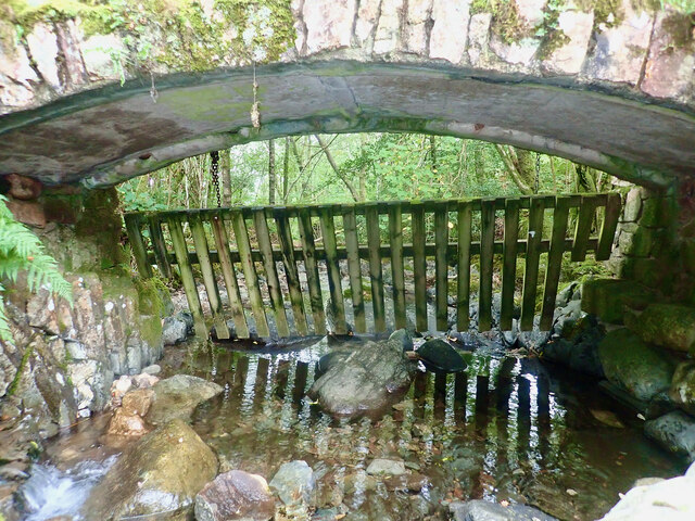
Dow Crag Images
Images are sourced within 2km of 54.384346/-3.2273511 or Grid Reference SD2099. Thanks to Geograph Open Source API. All images are credited.


Dow Crag is located at Grid Ref: SD2099 (Lat: 54.384346, Lng: -3.2273511)
Administrative County: Cumbria
District: Copeland
Police Authority: Cumbria
What 3 Words
///reconnect.scared.bounding. Near Seascale, Cumbria
Nearby Locations
Related Wikis

Green Crag
Green Crag is a fell in the English Lake District. It stands between Eskdale and the Duddon valley in the Southern Fells. == Topography == The headwaters...
Harter Fell (Eskdale)
Harter Fell is a fell in the western part of the English Lake District, located between the Eskdale and Duddon valleys. Its height is 653 metres (2,142...

Woolpack walk
The Woolpack Walk is a challenge walk which starts and finishes at the Woolpack Inn, Eskdale in the Lake District of England. The route covers 30 km (18...

Hardknott Roman Fort
Hardknott Roman Fort is an archeological site, the remains of the Roman fort Mediobogdum, located on the western side of the Hardknott Pass in the English...
Nearby Amenities
Located within 500m of 54.384346,-3.2273511Have you been to Dow Crag?
Leave your review of Dow Crag below (or comments, questions and feedback).