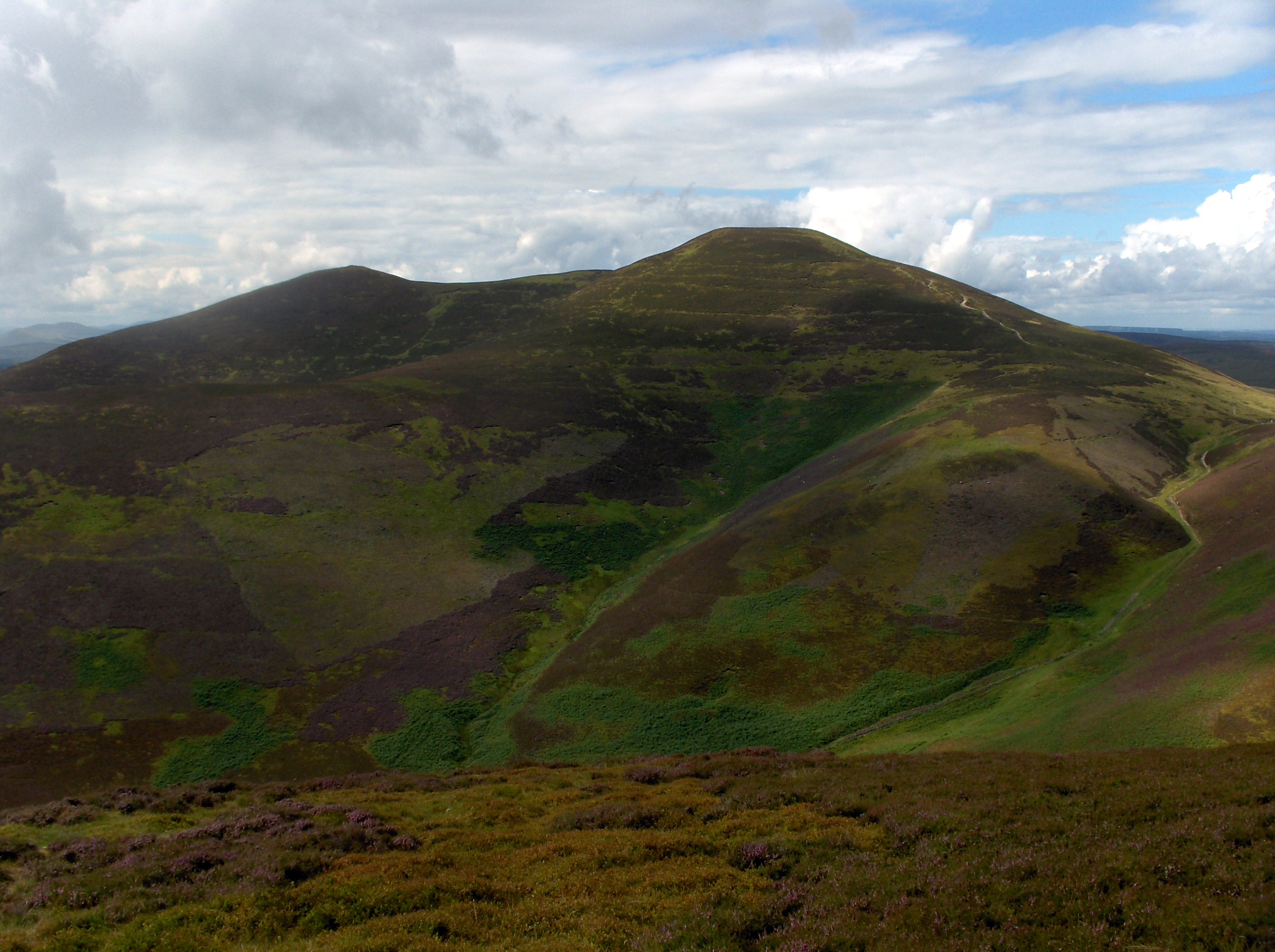
Carnethy Hill
Hill, Mountain in Midlothian
Scotland
Carnethy Hill
The requested URL returned error: 429 Too Many Requests
If you have any feedback on the listing, please let us know in the comments section below.
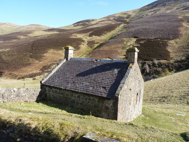
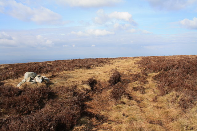
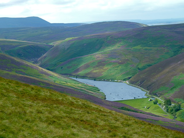
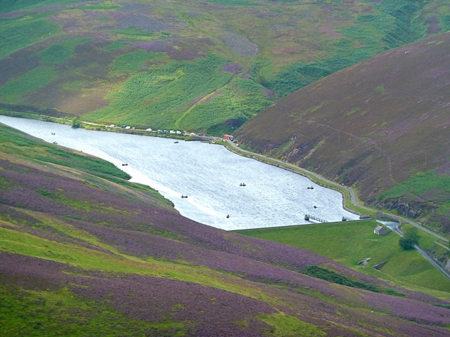
Carnethy Hill Images
Images are sourced within 2km of 55.843831/-3.2732137 or Grid Reference NT2061. Thanks to Geograph Open Source API. All images are credited.


Carnethy Hill is located at Grid Ref: NT2061 (Lat: 55.843831, Lng: -3.2732137)
Unitary Authority: Midlothian
Police Authority: The Lothians and Scottish Borders
What 3 Words
///coverage.vent.worldwide. Near Penicuik, Midlothian
Nearby Locations
Related Wikis

Carnethy Hill
Carnethy Hill, the second highest of the Pentland Hills, is a hill 3 miles (5 km) north-west of Penicuik, Scotland. It lends its name to the Carnethy 5...

Loganlea Reservoir
Loganlea Reservoir is a small reservoir in the Pentland Hills, Midlothian, Scotland, UK. The Logan Burn connects the reservoir with Glencorse Reservoir...

Battle of Rullion Green
The Battle of Rullion Green took place on 28 November 1666, near the Pentland Hills, in Midlothian, Scotland. It was the only significant battle of the...
Scald Law
Scald Law is a hill in Midlothian, Scotland. At 579 metres (1,900 ft) it is the highest of the Pentland Hills. The hill is composed of Devonian volcanic...
Nearby Amenities
Located within 500m of 55.843831,-3.2732137Have you been to Carnethy Hill?
Leave your review of Carnethy Hill below (or comments, questions and feedback).