Pen-y-clawdd Hill

Hill, Mountain in Radnorshire

Wales

Pen-y-clawdd Hill

Between road and railway The trees hide that survivor, the Central Wales railway.
Between road and railway Credit: Richard Webb

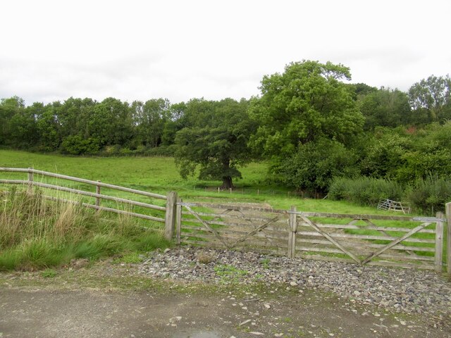
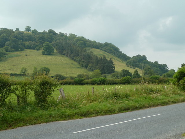
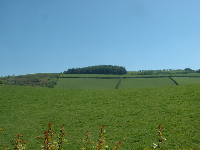
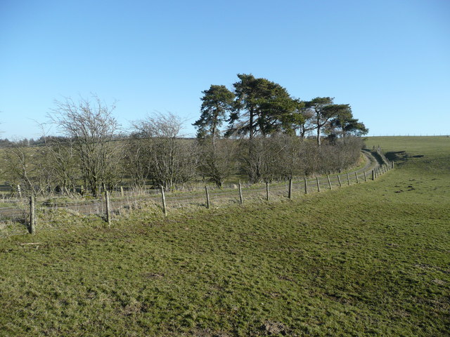
Pen-y-clawdd Hill is a prominent hill located in Radnorshire, Wales. It is situated near the village of Pen-y-clawdd and rises to an elevation of 488 meters (1,601 feet) above sea level. The hill is part of the Radnor Forest and offers stunning panoramic views of the surrounding countryside.

Pen-y-clawdd Hill is a popular destination for hikers and nature enthusiasts, with several walking trails leading to the summit. The hill is covered in a mix of grassland, heathland, and woodland, providing habitat for a variety of wildlife including birds, mammals, and insects.

The hill is also known for its historical significance, with traces of ancient settlements and burial mounds dating back to the Bronze Age. Archaeological excavations have uncovered artifacts and evidence of human activity on the hill.

Overall, Pen-y-clawdd Hill is a picturesque and historically rich destination for those looking to explore the natural beauty and cultural heritage of Radnorshire. Its diverse landscape, wildlife, and archaeological sites make it a must-visit for outdoor enthusiasts and history buffs alike.

If you have any feedback on the listing, please let us know in the comments section below.

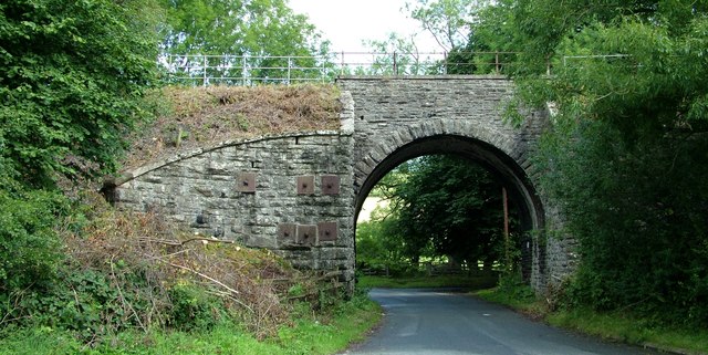
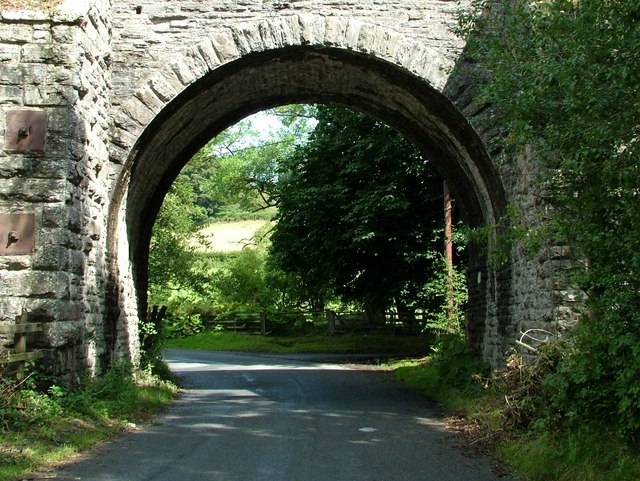
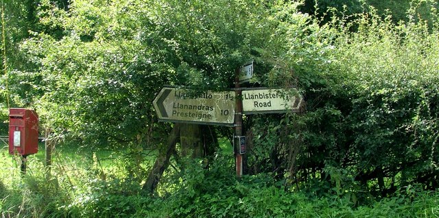
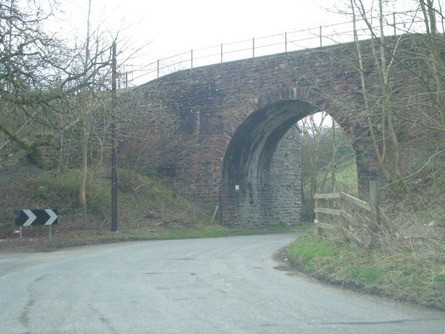
Pen-y-clawdd Hill Images

Images are sourced within 2km of 52.327472/-3.1856469 or Grid Reference SO1970. Thanks to Geograph Open Source API. All images are credited.

Between road and railway The trees hide that survivor, the Central Wales railway.
Between road and railway
The trees hide that survivor, the Central Wales railway.
Road, valley floor, and hillside By the B4356, east of the railway bridge.  The plantation on the hillside in the next square southwest is clear on the map.
Road, valley floor, and hillside
By the B4356, east of the railway bridge. The plantation on the hillside in the next square southwest is clear on the map.
Crug Bridge The Crug Bridge that carries the Heart of Wales railway line over the B4356 West of Llangunllo - locally known as Gravel Arch.
Crug Bridge
The Crug Bridge that carries the Heart of Wales railway line over the B4356 West of Llangunllo - locally known as Gravel Arch.
Gravel Arch bridge The Crug Bridge that carries the Heart of Wales railway line over the B4356 West of Llangunllo - locally known as Gravel Arch.
Gravel Arch bridge
The Crug Bridge that carries the Heart of Wales railway line over the B4356 West of Llangunllo - locally known as Gravel Arch.
Gravel Arch road junction Road signs at the junction below Crug bridge, Gravel Arch - just to the West of Llangunllo
Gravel Arch road junction
Road signs at the junction below Crug bridge, Gravel Arch - just to the West of Llangunllo
Railway bridge (Heart of Wales Line) over the B4356
Wayside cottage
Wayside cottage
Farmland near Maylord farm
The road near Maylord farm
Railway embankment thicket Though the Heart of Wales Railway is only a few yards away, it's totally hidden by the lush undergrowth.
Railway embankment thicket
Though the Heart of Wales Railway is only a few yards away, it's totally hidden by the lush undergrowth.
Bridleway on Pen-y-clawdd Hill The pines are planted alongside a track over the 400m hill south-west of Llangunllo.
Bridleway on Pen-y-clawdd Hill
The pines are planted alongside a track over the 400m hill south-west of Llangunllo.
Looking across the Nant yr Wyn valley View north from the very minor road from Crungoed to Llangunllo.
Looking across the Nant yr Wyn valley
View north from the very minor road from Crungoed to Llangunllo.
Round Buildings This is the name given to this farm on the 1:25,000 map.  Viewed from the bridleway which runs from Bleddfa to Cwm-y-gaist.
Round Buildings
This is the name given to this farm on the 1:25,000 map. Viewed from the bridleway which runs from Bleddfa to Cwm-y-gaist.
Railway bridge Railway Bridge crossing the B4356
Railway bridge
Railway Bridge crossing the B4356
Gravel Chapel The chapel at gravel in Powys with its fine Yew Tree
Gravel Chapel
The chapel at gravel in Powys with its fine Yew Tree
Towards Llwynycaedu  Looking towards Llwynycaedu from the Bleddfa to Cwm-y-gaist bridleway.
Towards Llwynycaedu
Looking towards Llwynycaedu from the Bleddfa to Cwm-y-gaist bridleway.
Near Llwynycaedu  The Bleddfa to Cwm-y-gaist bridleway near Llwynycaedu.
Near Llwynycaedu
The Bleddfa to Cwm-y-gaist bridleway near Llwynycaedu.
Near Llwynycaedu  The Bleddfa to Cwm-y-gaist bridleway near Llwynycaedu.
Near Llwynycaedu
The Bleddfa to Cwm-y-gaist bridleway near Llwynycaedu.
Show me another place!

Pen-y-clawdd Hill is located at Grid Ref: SO1970 (Lat: 52.327472, Lng: -3.1856469)

Unitary Authority: Powys

Police Authority: Dyfed Powys

What 3 Words

///commit.coast.supported. Near Whitton, Powys

Related Wikis

Llangunllo

Llangunllo (sometimes Llangynllo) is a village and community in central Powys (formerly in Radnorshire), Wales, located about 5 miles west of Knighton...

Llanbister Road railway station

Llanbister Road railway station is a countryside stop about 5 miles (8 km) from the village of Llanbister, Powys, Wales. The station is 41+3⁄4 miles (67...

Bleddfa

Bleddfa is a village in which lies on the road from Knighton to Penybont and is located in the community of Llangunllo, Powys, Wales. It is 5 miles from...

Bleddfa Castle

Bleddfa Castle (sometimes referred to as Bledeach or Bledvach Castle) was a motte and bailey structure near Llangunllo in modern-day Powys, Wales. It...

Nearby Amenities

Located within 500m of 52.327472,-3.1856469
Place: farm
Lat/Long: 52.327179/-3.1819567
The data included in this document is from www.openstreetmap.org. The data is made available under ODbL.

Have you been to Pen-y-clawdd Hill?

Leave your review of Pen-y-clawdd Hill below (or comments, questions and feedback).