Camp Hill
Hill, Mountain in Midlothian
Scotland
Camp Hill
The requested URL returned error: 429 Too Many Requests
If you have any feedback on the listing, please let us know in the comments section below.
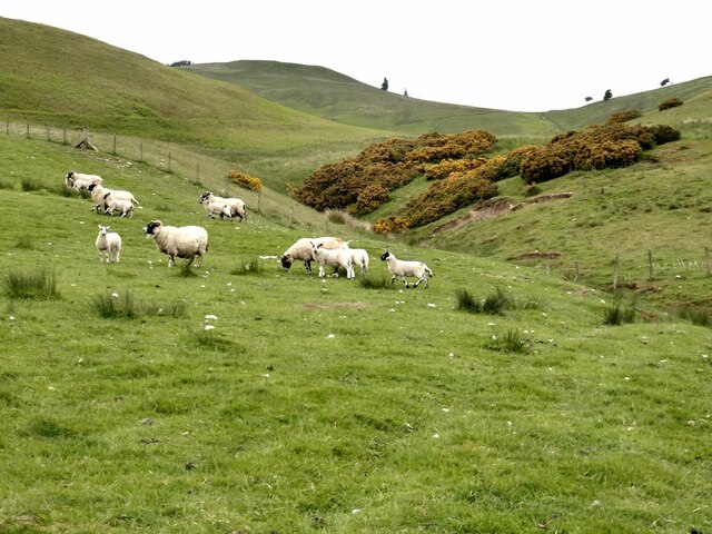
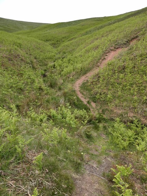
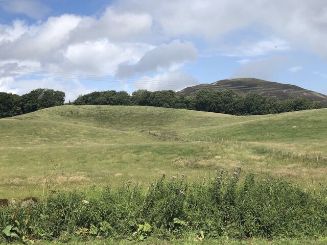
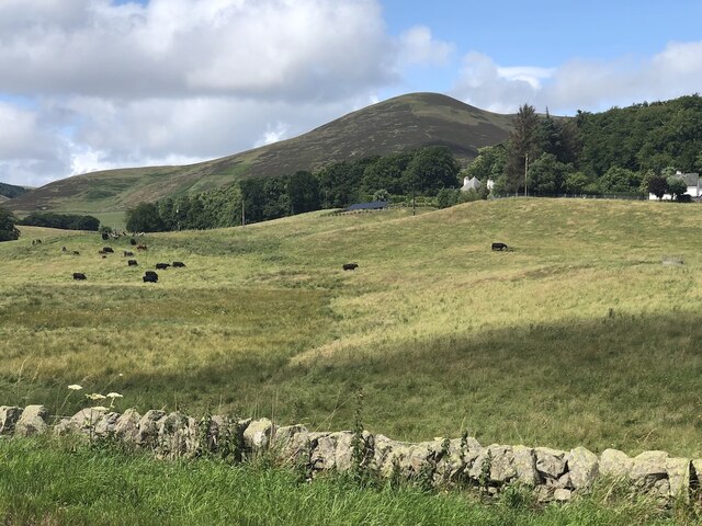
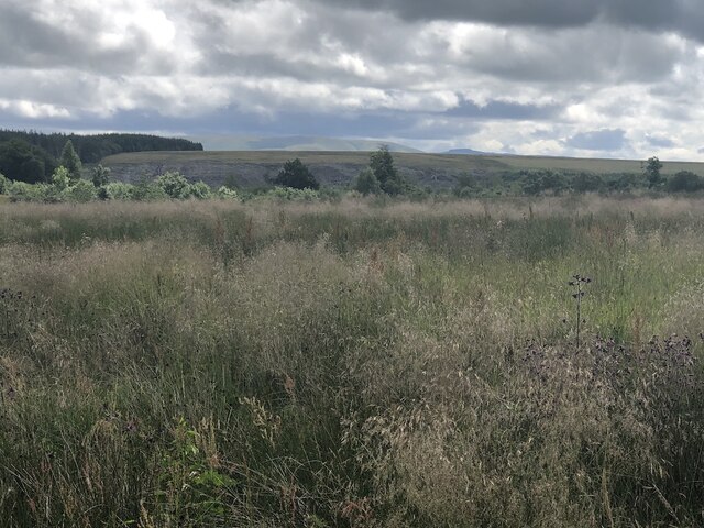
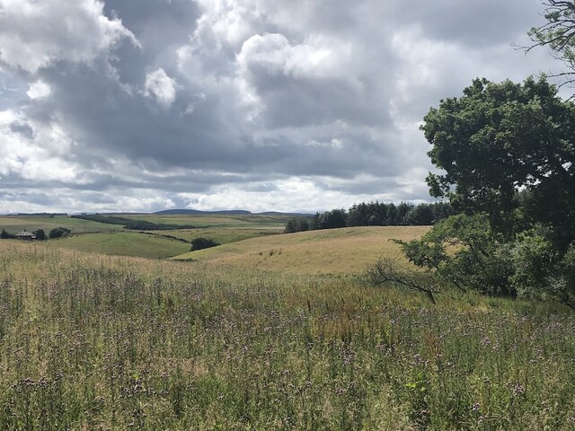
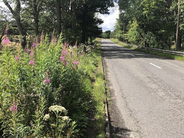
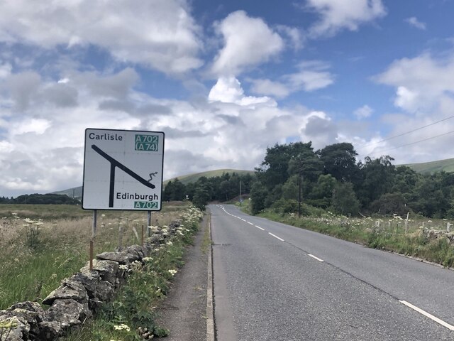
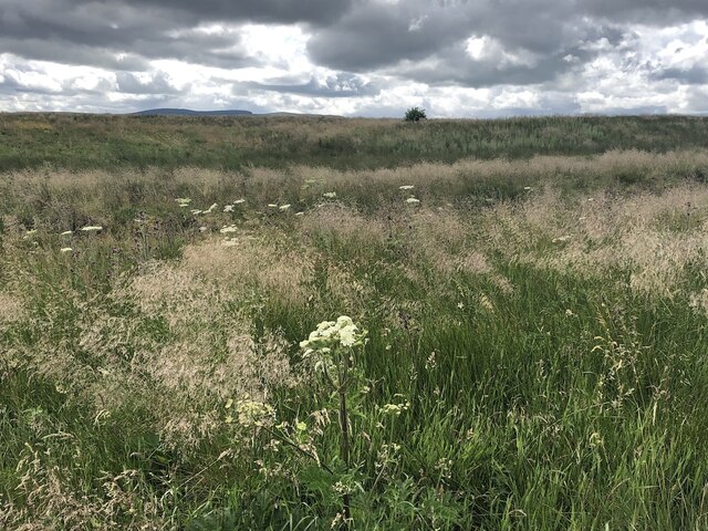
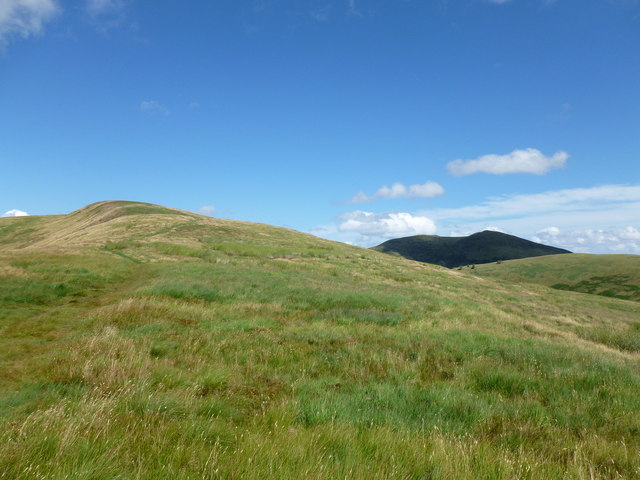
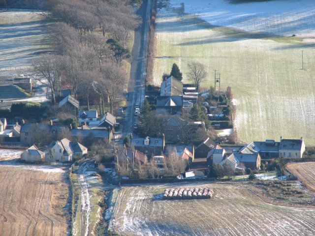
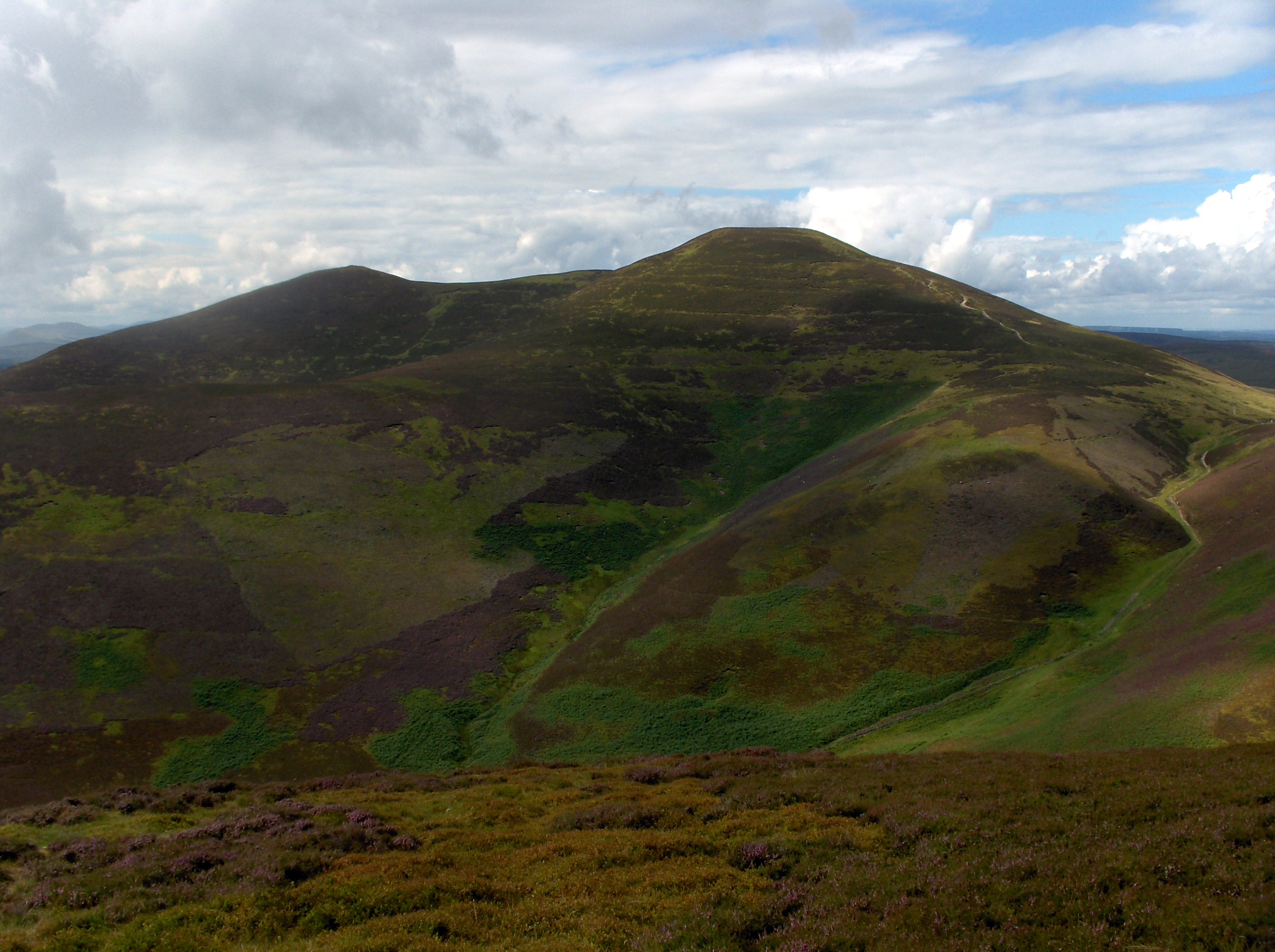
Camp Hill Images
Images are sourced within 2km of 55.823225/-3.2897796 or Grid Reference NT1959. Thanks to Geograph Open Source API. All images are credited.


Camp Hill is located at Grid Ref: NT1959 (Lat: 55.823225, Lng: -3.2897796)
Unitary Authority: Midlothian
Police Authority: The Lothians and Scottish Borders
What 3 Words
///overture.targeted.stuffy. Near Penicuik, Midlothian
Nearby Locations
Related Wikis

Eight Mile Burn
Eight Mile Burn is a small settlement in Midlothian, South East Scotland, at the base of Pentland Hills Regional Park. It is approximately 11 miles from...

South Black Hill
South Black Hill is a hill in the Pentland Hills range of Scotland. It is located in the west of Midlothian on the east flank of the approximately 25 km...
Silverburn, Midlothian
Silverburn is a small hamlet near Penicuik, in Midlothian, south-east Scotland. It has a small community centre, with a garden surrounding the hall, which...
Scald Law
Scald Law is a hill in Midlothian, Scotland. At 579 metres (1,900 ft) it is the highest of the Pentland Hills. The hill is composed of Devonian volcanic...
Nearby Amenities
Located within 500m of 55.823225,-3.2897796Have you been to Camp Hill?
Leave your review of Camp Hill below (or comments, questions and feedback).